Sequoia & Kings Canyon National Parks
Hey everyone, hope you’re doing well.
When I found out I was headed to Three Rivers, California, for a training, I was excited about the opportunity to explore Sequoia and Kings Canyon National Parks. I’d visited for a day back in 2010, but didn’t have much time to do any exploring beyond a visit to the Giant Forest and a hike up Moro Rock. After a long day of travel, including a quick stop at Trader Joe’s and In-N-Out Burger, I checked into my hotel around 9 p.m. and called it a night.
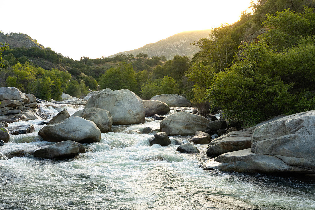
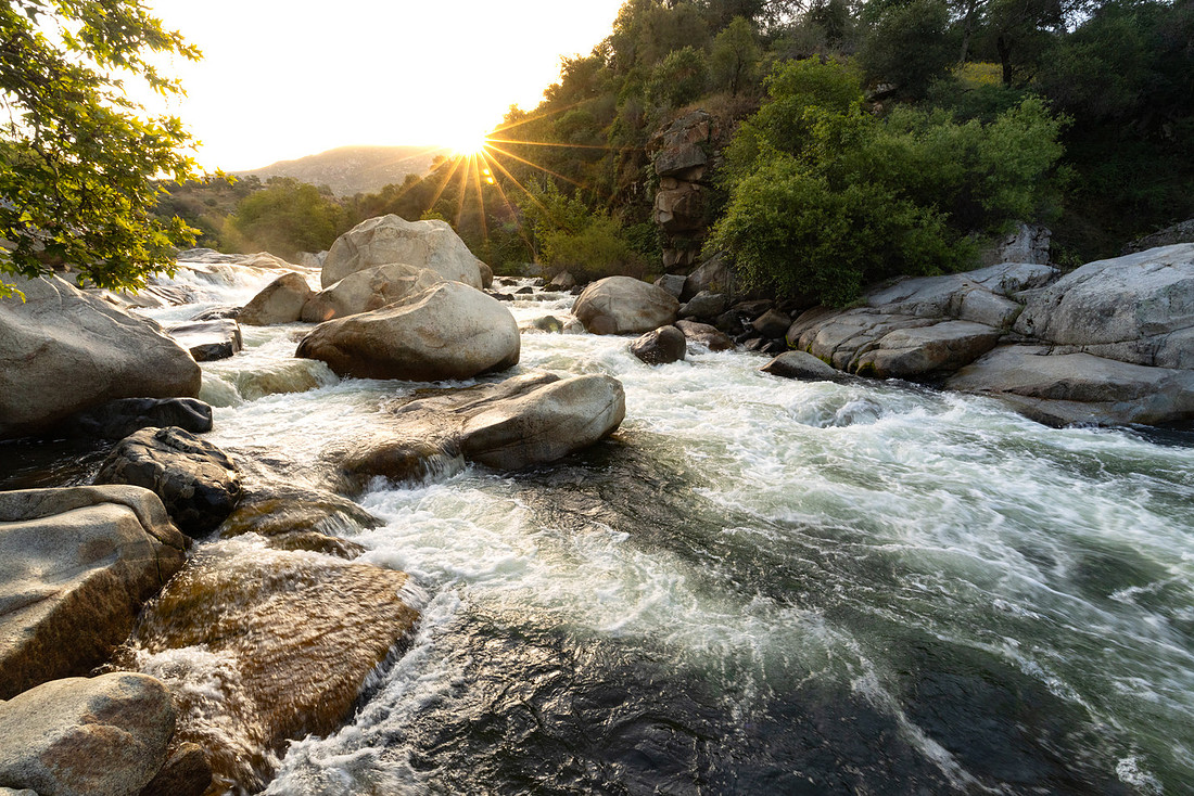
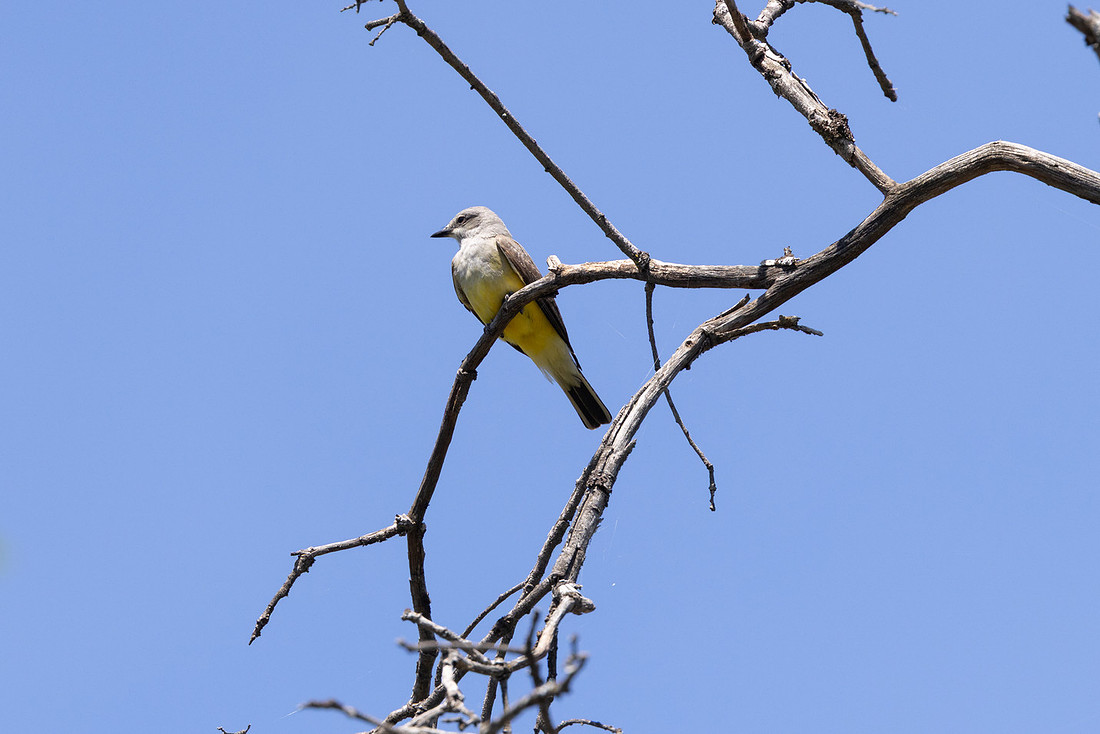
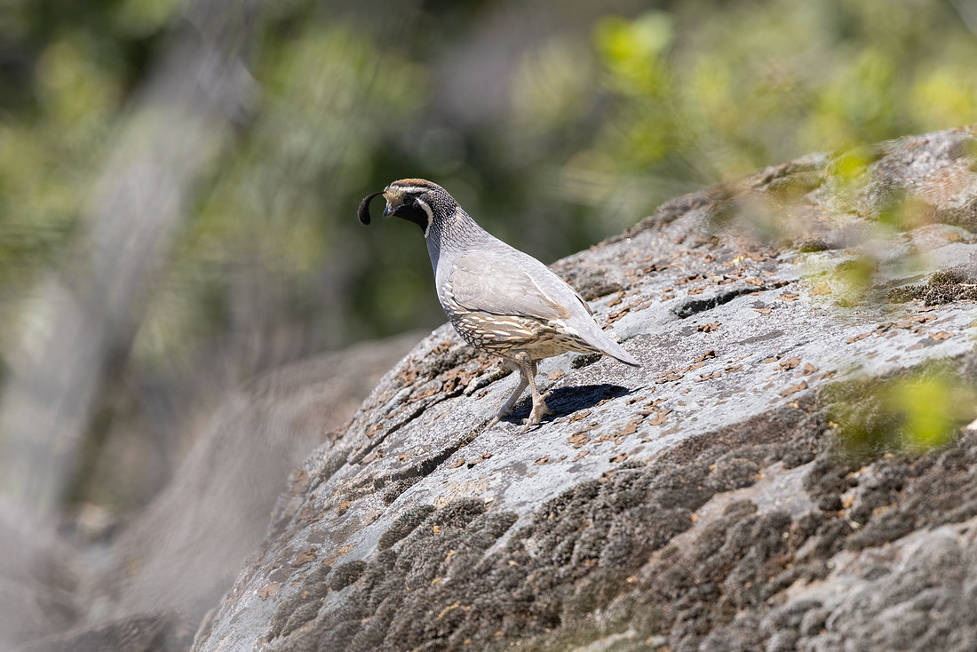
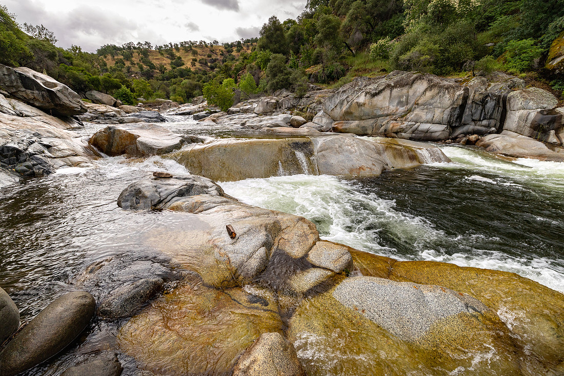
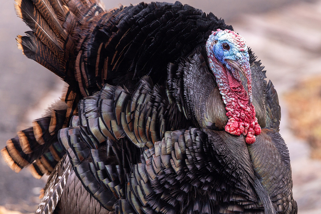
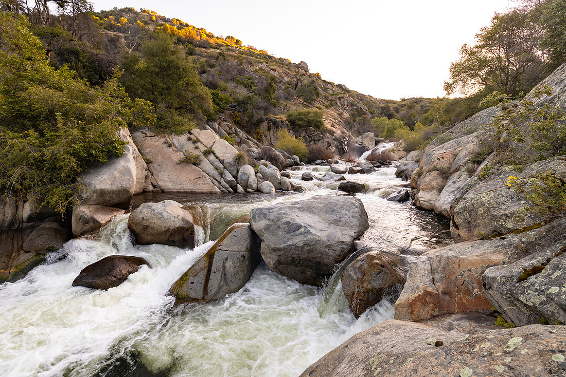
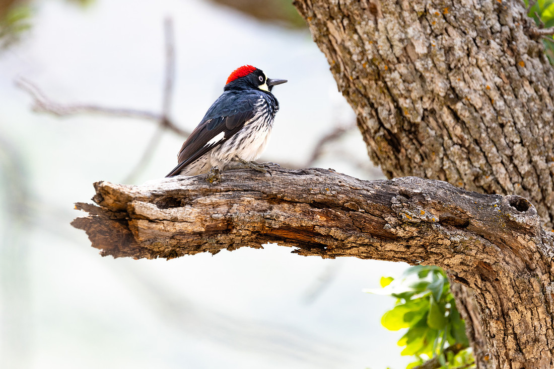
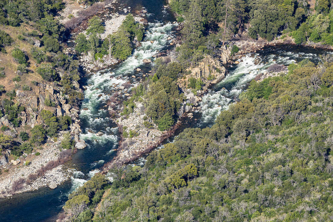
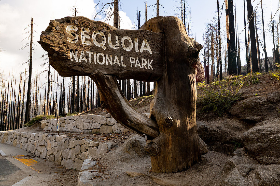
The following morning, I got up early to do some birding and take a short hike before training started. I headed down to the Middle Fork of the Kaweah River just below the park’s historic entrance sign and watched the sunrise. The river was flowing clear and fast, and the morning was filled with the sounds of canyon wrens, California towhees, and acorn woodpeckers. It was a great introduction to the lower elevations of the park and a nice way to start the week.

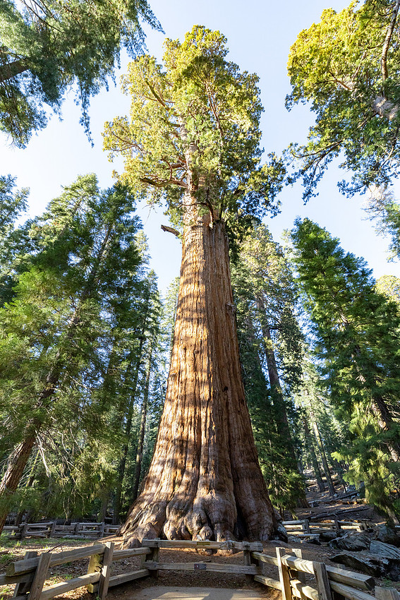
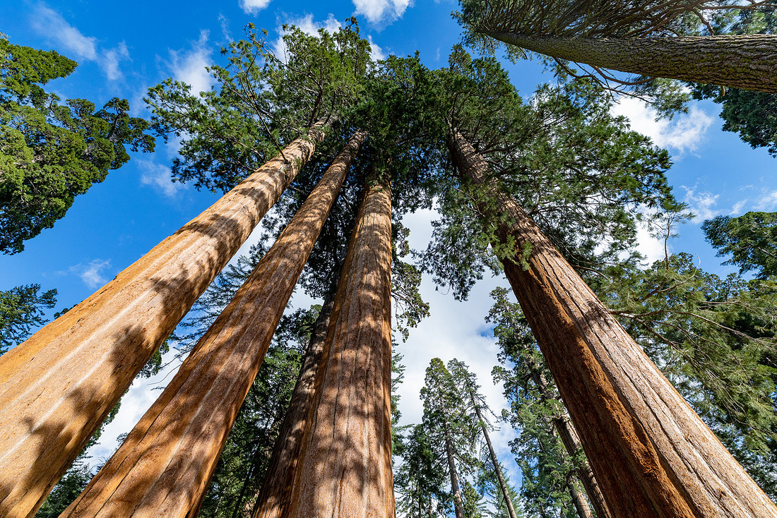
Forecasters were calling for a significant snowstorm the following day, so after training wrapped up I drove up to the Giant Forest to do some exploring and catch the sunset. My first stop was the General Sherman Tree, the world's largest tree by volume. It’s almost impossible to capture the scale of these giant sequoias in photographs. Without a person standing nearby for reference, the trees just don’t look as massive as they really are. Even standing at the base and looking straight up, it’s difficult to comprehend just how much living wood is packed into a single tree.
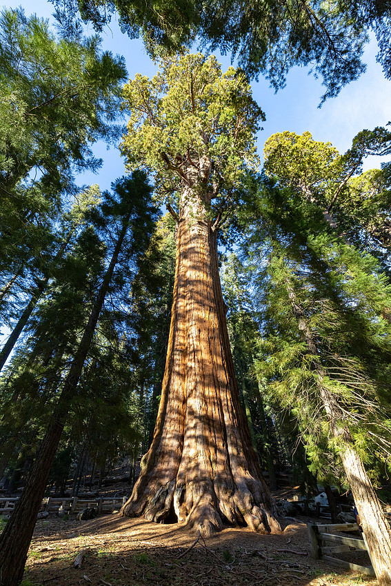
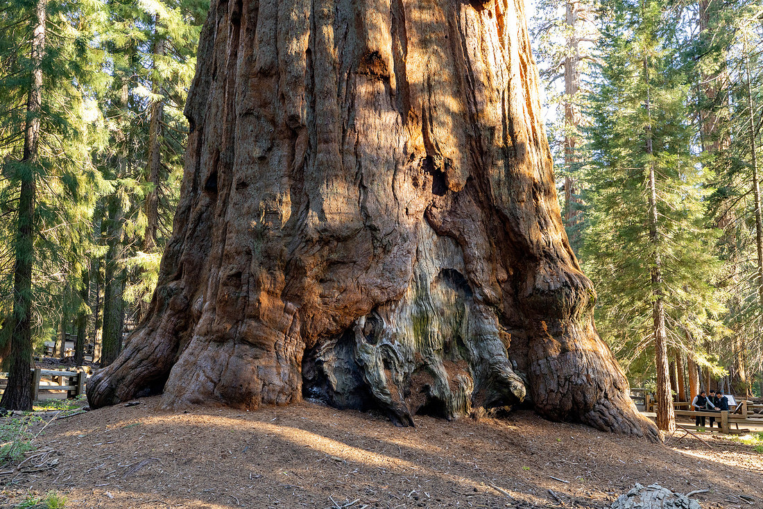
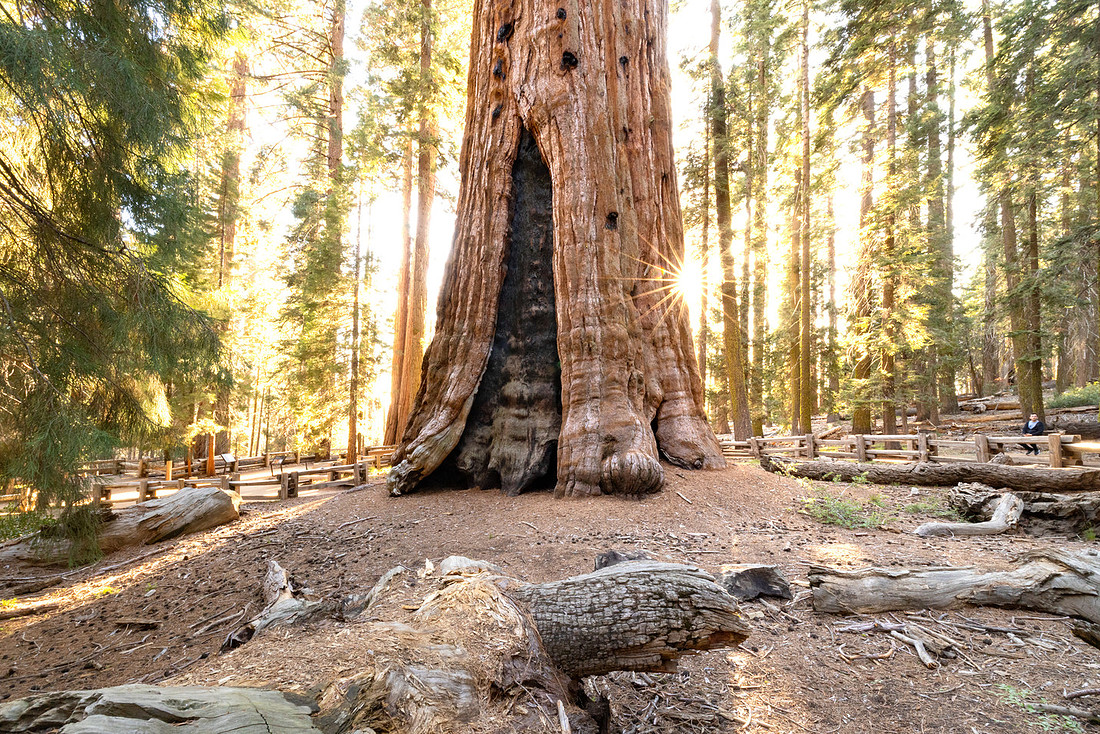
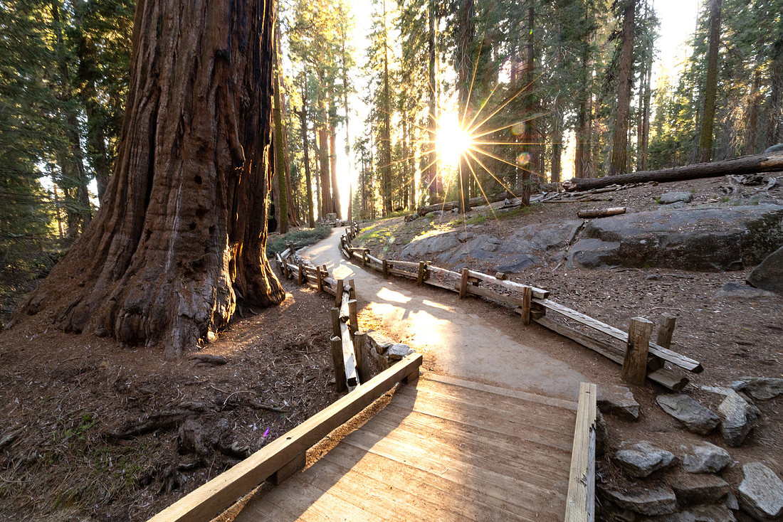
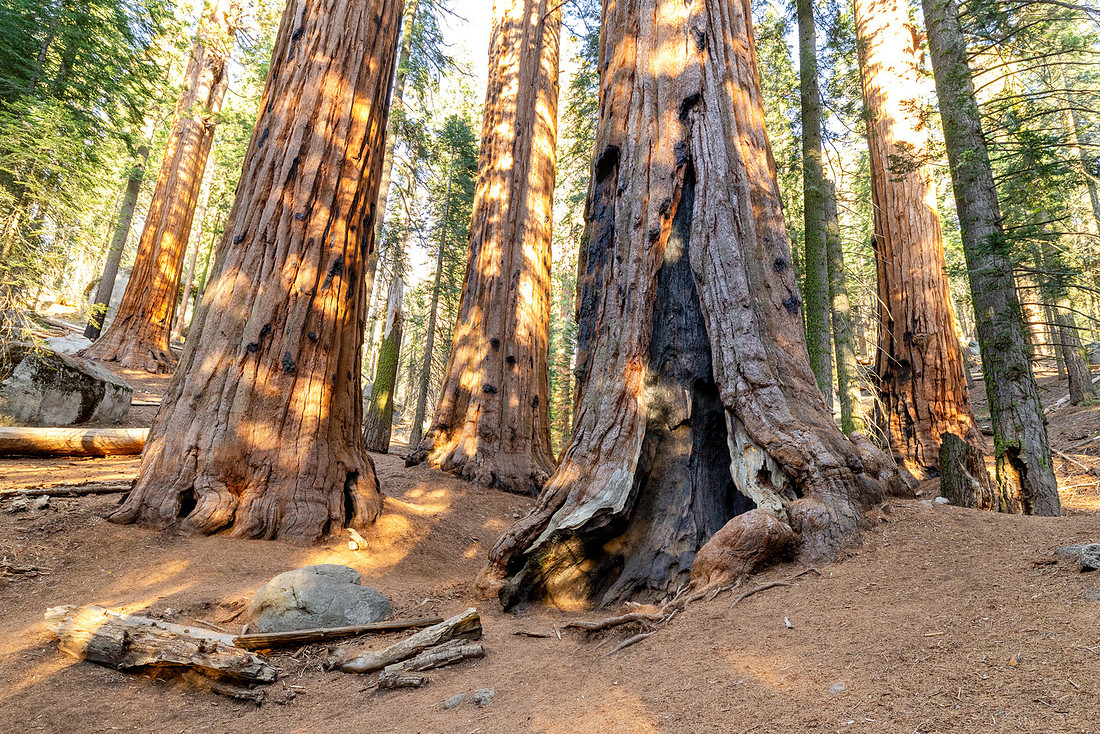
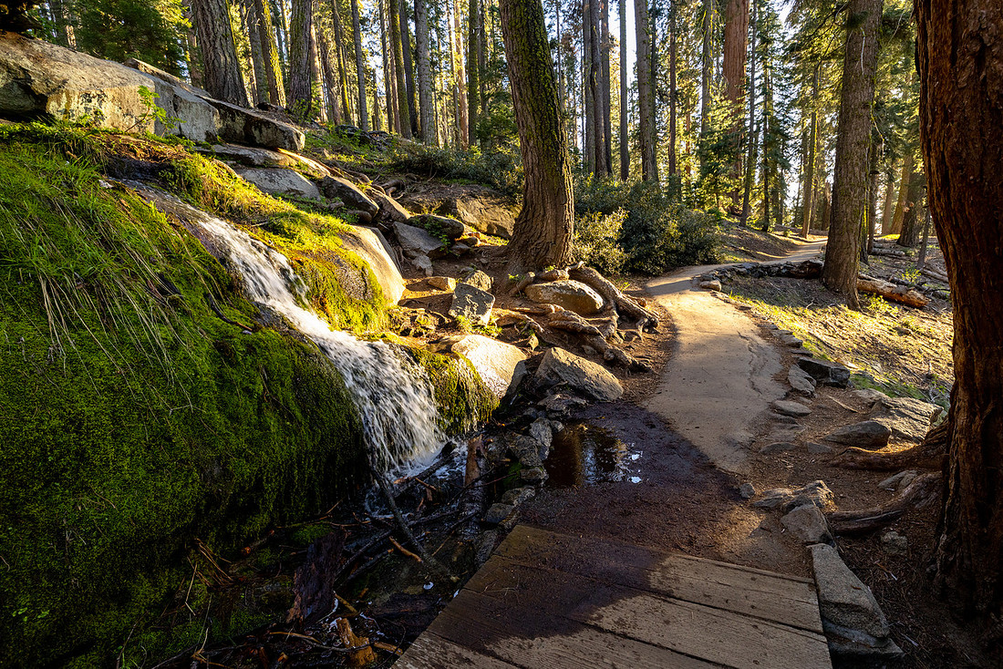
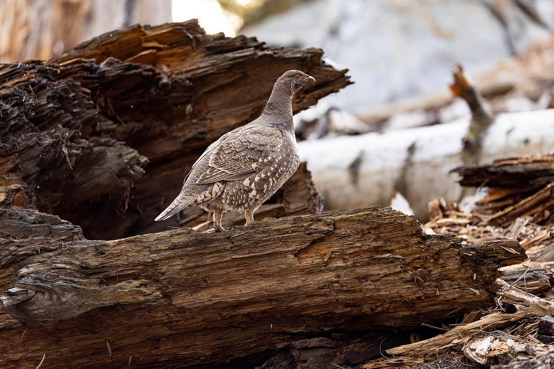
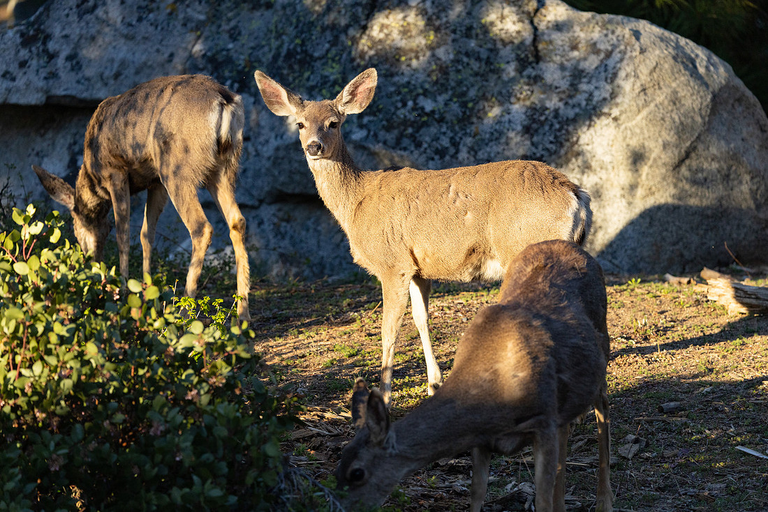
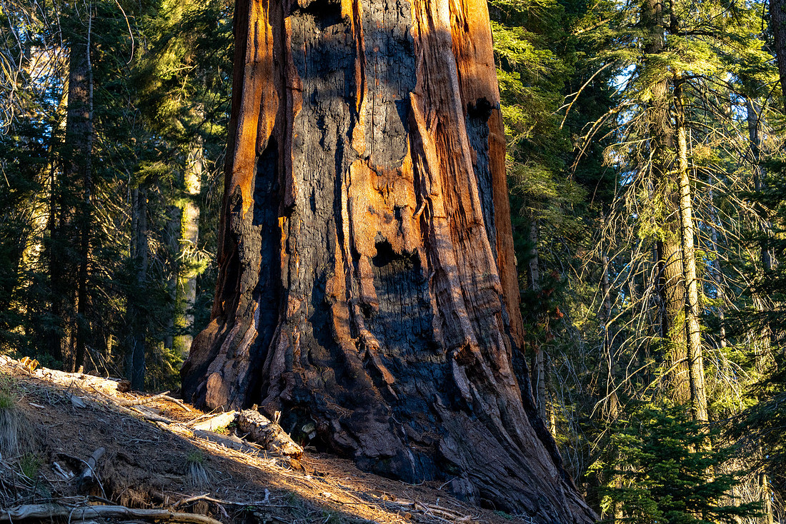
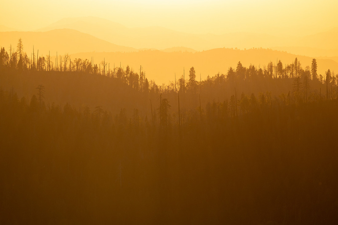
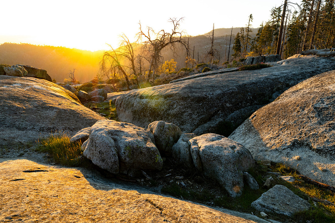
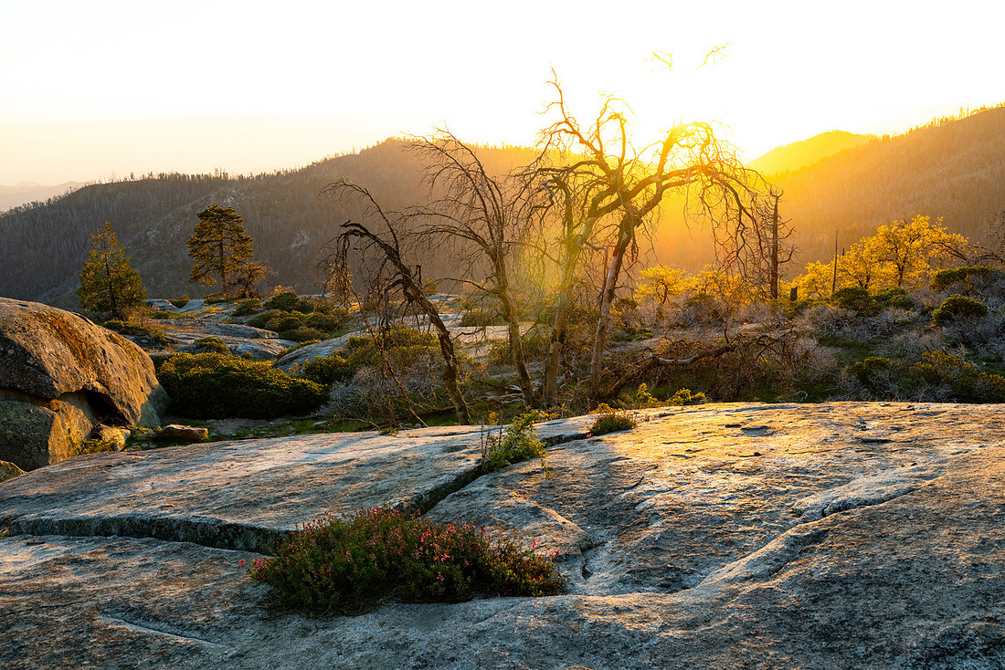
After wandering through the grove for a while, I stopped by the Giant Forest Museum and then hiked out toward Sunset Rock. The weather cooperated just enough to provide a nice end to the day, with views stretching across the forested landscape as the sun dropped behind the mountains.
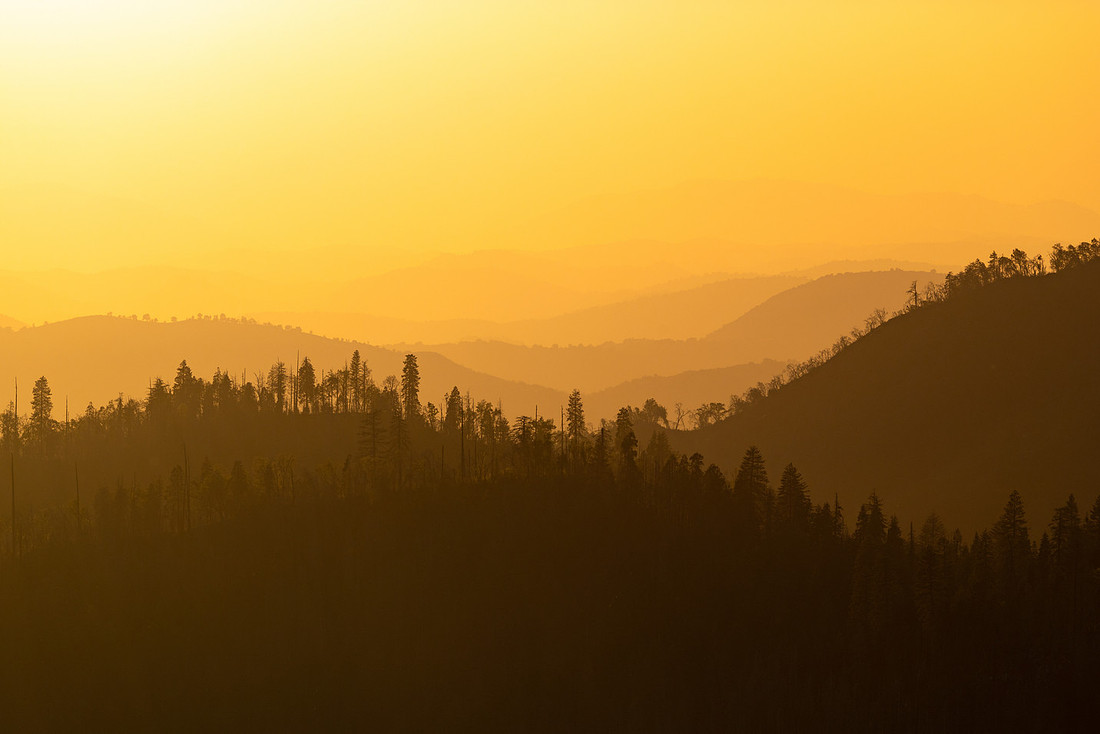
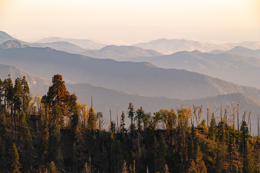
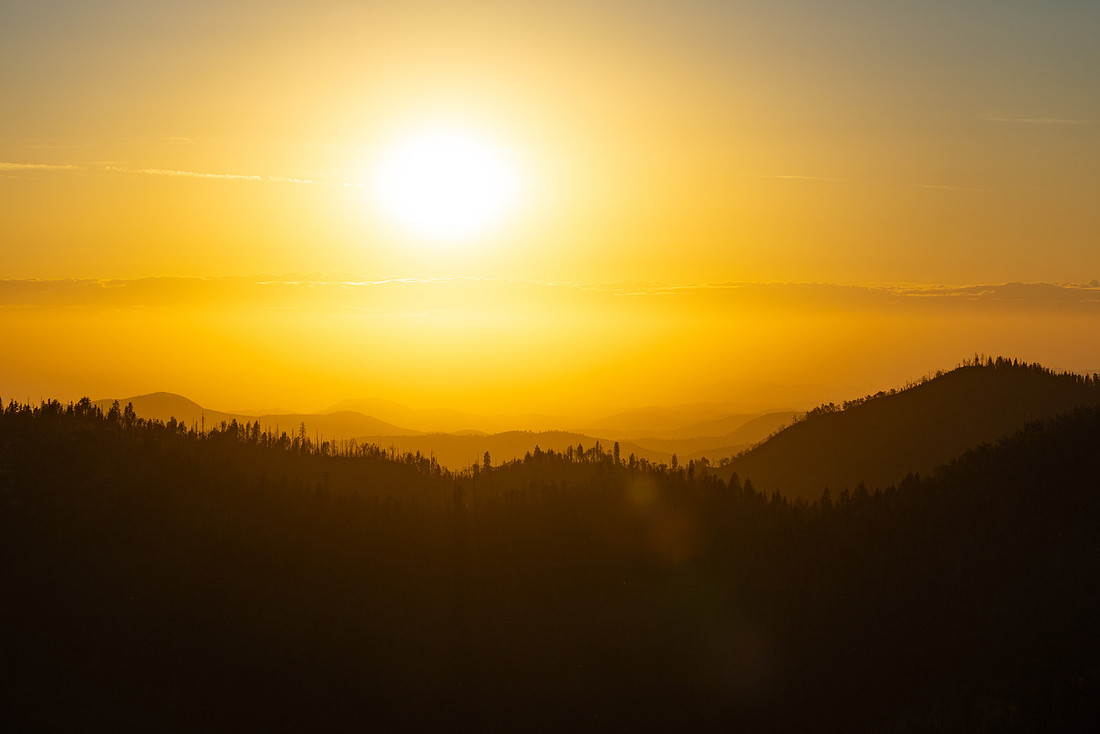
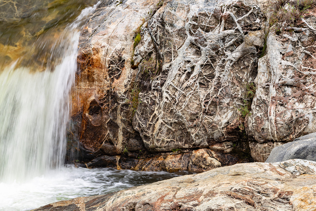
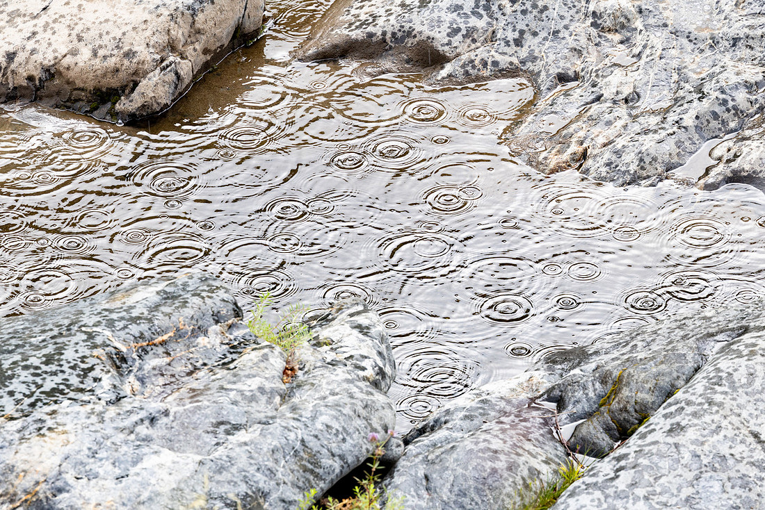
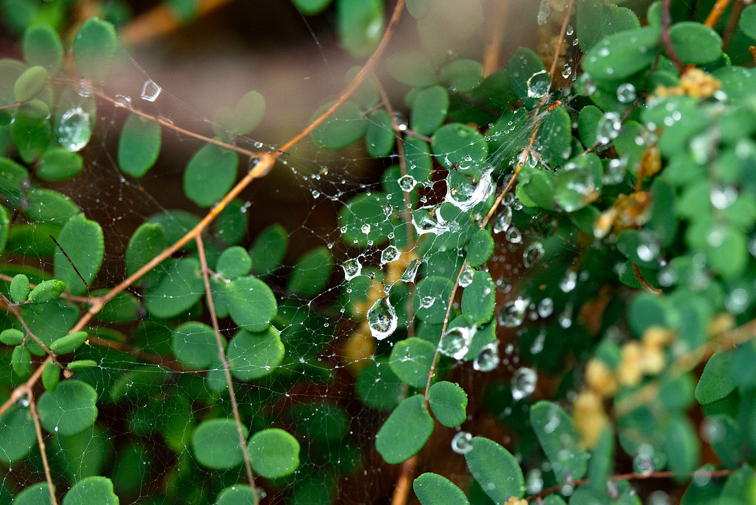
The next morning brought rain. It came down steadily for much of the day before finally tapering off in the afternoon. Once training ended, I headed back down toward the river. About halfway through the hike it started raining again, forcing me to wait out the heaviest part of the storm beneath a large tree. Eventually the weather moved through, the sun reappeared, and I spent some time exploring along the river as the landscape brightened back up. The wet conditions brought out the colors in the rocks and vegetation, and the river seemed even more vibrant under the clearing skies.
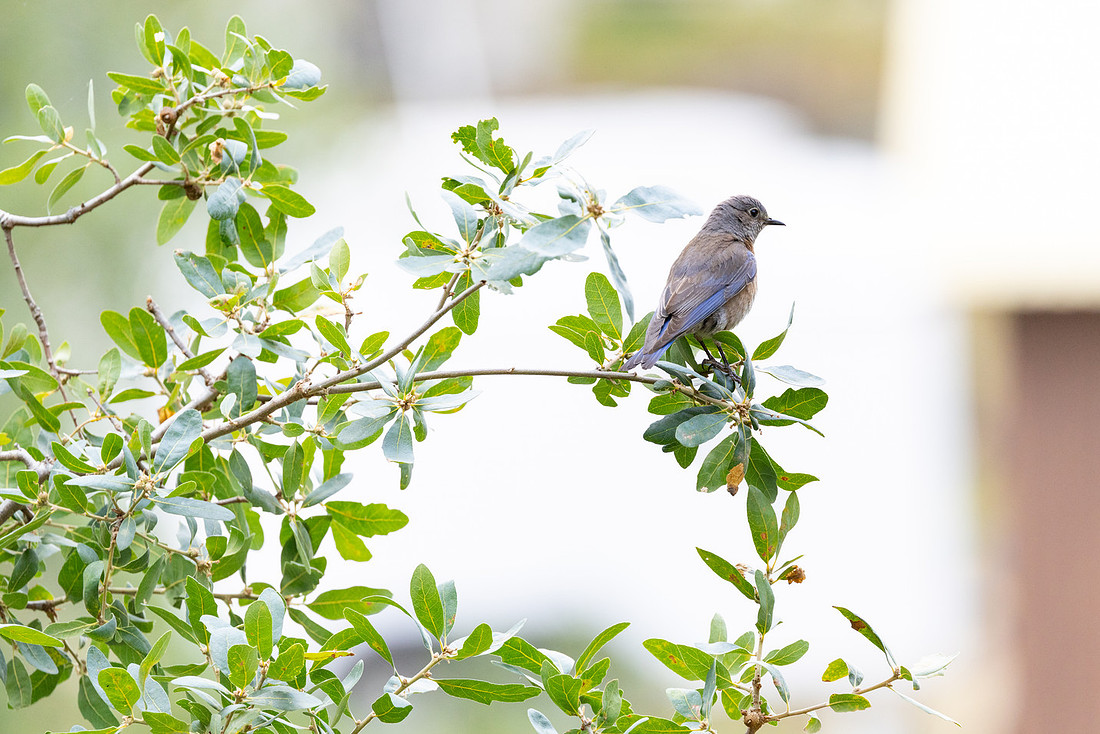
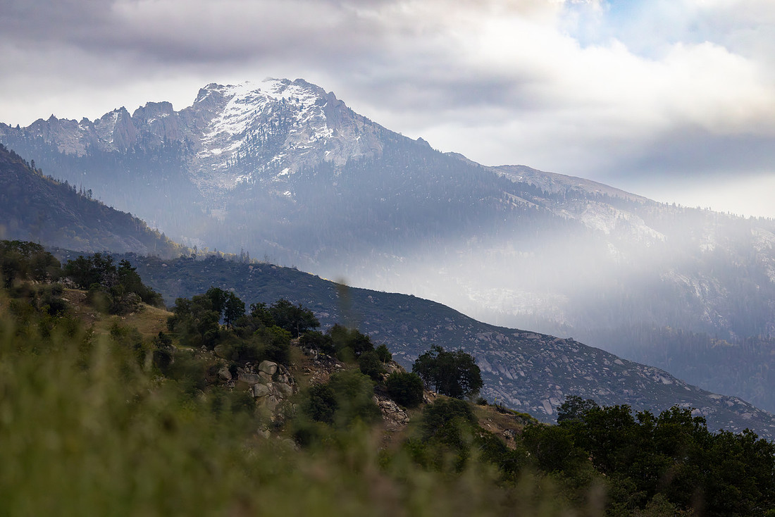
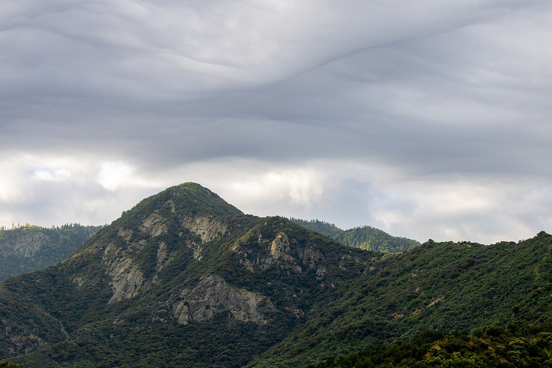
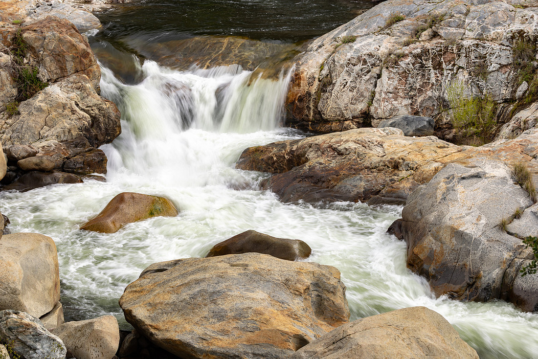
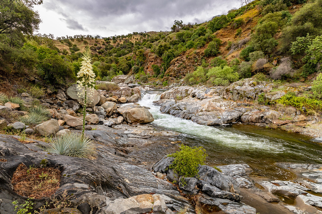
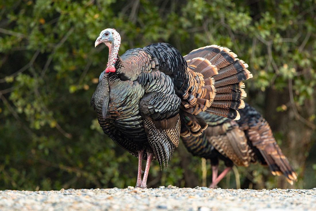
The following morning I returned to the park before sunrise for more birding and roadside exploring. I practically had the road to myself, which made it easy to stop at nearly every pullout and check out several of the short trails along the way. One of the best parts of traveling alone is being able to pull over whenever something catches your eye, and that’s exactly what I did.
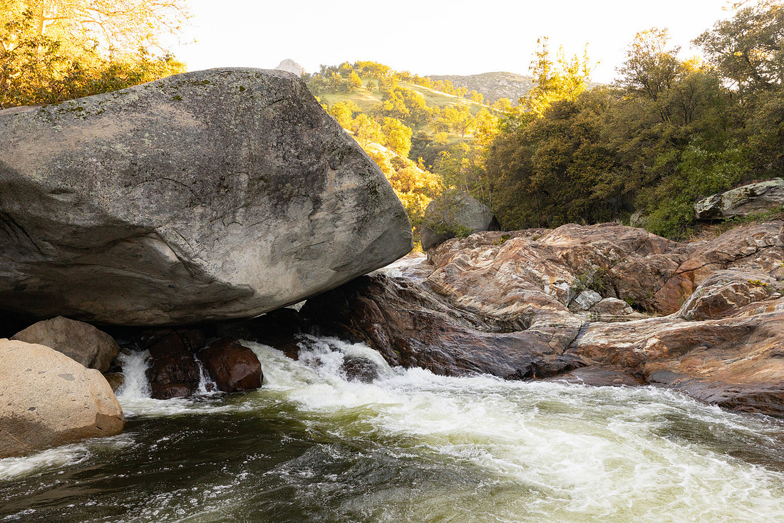
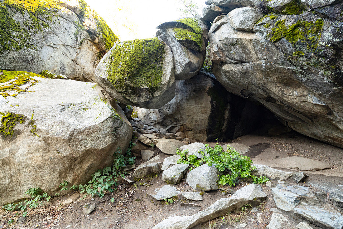
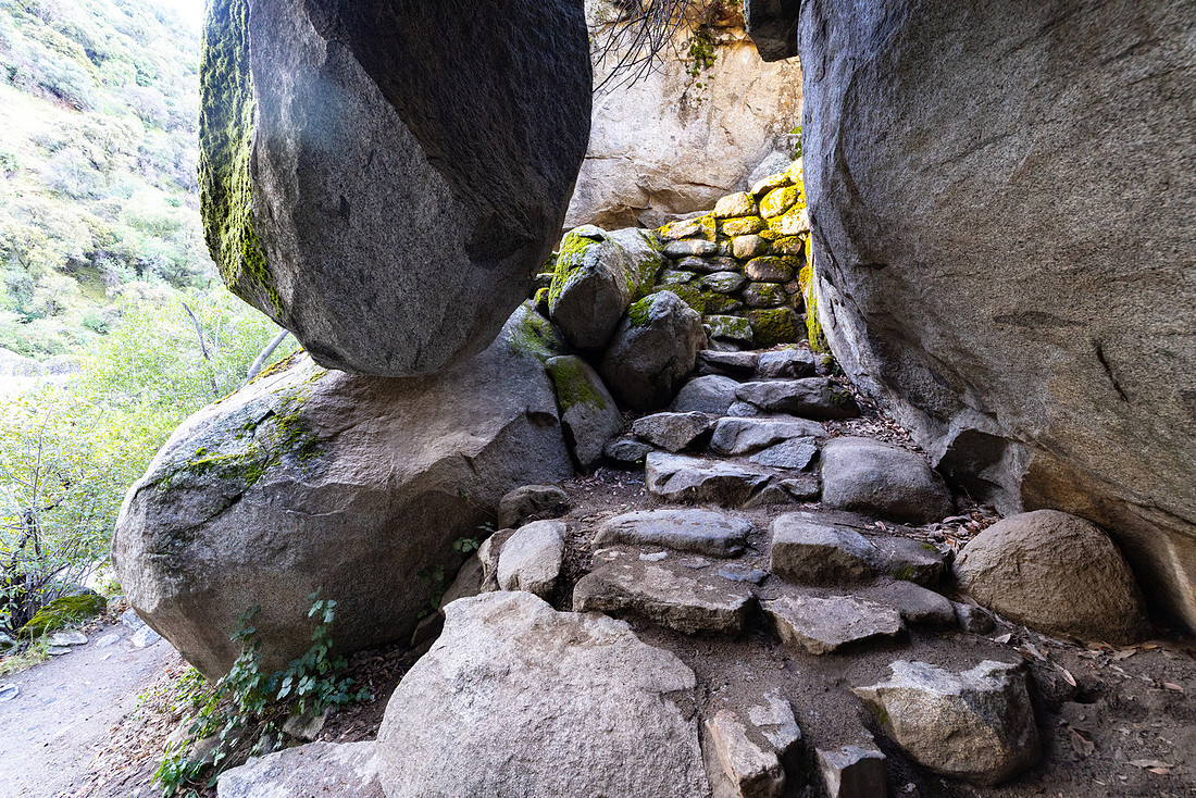
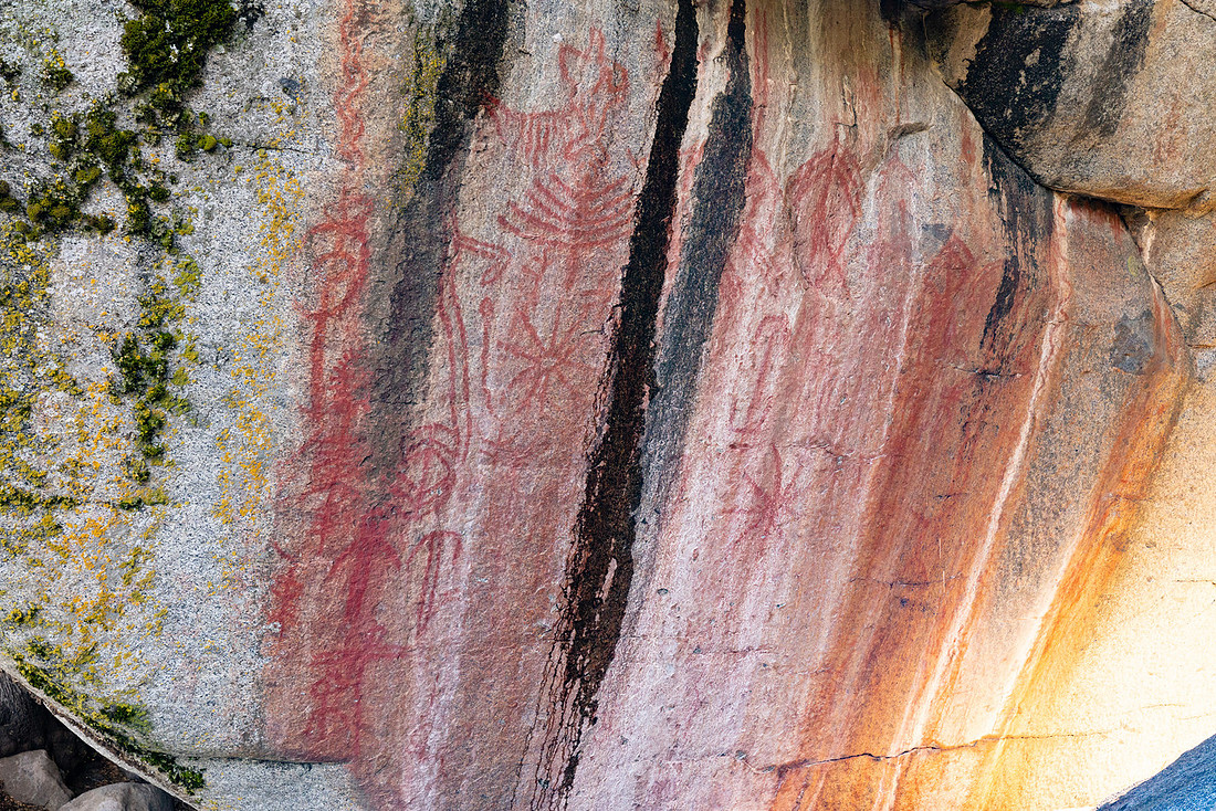
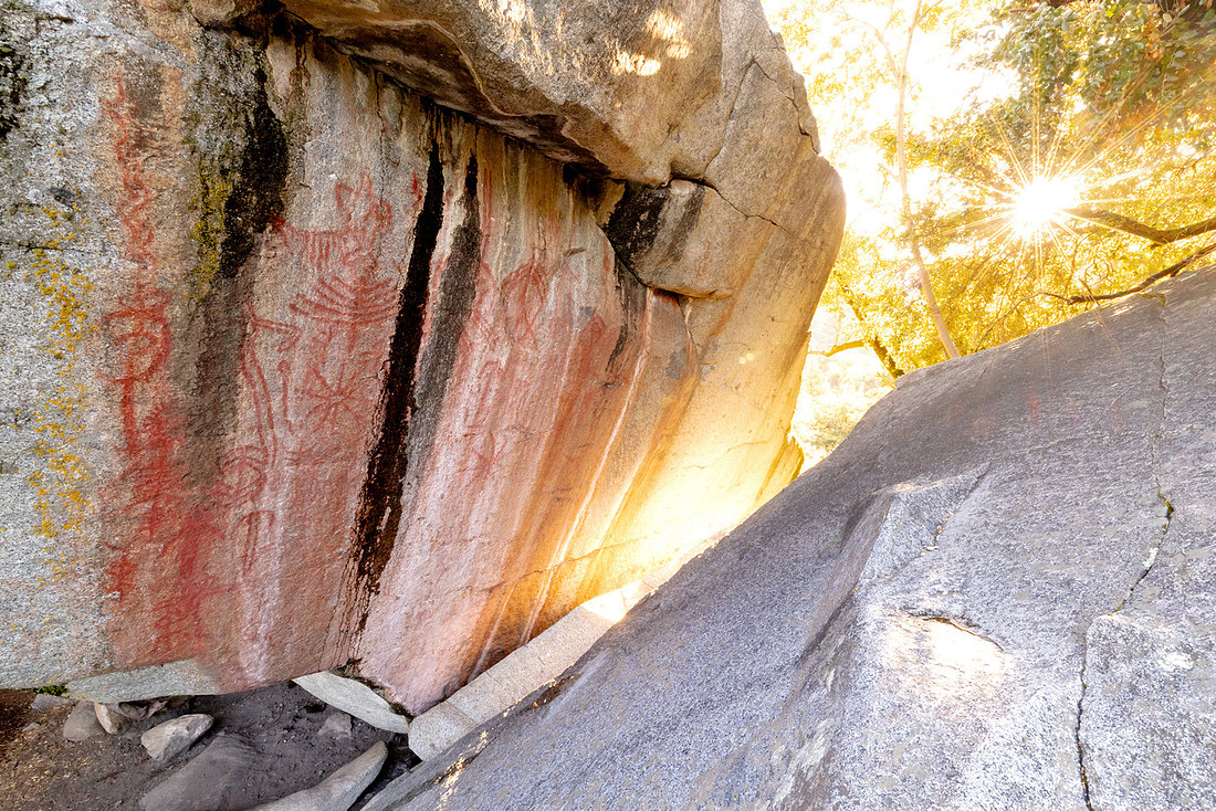
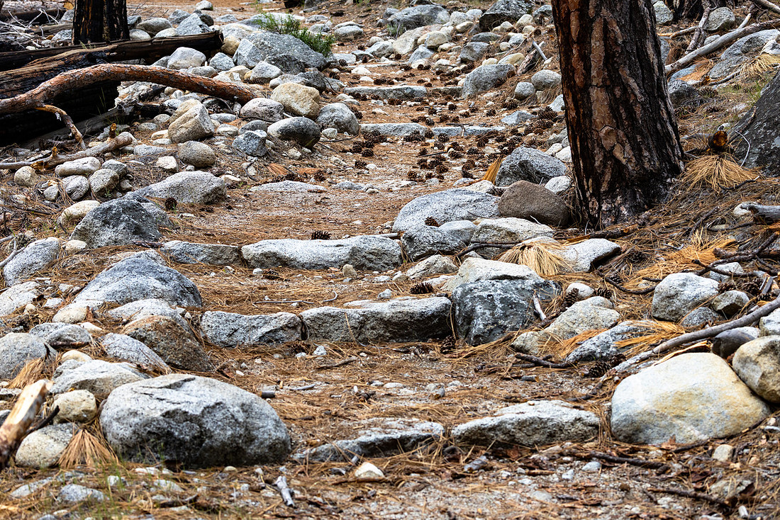
My favorite stop was at Hospital Rock. The trail down to the river featured some impressive stonework and ended at a stretch of river dominated by a massive boulder that looked to be about the size of a house sitting right in the middle of the water. The Hospital Rock pictographs were also a pleasant surprise and provided a glimpse into the long history of people living in and traveling through this area long before it became a national park.
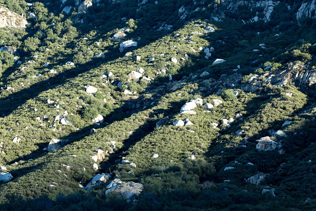
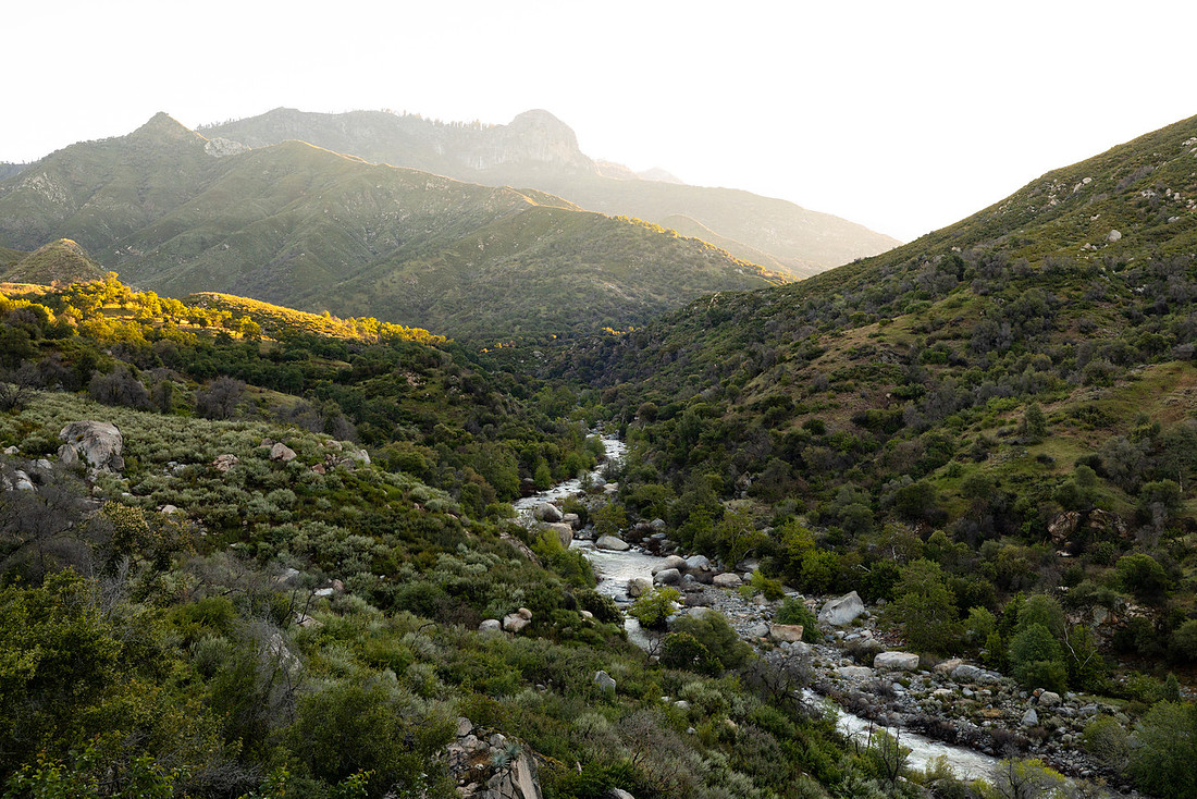
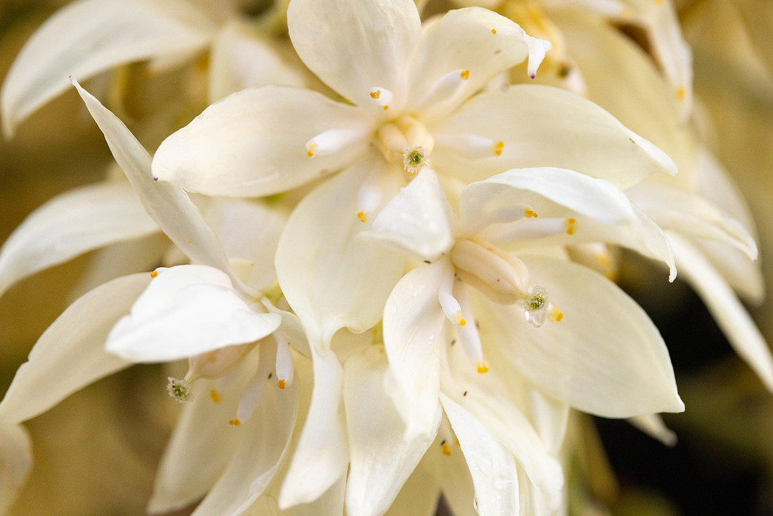
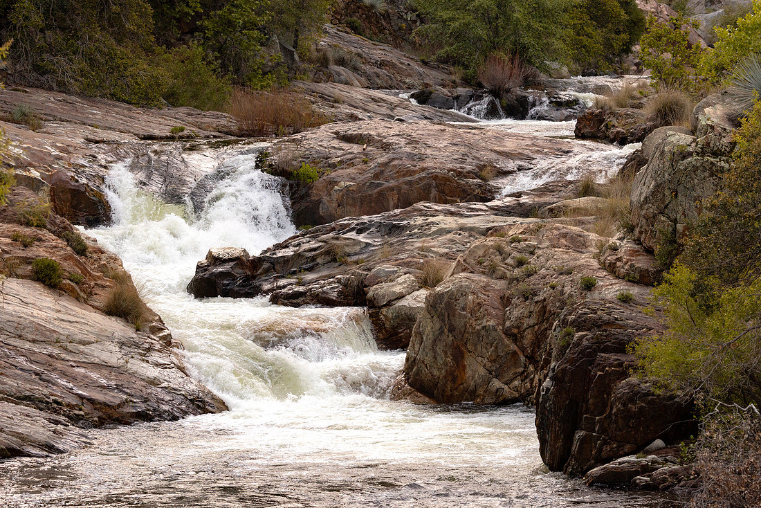
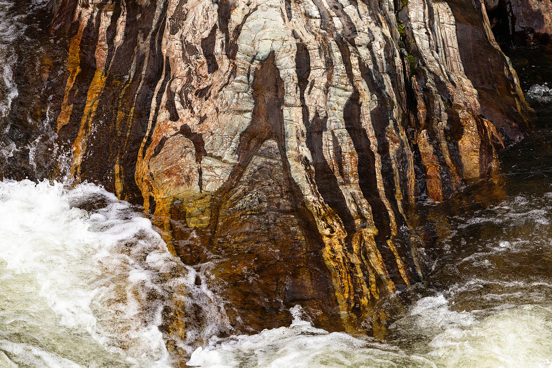
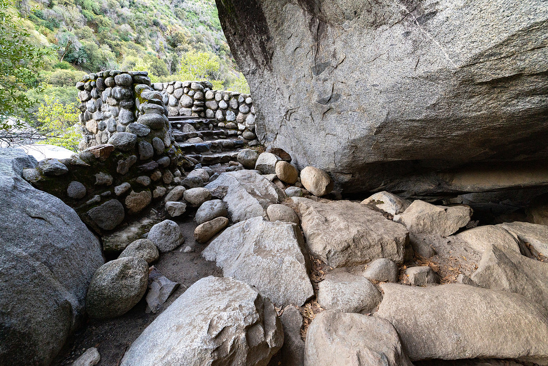
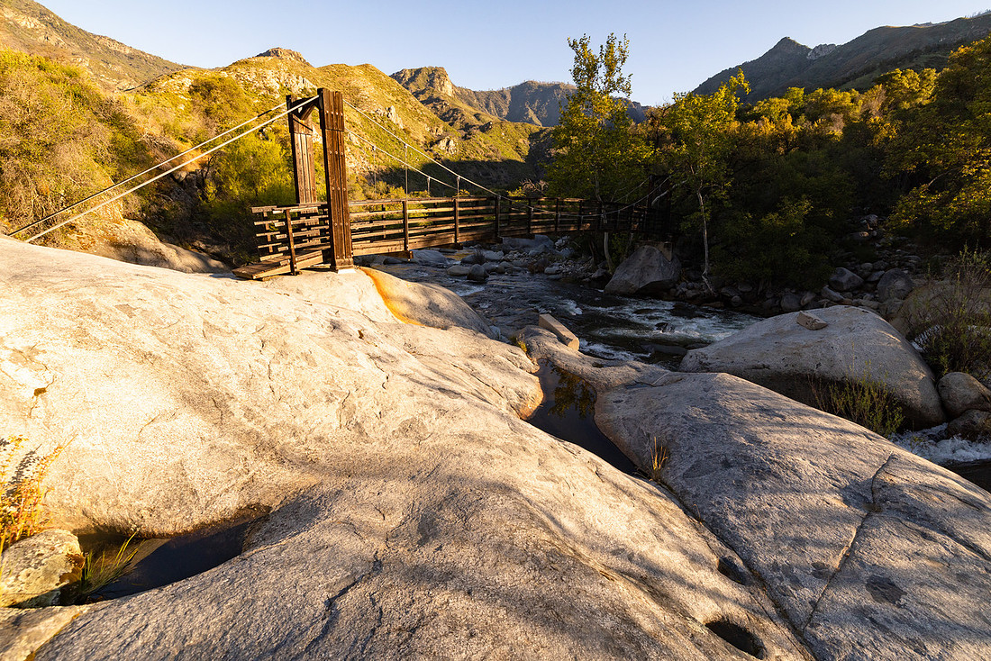
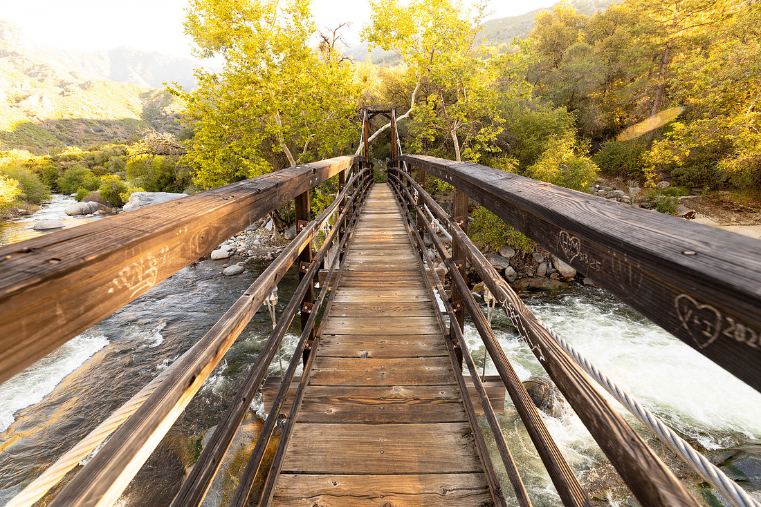
On my final morning before heading home, I was looking for a new place to explore. I noticed a trail leaving the Potwisha Day Use Area and decided to see where it went. The map showed it crossing the river, which seemed like a good enough reason to check it out.
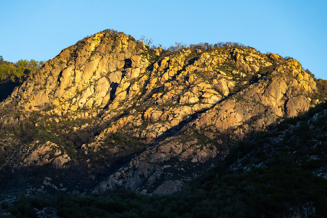
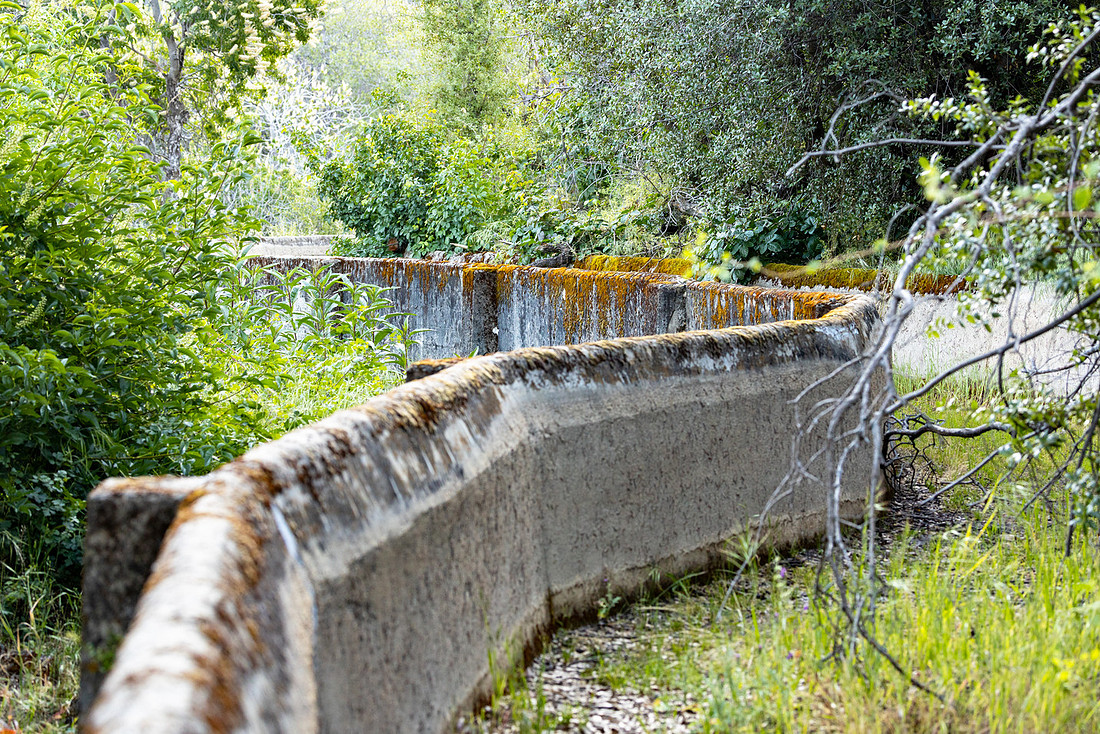
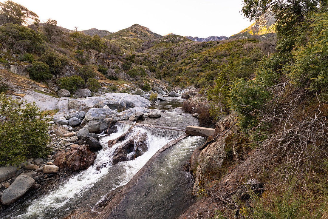
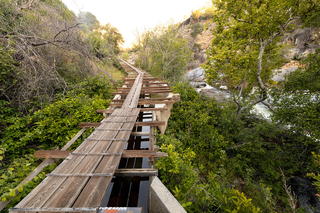
Not far from the trailhead I came across a bridge and a large water pipe descending from the hillside above. Curious where it went, I followed it uphill and eventually reached a concrete aqueduct. There was a faint social trail running alongside it, so I continued following it upstream. The route led through some interesting terrain and eventually reached the intake structure where water entered the system. Beyond that point the trail faded away, so I turned around and headed back. It wasn't a destination hike by any means, but it turned into exactly the kind of unexpected exploration that often becomes one of the more memorable parts of a trip.
When training ended early that afternoon, I started looking for one more adventure before the trip was over. Several park rangers mentioned that the road into Cedar Grove had just reopened for the season that weekend, so I decided to make the drive.
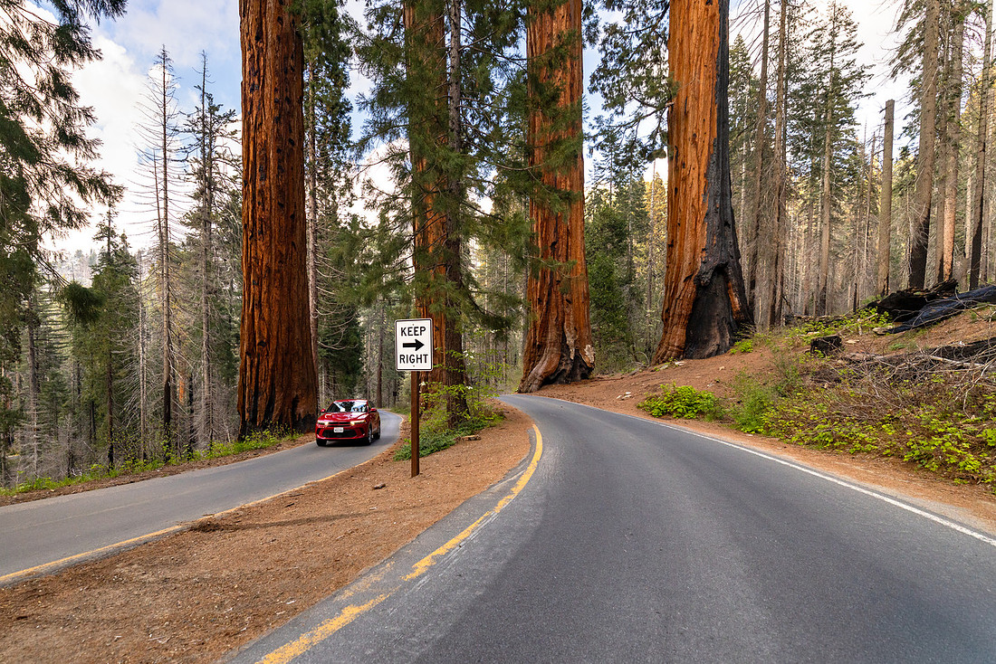
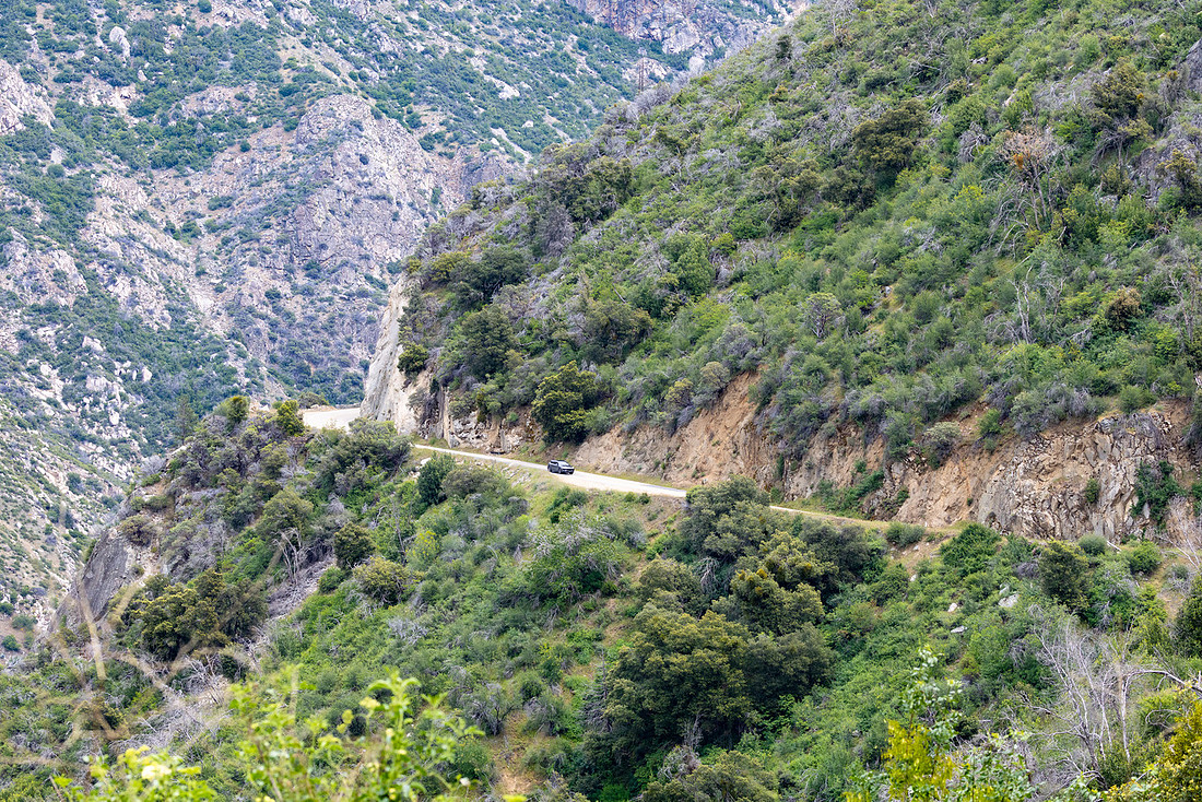
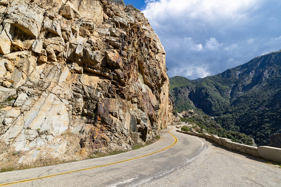
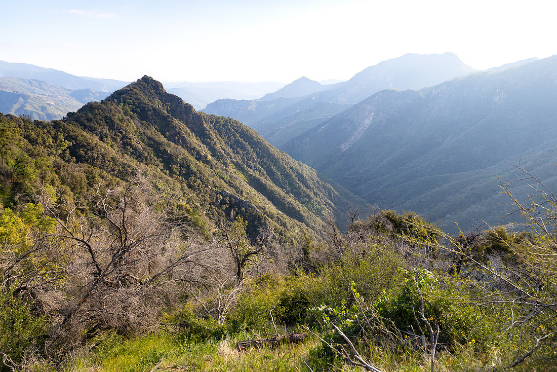
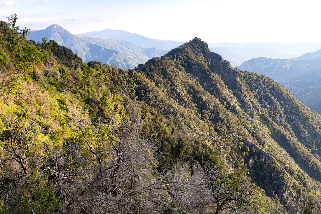
Getting there meant traveling the Generals Highway, which is an impressive road in its own right. Built through rugged mountain terrain in the early twentieth century, the highway connects Sequoia and Kings Canyon National Parks while climbing thousands of feet in elevation through a seemingly endless series of switchbacks and curves. Around nearly every corner there was another overlook, another giant sequoia grove, or another view stretching out across the Sierra Nevada.
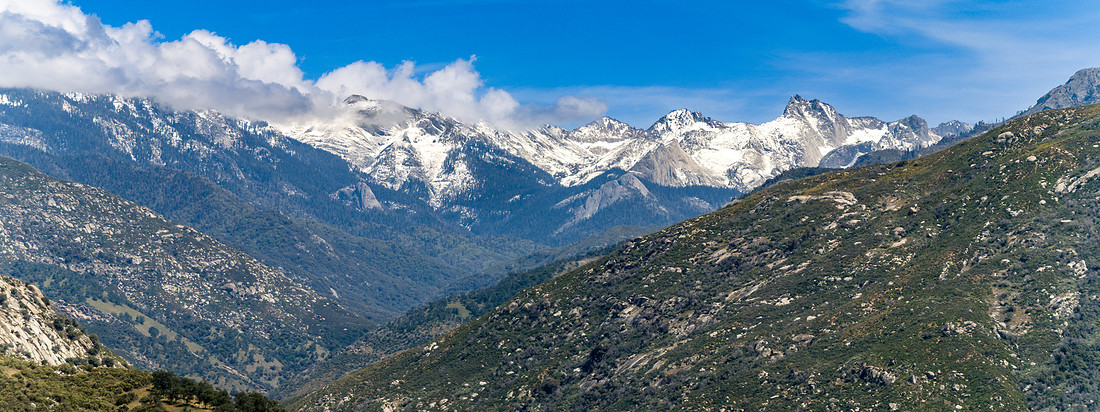
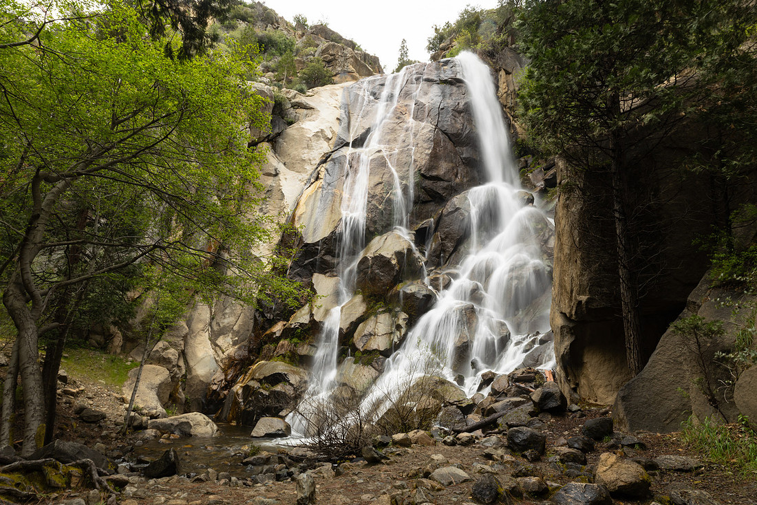
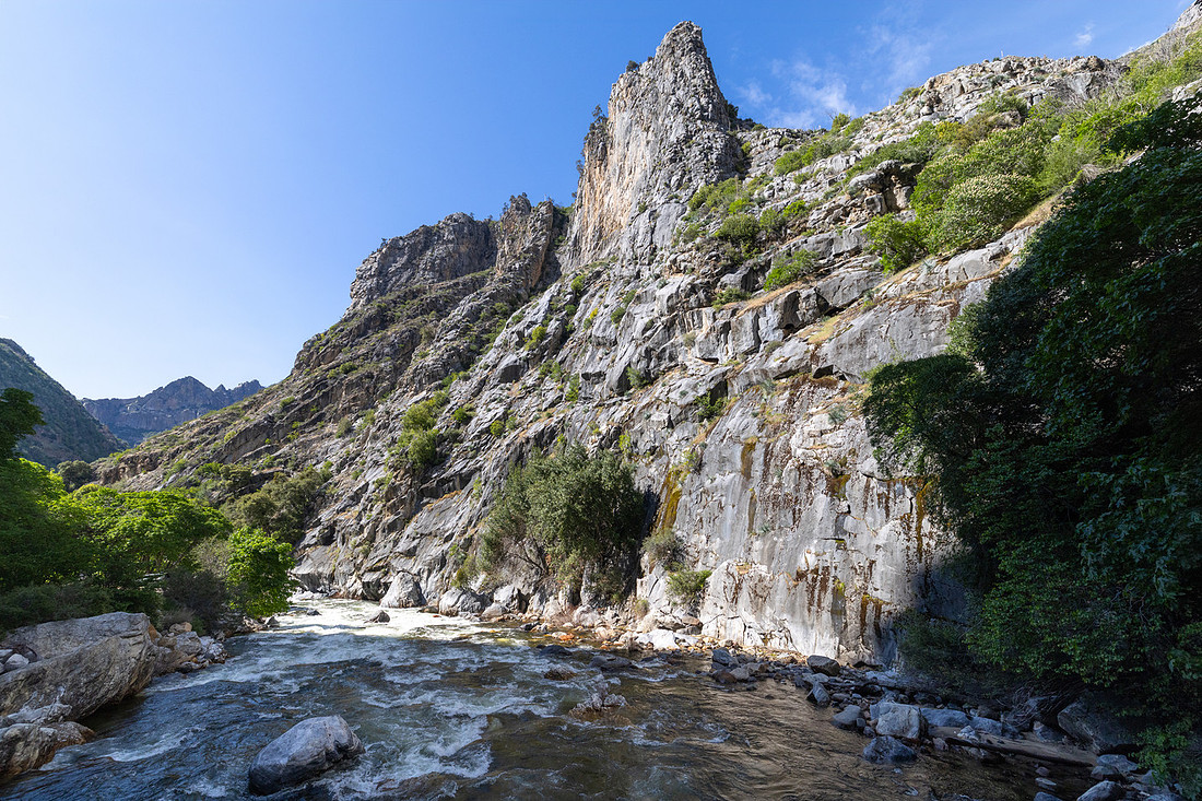
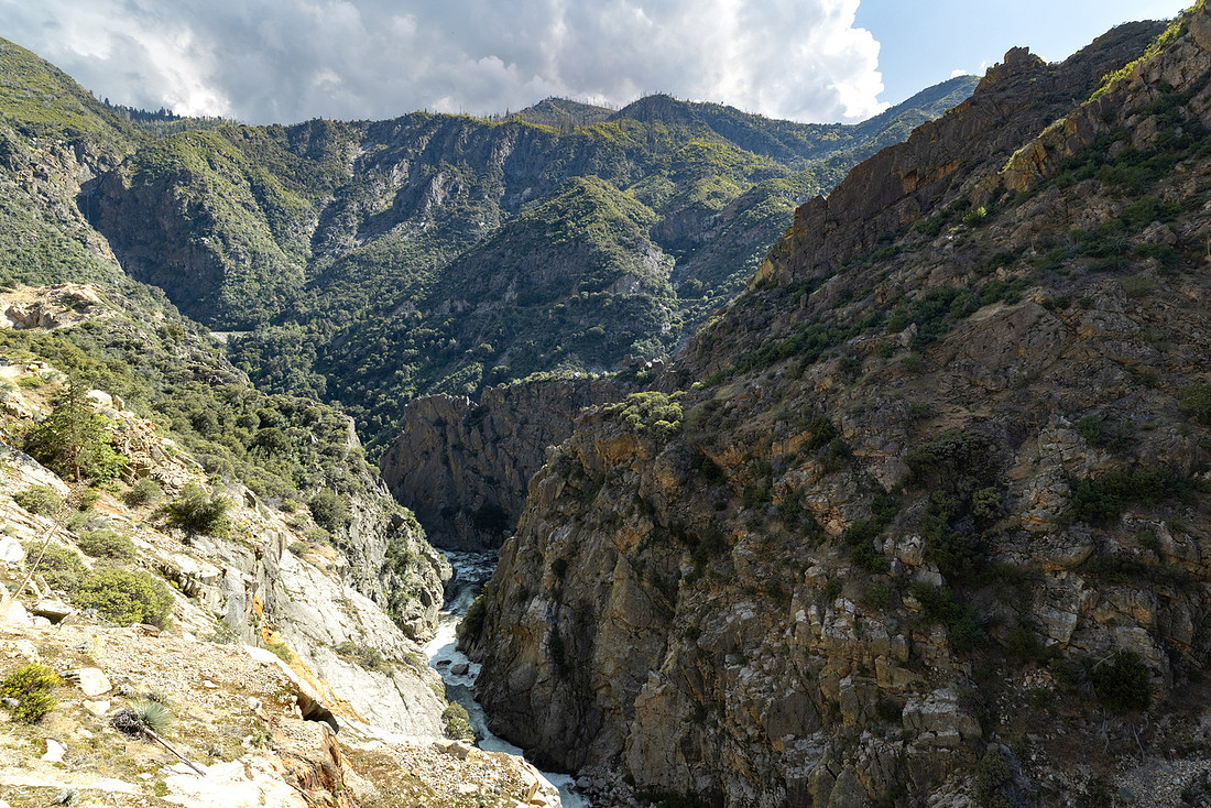
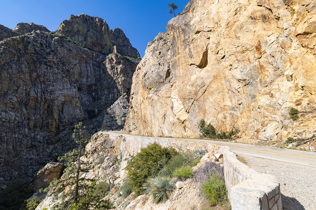
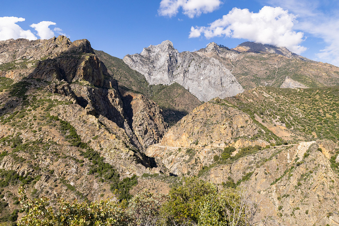
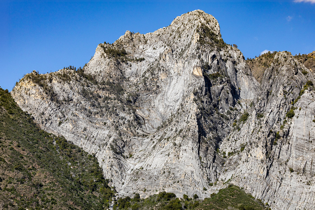
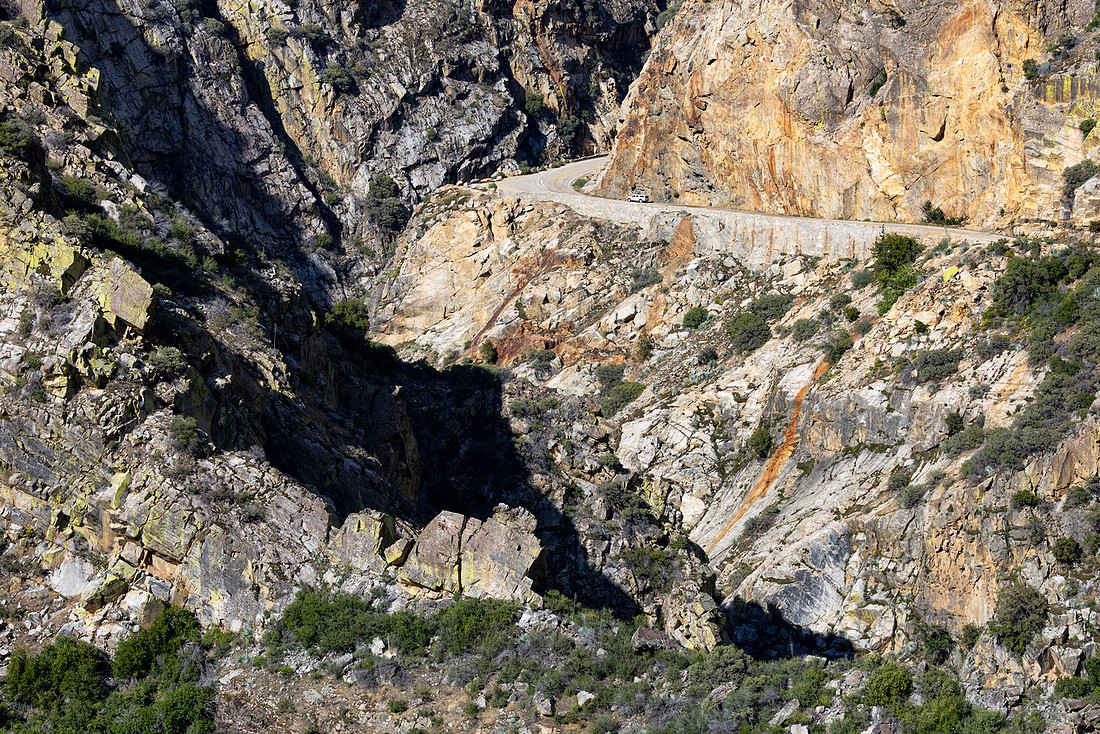
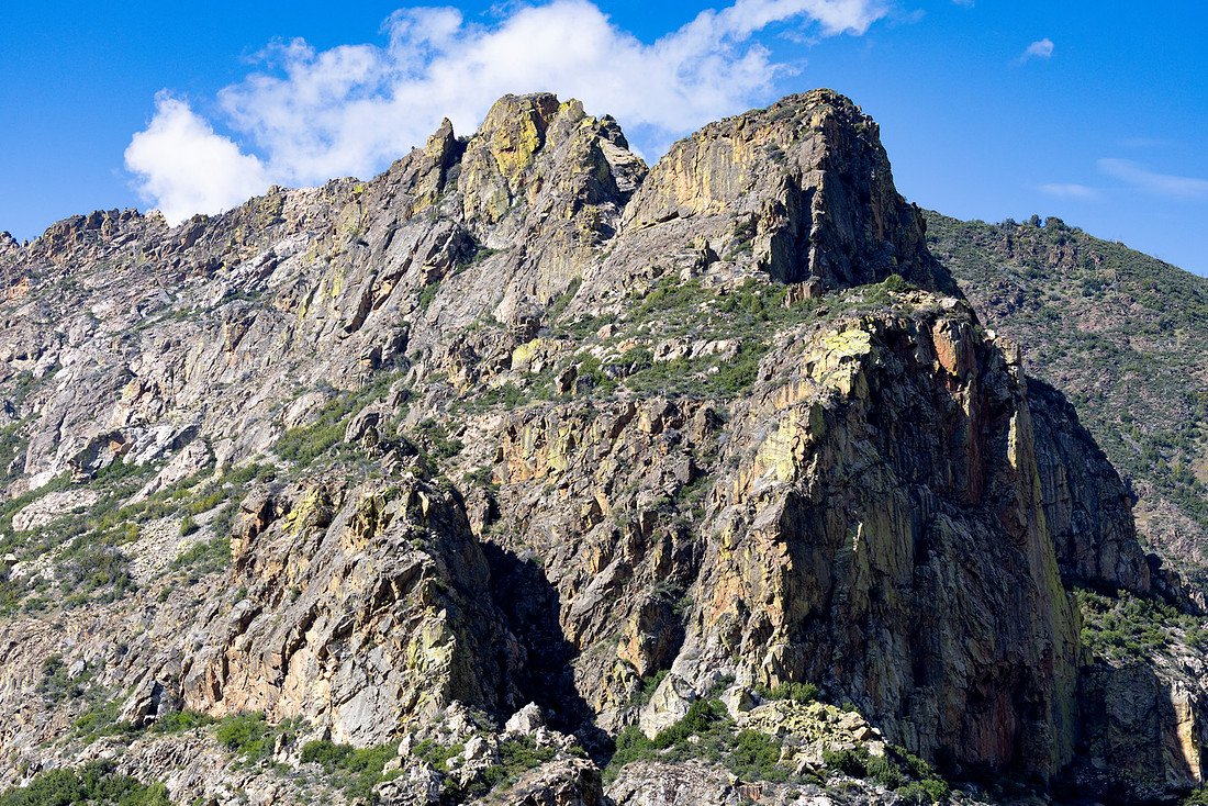
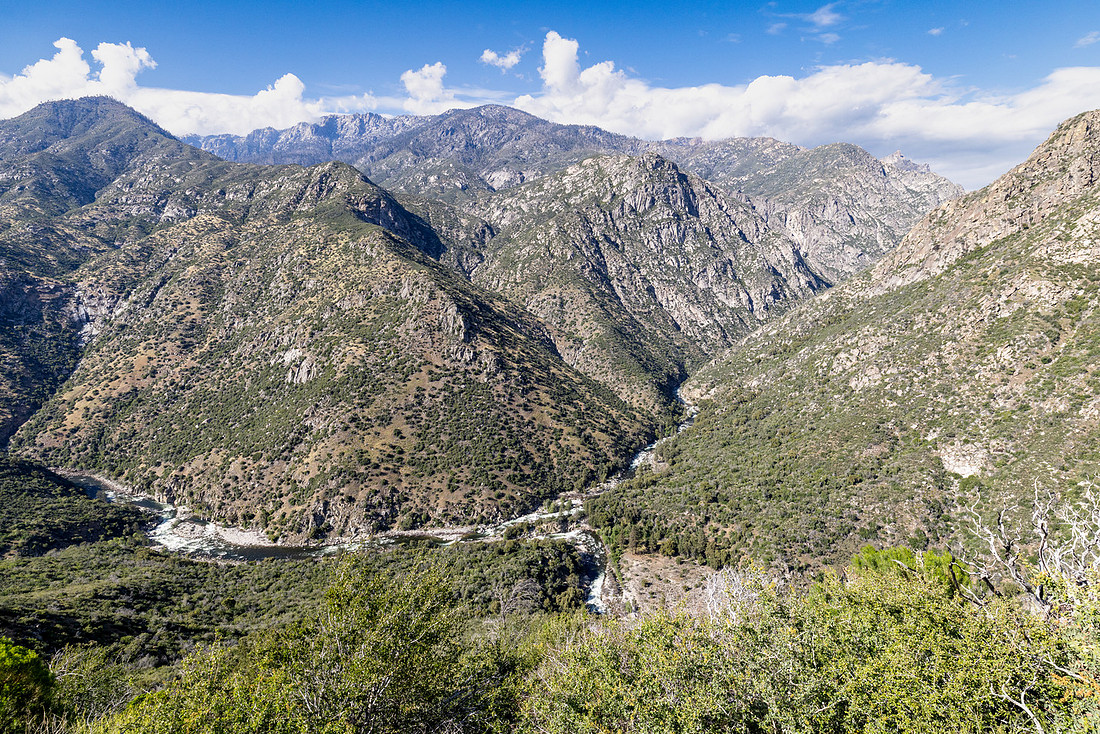
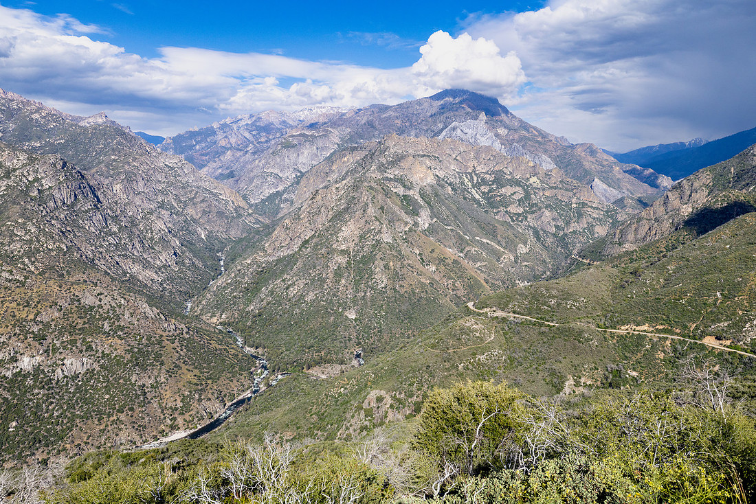
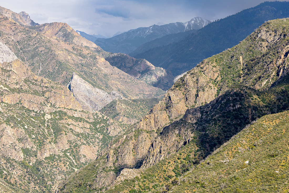
The weather wasn’t ideal, but the scenery along Highway 180 more than made up for it. The road follows the Kings River through one of the deepest river canyons in North America, with granite walls rising thousands of feet above the valley floor. Eventually the route passes the confluence of the Middle and South Forks of the Kings River before continuing up the South Fork toward Cedar Grove. One of the highlights along the drive was a stop at Grizzly Falls, where water plunges down a smooth granite face just steps from the road.
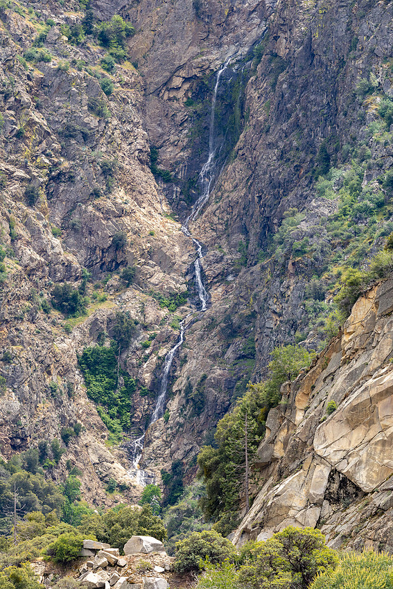
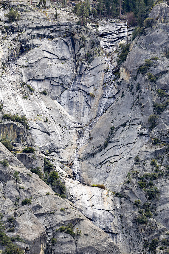
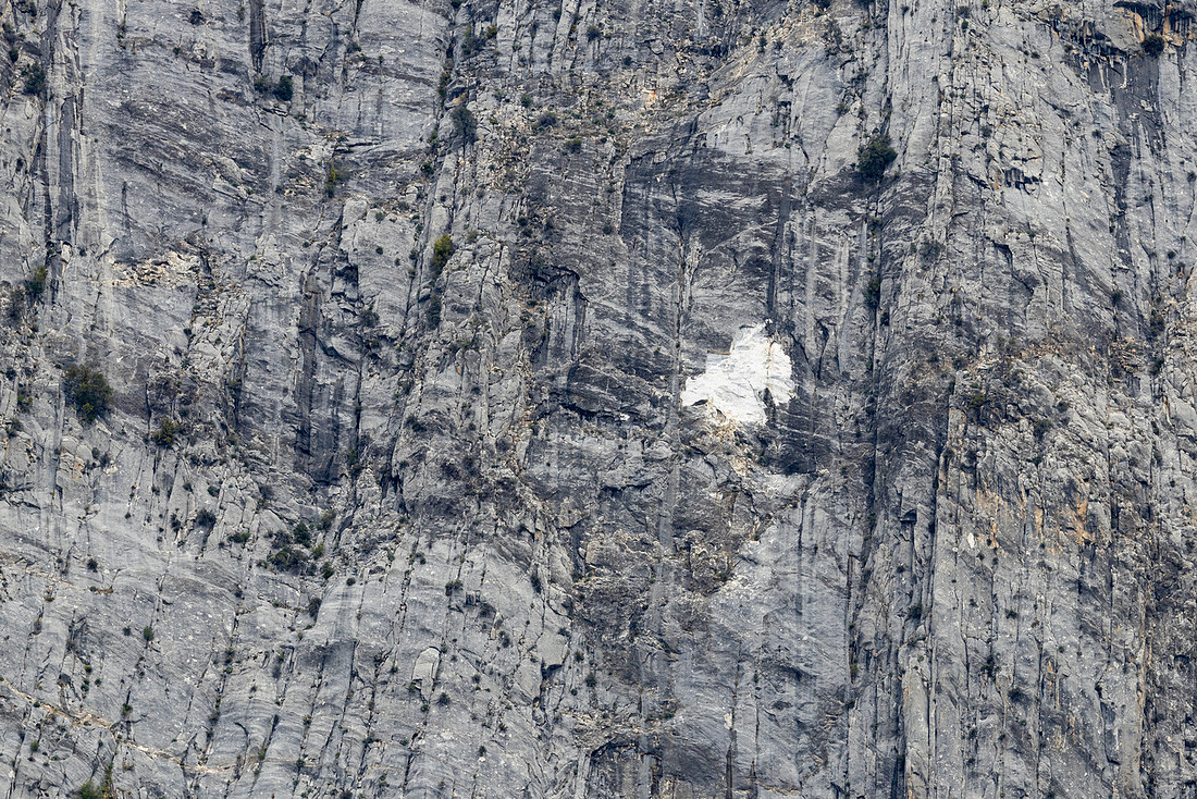
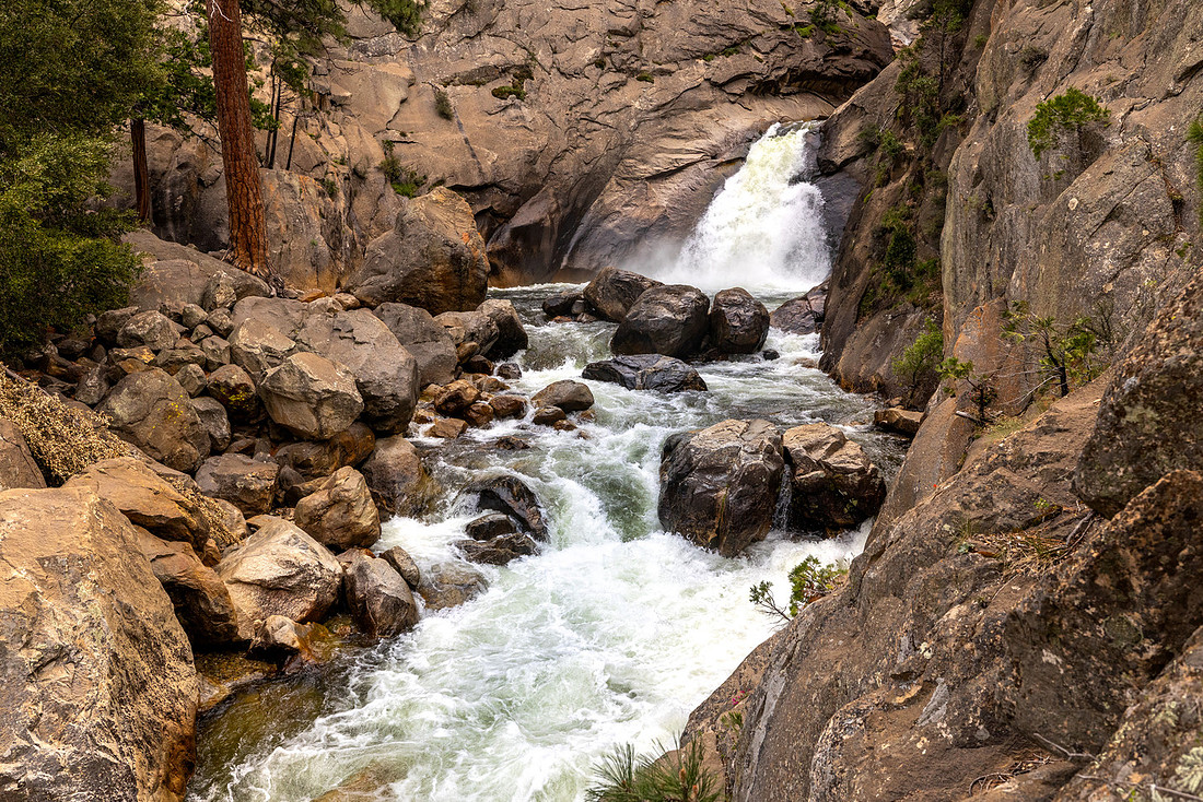
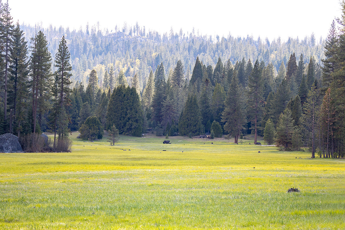
The Cedar Grove area felt like a quieter version of Yosemite Valley. Towering granite walls rise above the river, waterfalls spill down the cliffs, and yet there were very few people around. At the end of the road, I took a short hike to stretch my legs and visited Roaring River Falls before beginning the roughly three-hour drive back.
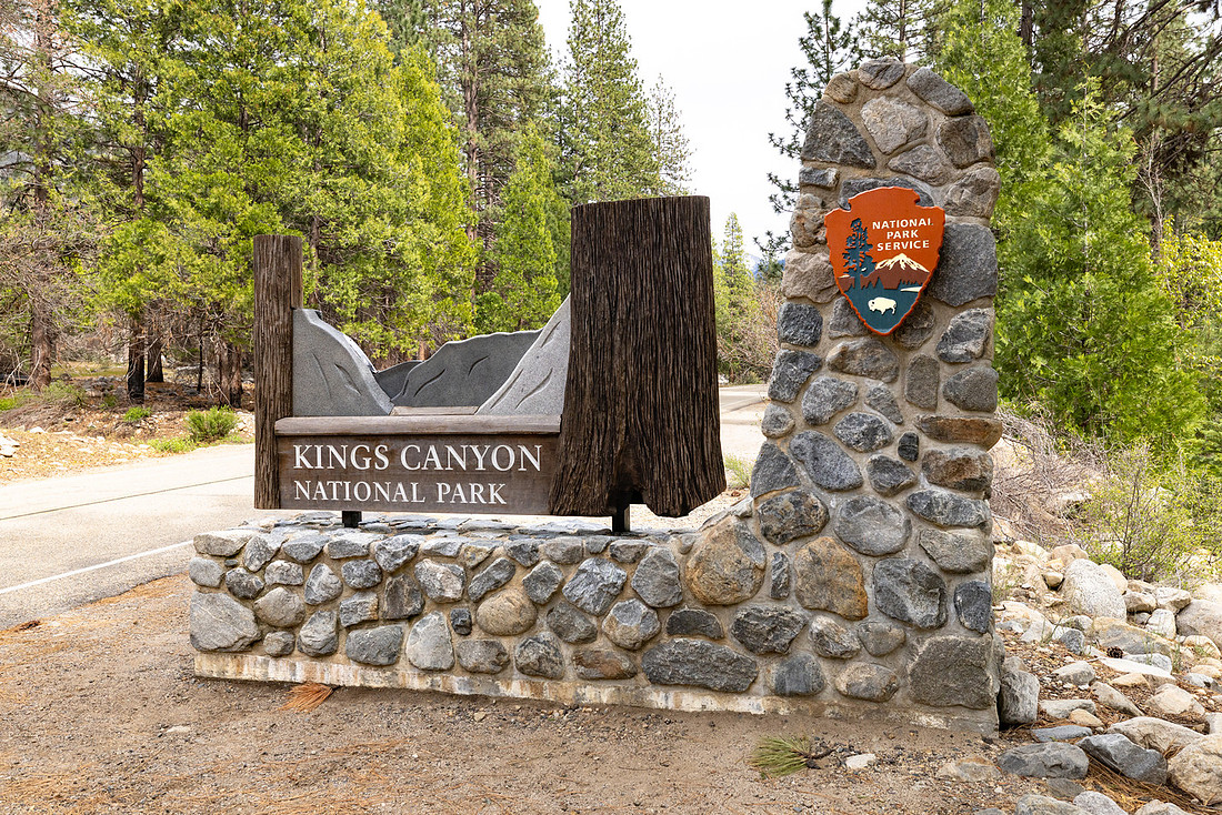
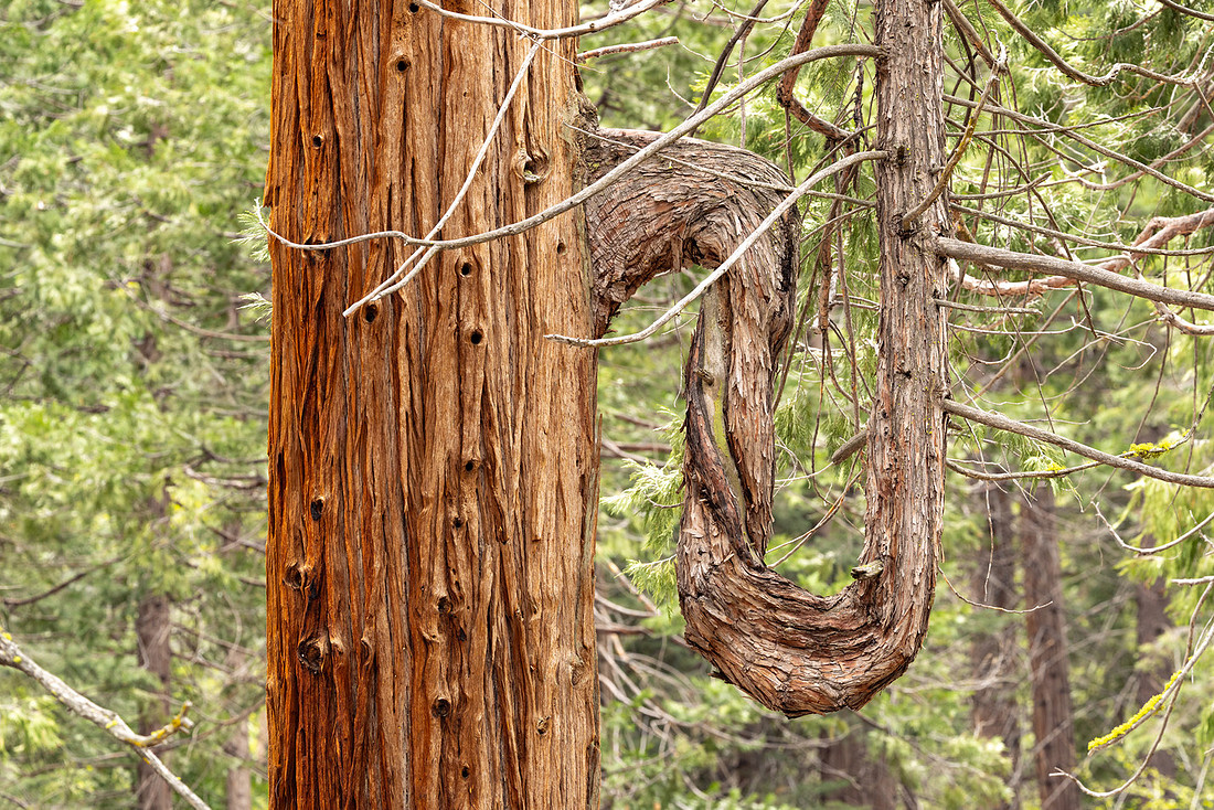
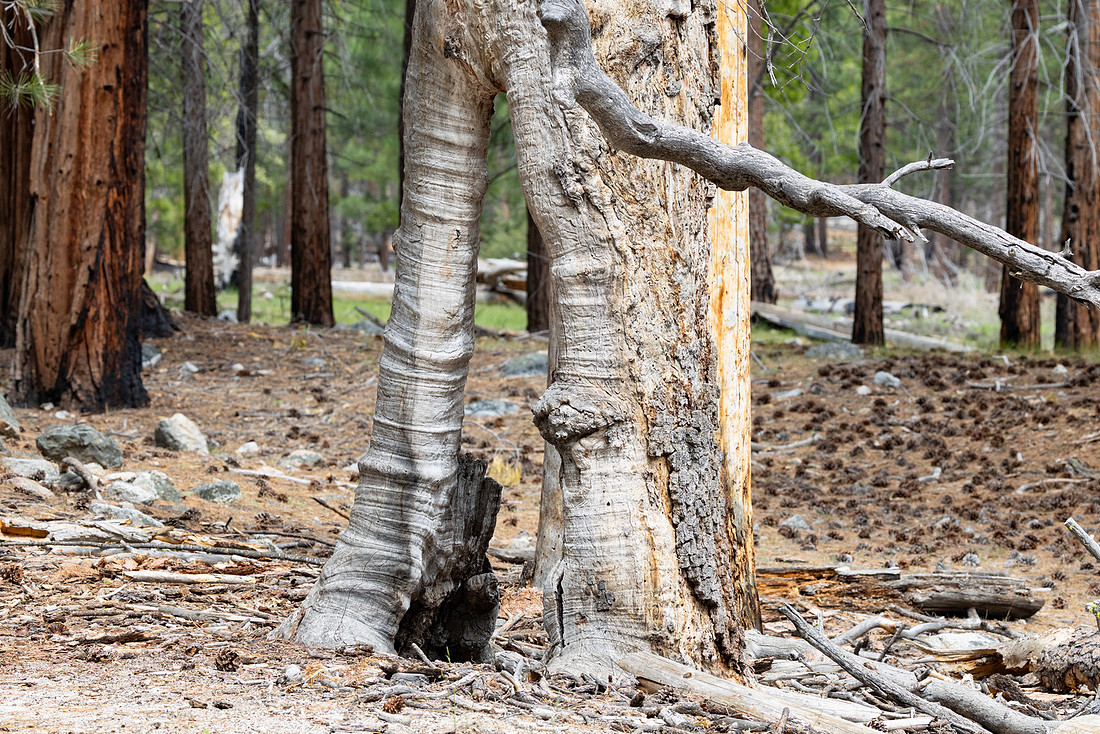
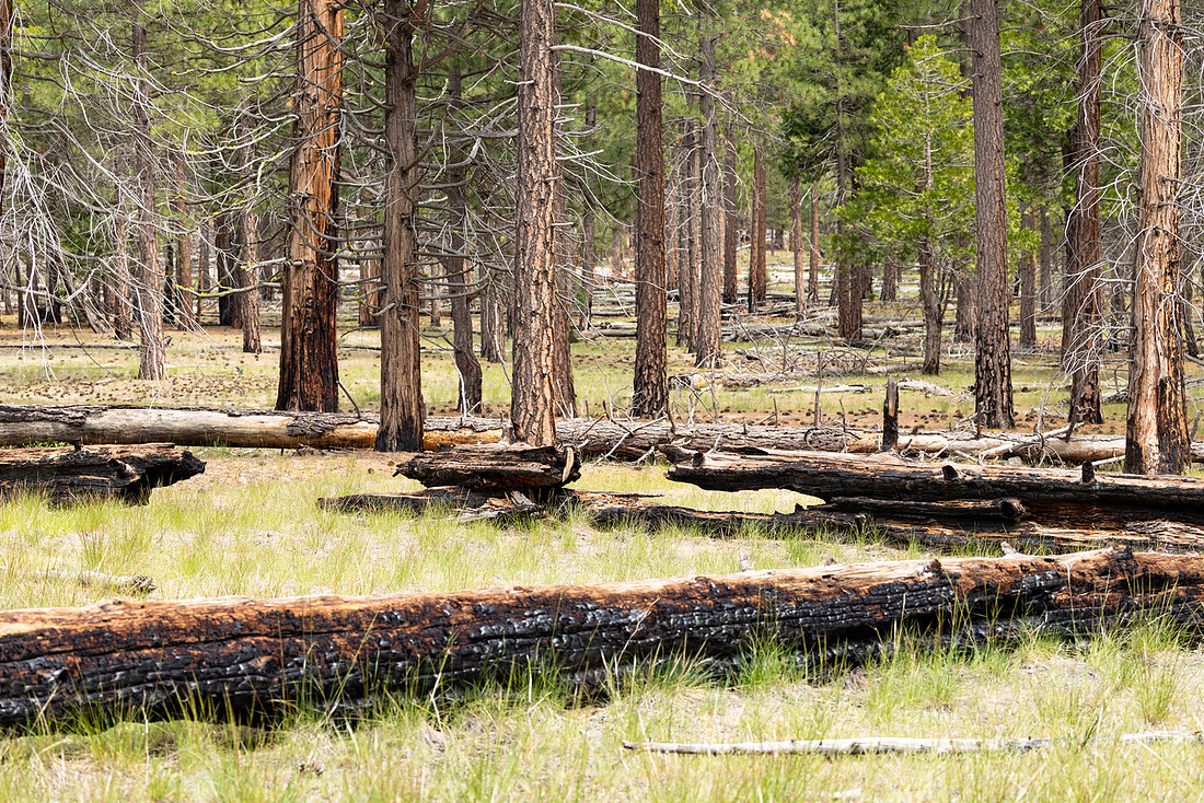
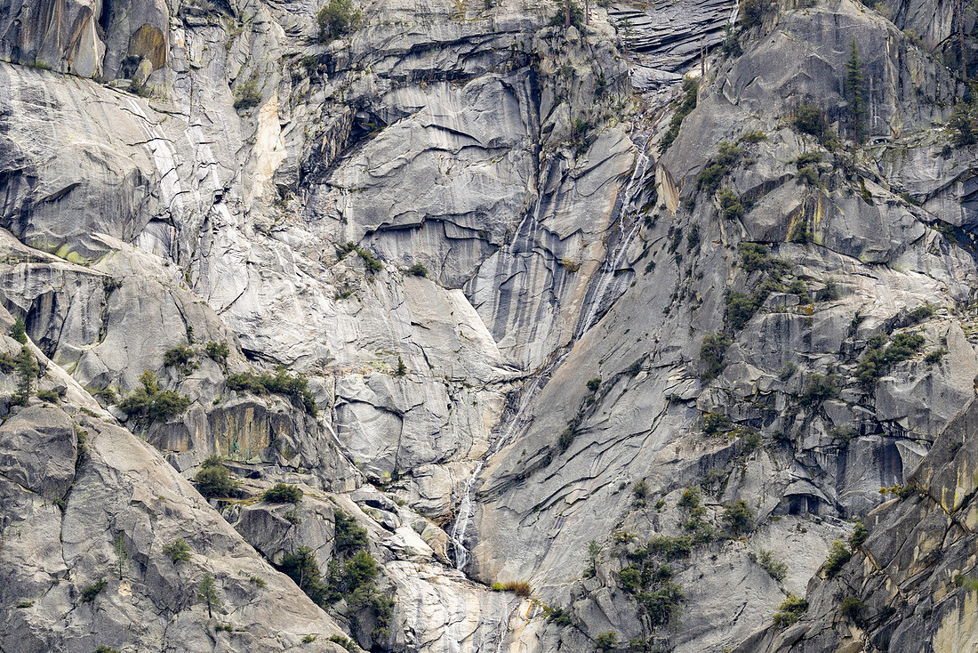
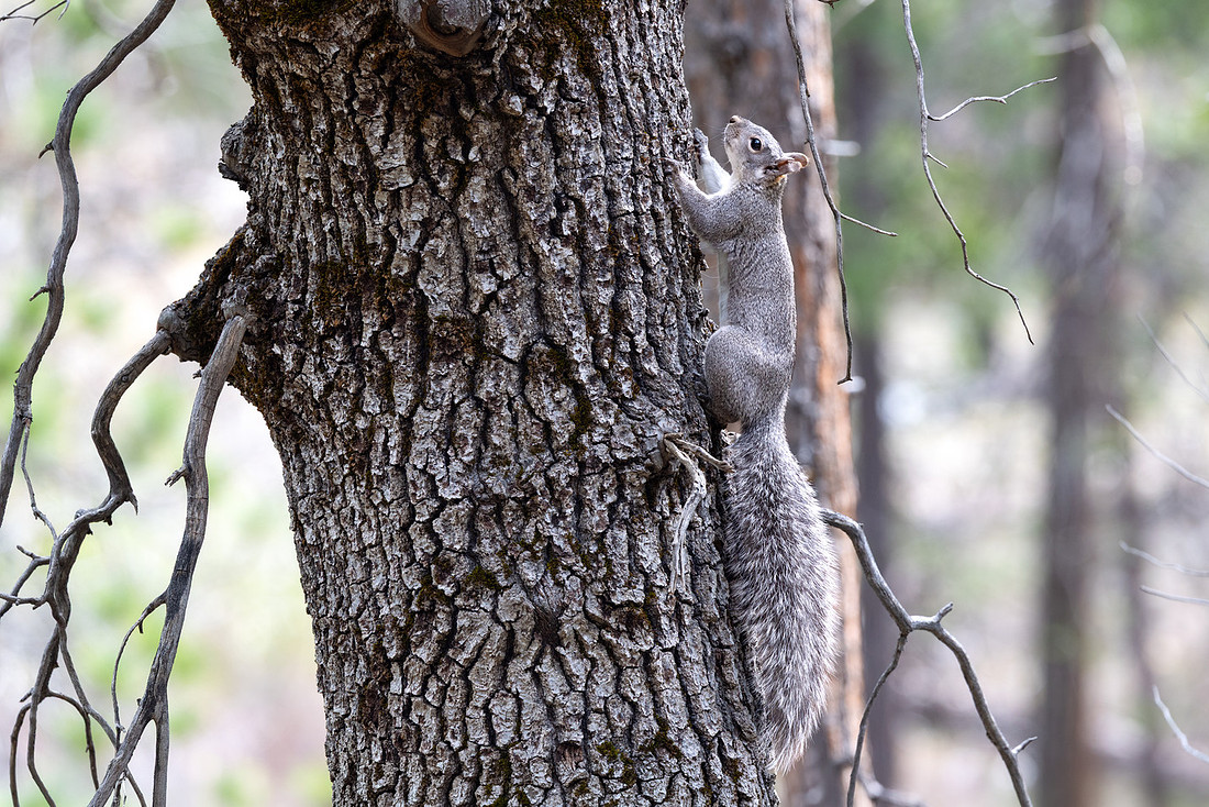
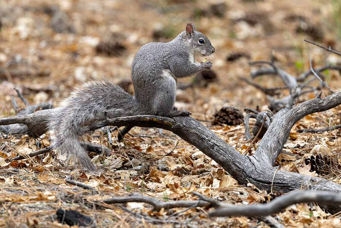
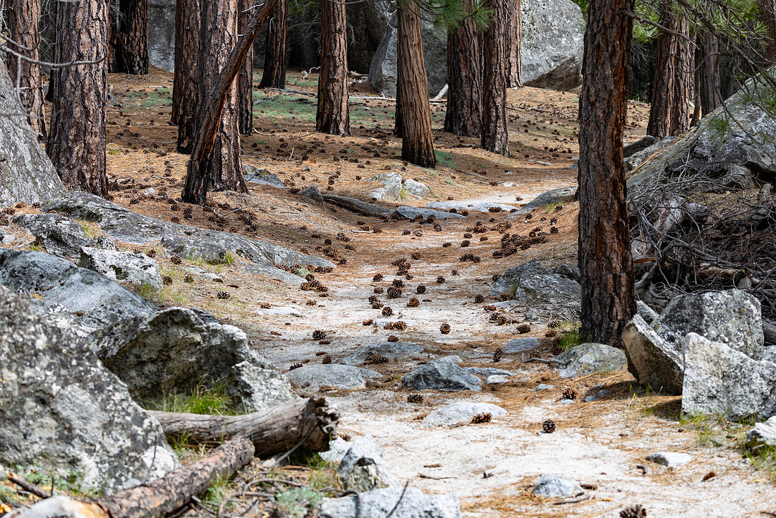
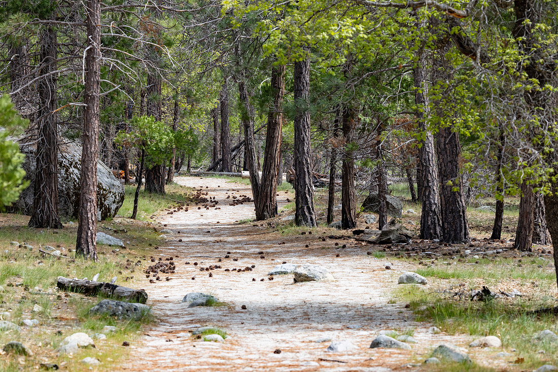
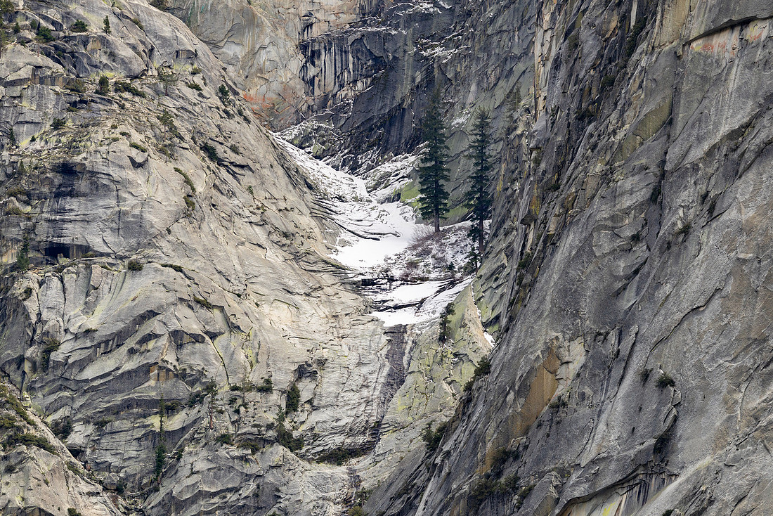
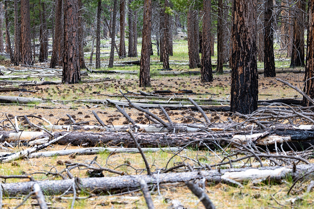
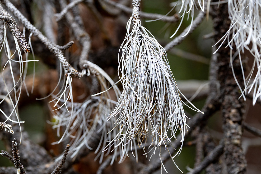
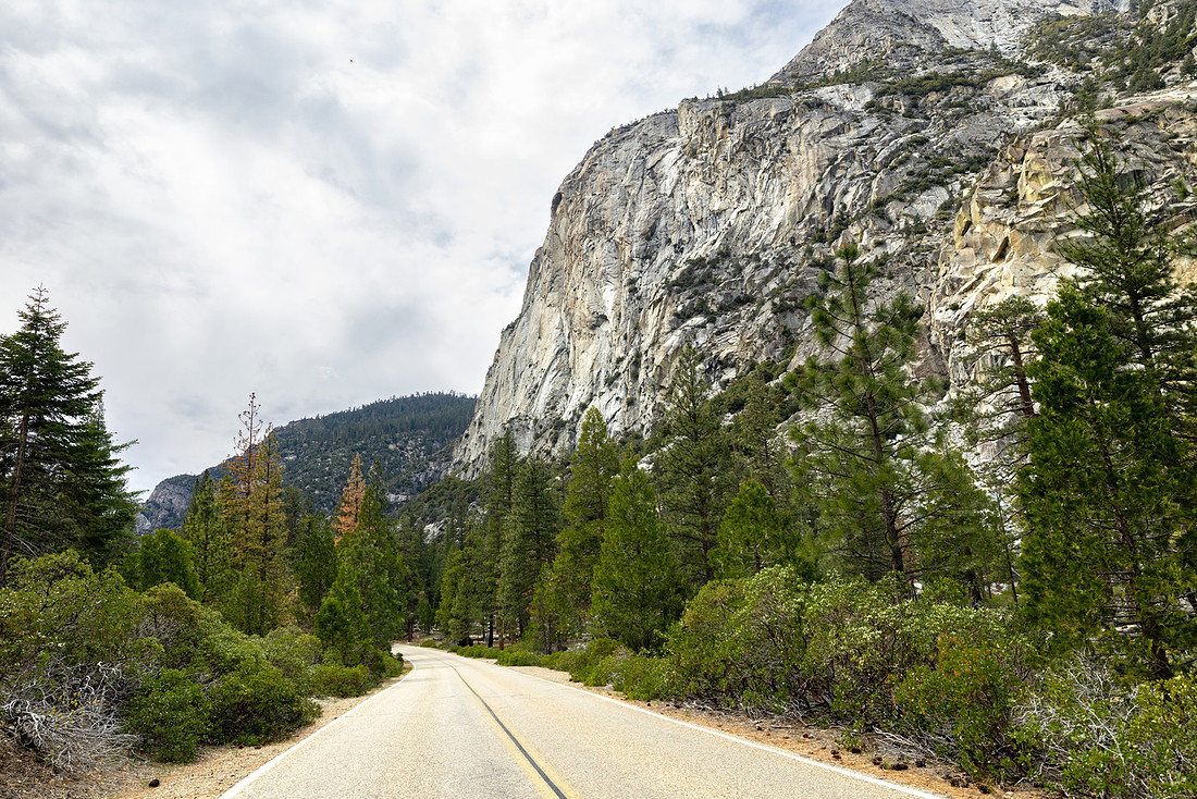
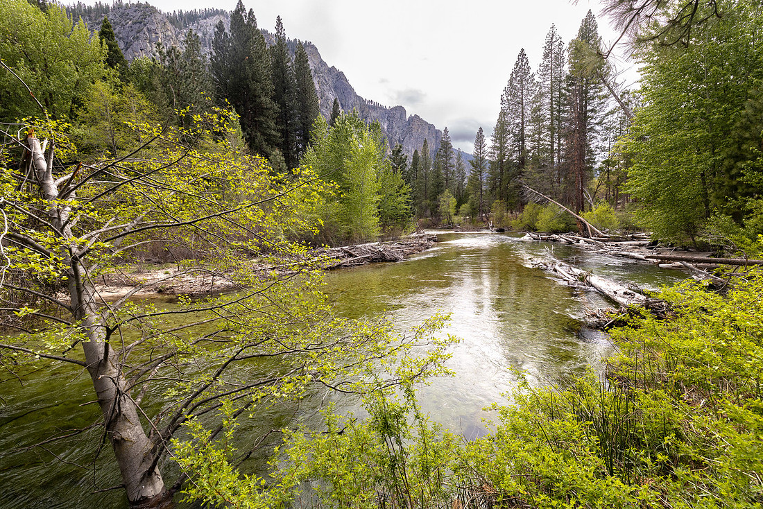
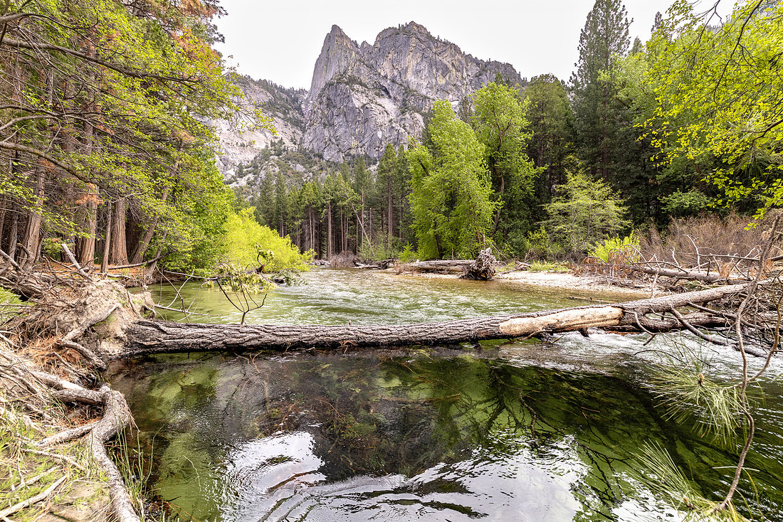
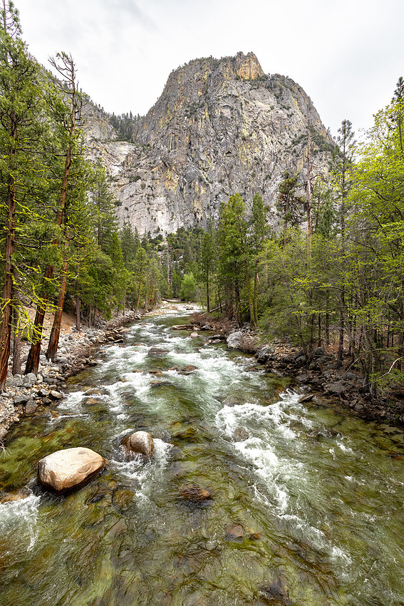
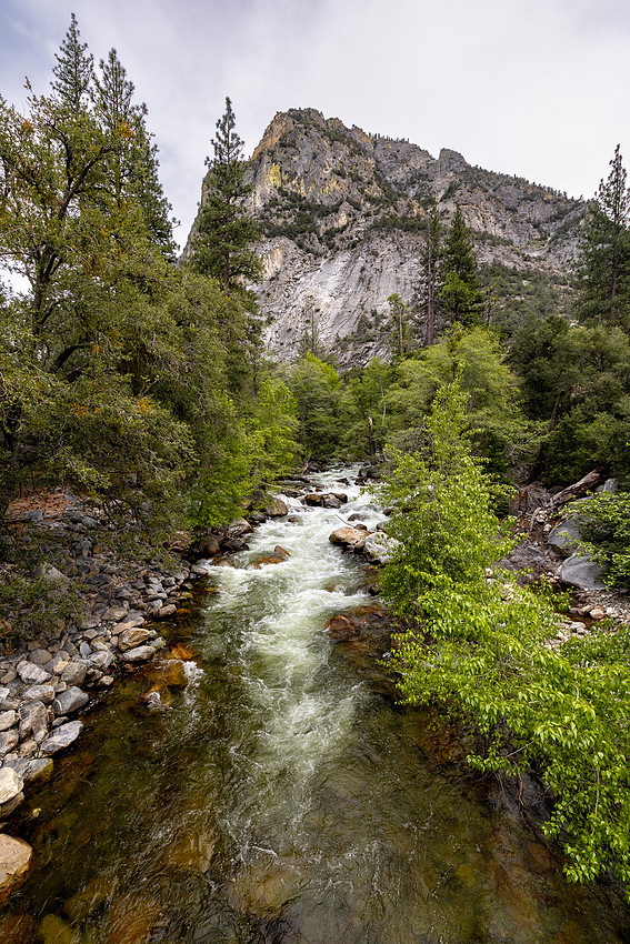
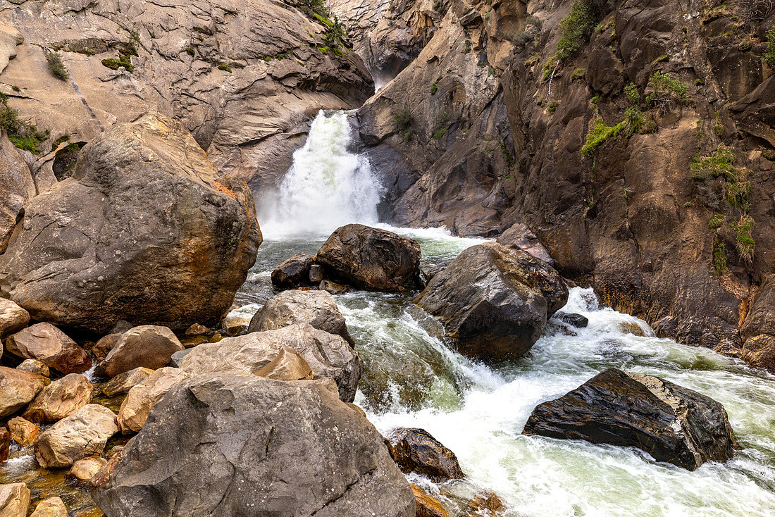
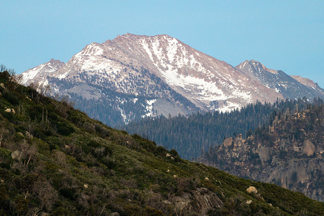
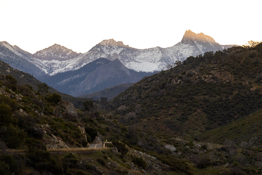
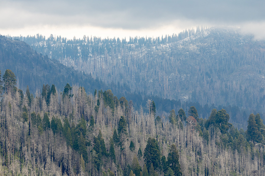
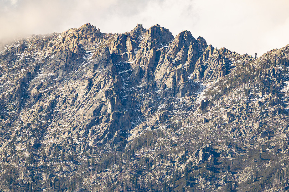
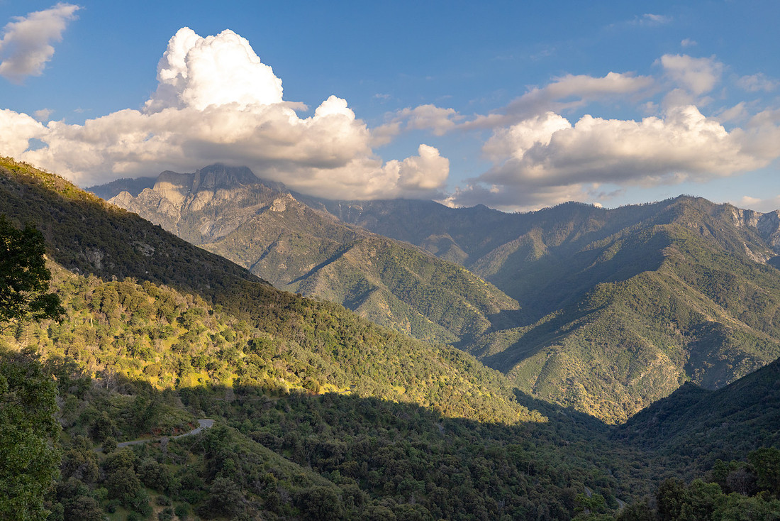
Fortunately, the weather improved on the return trip. The sun finally broke through the clouds, lighting up the canyon walls and bringing out the deep greens of the pines and the bright white of the lingering snow at higher elevations. I found myself stopping frequently to take in views that had been hidden earlier in the day.
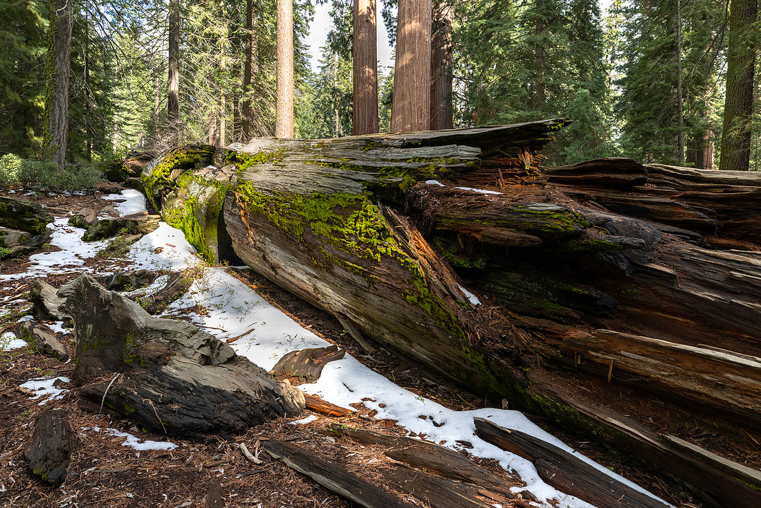
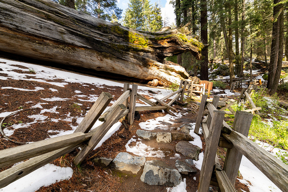
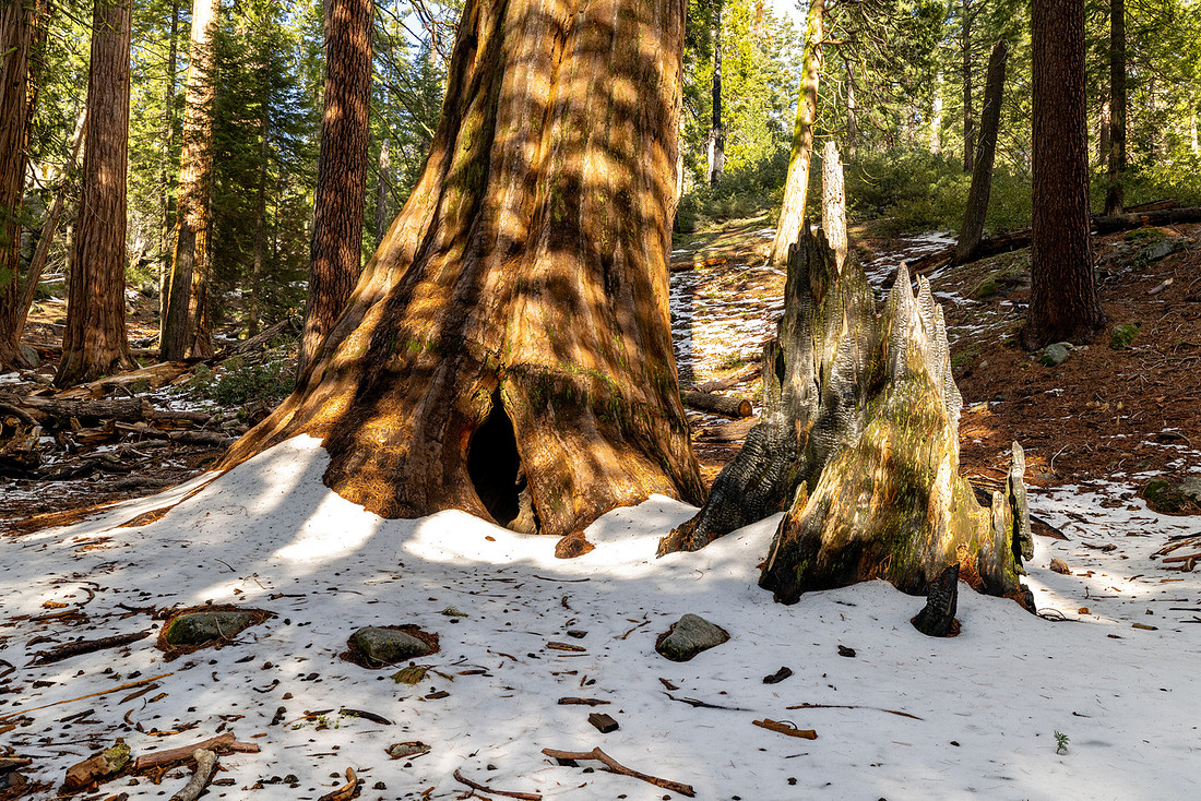
I also made a quick stop at Grant Grove, where patches of snow from the recent storm still covered the ground beneath the giant sequoias. The contrast between fresh snow and some of the largest and oldest trees on Earth made for a pretty memorable scene.
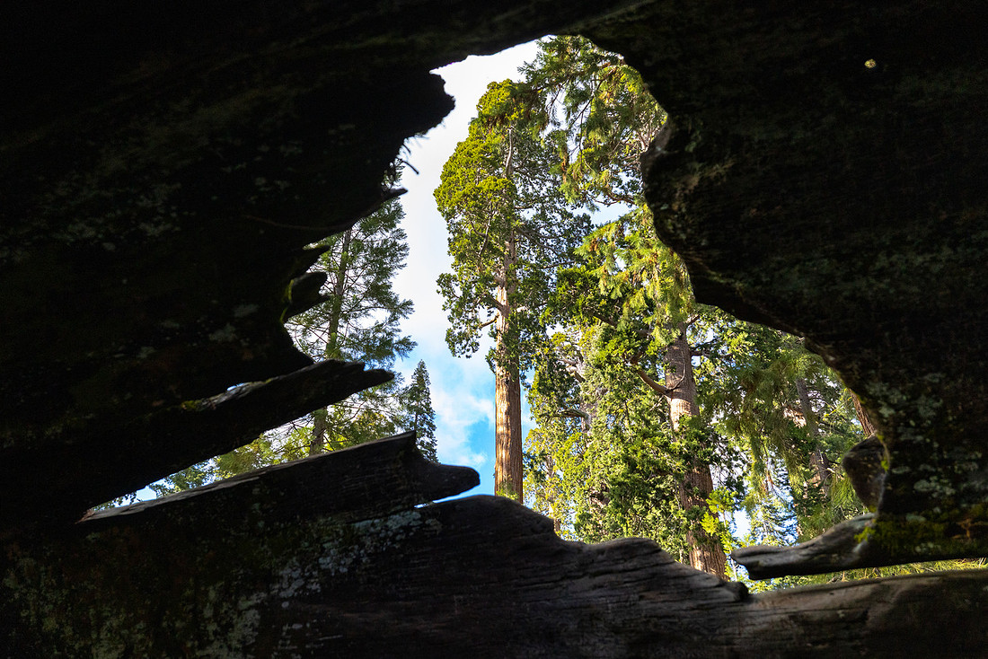
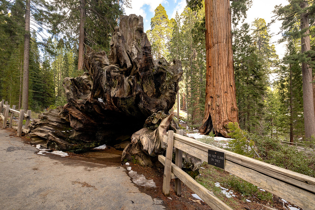
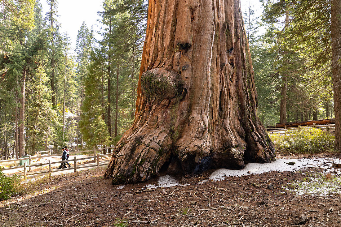
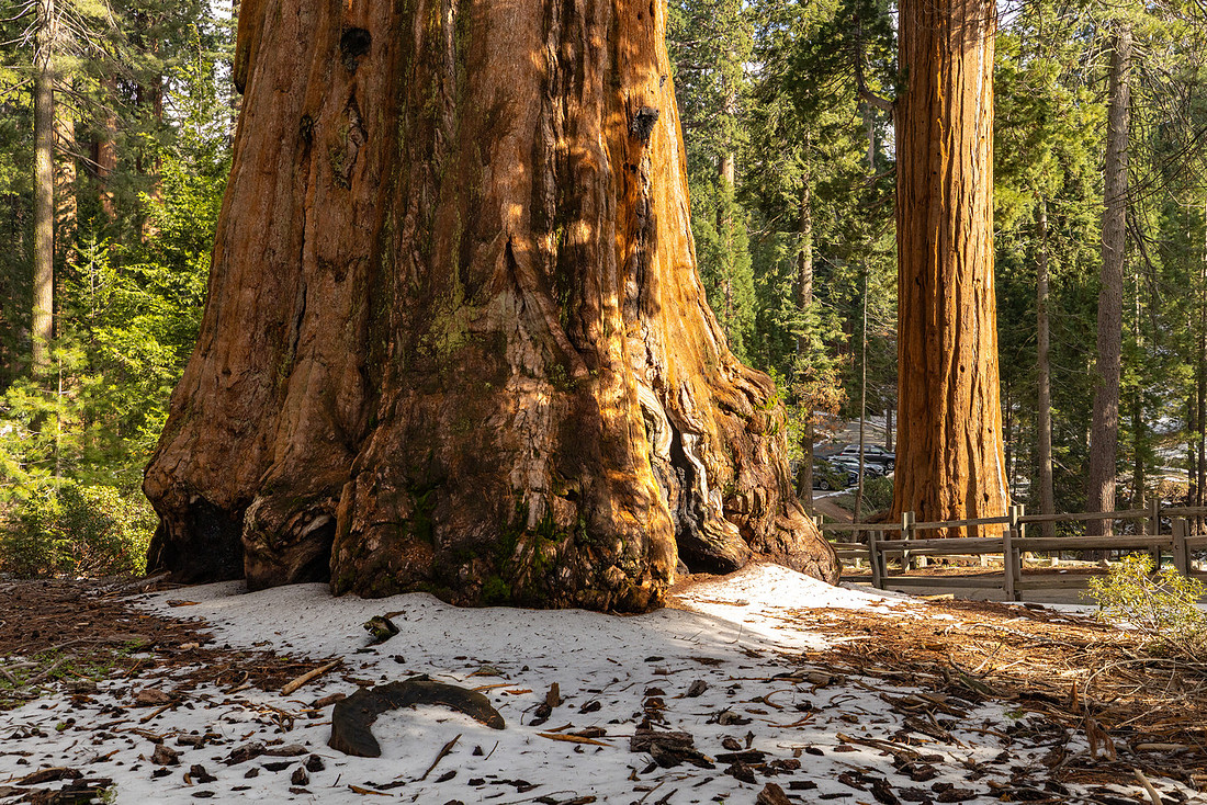
I had hoped to finish the trip with sunset from Moro Rock, but by that point I was pretty well exhausted. Instead, I took my time driving back and enjoyed the scenery from the numerous overlooks along the road. Sometimes that's enough.
Overall, it was a great trip. I knew going in that this would mostly be a reconnaissance mission, but it gave me a much better understanding of the parks and the surrounding landscape. After spending a few days exploring, I’m convinced that a longer backcountry trip in the area would be well worth the effort. Between the giant sequoia groves, deep river canyons, high-country terrain, and seemingly endless trail network, it feels like a place that rewards repeated visits.
If you’ve spent time in Sequoia or Kings Canyon, let me know what trails or areas I should add to the list for a future trip. I have a feeling I’ll be back.
