Glacier: The Northern Traverse
The Northern Traverse has been on my wish list for years. I’ve pieced together sections of it on other trips (Kintla to Bowman & Cosley Lake), but never managed the full journey in one go. When we scored mid-week reservations at Sperry Chalet, it felt like the stars had finally aligned. We tossed our names into the backcountry permit lottery too—three of us applying, each with a different shot. My name didn’t make the cut, Jen pulled a late time slot, and Corrie landed an early one. Against the odds, the trip started to look possible.
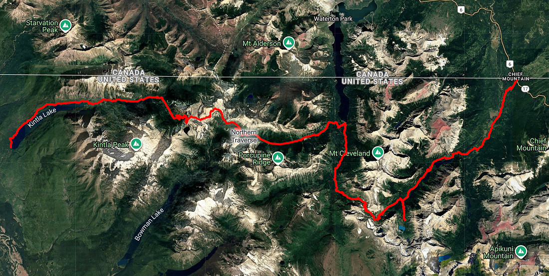
At first our itinerary was messy—two long hauls broken up by two forced layover days. While we were at Sperry the night before, Jen swung by the permit office to see if there was any chance of tweaking it. Miraculously, she pulled it off. The final route stretched clear across Glacier National Park: Belly River Trailhead → Glenns Lake Foot → Mokowanis Junction → Stoney Indian Lake → Waterton River → Brown Pass → Upper Kintla → Kintla → Kintla Trailhead.
Heading into this trip, I wasn’t in the best headspace. A lingering injury had been hanging over me, and I wasn’t sure my body would hold up. A few days earlier I tested things on the hike to Sperry Glacier. It hurt, but not enough to back out.
We tossed around the idea of bringing my passport so I could exit early at Goat Haunt if needed—but when I grabbed it, I realized it had expired months ago. That meant no backup plan. If I couldn’t make it, I’d need to bail early, before we crossed the point of no return.
We met at 6 a.m., crammed into one car, and drove the two-plus hours to the Belly River Trailhead on Glacier’s northeast side. Any excuse to cross the Going-to-the-Sun Road is a gift, and that morning didn’t disappoint. After a coffee stop in St. Mary, we rolled up to the trailhead, shuffled gear, taped up my foot, and shouldered the heaviest packs I’ve ever carried.
Eight days of food weighs a lot—easily mid-50 pounds each—and when you’re burning 5,000 calories a day, there’s no getting around it.
Day 1: Belly River Trailhead → Glenns Lake Foot
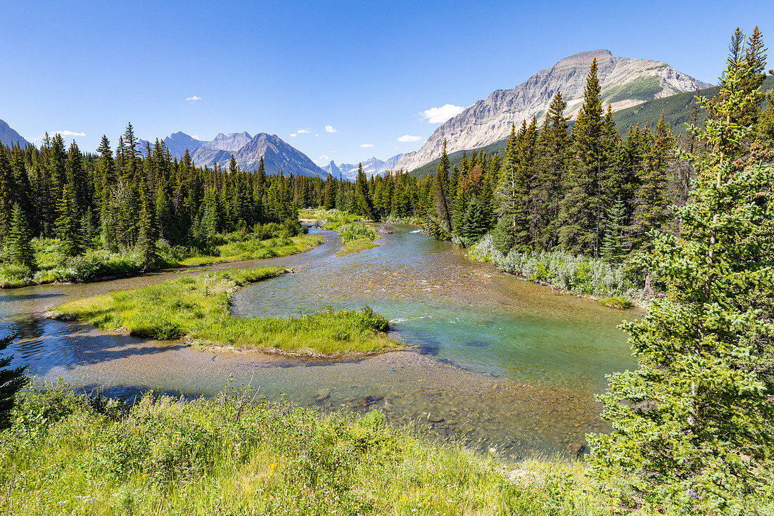
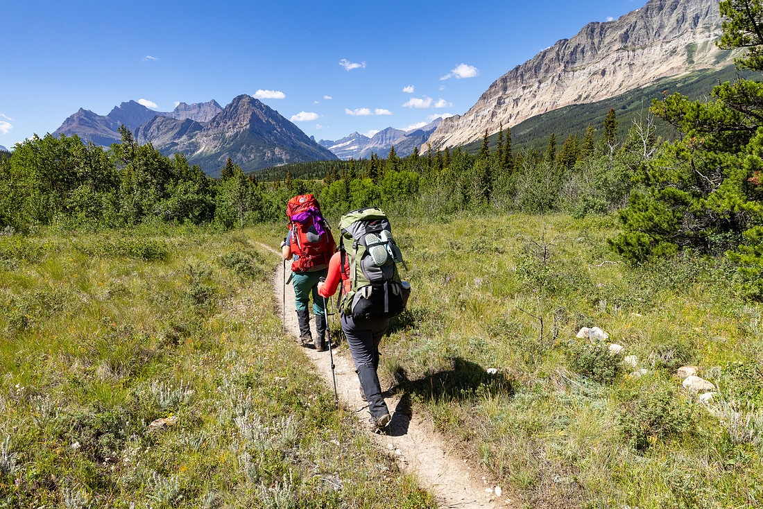
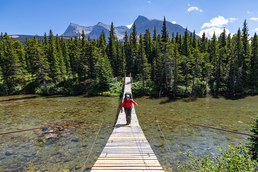
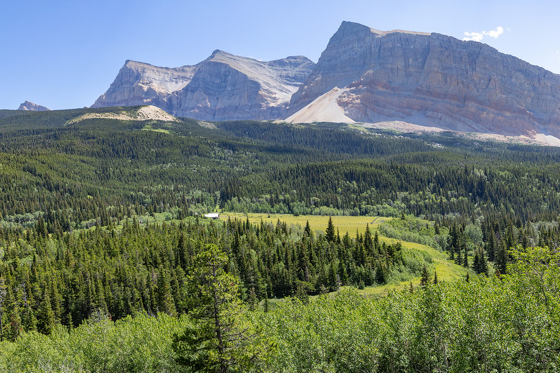
I’d hiked this stretch before and remembered mud. This time was no different. Not a sloppy mess, but plenty of puddles to keep us hopping side to side, trying to keep our socks dry. I’d gambled on trail runners instead of boots, hoping lighter shoes would give my feet a break. Waterproof they were not. After a steep drop into the valley, the trail opened into sweeping views along the Belly River. Almost ten years had passed since I last walked this section, but it felt like catching up with an old friend—the bends in the river, the open meadows, even the outline of the mountains carried a sense of déjà vu.

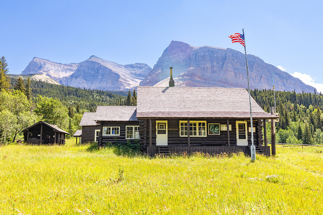
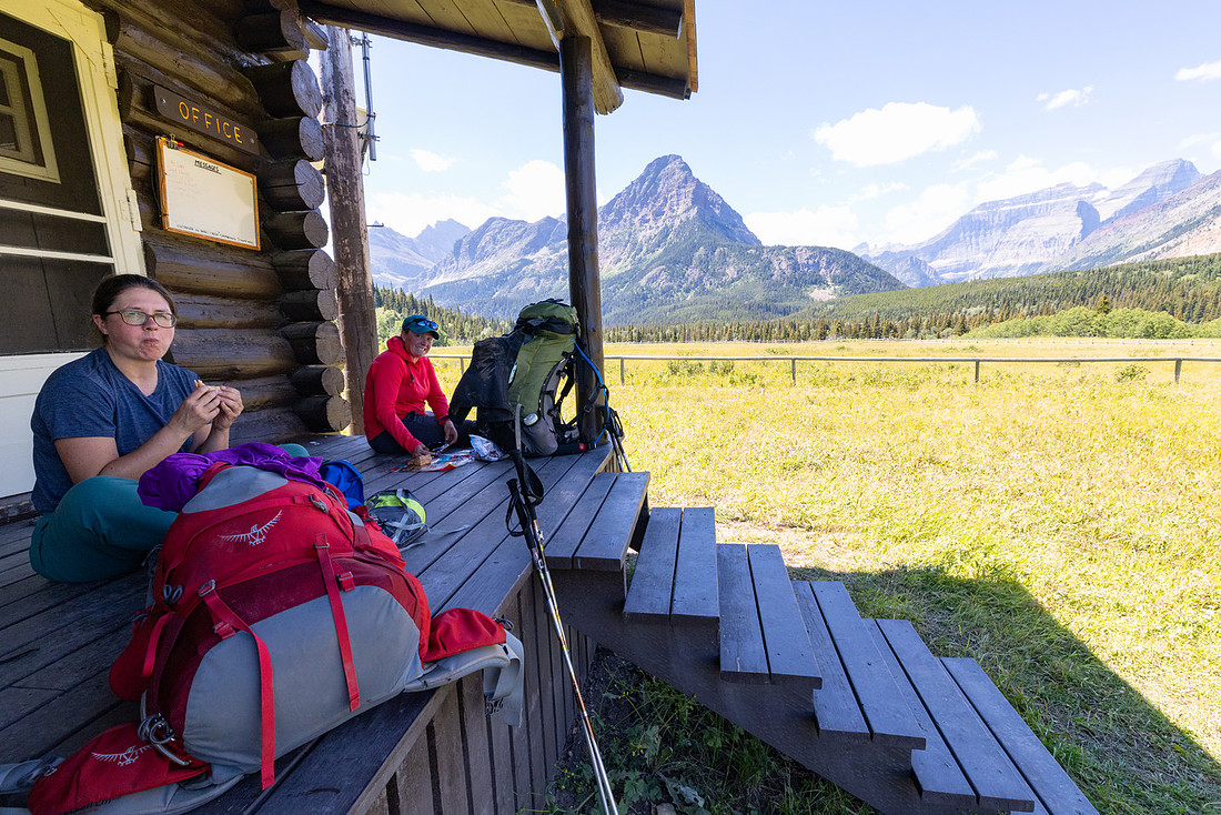
At the historic Belly River Ranger Station, we claimed the shady porch for lunch and a long rest. Built in 1912, the cabin is one of the oldest still standing in Glacier and is now on the National Register of Historic Places. With its hand-hewn logs and broad covered porch, it’s easy to imagine rangers a century ago using it as a remote outpost to patrol the park’s far northeast corner. Today it still carries that time-capsule feel, a tangible link to Glacier’s early days and the rugged lifestyle of the rangers who once called it home.
From the station, we pressed on, pausing at Gros Ventre Falls to filter water and admire the torrent cascading through its narrow gorge. Just beyond the falls, the trail narrowed and the brush closed in. Waist-high thimbleberry leaned across the path, brushing our legs and hiding the ground beneath our feet. We didn’t know it yet, but this was only a preview of the miles of “brushy” travel ahead.
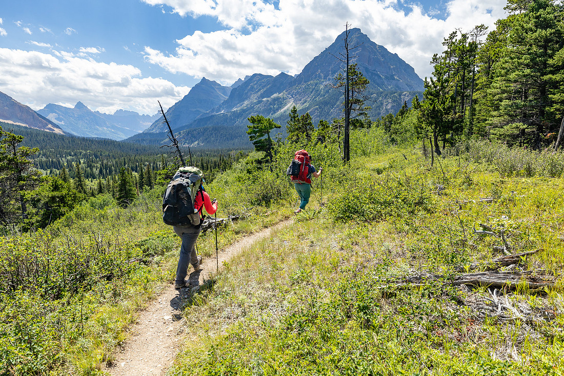
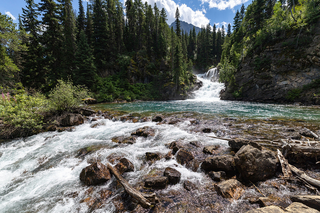
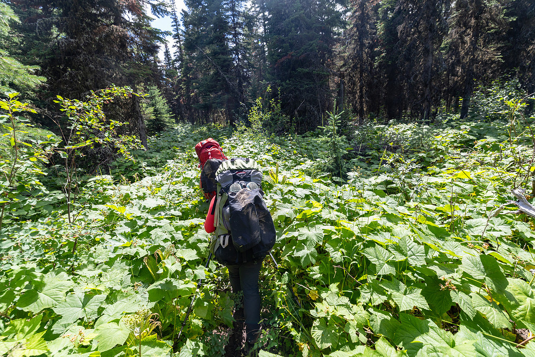
By the time we rolled into camp, every other group had already staked their claims. We strung up our food, pitched the tents, and immediately bee-lined for the lake to swim and refill bottles. Our food bags were comically heavy—it took all three of us to muscle them into the air: one person holding the load high while the other two hauled on the rope. After dinner, we wandered down to the lake outlet for a quiet view as the light softened. The brush was thick enough to slow us down, so eventually we just waded straight through the shallows. The icy water doubled as an impromptu ice bath for my sore feet—a small mercy after our first long day on the trail.
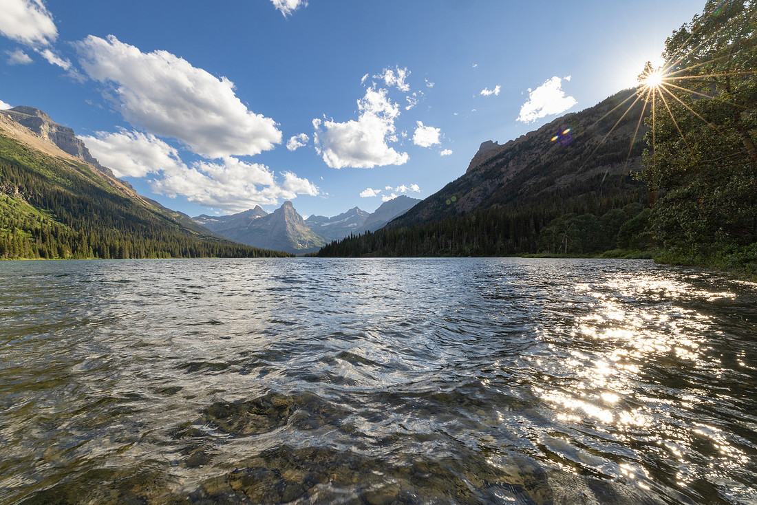
Day 2: Glenns Lake Foot → Mokowanis Junction
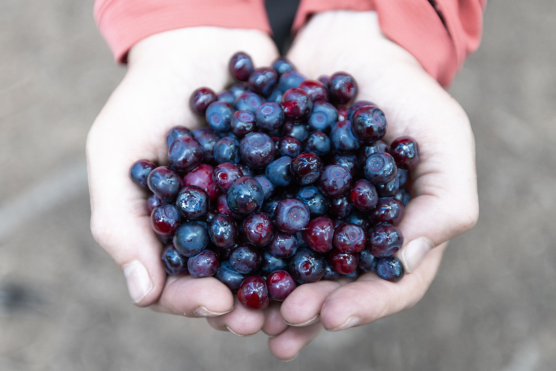
The next day felt like a walk in the park by comparison—just a few easy miles. Along the way we found our first patches of ripe huckleberries, a sure sign that summer was peaking. We stopped often to pick handfuls straight from the bushes, staining our fingers purple and slowing our pace in the best way.
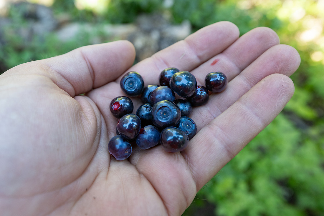
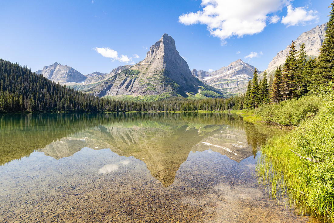
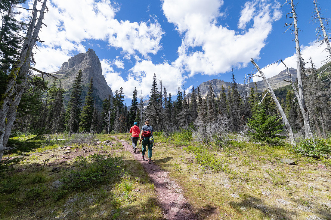
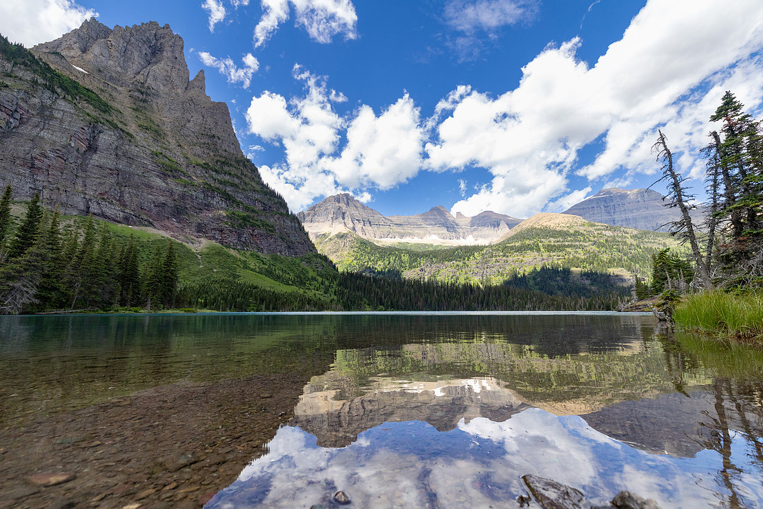
We were among the first groups to reach camp, which meant we had our pick of sites. The campground itself was tucked in the woods—quiet and sheltered, but without much in the way of views. With plenty of daylight left, we set up the tents and then wandered off to explore Mokowanis Lake and the falls above it. The trail to the lake was stunning. It crossed the inlet of Glenns Lake, then wound along the base of Pyramid Peak, its sheer walls looming high above us. When we reached Mokowanis, the sun broke through, illuminating the water a brilliant turquoise. Towering mountains mirrored back on the glassy surface, the scene so perfect it looked almost unreal.
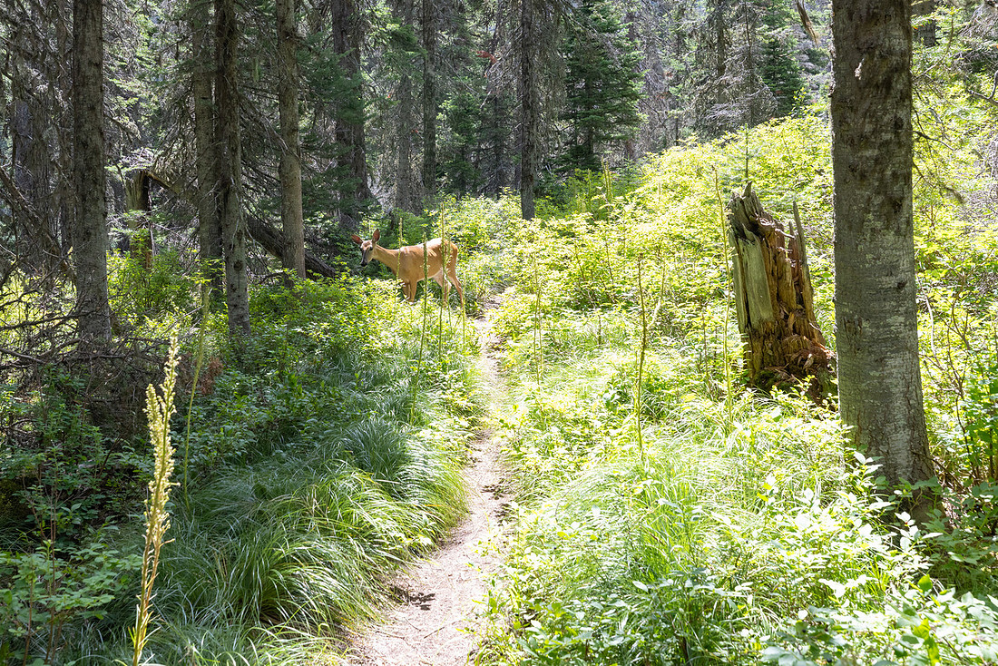
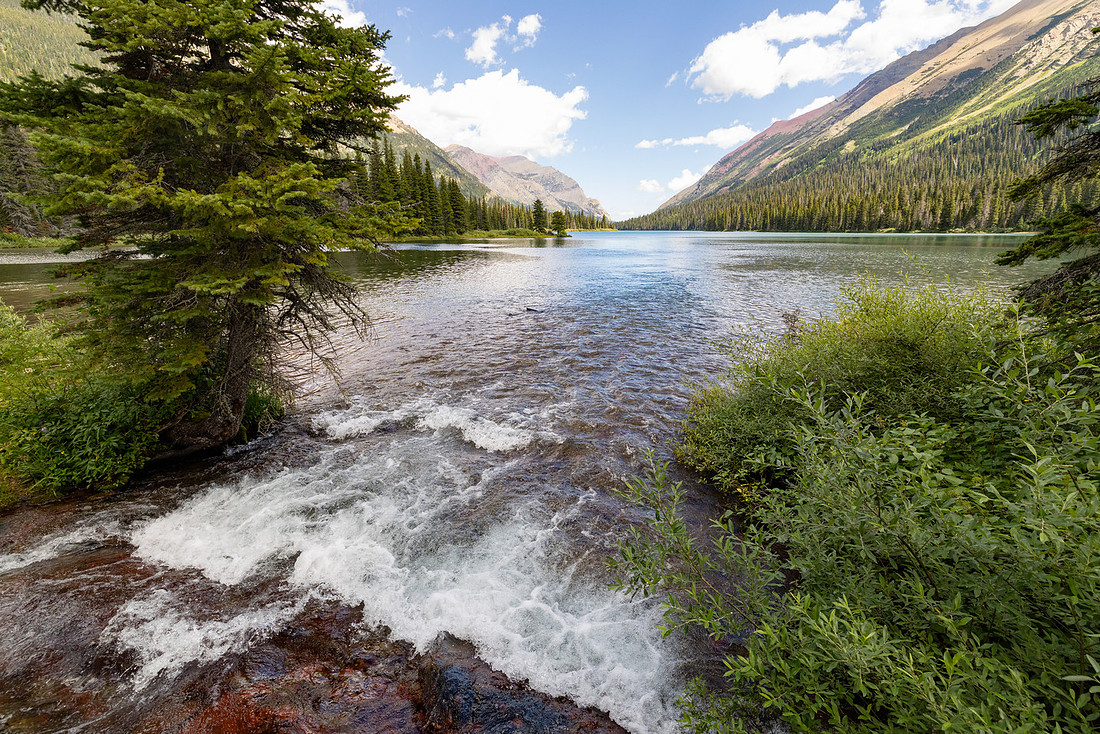
We continued past the lake, where the path grew narrower and less traveled. The brush rose higher and higher until, in some stretches, we could hardly see the ground. In spots where the trail paralleled Pyramid Creek, we found ourselves yelling ahead just in case a bear was browsing unseen in the thickets. Soon the roar of falling water drew us to the lower section of the falls. From there, the trail climbed steeply beside the cascade, delivering a sweeping view of the larger falls above. We found a flat spot along the creek and lingered over lunch, letting the water cool our feet while we watched the torrent plunge down the rock.
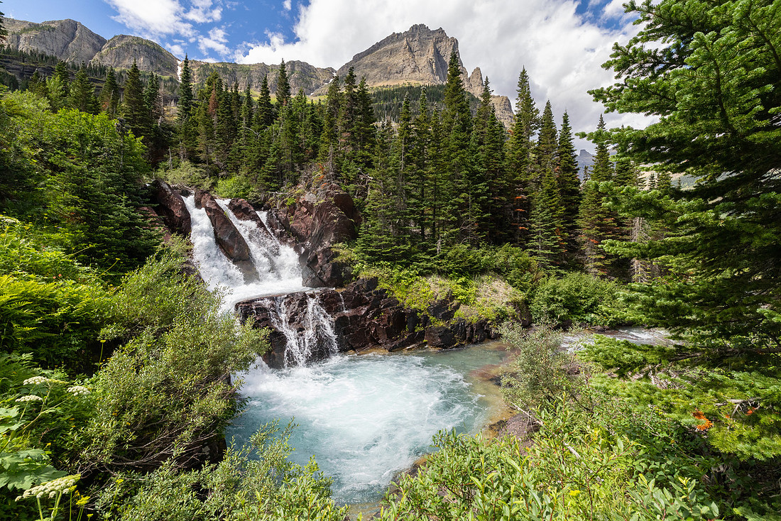
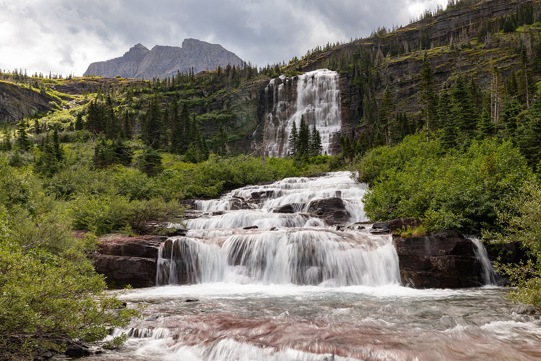
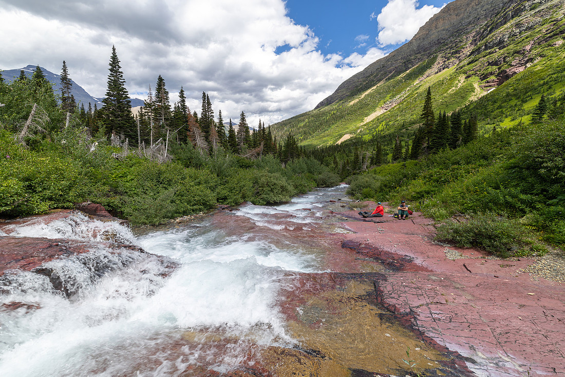
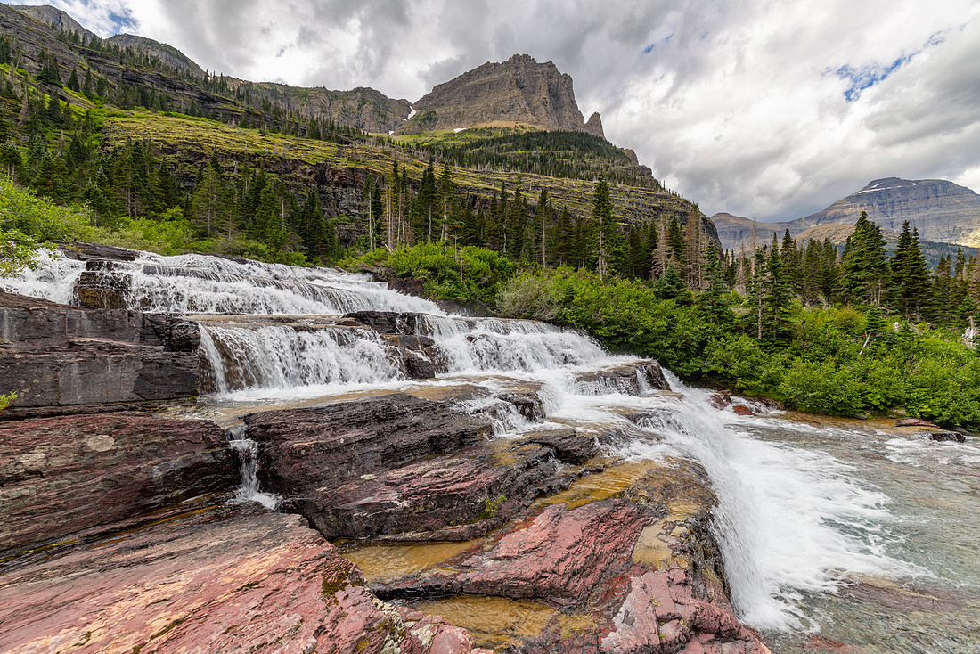
We half-heartedly tried to push through the brush to reach the base of the upper falls, but it was serious bushwhacking—not worth the effort. Nor were we up for the long detour up to Margaret Lake, so we turned back toward camp. On the way we slowed again for berries, filling both our bellies and my empty water bottle. At the inlet to Glenns Lake, a light storm blew in and forced us under a tree for shelter. While we waited out the rain, Corrie spotted a black bear meandering along the far shore, moving slowly and unconcerned. It felt like a fitting reminder of whose home we were really in.
Back at camp, I gorged shamelessly on the huckleberries we’d picked, then we cooked dinner and settled into the evening. With bellies full and the woods quieting around us, we passed the last hours of daylight reading and resting—content after a day that was short in miles but rich in everything else.
Day 3: Mokowanis Junction → Stoney Indian Lake
We woke early, eager to give ourselves plenty of time for the climb ahead. The trail wasted no time in gaining elevation, following the Mokowanis River upstream through a valley laced with cascades. Peaks rose sharply above us and the trail was lined with tall stalks of fireweed, their magenta blooms glowing in the morning light.
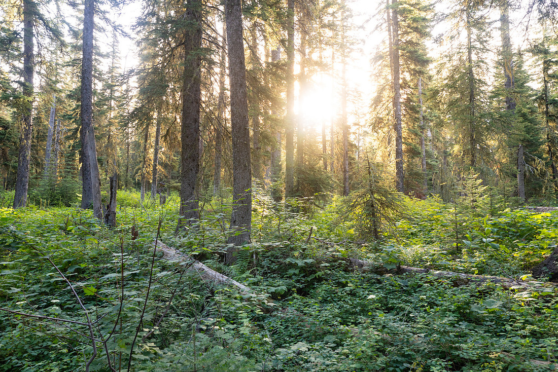
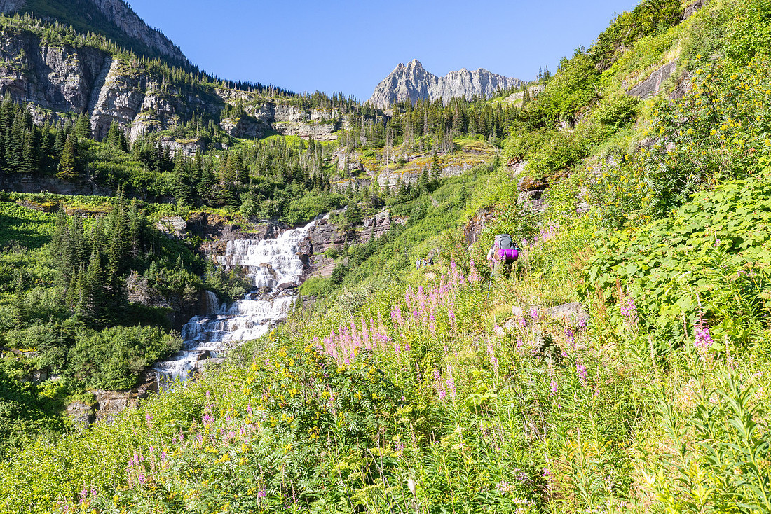
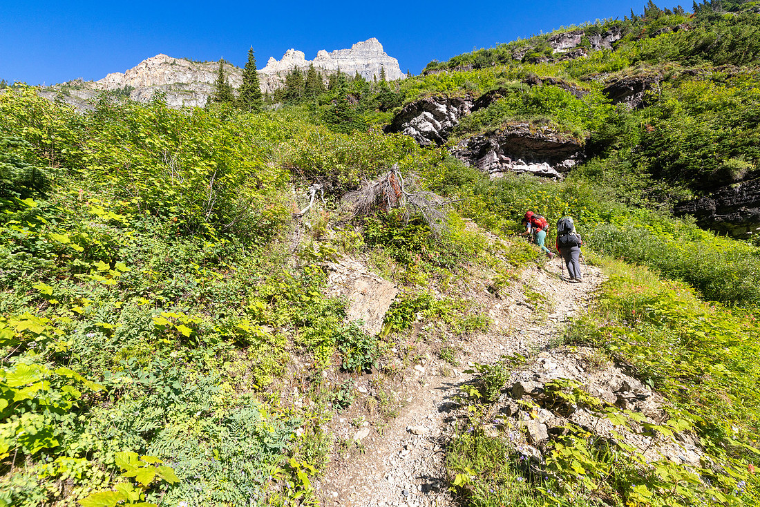
One advantage of traveling east to west was that the sun stayed at our backs each morning, lighting up the scenery in front of us. At the top of the first bench, we paused for wide-open views down the valley and across Atsina Lake towards Cathedral Peak. The trail contoured along the basin, crossed the river, and began a steady switchback climb northwest toward Stoney Indian Pass. At the top of the next rise, two waterfalls thundered off the cliffs, and the trail carried us right above their brinks—an exhilarating vantage point.
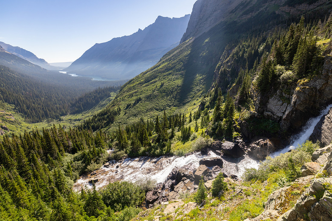
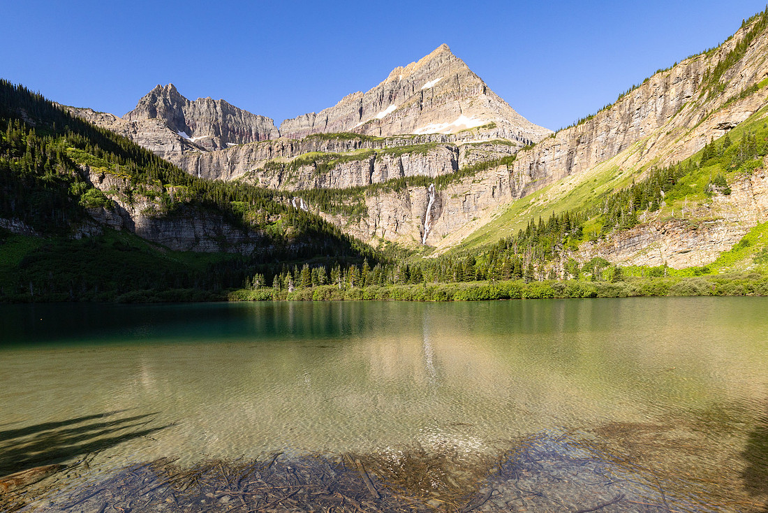
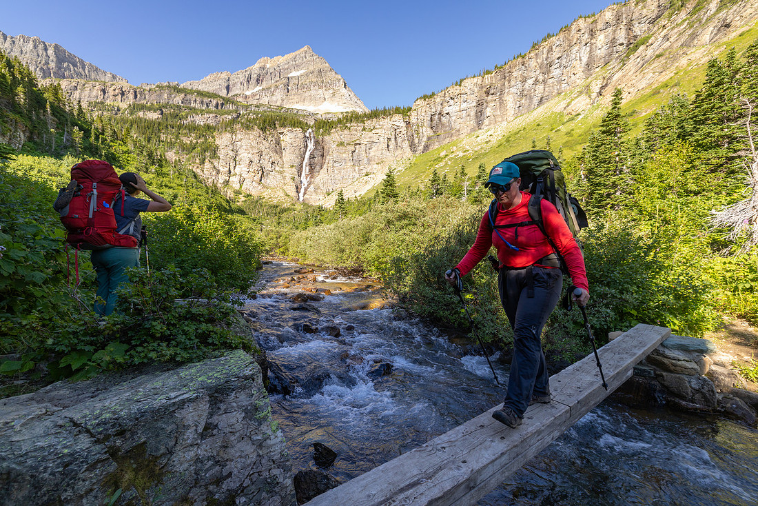
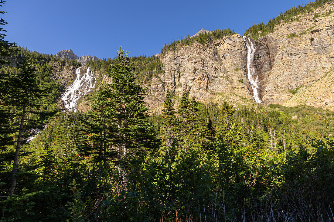
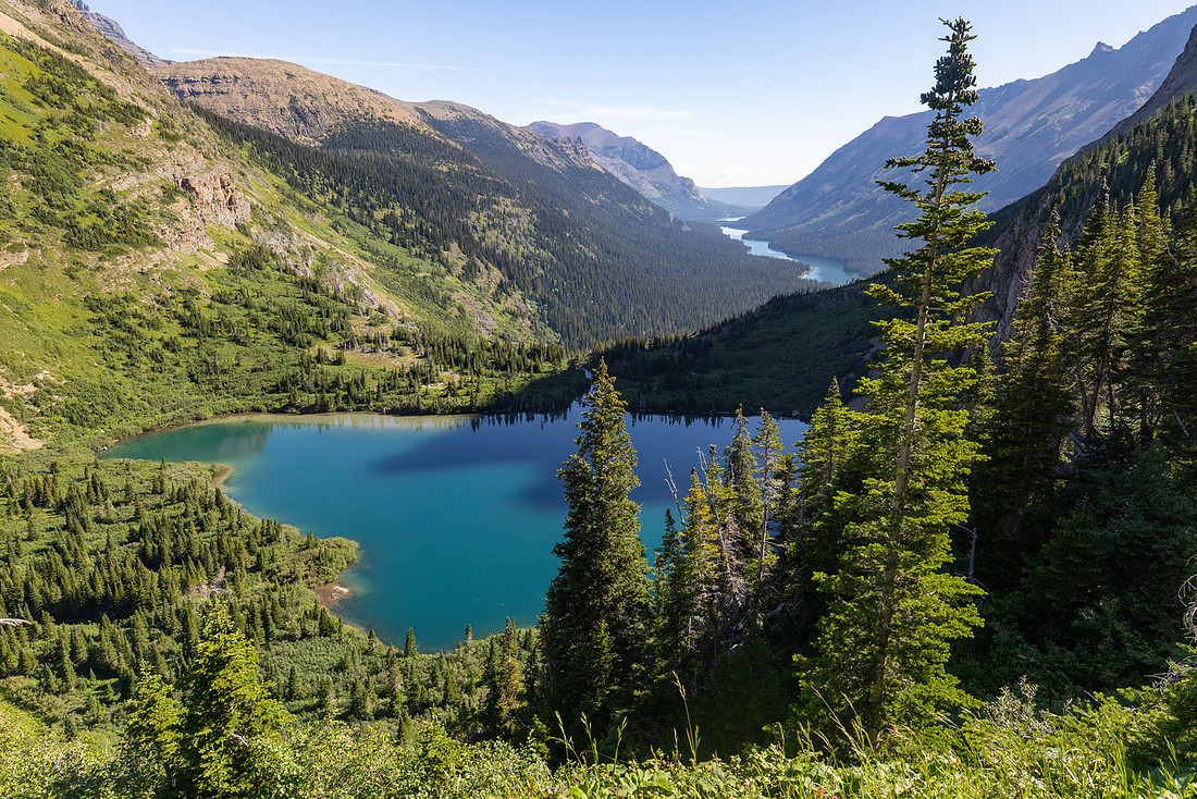
We had planned to rest at the pass, but a river crossing left our feet soaked, so we stopped early to dry out and snack before tackling the final climb. Refreshed, we pushed upward, and soon the world opened up again at Stoney Indian Pass. Even though we’d just eaten, we couldn’t resist another break—the views demanded it. Jagged ridges and the distant Waterton River Valley, the following day's destination, was the backdrop for an incredible view, the kind of panorama that makes you feel both small and lucky to be there.
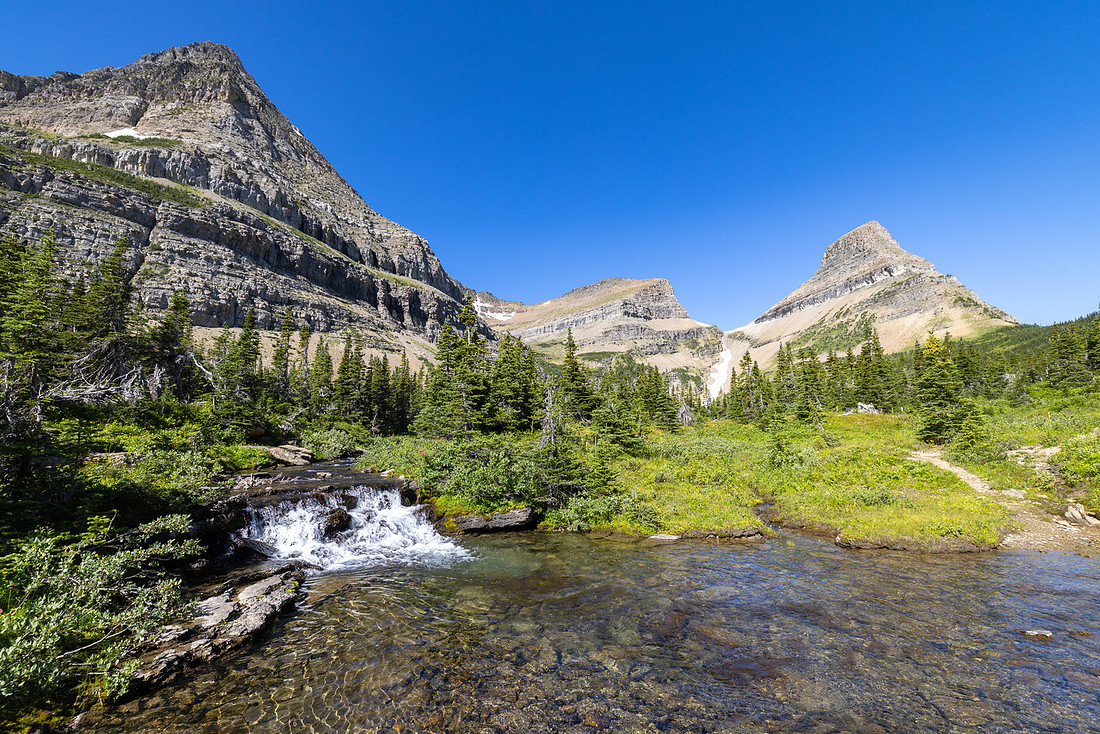
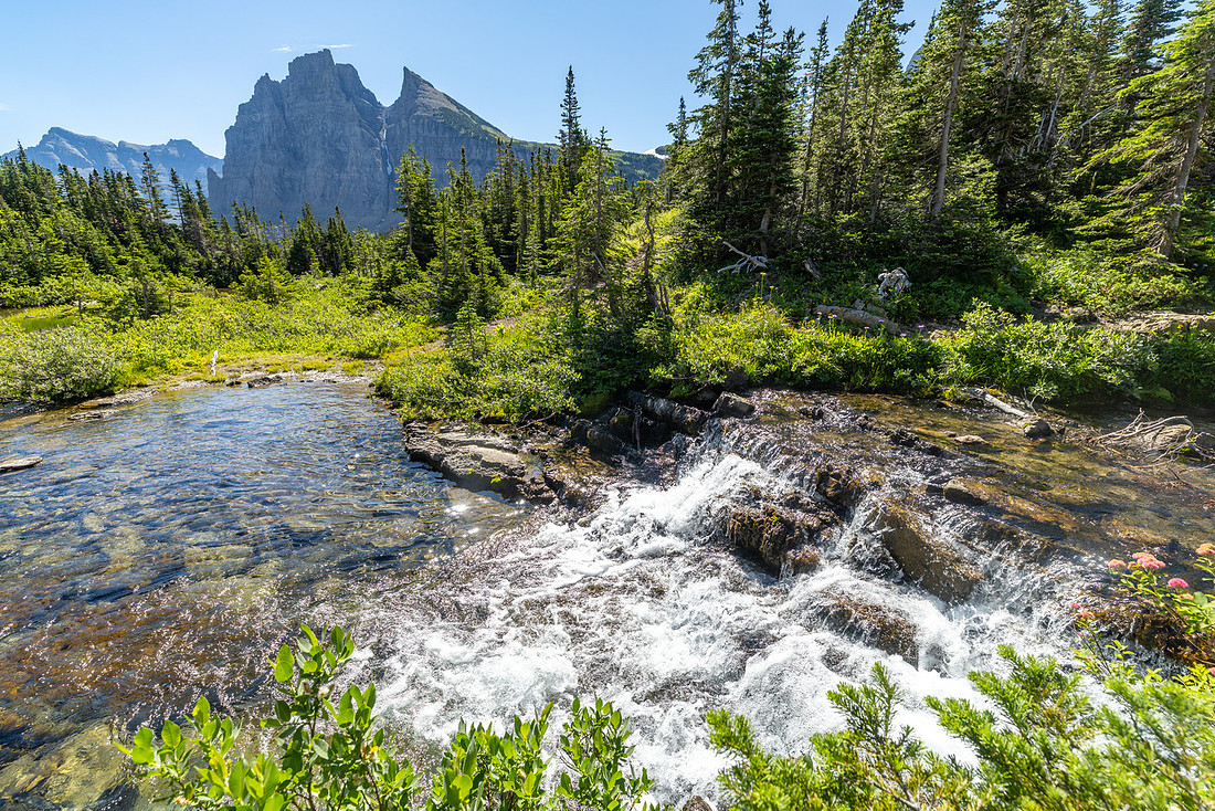
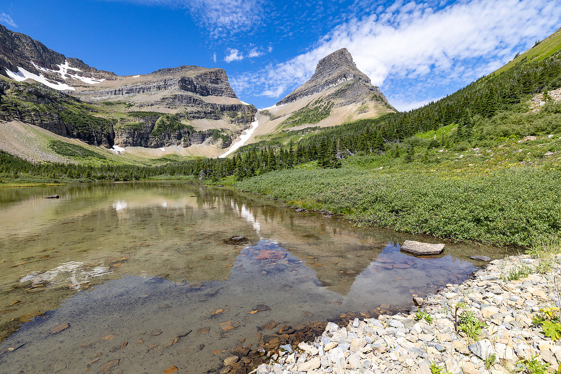
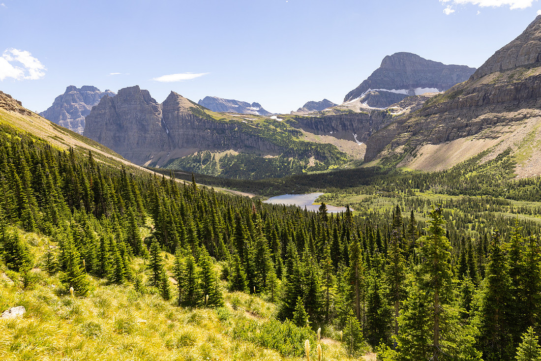
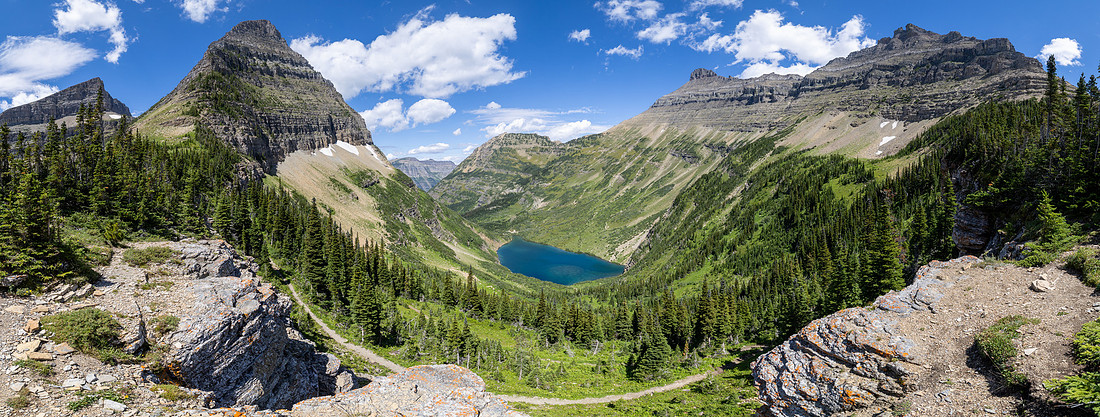
From the pass, the trail dropped gently down and around the inlet of Stoney Indian Lake. Since the area was still under “winter status,” ours was the only permitted group in camp that evening. We stored food, set up our tents, and then spent the afternoon sprawled near the shoreline, seeking that sweet spot of shade with just enough breeze to keep the bugs tolerable.
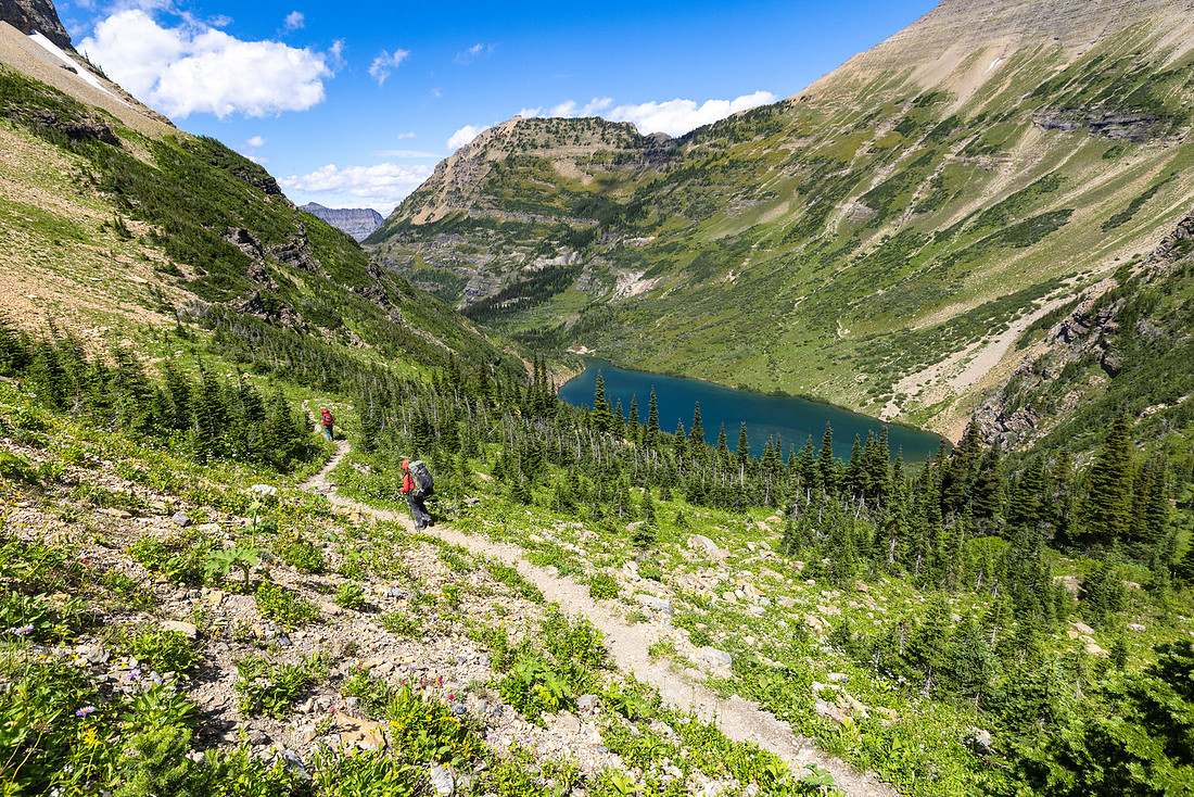
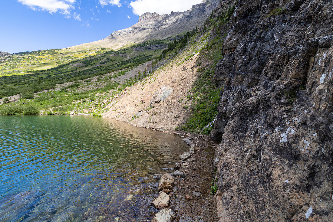
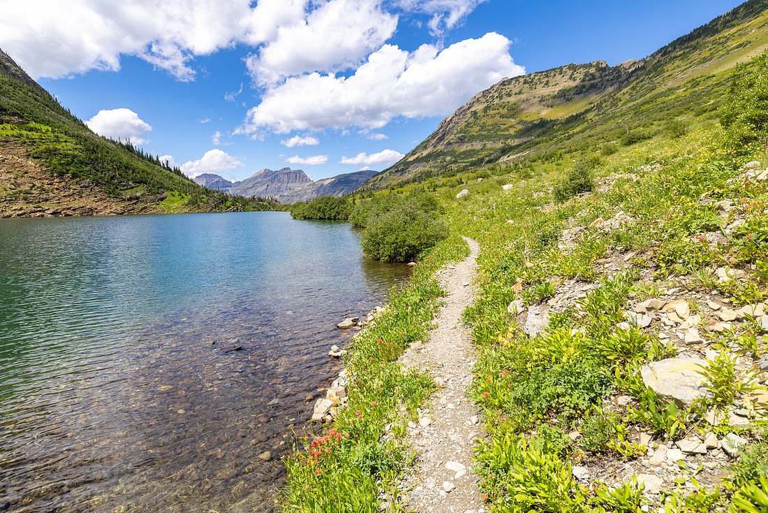
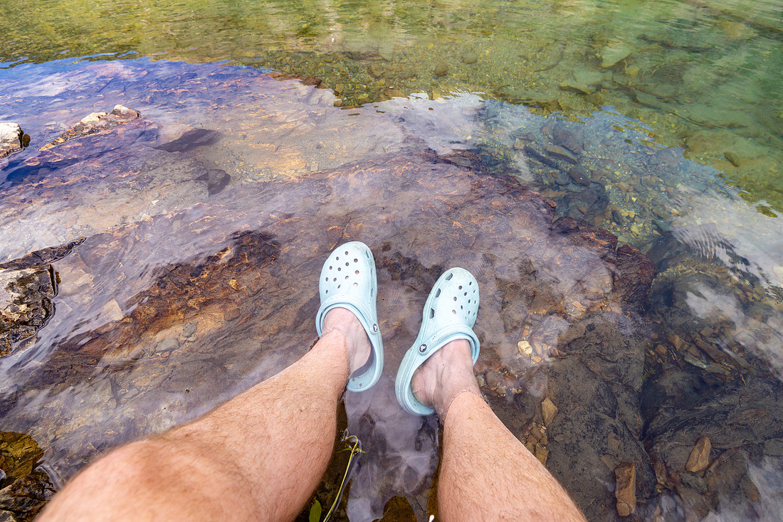
The water was so clear that when I soaked my sore feet, it was almost impossible to tell where air ended and water began. Eventually, I gave in, dove headfirst, and let the icy water shock me awake. Floating there, surrounded by mountains, was pure magic. Clouds started to gather at the pass, so we wandered along the lakeshore and found a soft patch of beargrass to lie in, watching the sky shift. Billowing gray masses spilled over the pass and descended toward the lake, the whole scene dramatic and mesmerizing. But as the clouds darkened, we reluctantly headed back to camp, just in time.
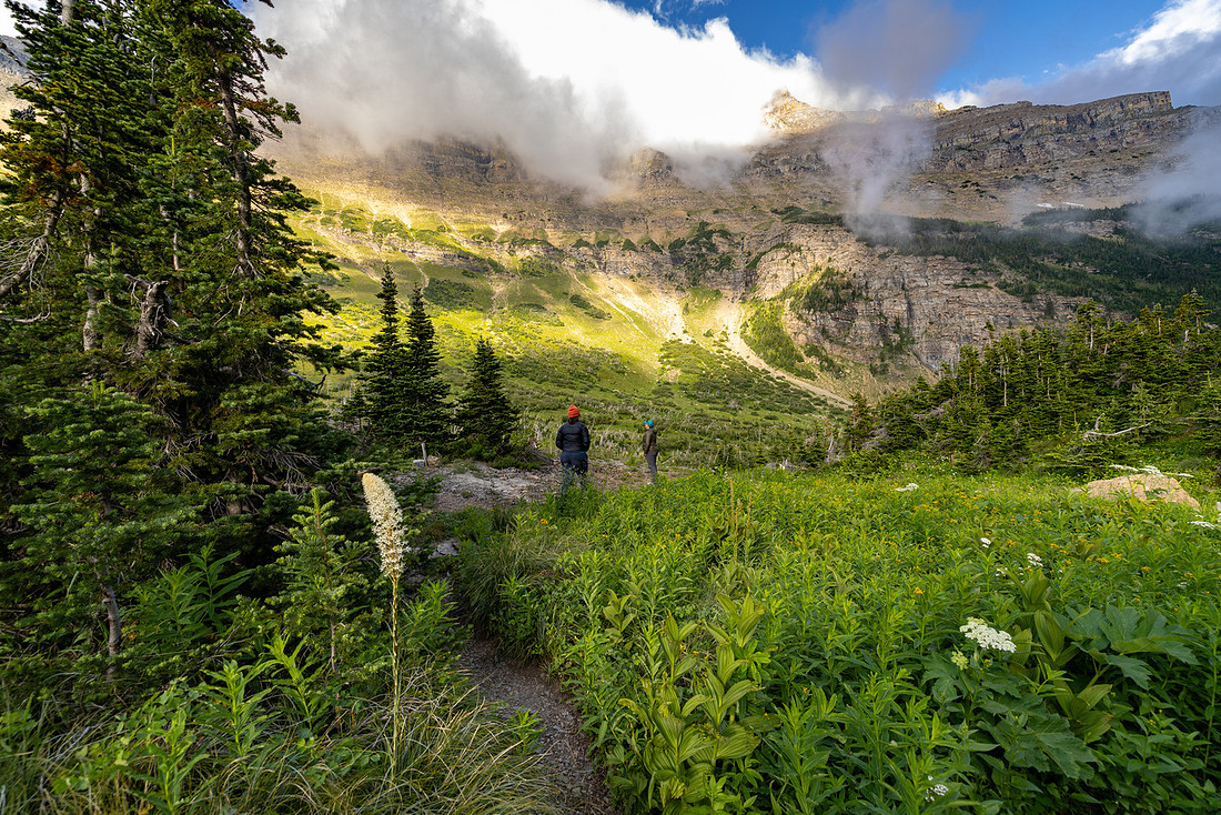
Within minutes, a torrential downpour hit, sheets of rain hammering the tents. It came down so hard that the splashes ricocheted up under the fly and sprayed us inside. For half an hour the storm raged, and then, almost as suddenly as it began, it was gone—leaving behind only dripping trees, the smell of wet earth, and not long after I was out for the night.
Day 4: Stoney Indian Lake → Waterton River
The next morning we woke to still air, the lake perfectly calm, but the mountains above were hidden in thick, low-hanging clouds. The scene was eerie and beautiful—water and sky blending into a single gray canvas. I wandered along the shoreline for a while, taking in the surreal quiet before heading back for breakfast.
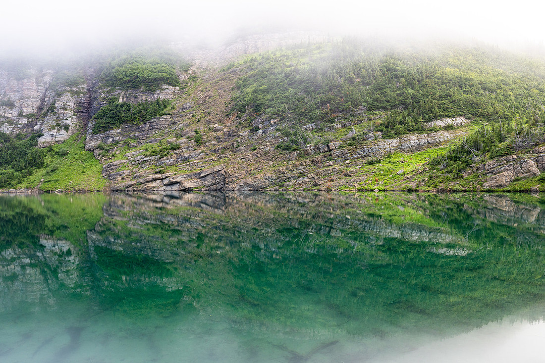
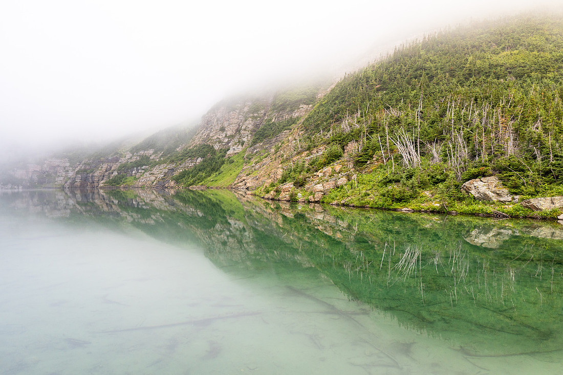
After eating, we suited up in rain gear and set out, bracing for the wet, brushy miles ahead. The trail was narrow, overgrown, and soaked from the night’s storm. Each step brushed cold water onto our legs and packs, and before long we were as damp as the plants around us.
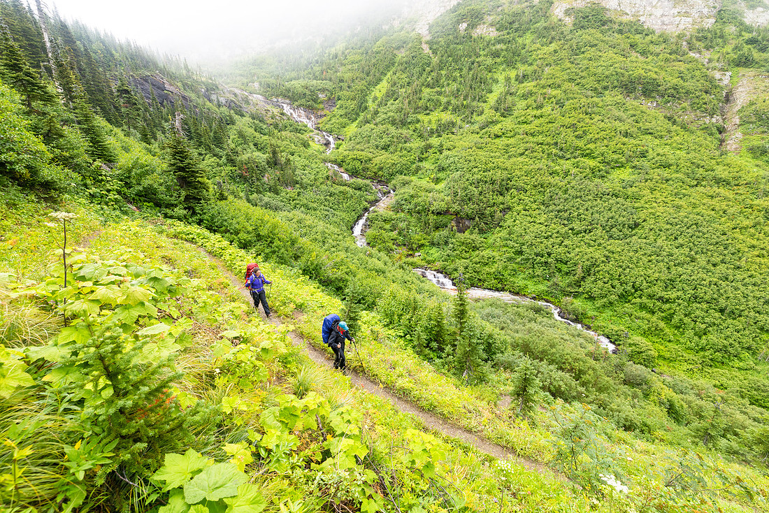
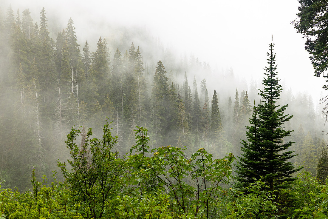
We paused for snacks at the Waterton River Junction, where the bugs were relentless enough to warrant our first real use of bug spray on the trip. From there, the trail toward Goat Haunt wound mostly through thick forest. It was quiet, enclosed, and uneventful, aside from a handful of fresh moose tracks pressed deep into the mud—a reminder that we weren’t the only ones passing through that corridor.
At Goat Haunt, we gratefully ducked under the pavilion, hooked up to the Wi-Fi, and checked the weather. It felt almost strange to dip back into the connected world after so many days off the grid. We ate lunch, laid our wet gear to dry, and waited for the sun to break through.
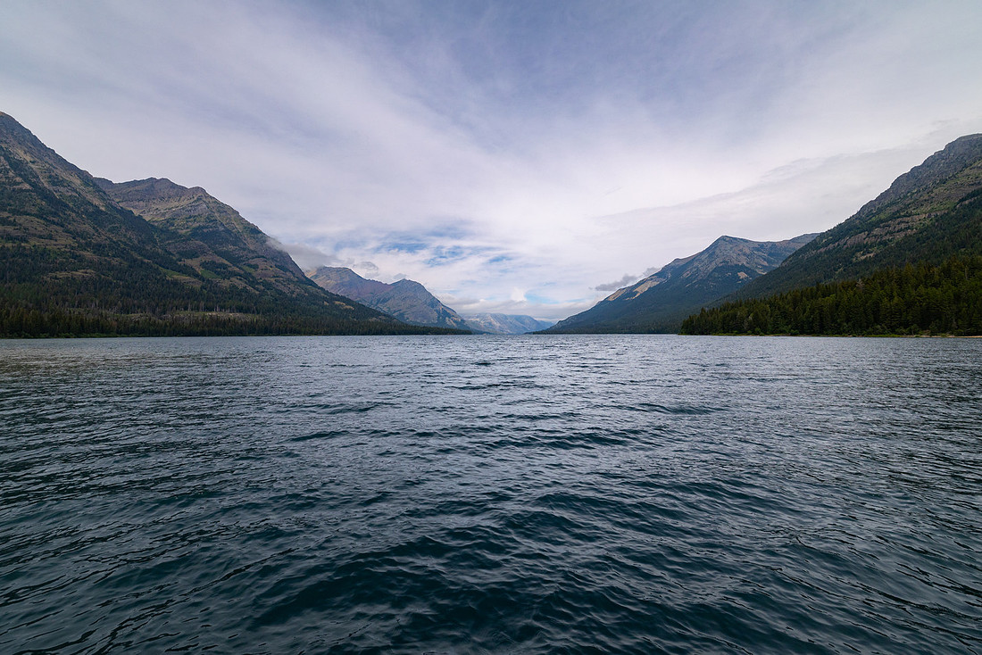
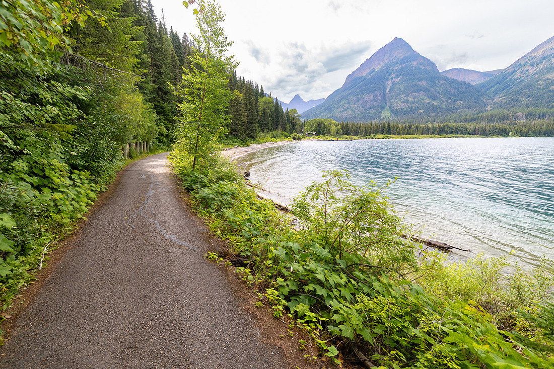
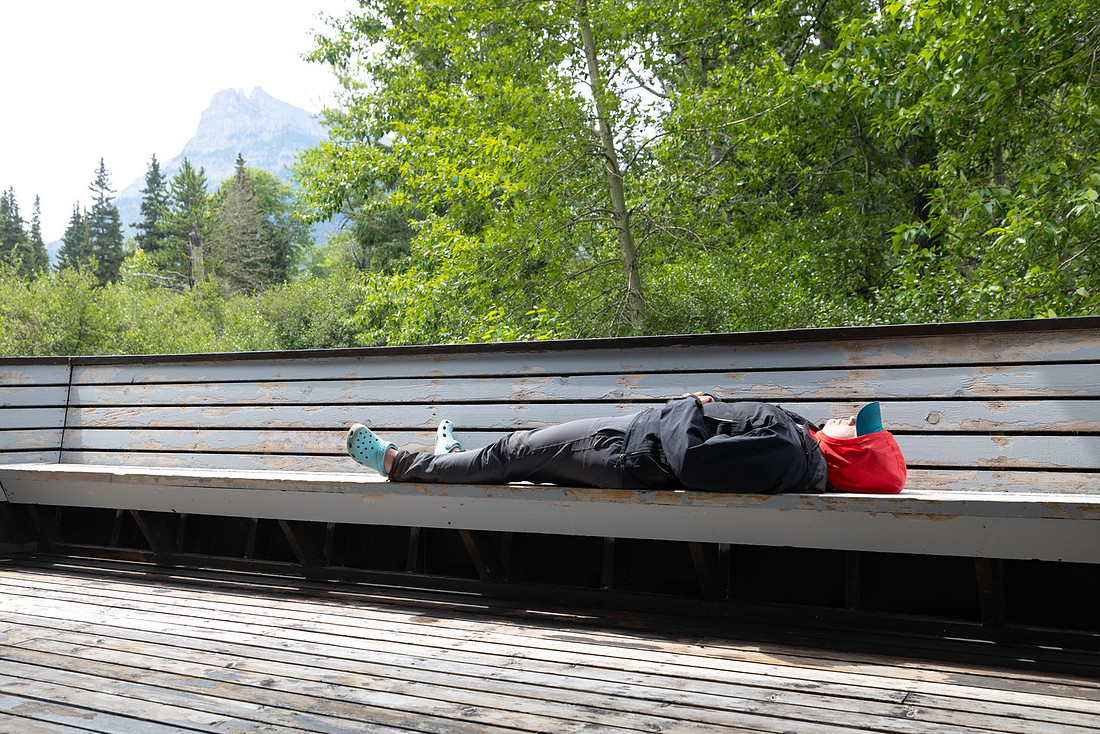
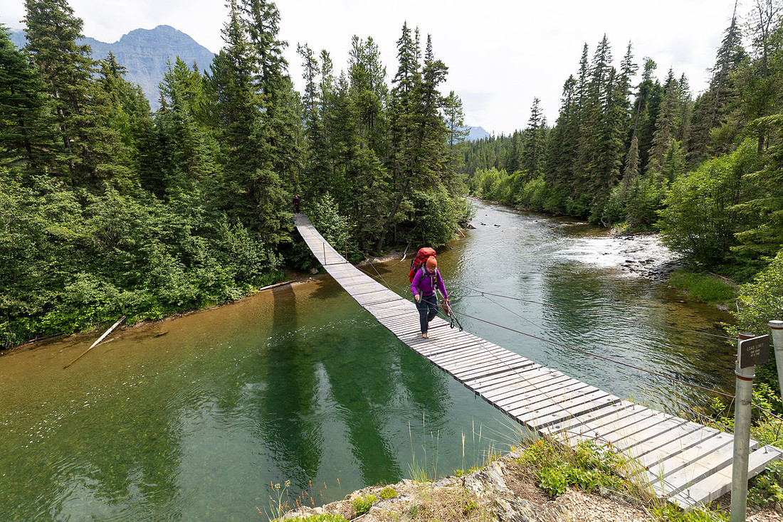
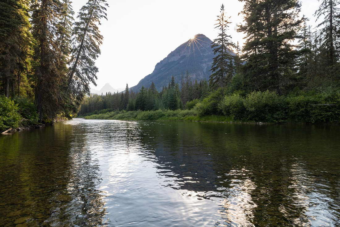
When the sun came out, the whole mood shifted. Jackets came off, spirits lifted, and the trail ahead seemed lighter. We followed the river upstream to our campsite, arriving first and having the place to ourselves. With time to spare, we spread out our damp clothes and gear in the sun, turning camp into a patchwork of drying fabric. That simple reset—warmth, sun, and dry socks—felt like a luxury, and it grounded us again for the days ahead.
Day 5: Waterton River → Brown Pass
Surprisingly, my feet were still holding up. We were dry, spirits were high, and we’d officially made it halfway through the trip—both in time and in miles. Today promised to be another big effort, with a long climb up to Brown Pass, so we woke early and hit the trail.
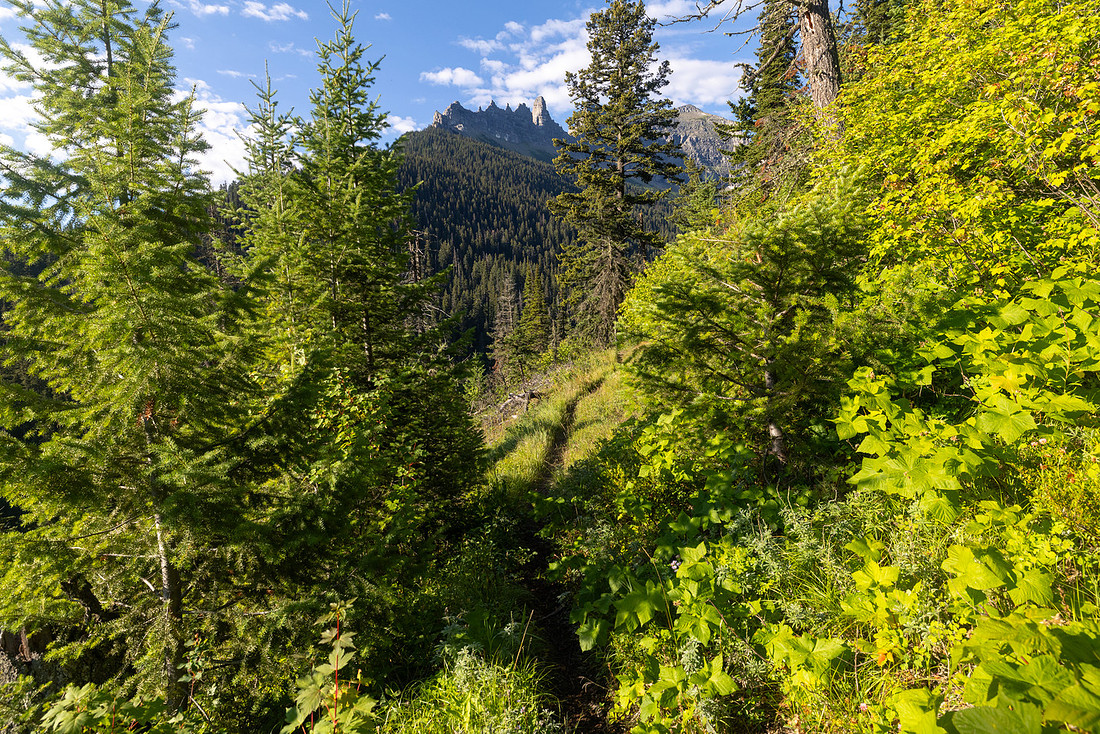
The morning began with a steady climb out of the Waterton Valley. As the trail rose, the trees parted just enough to give us sweeping glimpses of jagged peaks catching the morning light. After a couple of hours, we found a break in the forest big enough to sprawl out for a snack stop. Back on the trail, we soon reached Janet Lake and took the chance to filter water. The campground there was hemmed in by trees and offered little in the way of views, but I bushwhacked down to the shoreline and found a window onto the turquoise water, glassy and still beneath the cliffs.
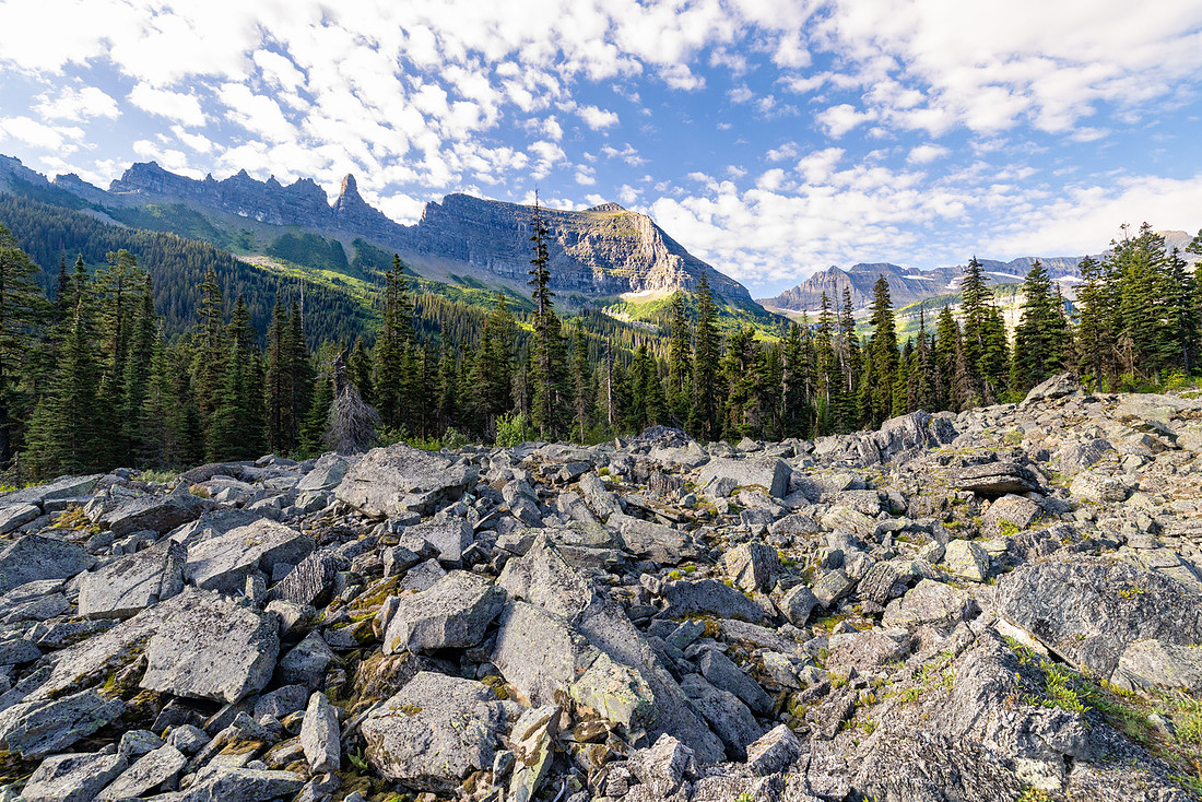
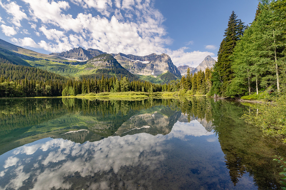
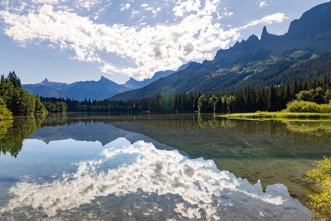
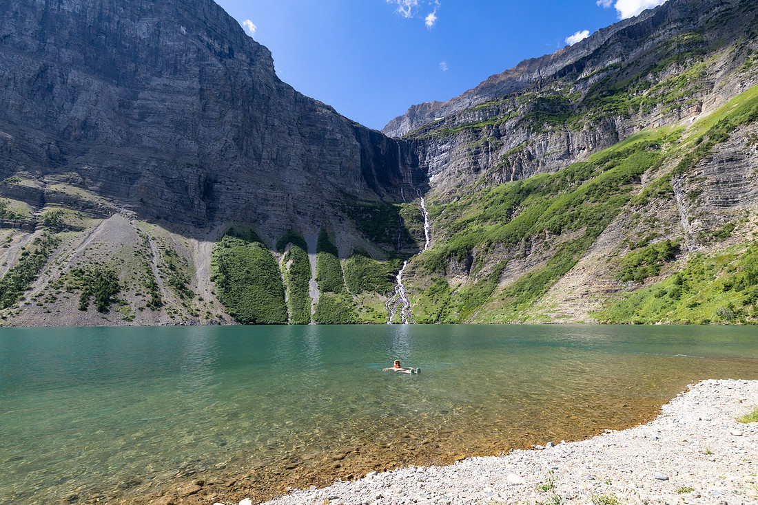
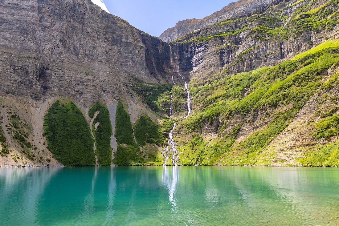
We’d originally hoped to camp at Frances, but the sites were full when we booked. Still, we decided to detour for lunch. The descent down to Francis Lake was steep and rugged, but the reward was immediate. We popped out onto a pebble beach, spread out in the sun, and dove in for a chilly swim. Towering above us, Dixon Glacier sent a ribbon of white water cascading down over 400 feet into the lake—a backdrop so dramatic it felt staged.
Reluctantly, we shouldered packs and climbed back to the main trail, winding upward toward Thunderbird Pond. When we reached the pond, the lure of the water was too much to resist again. We dropped our packs, found a deep hole, and leapt from the boulder into the deep, cold pond—our second alpine swim of the day.
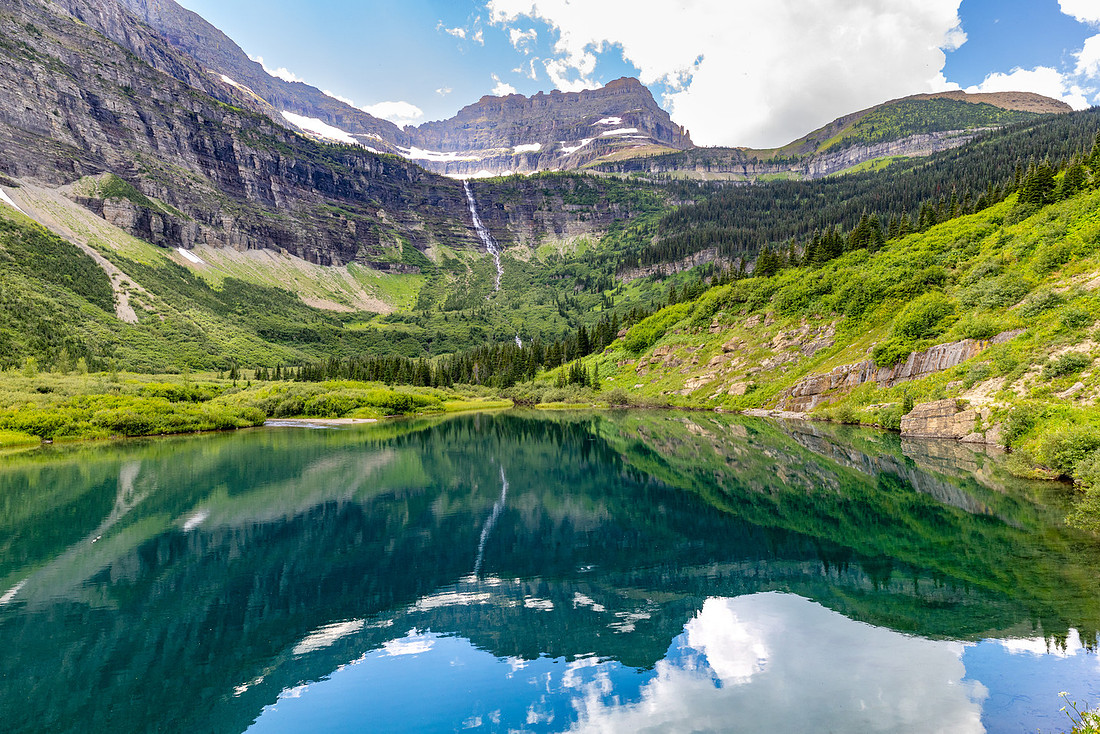
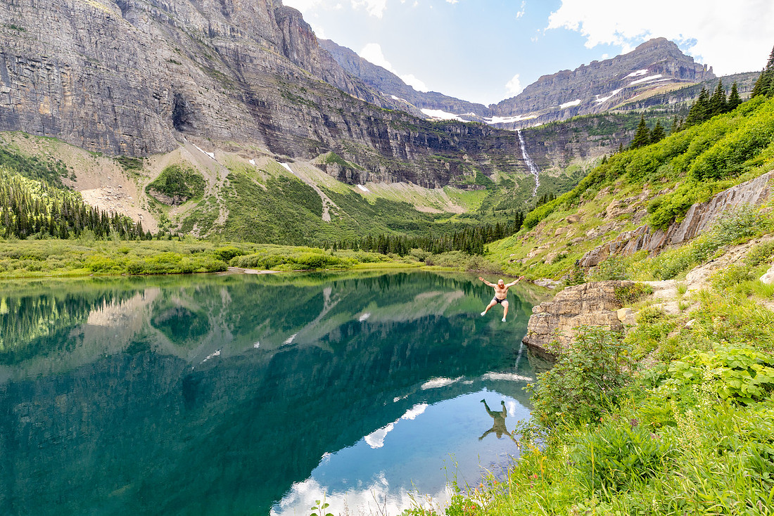
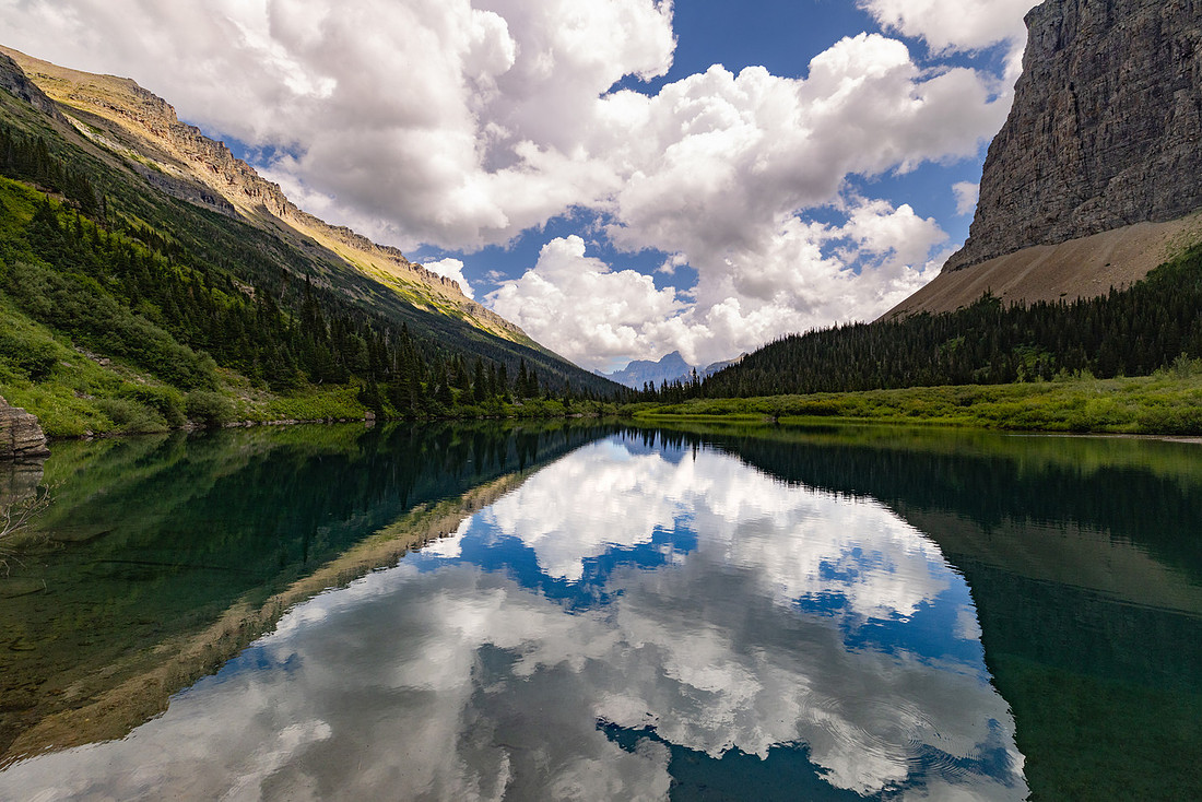
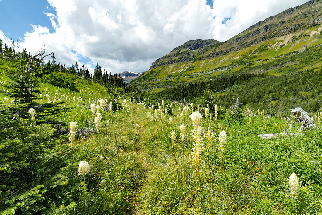
From there, the final push to Brown Pass began. The grade was reasonable, but the miles had piled up, and fatigue set in as the afternoon stretched on. Near the top, the trail cut through a small patch of blooming beargrass—the only one we’d seen all trip—its white plumes swaying in the breeze like a gift for making it this far.
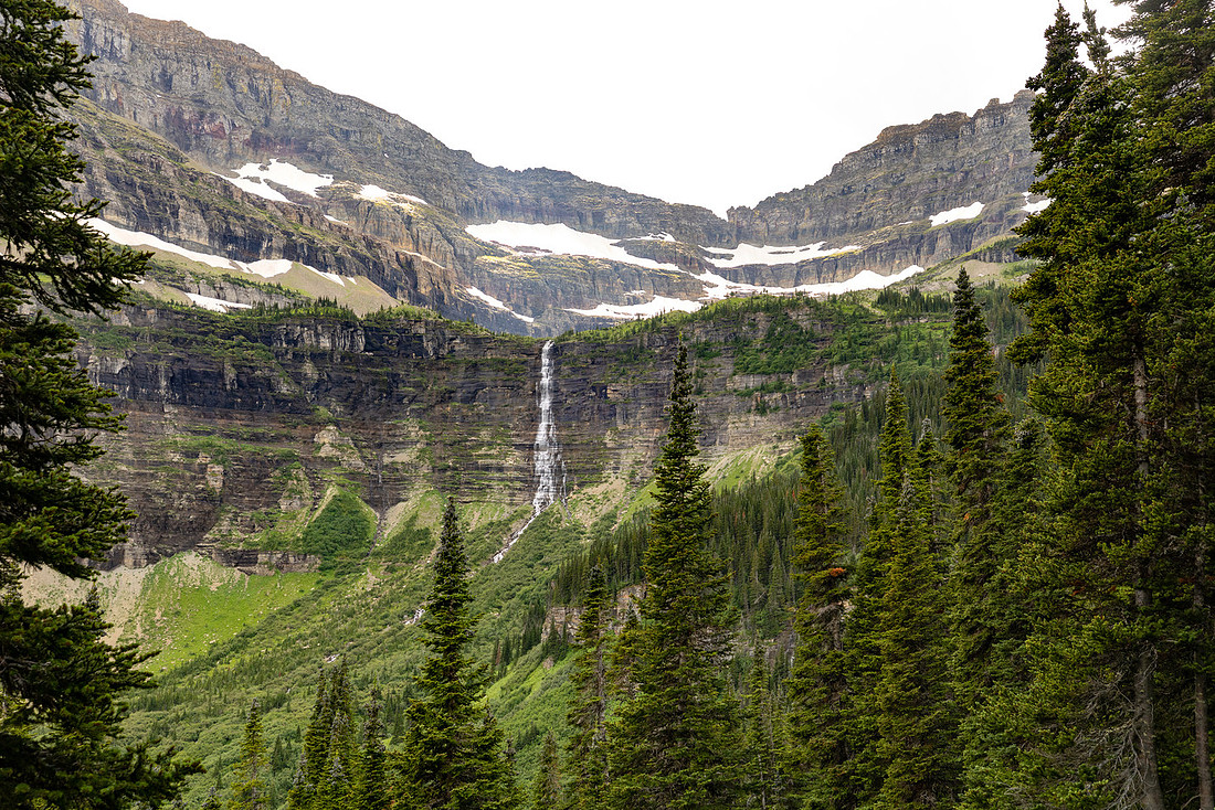
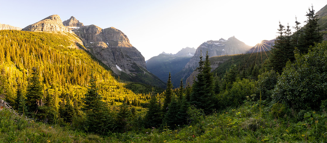
At the pass, we expected camp, but I’d marked the site incorrectly on my map. Instead, we found ourselves with an unexpected downhill to the actual campground. Tired, we rolled in, dropped packs, and immediately set about filtering two days’ worth of water since the nearby creek was running low. After that chore, a nap felt mandatory. Dinner revived us, and as the light began to soften, we wandered a short distance down the trail toward Bowman Lake. Just a few hundred yards from camp we stumbled onto the perfect overlook—open, quiet, and bathed in gold. We sat there until the sun slipped behind the peaks, watching the last light fade from the mountains and feeling grateful for another long, spectacular day in Glacier’s backcountry.
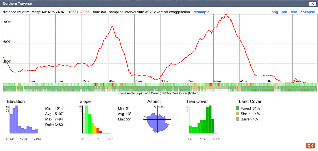
Tomorrow was the big day: Boulder Pass. It loomed as one of the most strenuous stretches of the trip, nearly 2,000 feet of climbing followed by 3,500 feet of descent waiting for us on the far side. But it also promised some of the most spectacular scenery of the entire trail. The anticipation buzzed through me—I felt like a kid on Christmas Eve, restless with excitement for what was about to unfold.
Day 6: Brown Pass → Upper Kintla
We woke up predawn to catch the best light. It was lucky I had filtered water the night before, because by morning the little creek near camp had completely dried up. Before breakfast, I walked back out to our sunset spot, and the views in the still morning light were every bit as magical.
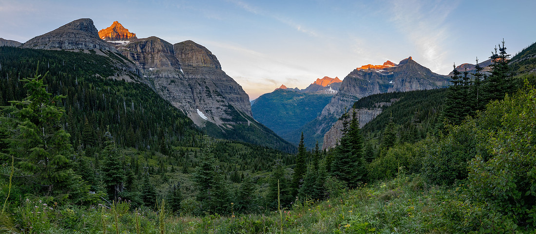
After a big breakfast, we climbed back up to Brown Pass and took the junction that continued toward Hole-in-the-Wall Campground. The morning light was spectacular—not a cloud in the sky—and the trail stayed shaded as we contoured along the hanging valley, crossing stream after stream, each one eventually tumbling down to form Bowman Creek.
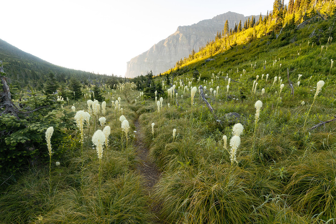
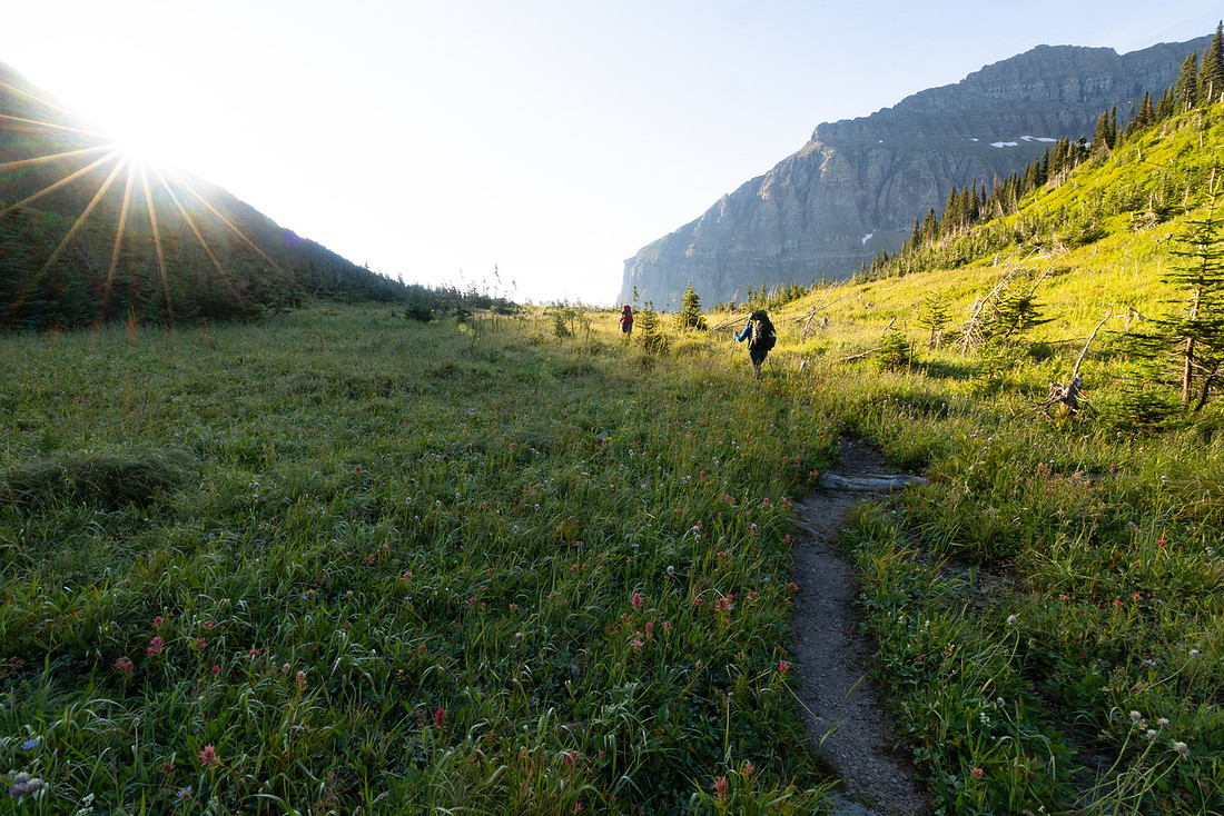
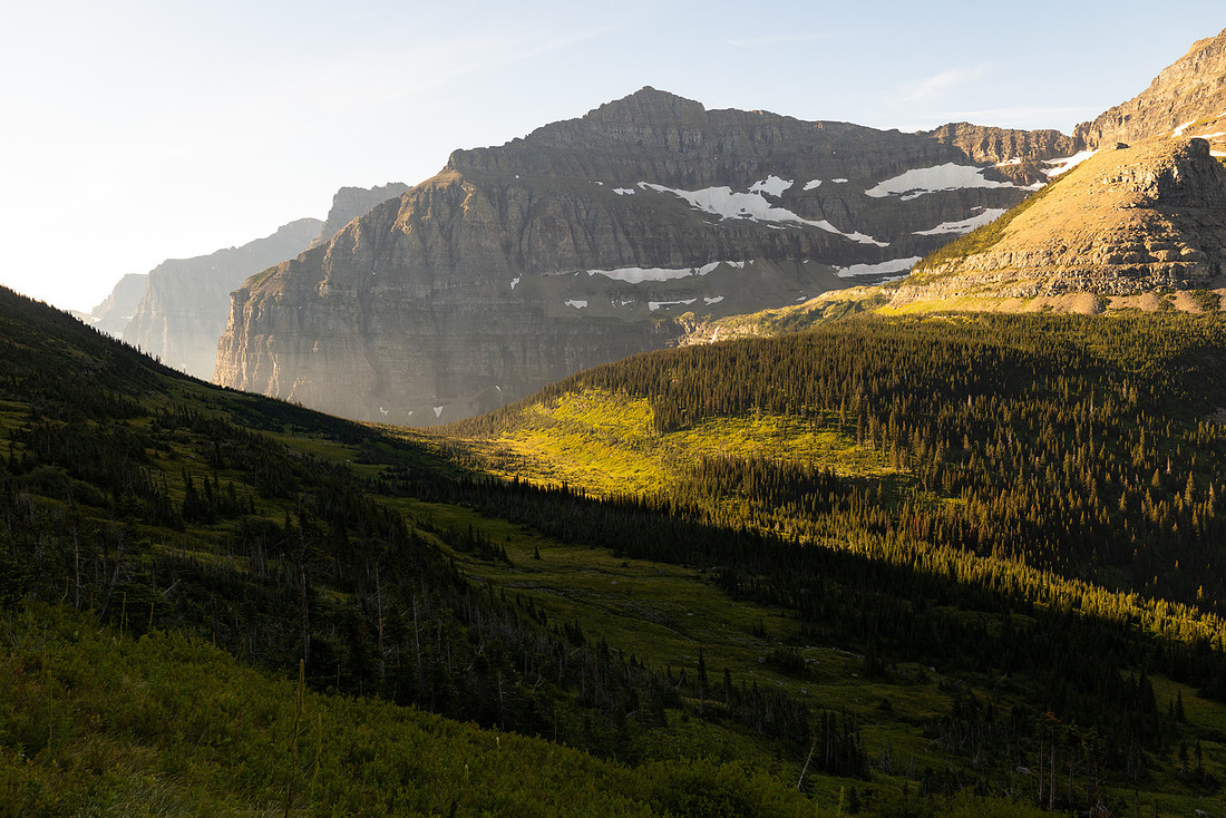
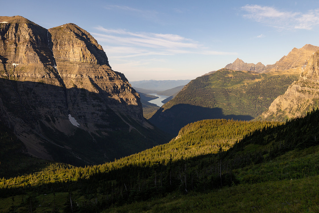
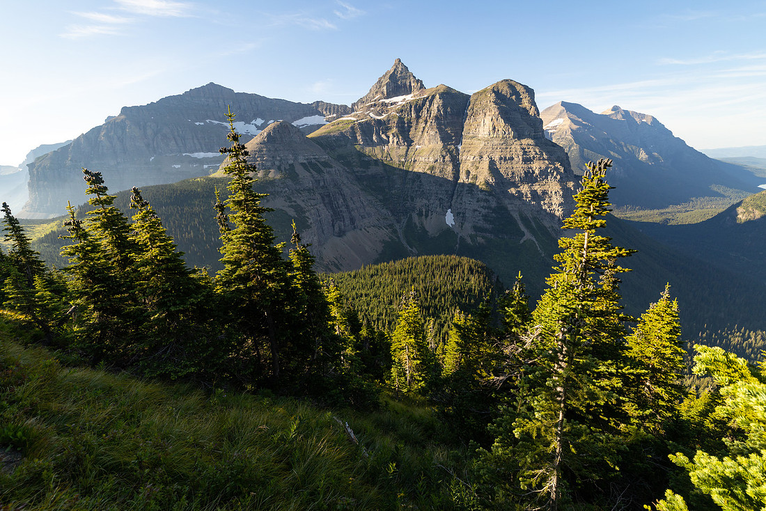
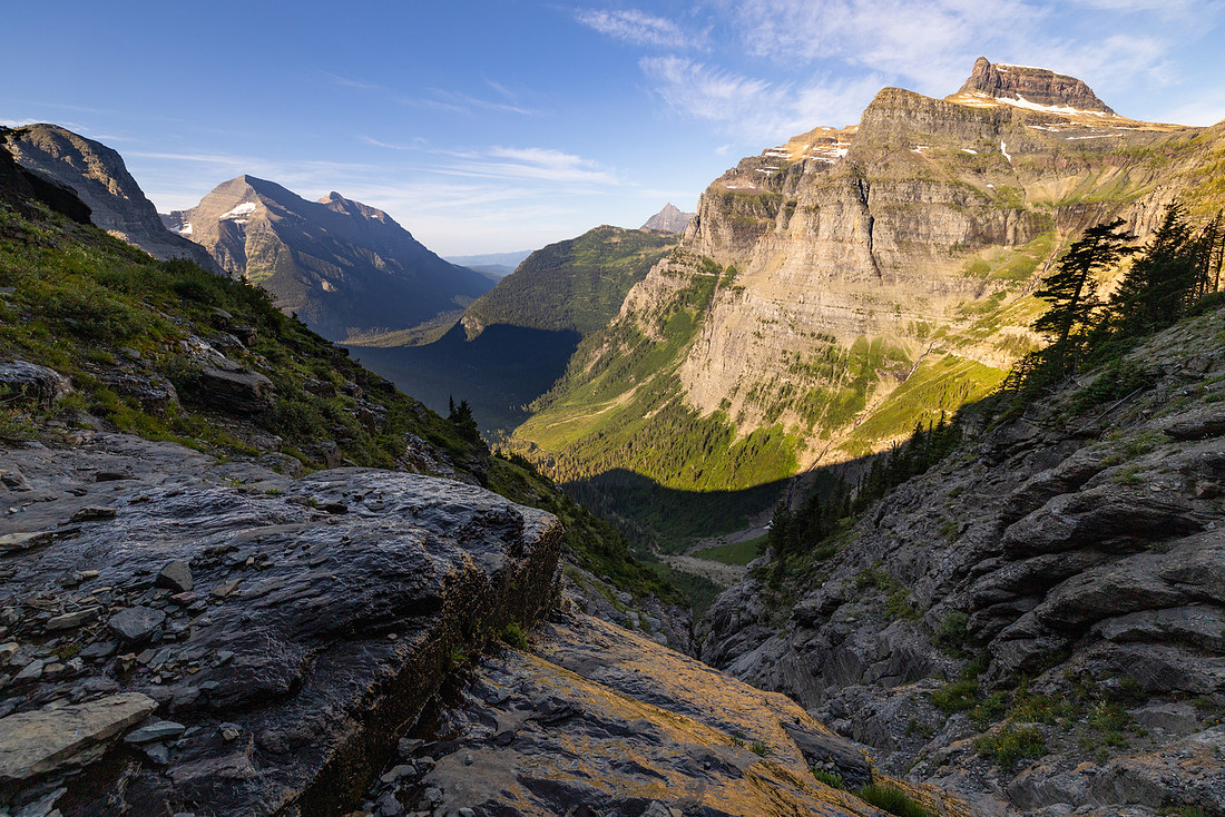
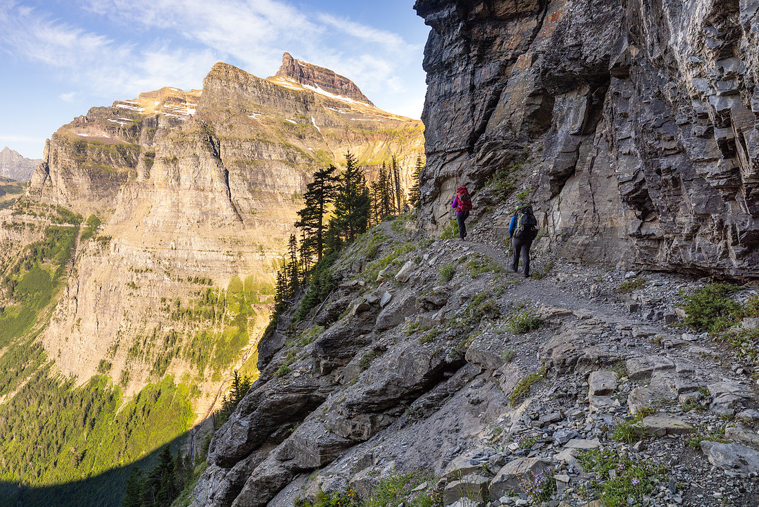
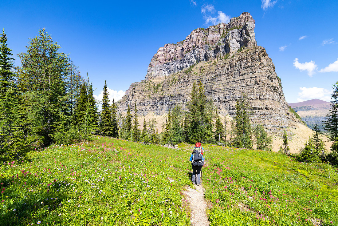
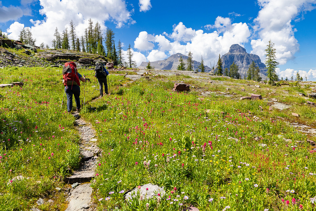
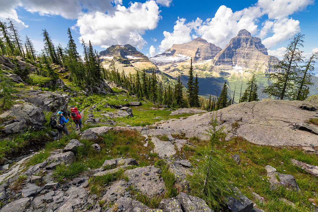
We stopped in the shade just above the campground for a snack, looking across the valley at the trail winding higher toward Boulder Pass. As we finished, the sun crested the ridge and lit up entire fields of wildflowers—like a curtain lifting on the day’s stage. I’d hiked this stretch back in 2010, when it was late fall, overcast, and mostly brown. This time, it was everything I remembered and so much more. I found myself pausing every few minutes to snap another photo from a slightly new angle. This stretch of trail might just be my favorite in the entire park. Even now, writing about it, I get goosebumps.
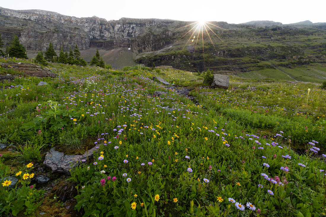
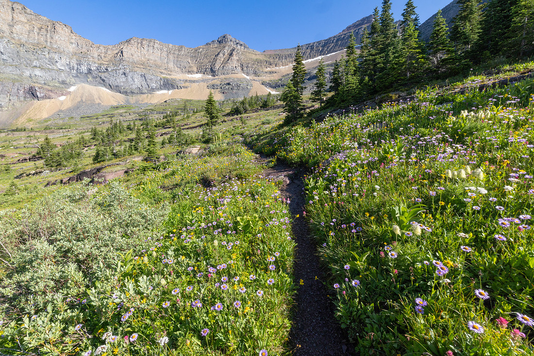
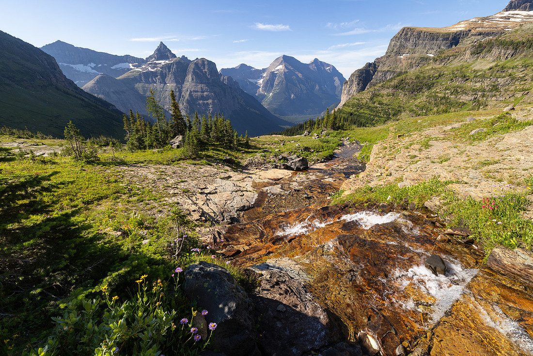
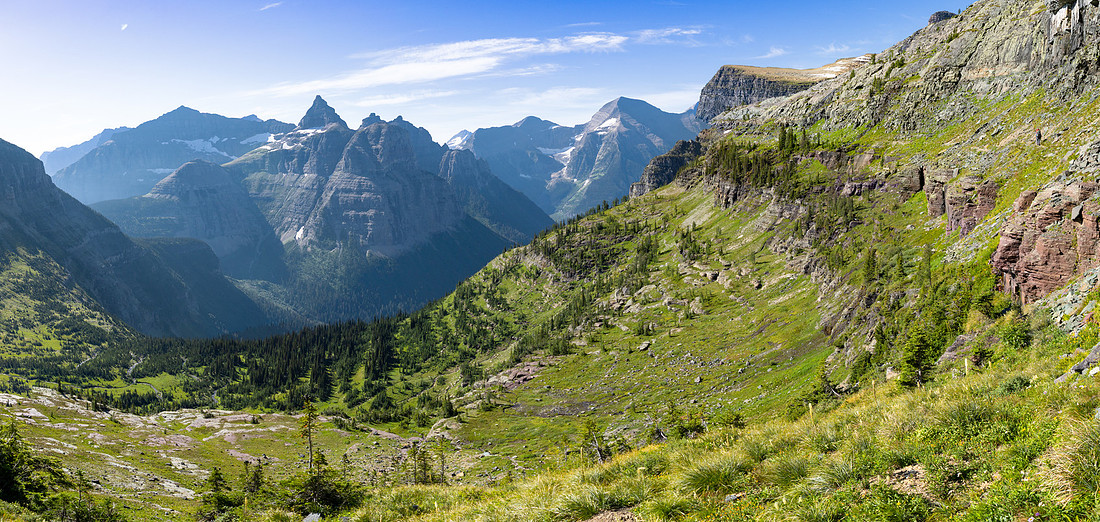
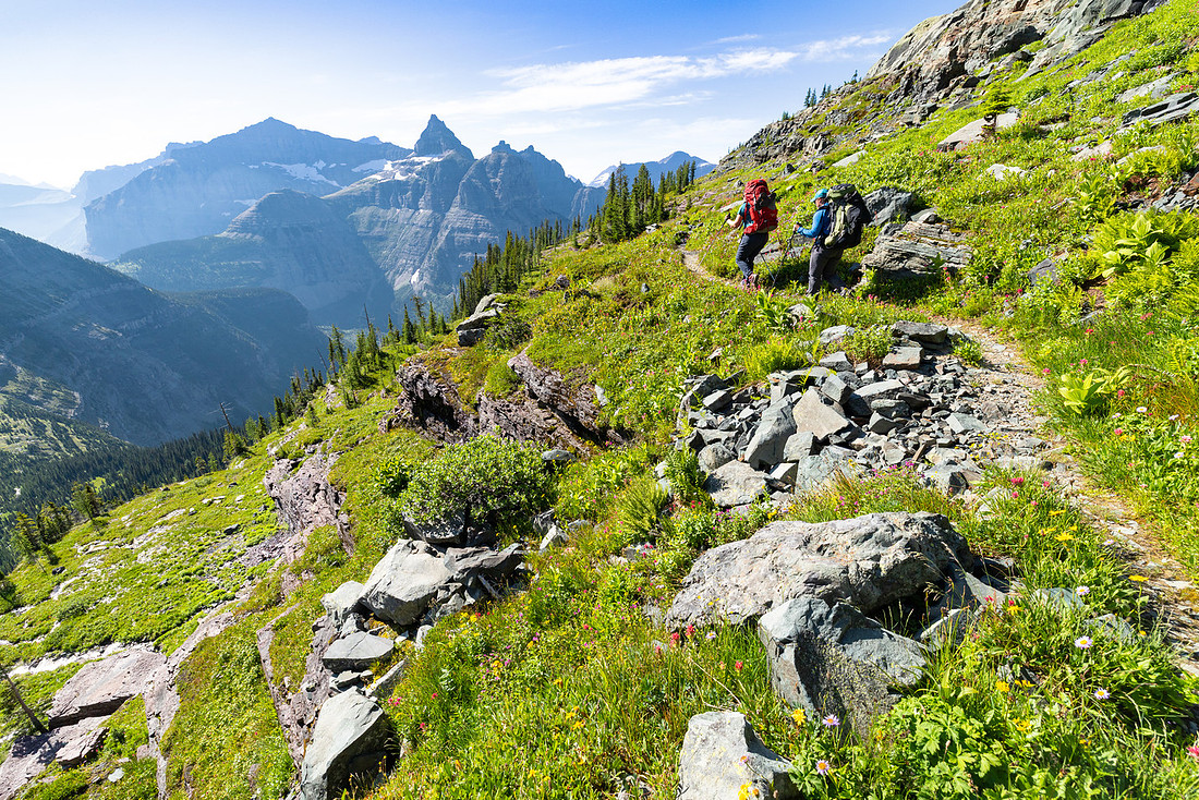
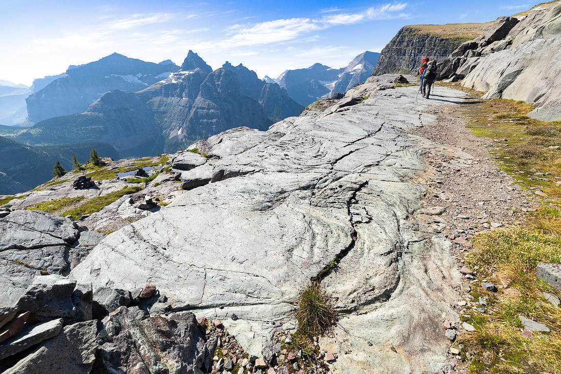
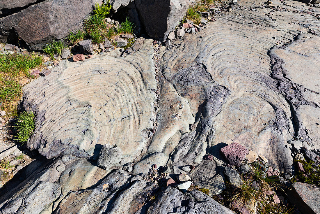
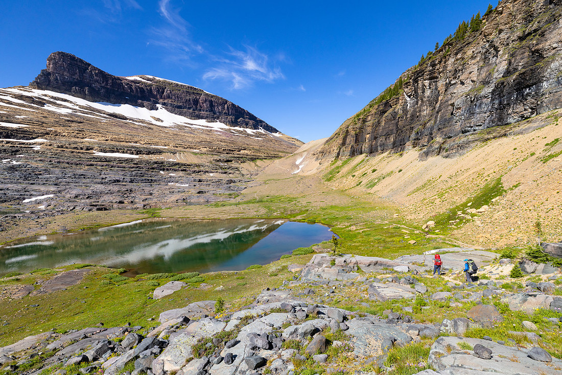
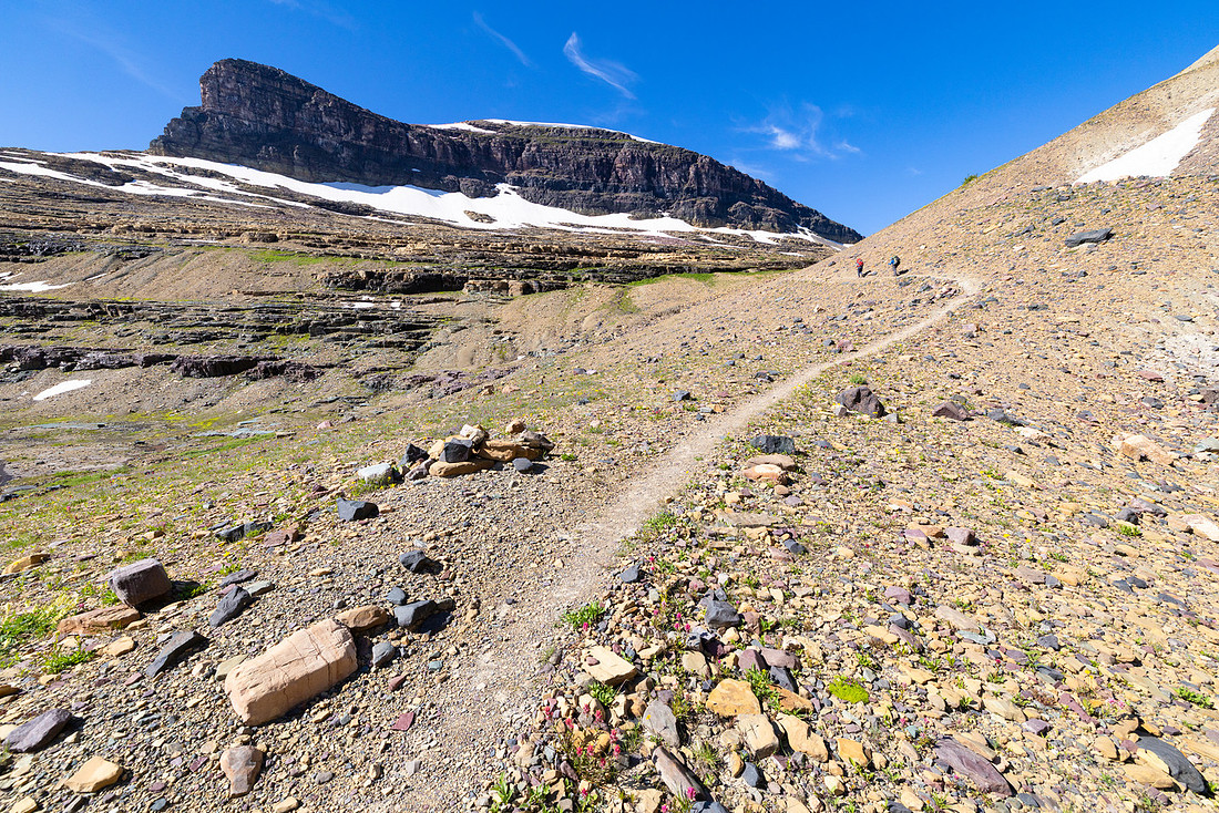
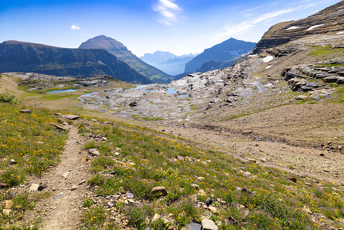
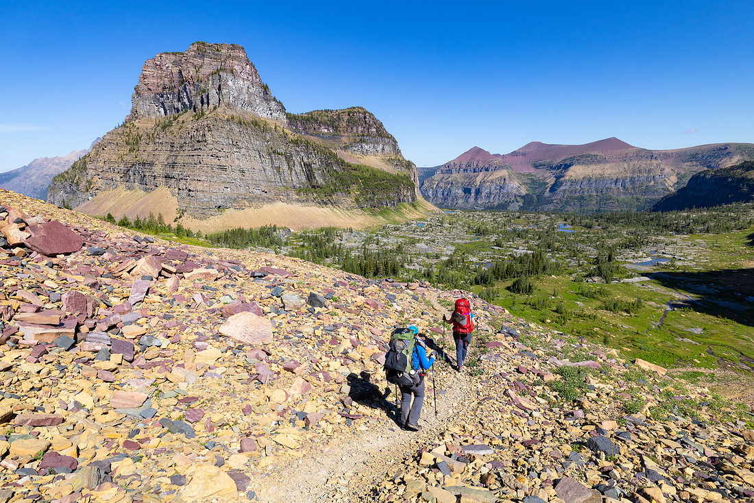
At the pass we stopped for lunch and to filter water. A rufous hummingbird buzzed around us as we celebrated finishing the last major climb of the trip. From here on out it was literally all downhill—well, mostly.
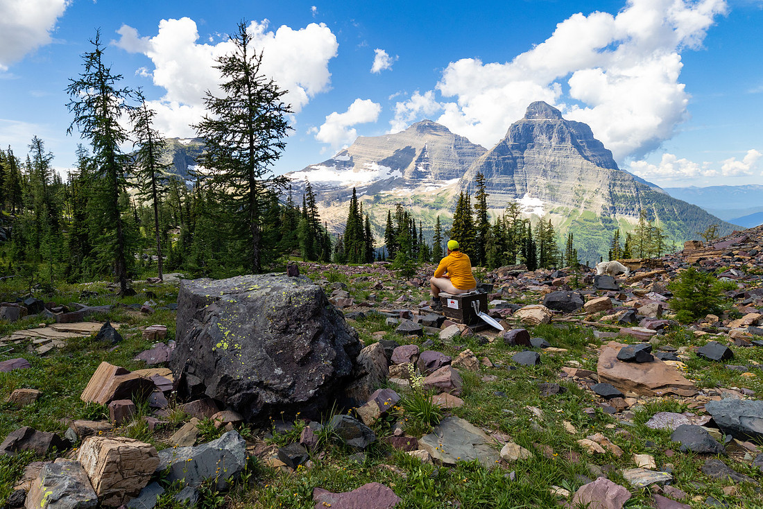
One memory I carried from my 2010 hike was Boulder Pass’s famous lowrider toilet. It has to be the most scenic toilet in the backcountry—the undisputed #1 #2 spot. I convinced the group to make a quick detour, and given how much we’d been eating on trail, I had the perfect excuse to stop.
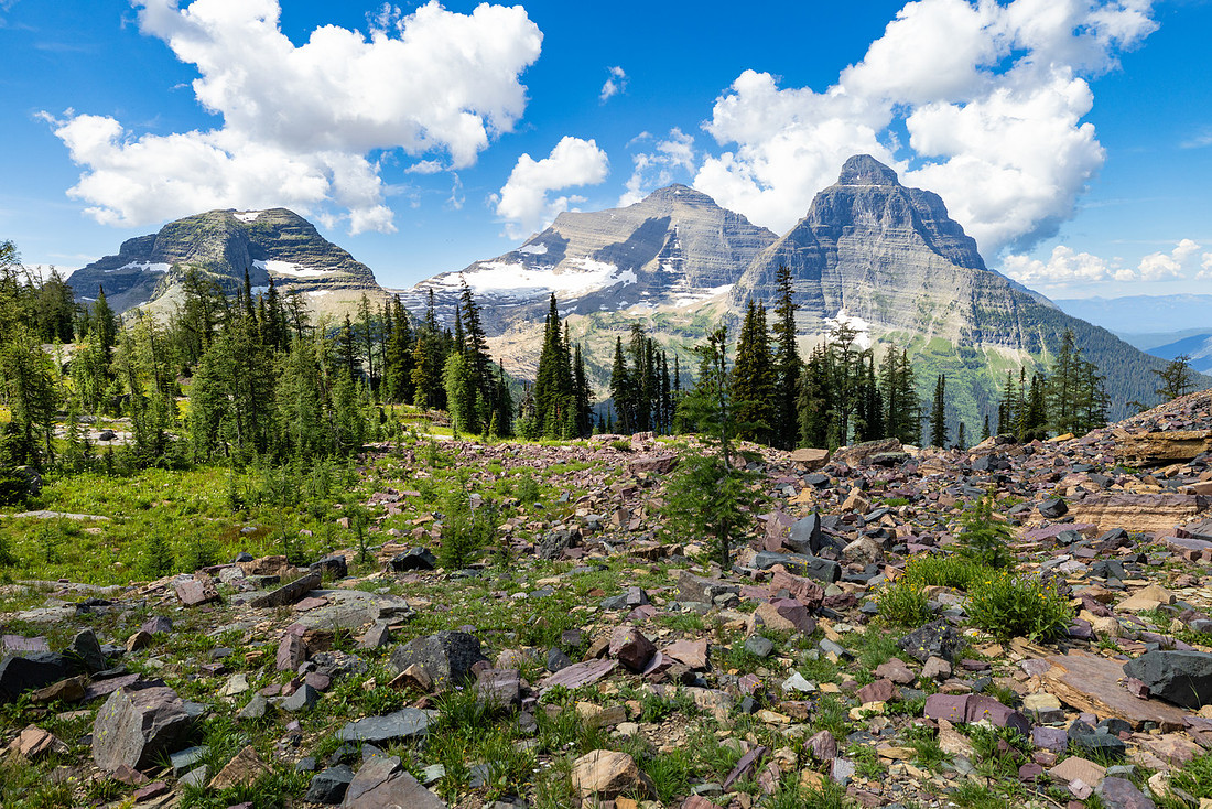
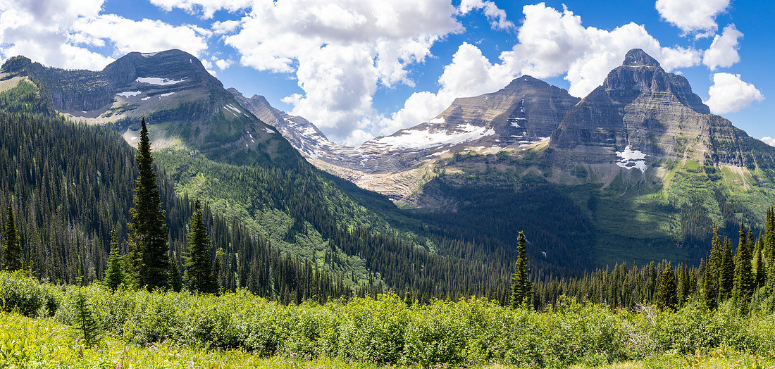
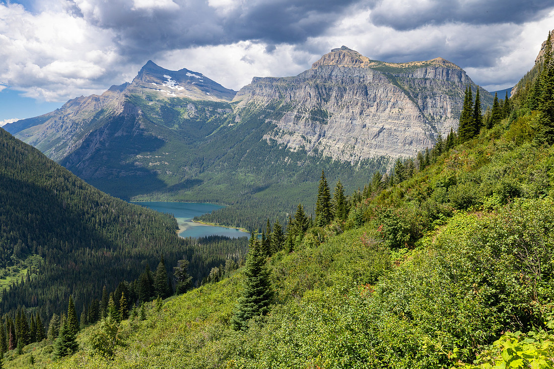
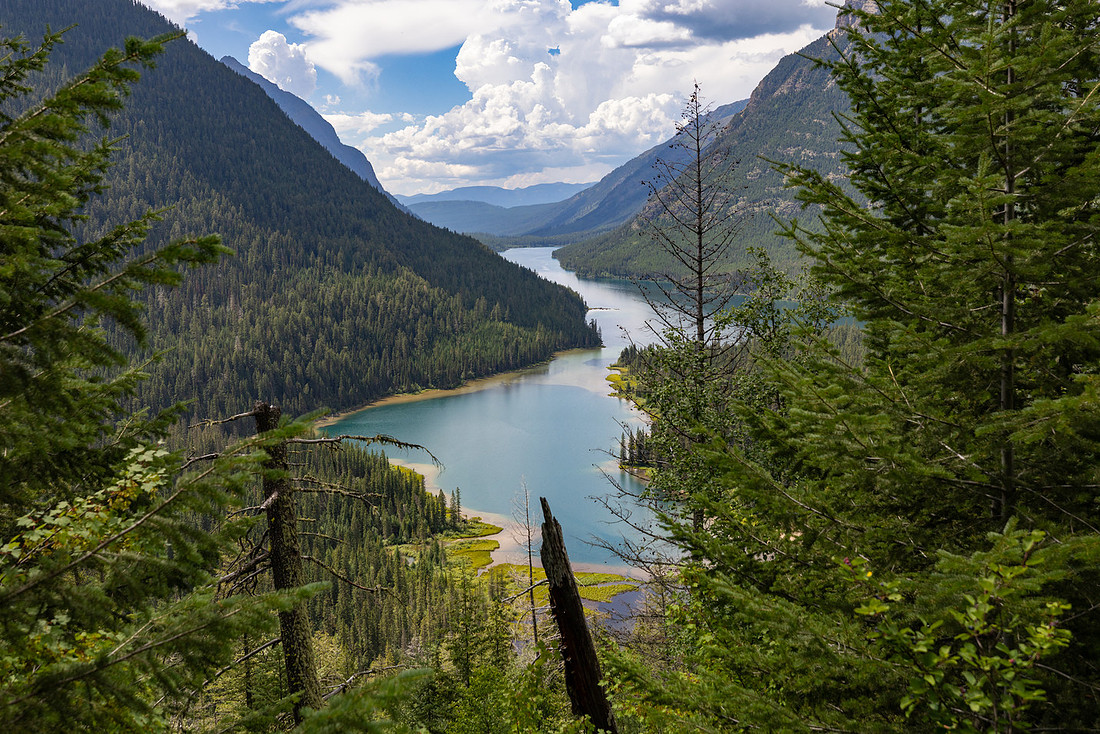
From there we began the long descent to Upper Kintla Lake. In places, the trail was so overgrown and clung so tightly to the slope that one wrong step would send you tumbling a good ways down the hill. Probably not fatal, but definitely painful. Eventually, the trees parted and we caught our first glimpse of the lake glistening below. Not long after, we arrived at camp.
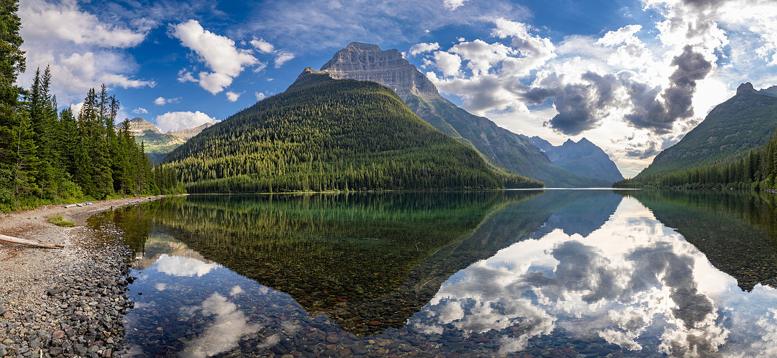
Spirits were high. Hanging food now only required two of us, tents went up smoothly, and we wasted no time jumping into the lake to cool off. Thunder rolled through the mountains soon after, and we retreated to our tents for an afternoon nap as the rain pattered softly overhead.
By evening the storm passed, and we spent the night on the lakeshore—chatting, laughing, trading stories, and soaking in every last bit of wilderness beauty before the trip began winding down.
Day 7: Upper Kintla → Kintla
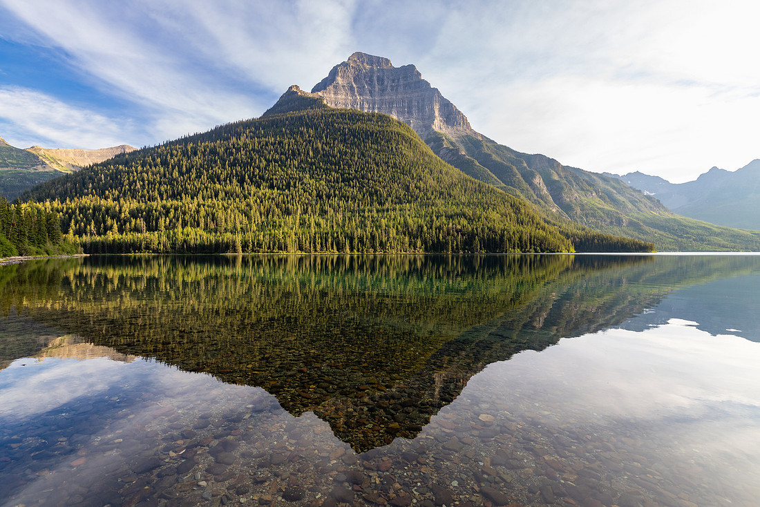
The next morning I woke up early to catch the sunrise, even though we had planned to sleep in.
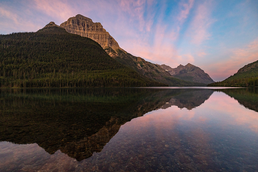
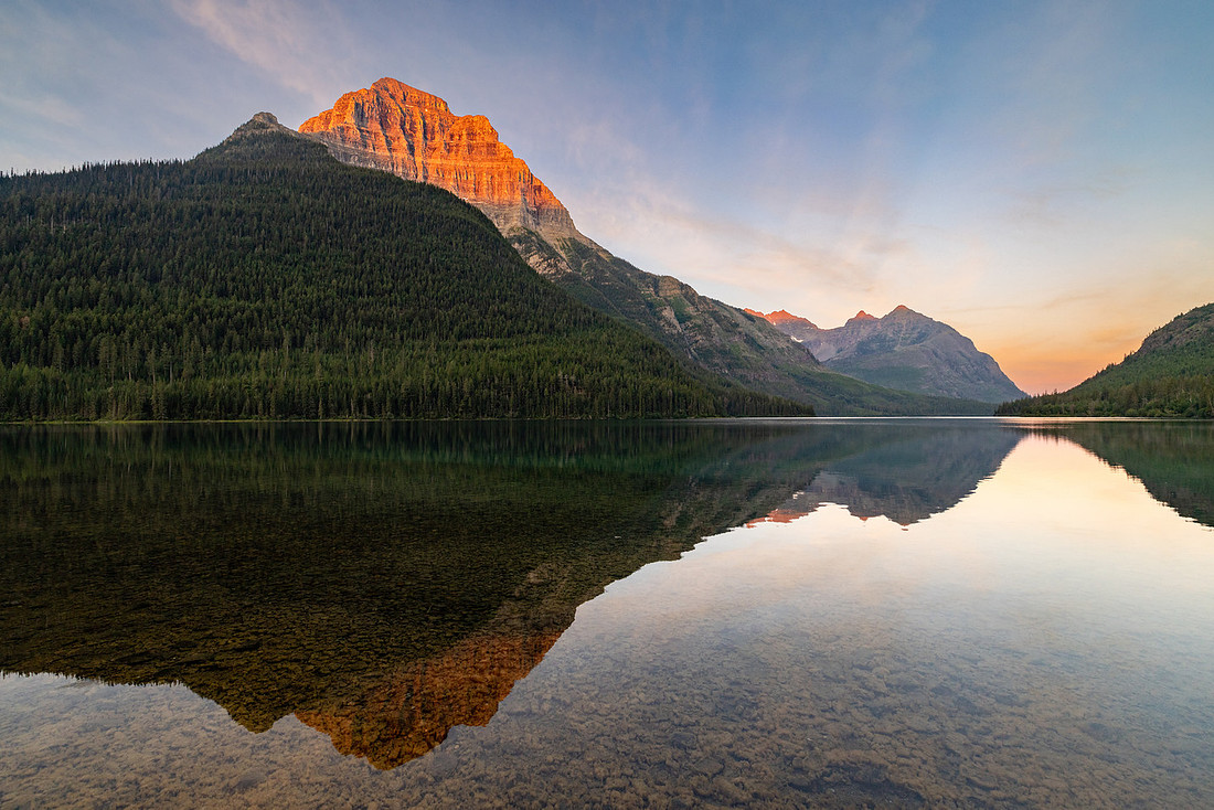
We didn’t hit the trail until after breakfast around 8:30, and then made our way along the five or so miles to Kintla Lake. The hike had a few nice viewpoints—including a glimpse of the lake’s foot—but for the most part the trail wound through thick trees.
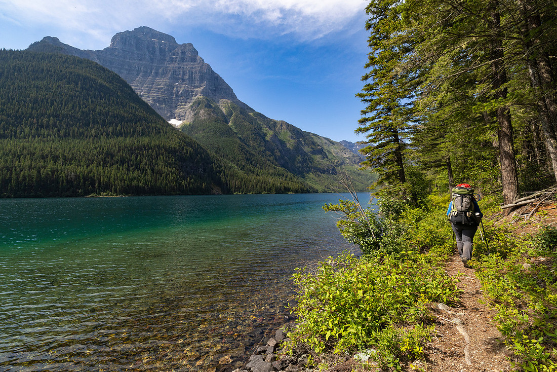
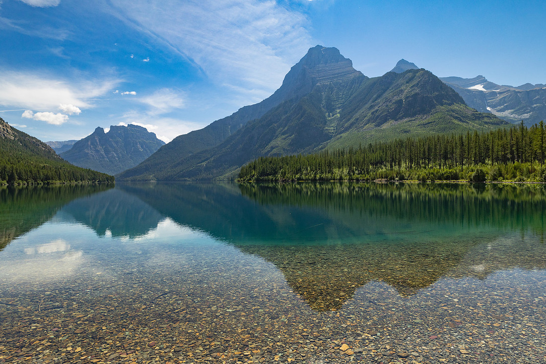
When we reached camp, we set up quickly and decided the rest of the day would be all about relaxing. We headed to the beach, swimming and soaking in the sun. Garter snakes skimmed across the surface of the water chasing insects, and we watched in awe as one dove beneath a rock and surfaced minutes later with a sculpin in its jaws—the wildlife highlight of the entire trip.
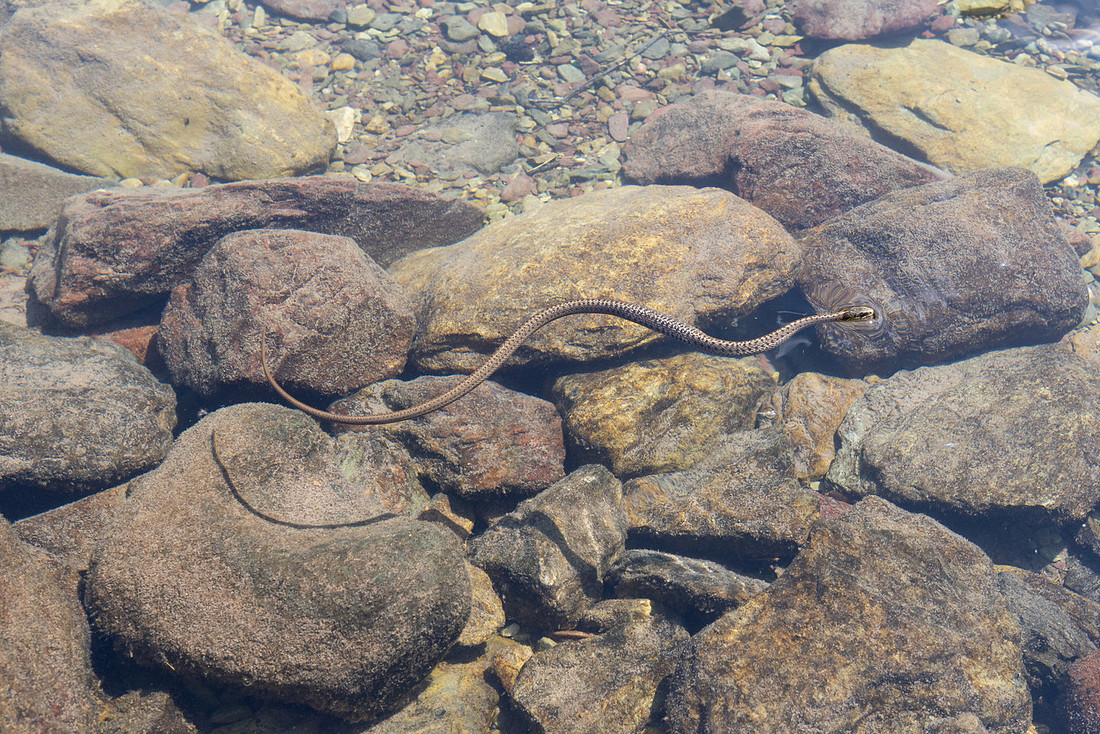
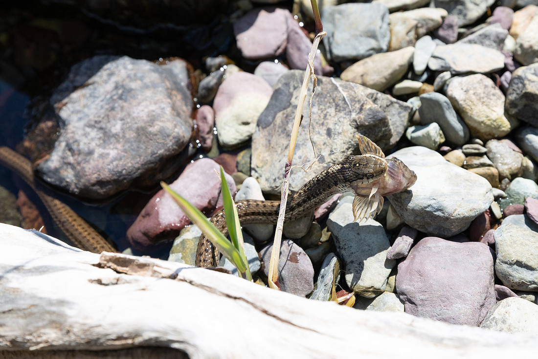
The day passed in an easy rhythm that felt like an iconic Montana summer. The water at Kintla is warm enough that, on a sunny day, it’s pure pleasure to sit waist-deep and let the waves lap against you. I threw on a hat and sunglasses, waded around for a while, then laid out to dry—repeating the cycle again and again. It’s the kind of simple joy I miss most about living here. That evening the sunset wasn’t much to speak of, but none of us minded. We knew it was our last night on trail, so we dug into a stash of candy bars and lingered on the beach until nearly dark, savoring both the views and the moment.
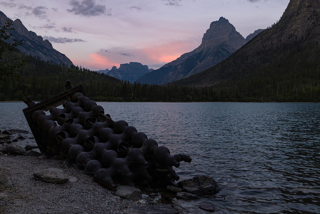
Day 8: Kintla → Kintla Trailhead
I woke up for one last sunrise. It was fairly windy, but just before the light hit the mountains it died down. I was able to take some reflection photos, before a family of otters and mergansers swam by the campground and disturbed the calm surface.
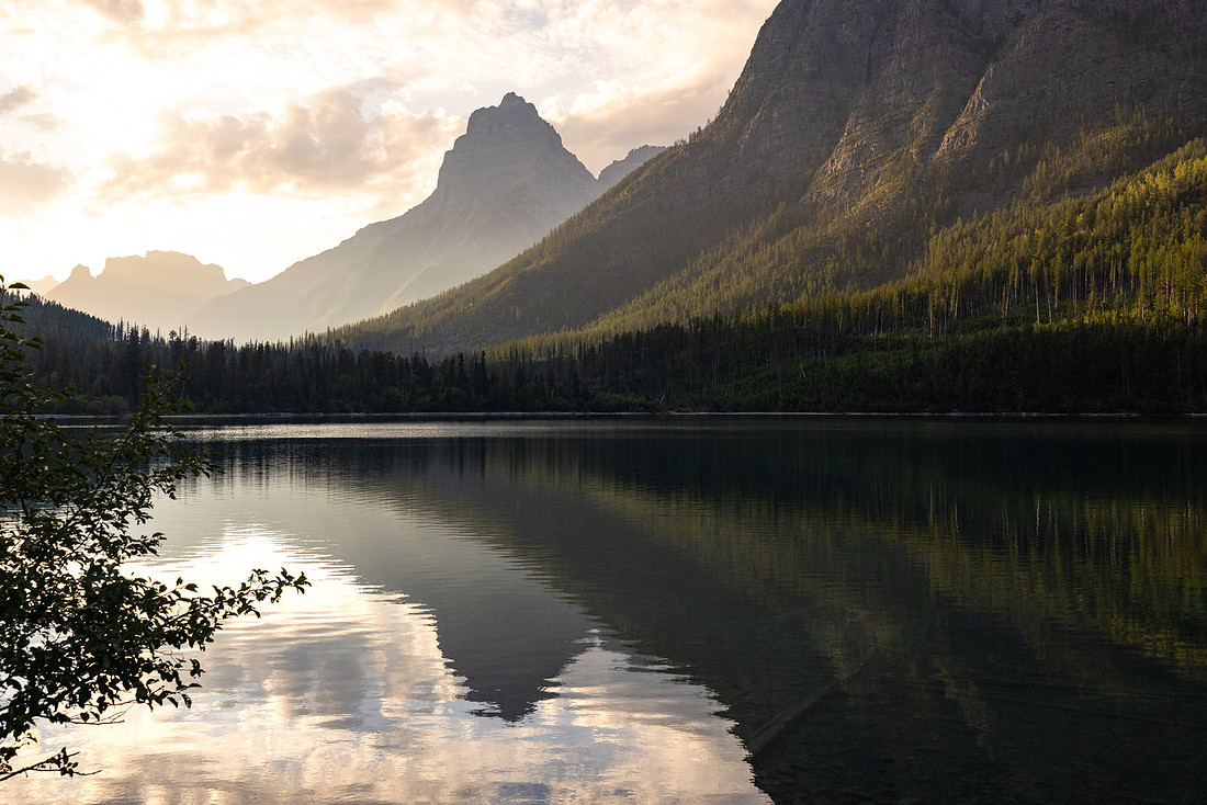
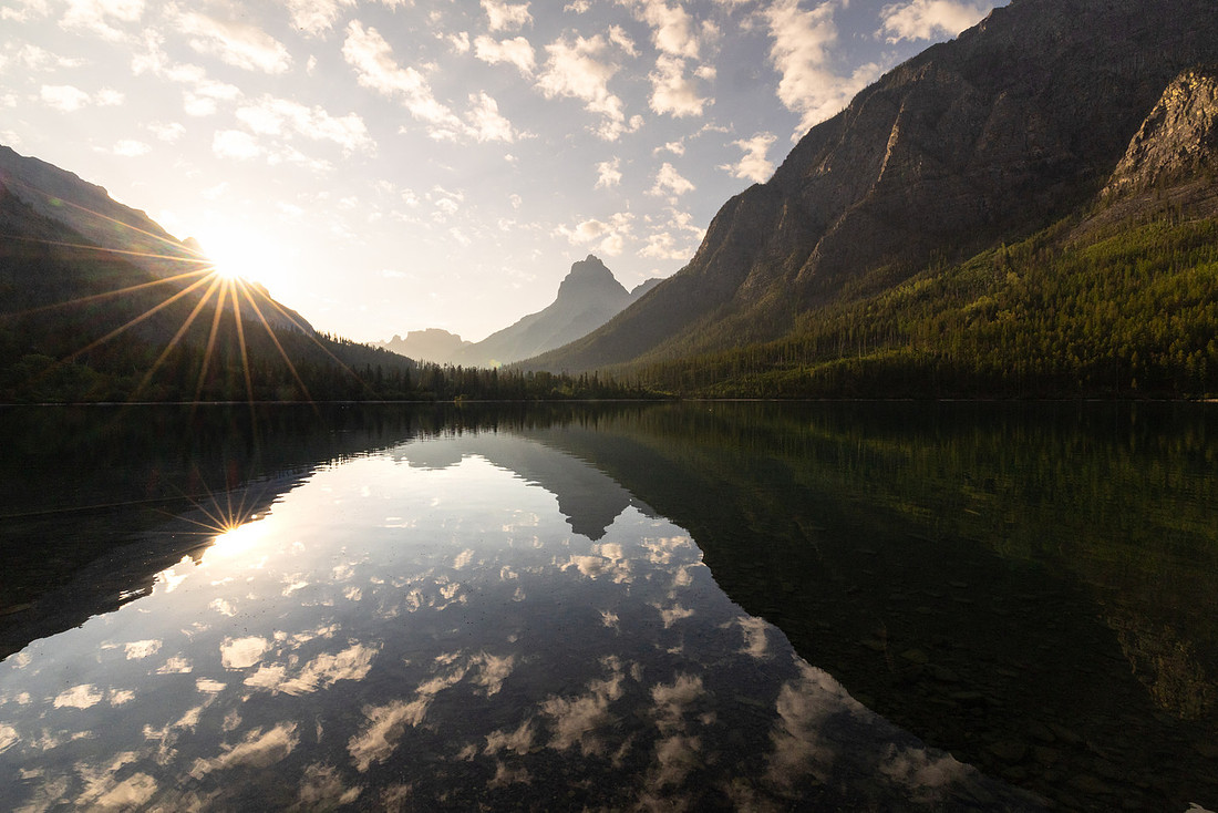
Before the trip began, I had sent our itinerary to an old friend who lives in the area, just in case he wanted to meet us for our last night. When we didn’t see him, we figured it hadn’t worked out. So the next morning, when he suddenly appeared in a boat with room to spare, we were caught completely off guard. Corrie and Jen debated hiking out for the sense of closure, but after some back-and-forth we all climbed aboard, deciding we’d much rather take in the sweeping lake views from the water than walk through another stretch of trees.
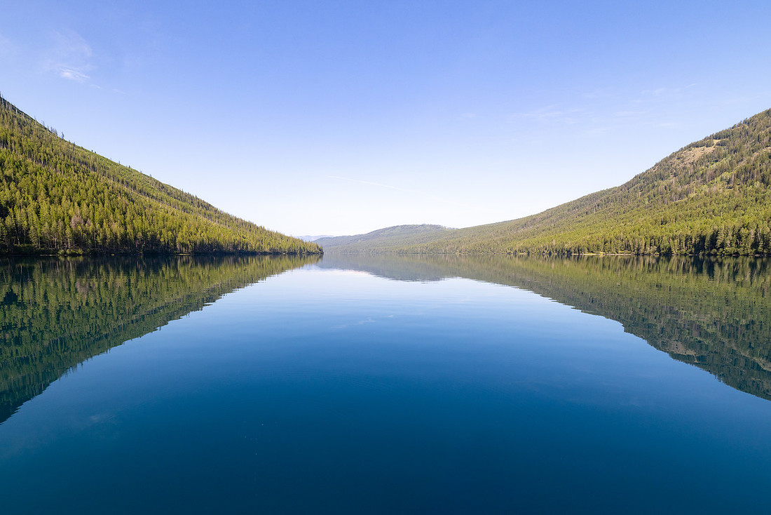
A faint haze lingered in the air as we cruised along, but nothing that dulled the scenery. Slowly, we traced our way back down the length of Kintla Lake, savoring the calm of the water until we finally pulled up on the beach at the foot. Just like that, our odyssey was complete.
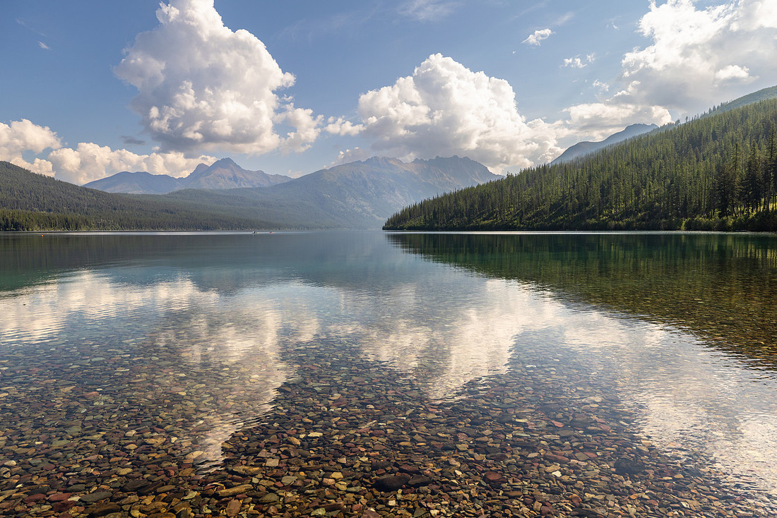
At the campground, our friend surprised us again with a bottle of wine, and we raised a toast to a trip that had given us everything we could have hoped for—perfect weather, great friends, unforgettable views. Not long after, Jen’s family met us with a cooler full of beers and snacks, and we spent one last afternoon picnicking and swimming on the shores of the North Fork. Clouds gathered overhead, and by the time we packed up, the first drops of rain began to fall. The storm rolled in over the next few days, but for us, the timing couldn’t have been more perfect. It felt like the park had given us a window—just long enough for the trip of a lifetime.