Natural Bridges National Monument
Hey everyone,
I had the opportunity to visit Natural Bridges National Monument for the second time. But before I get into this trip, I wanted to share about my visit from the first trip. It's one of my more memorable stories of what NOT to do.
Back in 2010, a friend and I went on a 30-day road trip and one of our stops was Natural Bridges. We arrived later in the evening and the campground was already full. There are lots of BLM primitive camping spots in the area so we drove out of the park and found a spot for the night. The next day we packed up camp, headed back to the park to hike. The full loop is 12-miles and passes all three natural bridges as it winds through the canyons and over the mesa top. This trail is "primitive" and strenuous.
We popped into the visitor center to ask about maps and trail conditions. The volunteer behind the desk told us the trail is "easy to follow" and there were signs at the junctions. We were in good hiking shape, so for 12 miles we planned to take about 6 hours with lunch and photo stops. We left the visitor center about 9:30am and were on trail by 10. That meant we should be leaving by 4pm, at the latest.
We dropped our car off at Sipapu Bridge Trailhead and hiked down into the canyon. After a quick descent, we arrived at Sipapu and took some photos. We continued on for a couple miles until we came across Horse Collar Ruins. We popped in to check out the rock art and ruins and then continued along the route. Not long after we arrived at Kachina Bridge and stopped for lunch, on schedule.
As we started hiking again, the route came to a dead end at a pour spout. We looked around for a way out, then backtracked to Kachina Bridge and looked at our park brochure "map." We agreed that the route on the map looked like it went that way, but we couldn't figure it out. Back at the lunch spot we found a set of footprints. Even though they were going a different direction than what we thought was correct, maybe these people knew where they were going. Off we went.
This section of the route was more challenging than the other sections we had done to this point, but it was still doable and the trail description was "strenuous." After winding through the canyon for an a couple hours, still no bridge. "Maybe it's just around this next corner," we said to ourselves. The day was so nice and it was early so we didn't really think too much of it. Fast forward another hour and we started getting a little worried. We made a plan, if we don't see the bridge in another 15 minutes, we would turnaround and hike back to Kachina. Just as we're discussing our plan, we heard voices in the canyon. It was the people whose footprints we had been following. I yell out to get their attention. They call back and I look up and see two tents on a bench. Shit.
Tents are a bad thing to see because there's no backcountry camping in Natural Bridges. That means we're probably not in Natural Bridges. I climb up to the group and explain our situation. The camper holds up a map (the one we were told not to buy in the visitor center) and uses it as a prop to illustrate that we're off the map by about two inches. After some quick calculating, we determined that we had hiked about seven miles in the wrong direction. So our 12 mile day just turned into a marathon, because the only way out, was the way back. The group offered to fill up our water and we started hiking as fast as we could.
About five miles later it started drizzling on us. Which wasn't terrible since we were hot and tired. When it started pouring, it was less fun. Especially since I didn't bring a rain jacket. The weather wasn't calling for rain until later in the day and we would be off trail by then. When we made it back to Kachina Bridge it was dusk, but the storm made it darker than normal. The silver lining is that there were more footprints this late in the day and it turns out that the trail climbed out of the canyon. For whatever reason we didn't see the trail and it wasn't marked very well. More on that later.
As we climbed out of the canyon, there were occasional cairns marking the route across the sandstone. Unfortunately, I also forgot my headlamp, because we were only planning on hiking until late-afternoon. My friend had hers, so when we found a cairn, I would stay next to it while she walked around in the dark and pouring rain looking for the next one. After doing this for about an hour we finally made it to the Kachina Bridge Trailhead where we walked back to my car along the road.
Right around 10pm, we made it back to my car and the rain to let up a little bit. We changed our clothes, made dinner, then drove back to the BLM campground from the night before to set up camp. We were able to get our same spot again, but this time it was a little muddy. Once our tent was setup and we were in our bags, the rain picked up again, harder than before. Unfortunately, we set up our tent in what appeared to be a runoff channel or something because our tent started to flood with water and red mud. So we jump out of the tent, grabbed the trowels, and started to dig a moat. After a while of that we were able to channel the water and mud away enough that it stopped going into the tent.
The next morning we got up at first light to break camp. With little to no sleep, we headed back to the park to use the restrooms to dry our stuff and make breakfast. We decided to stay until the visitor center opened again to see if we could chat with the guy from the day before. Sure enough, he was there and we filled him in on our exploits from the previous day. He said with the rain the previous two day, there was some flooding in the canyon that washed away some of the cairns and trail signs. Cool. If only we had a map...
That trip I learned a lot about what you should bring hiking no matter what. And I learned that I could hike a marathon through canyons and rain in the dark if I needed to.
Enough with the horror story...
I was back and looking for redemption. We planned to do the full loop, this time in reverse so I could see if the Kachina section was easier to navigate going the other way. And, I could finally see the last of the three bridges, Owachomo. We arrived from Monticello late that evening and set up camp. Now that I'm into night photography, I figured Owachomo had the best alignment for Milky Way photos. We hiked out in the dark and we weren't disappointed. I think it was one of the darkest skies I had ever seen. Once our eyes adjusted, you could see your shadow agains the slickrock from the light of the stars. After an hour or so we headed back to camp to catch some sleep for the hike the following morning.
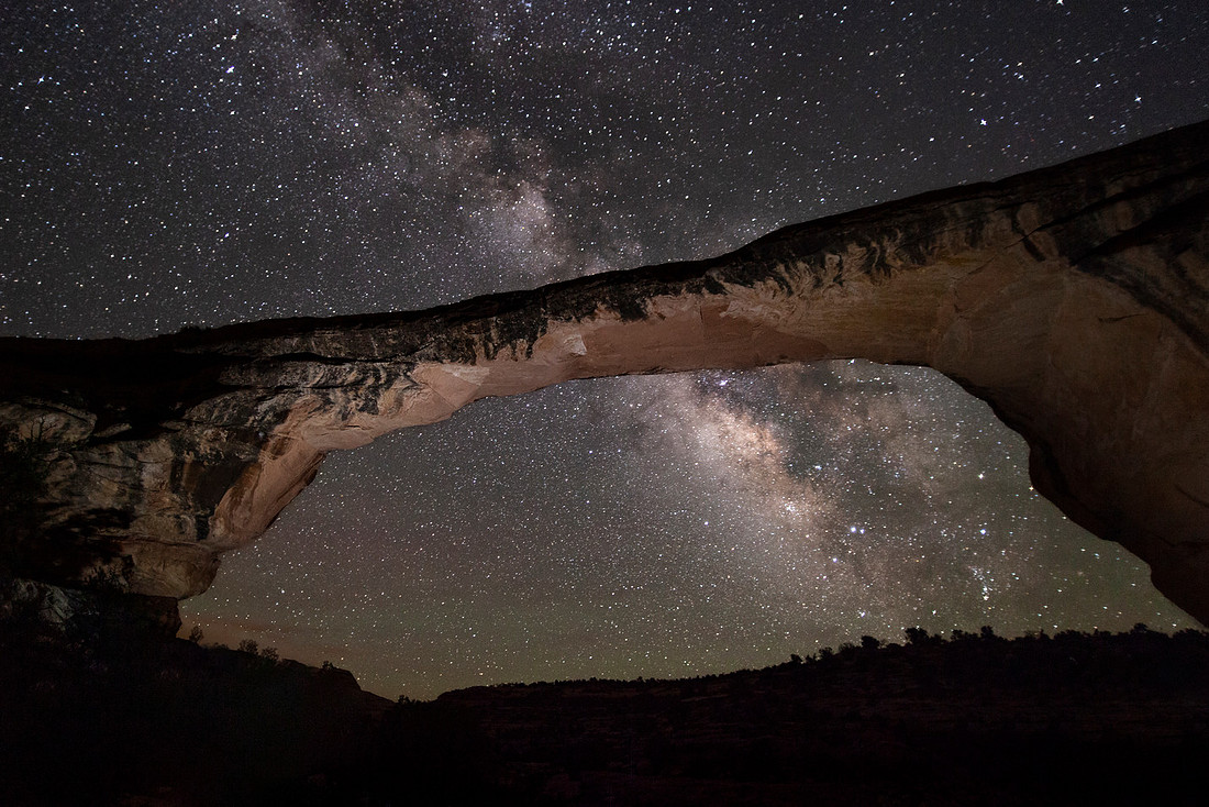

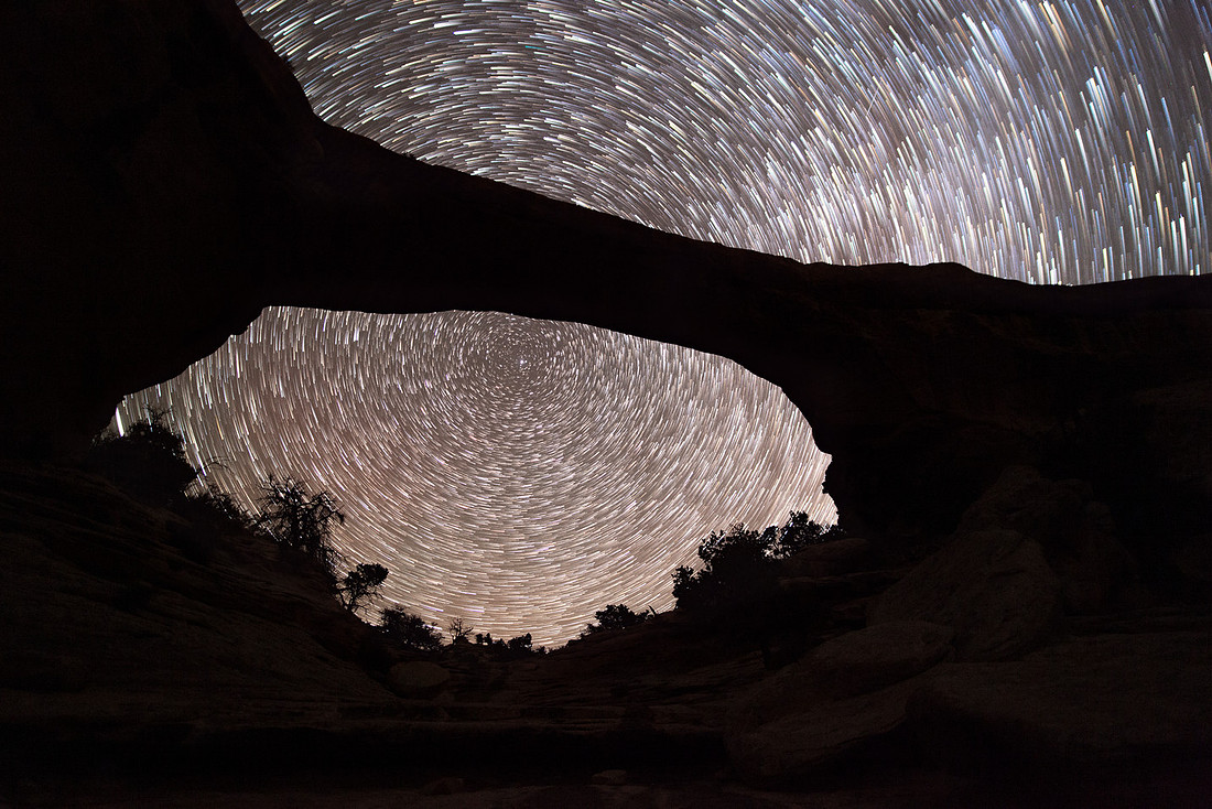
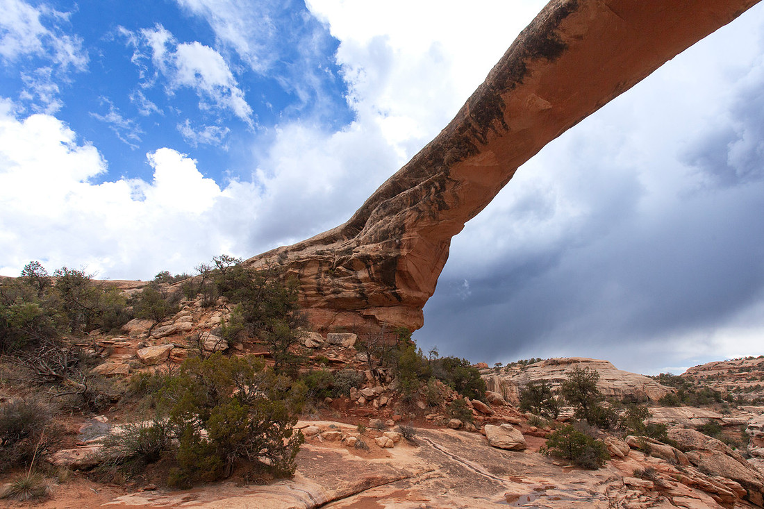
We hiked back to Owachomo to take in the views during the day. It's the "oldest" of the three bridges, meaning that it's further along in its life of erosion. Kachina is the youngest and Sipapu is between the two.
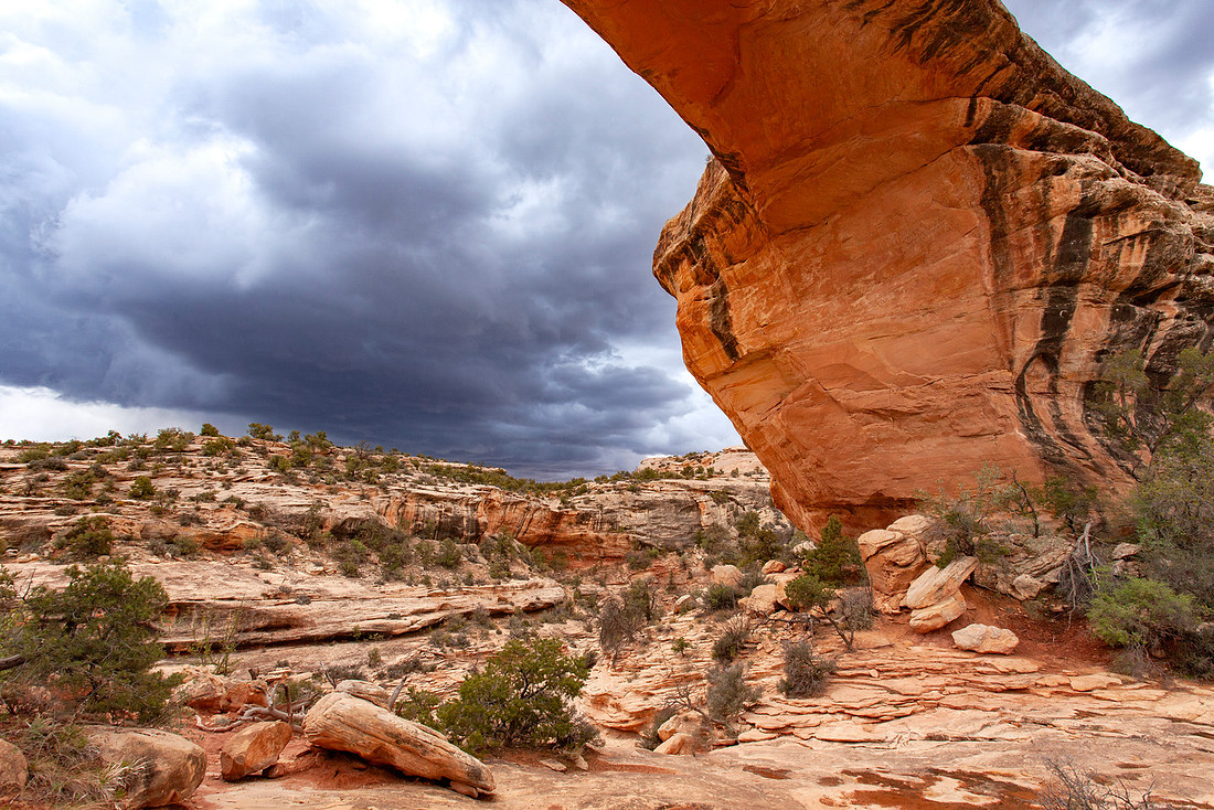
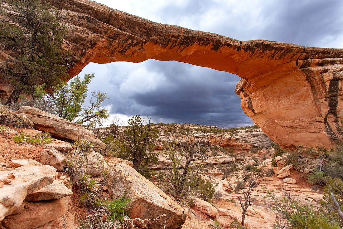
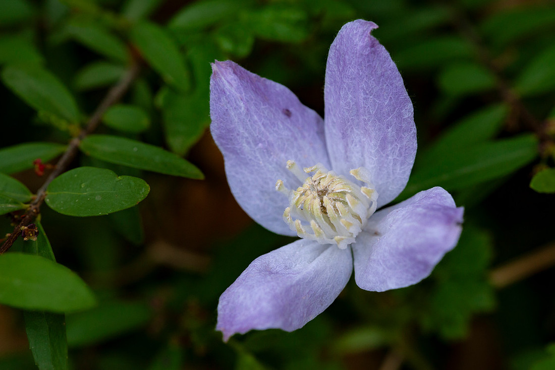
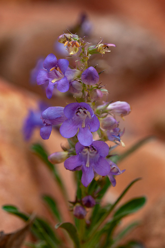
After exploring around and taking in all the angles, we started hiking towards Kachina. The other cool thing about this trip versus the last, is that the wildflowers were in bloom this time. It's always cool to see flowers in the desert.
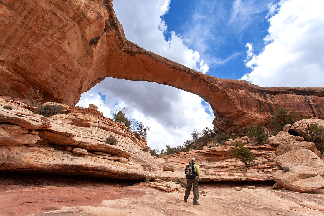
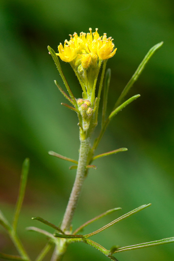
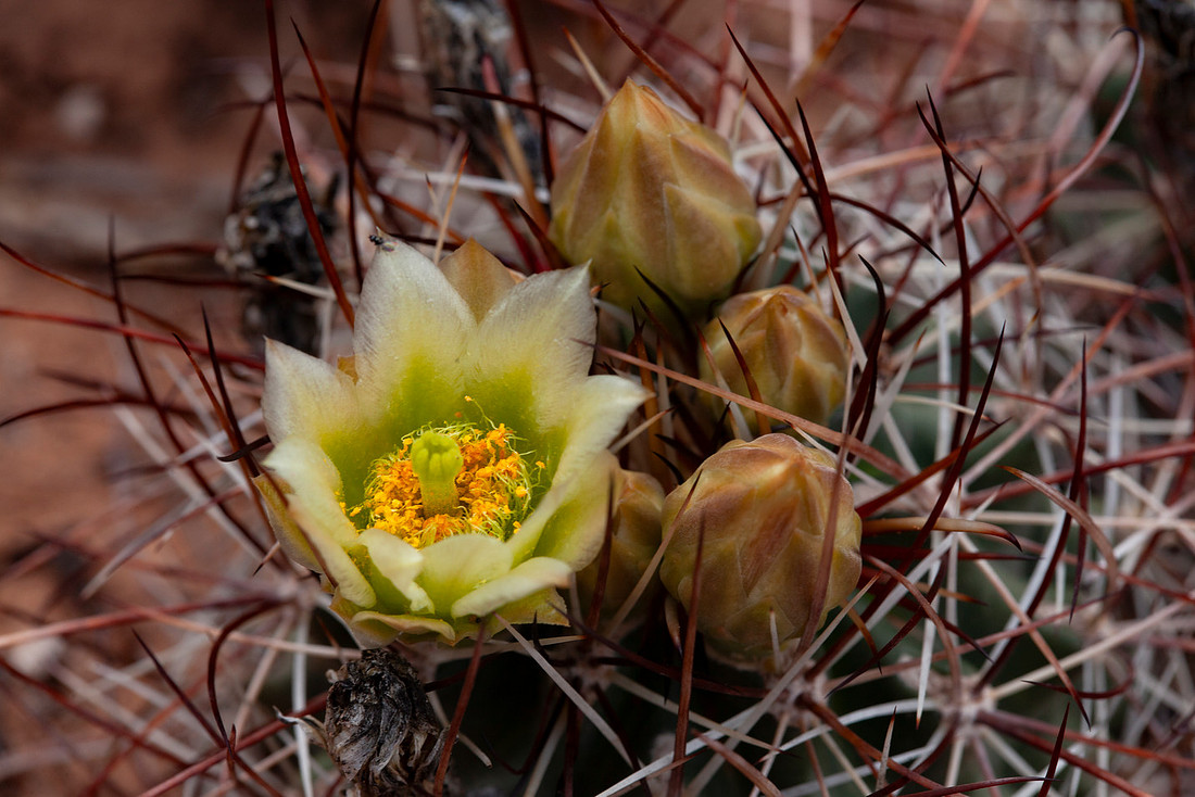
The trail from Owachomo to Kachina is though Armstrong Canyon. Not super steep walls, but beautiful scenery to keep your attention while you hike.
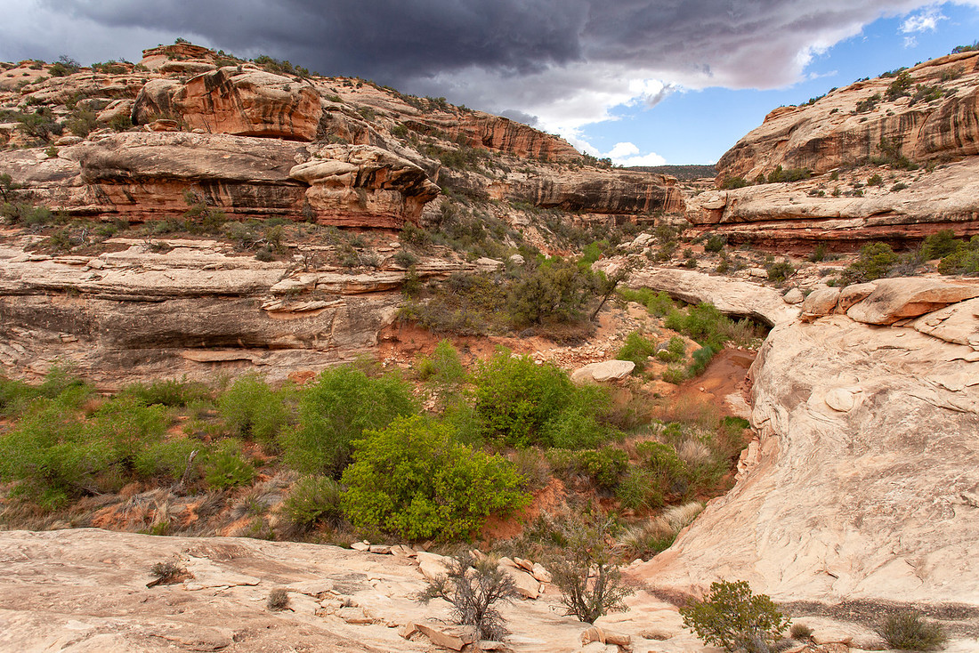
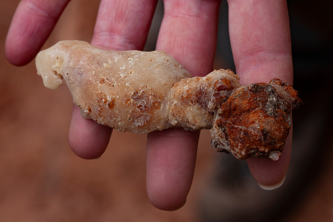
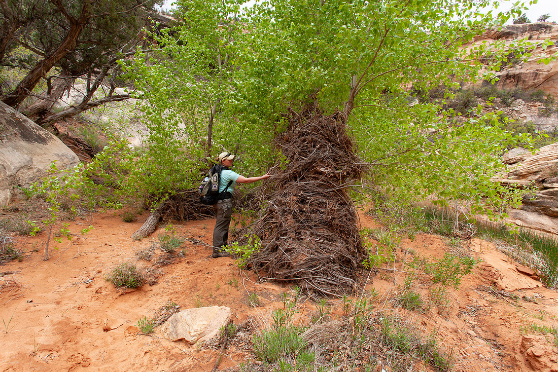
We also found some interesting things along the way, including a giant clump of tree sap and a tree full of debris from the last flash flood. It's crazy to see how high the water can get, even in a canyon that doesn't slot out.
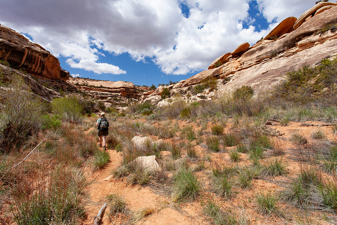
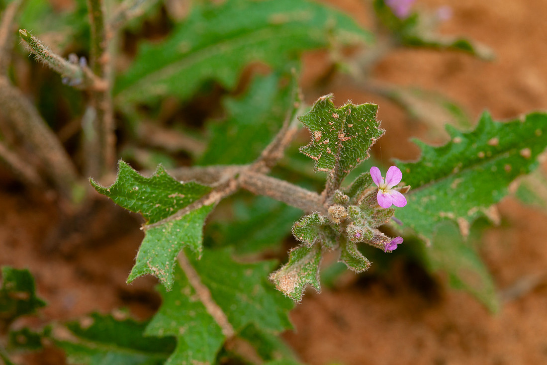
And we saw more wildflowers.
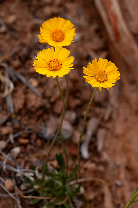
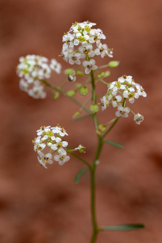
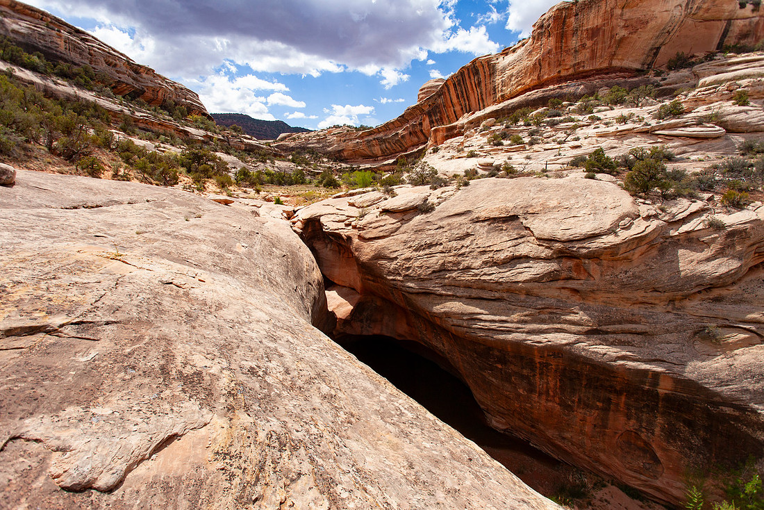
Eventually we made it to the spot in the trail we got turned around last time. Just as I remembered, there was a giant pour spout without any apparent way down, or up. This time, there were cairns and signs marking the way. This time the trail was "easy to follow."
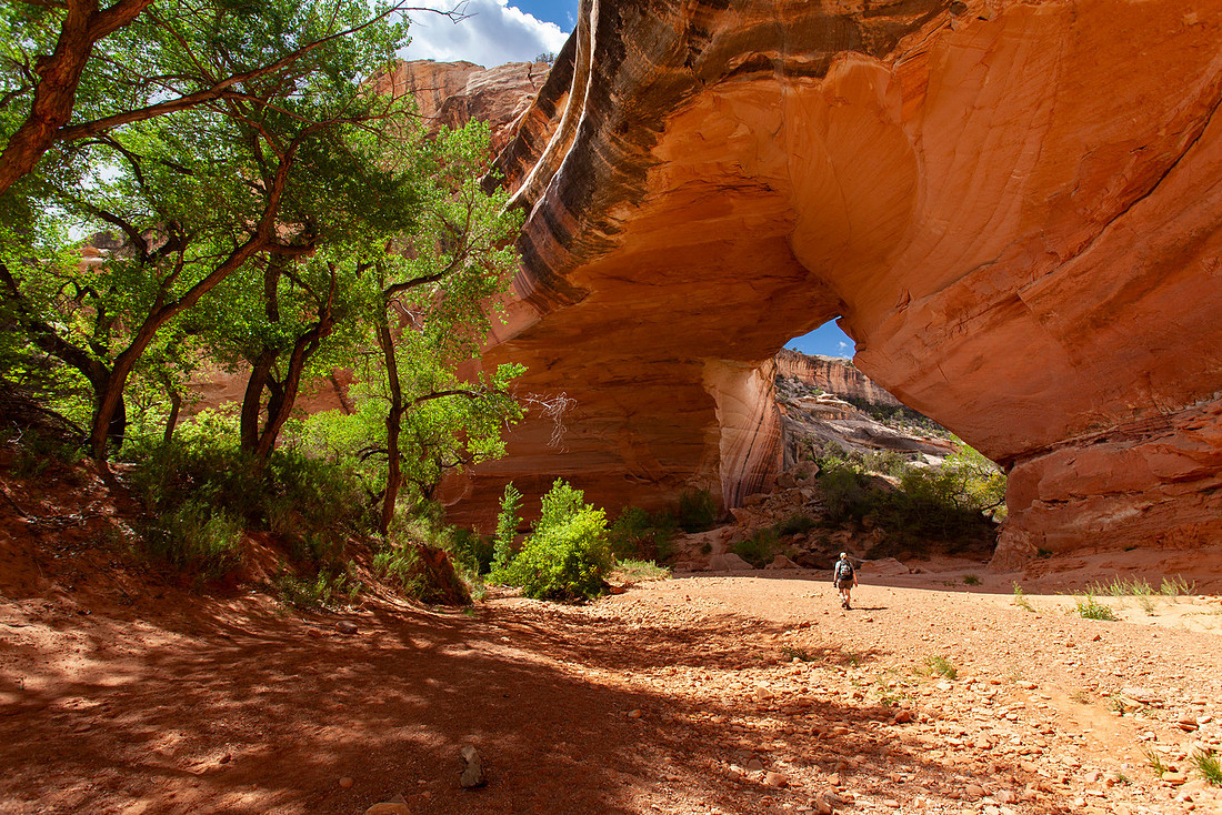
We hiked up to Kachina and like last time, we decided to sit in the shade of the bridge and have lunch. I was able to give Corrie the play-by-play from the previous trip, where she pretended to understand how we could have gotten so lost on this "easy to follow" trail.
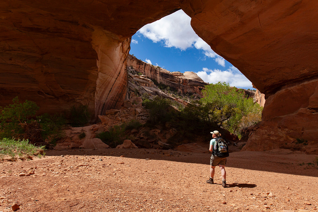
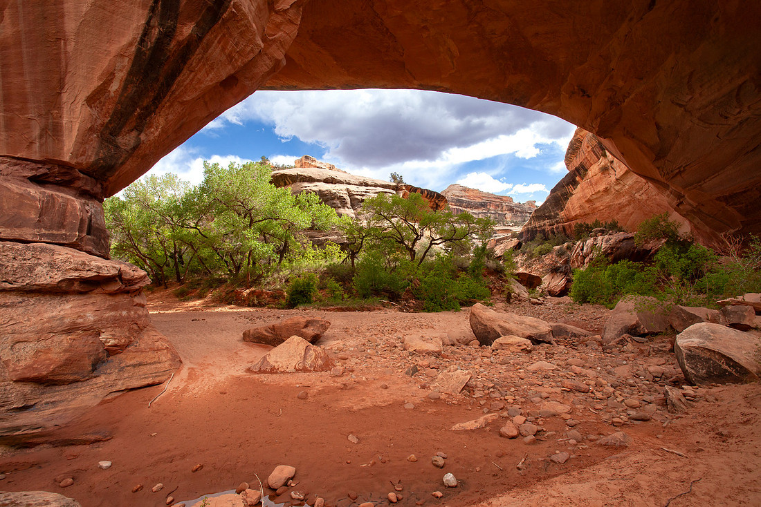
After lunch we continued up canyon, headed towards Horse Collar Ruins. We saw more flowers and a cool old crooked cottonwood tree that had fallen over.
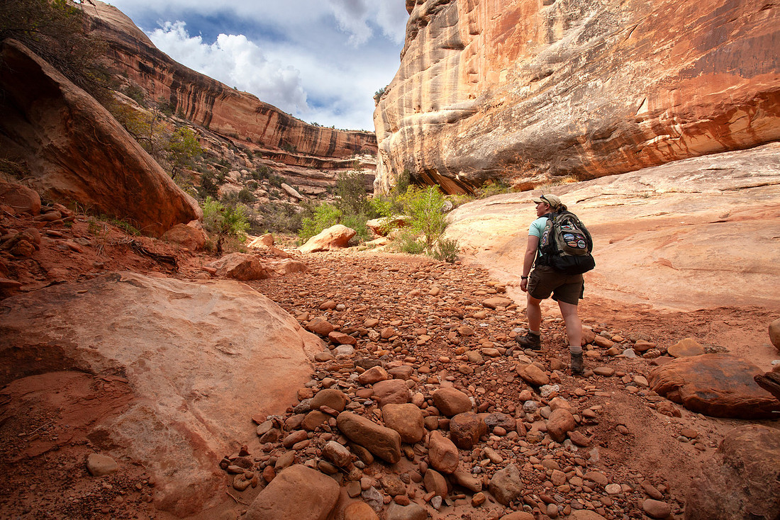
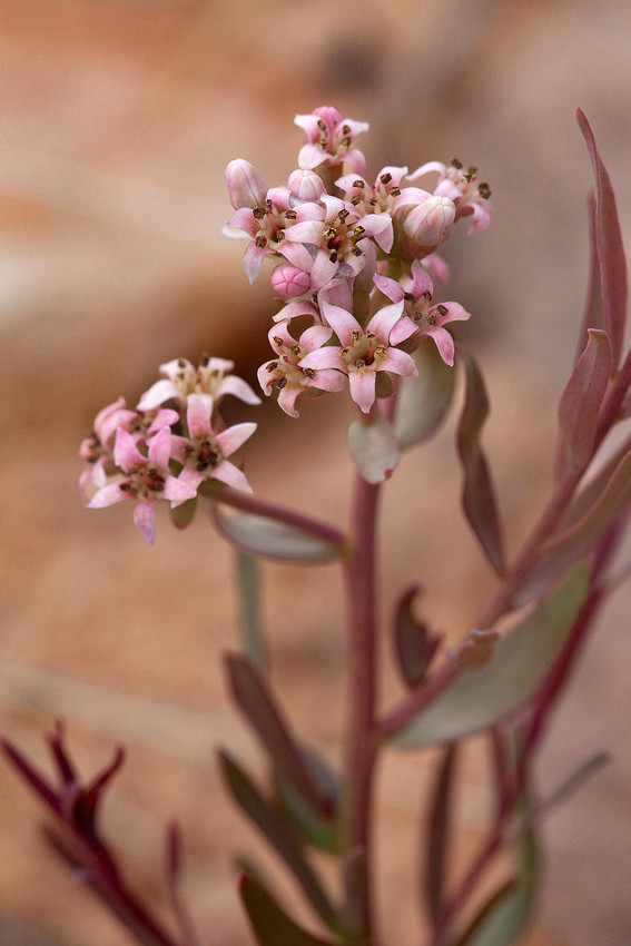
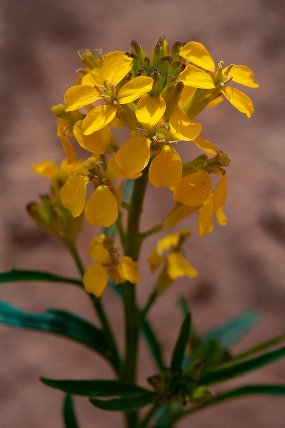
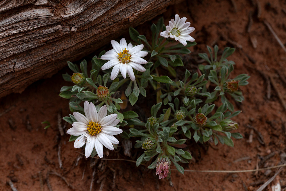
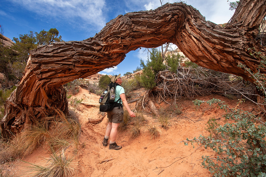
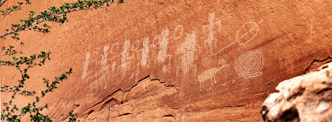
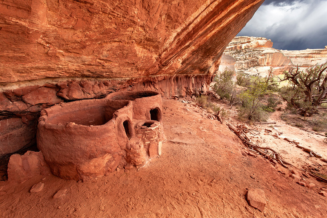
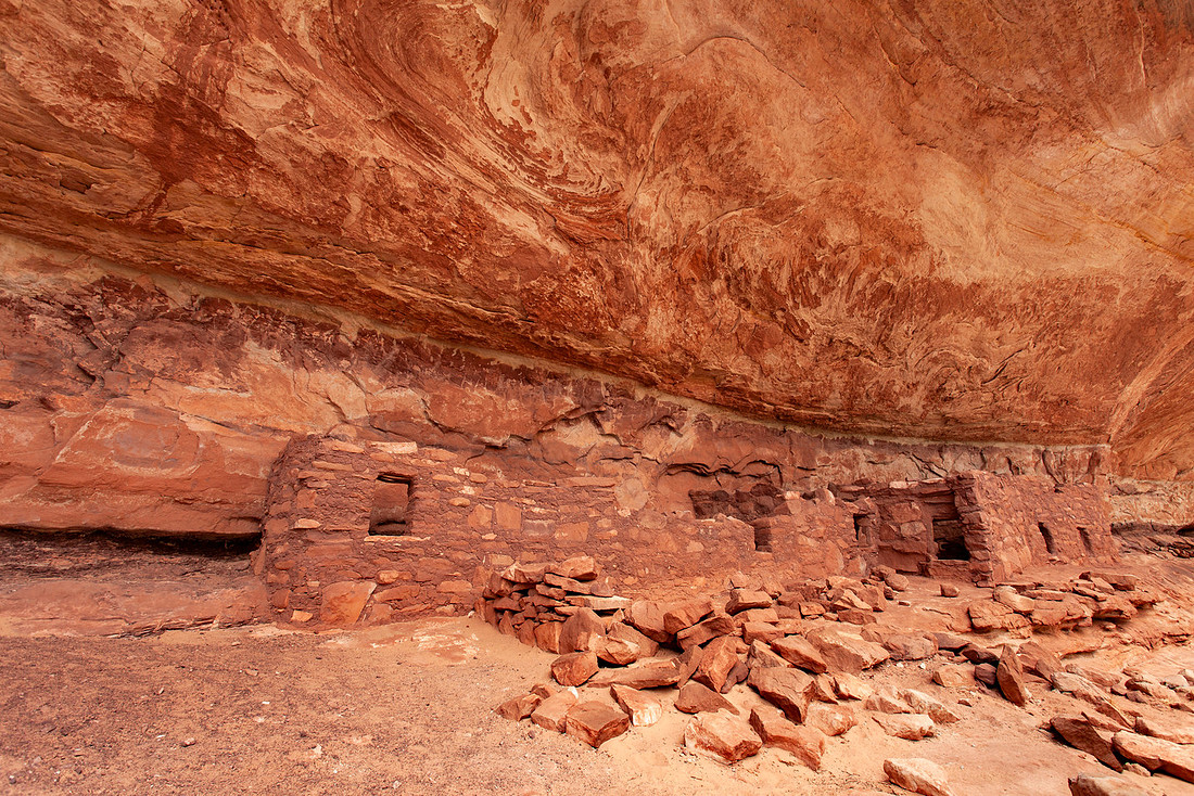
The views in White Canyon are gorgeous as the walls get steeper and steeper. Eventually we arrived at Horse Collar and we climbed up to check out the rock art and ruins. And more wildflowers!
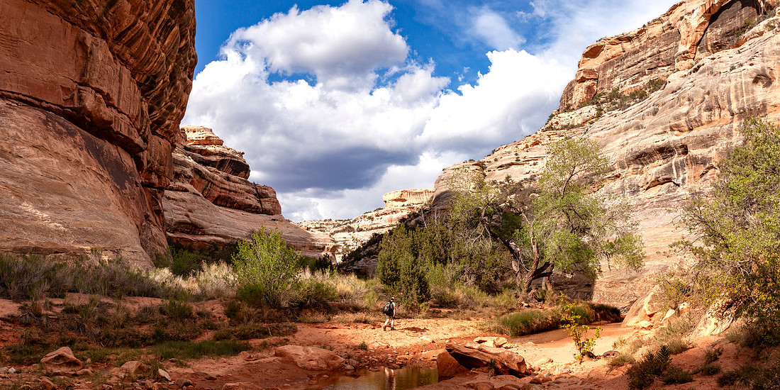
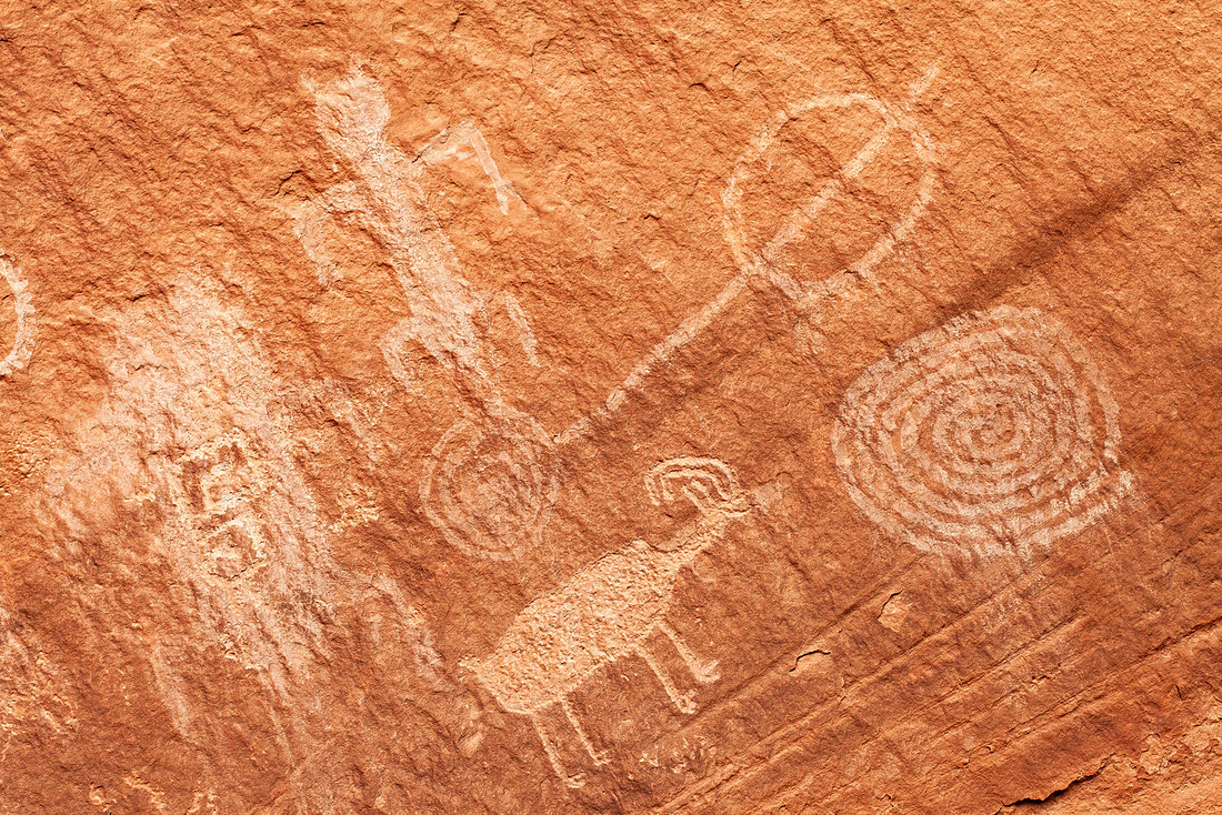
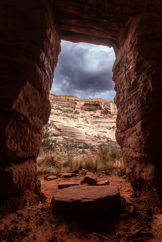
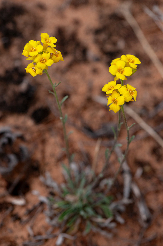
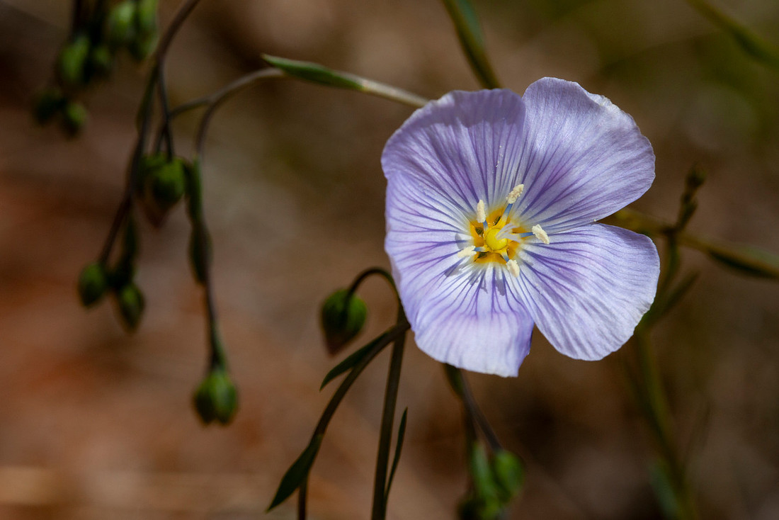
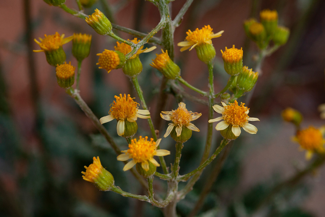
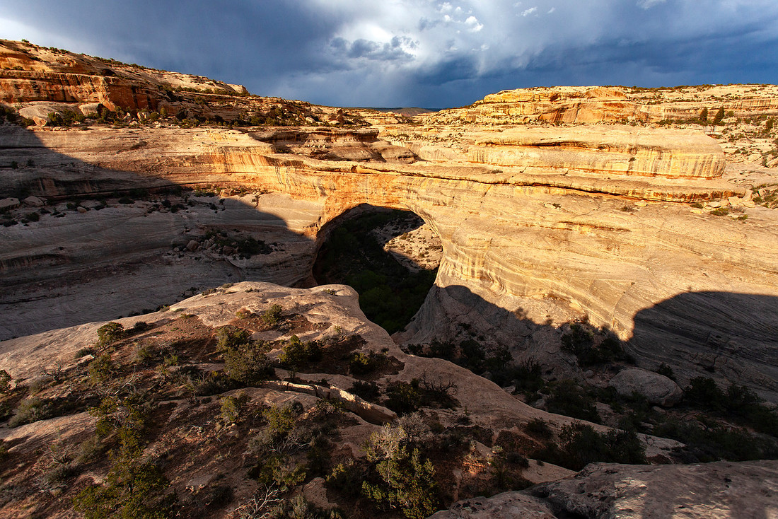
We finally arrived at the last bridge just as the light started to get really nice. Between the breaking storm and the time of day, it made for ideal photo conditions.
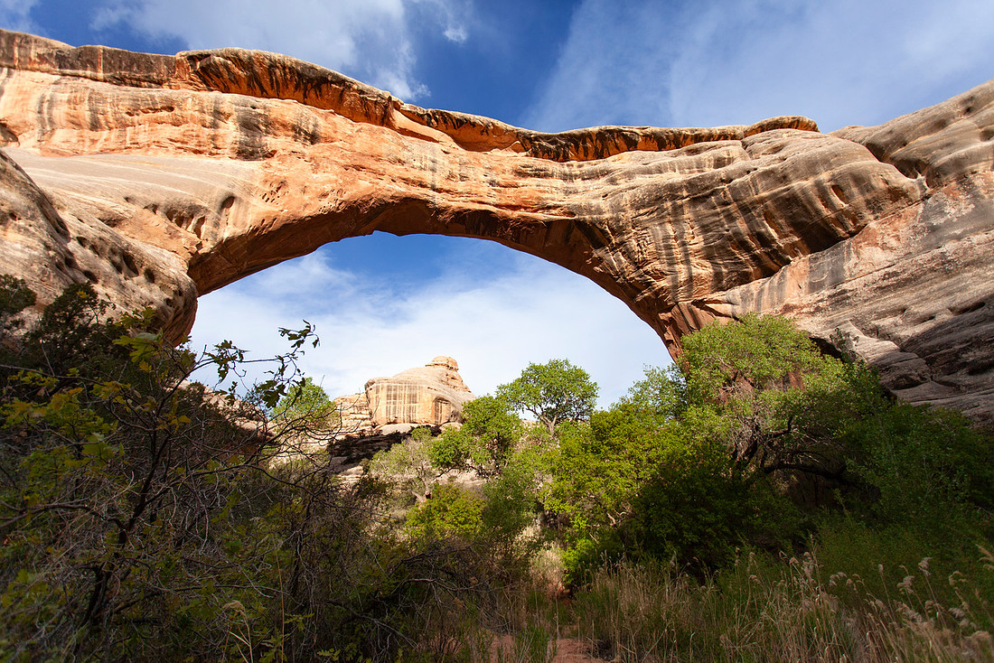
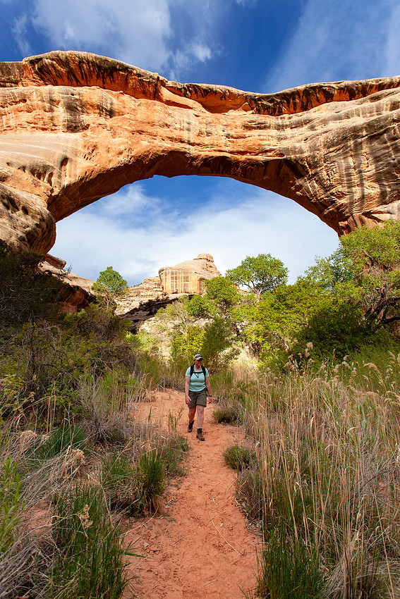
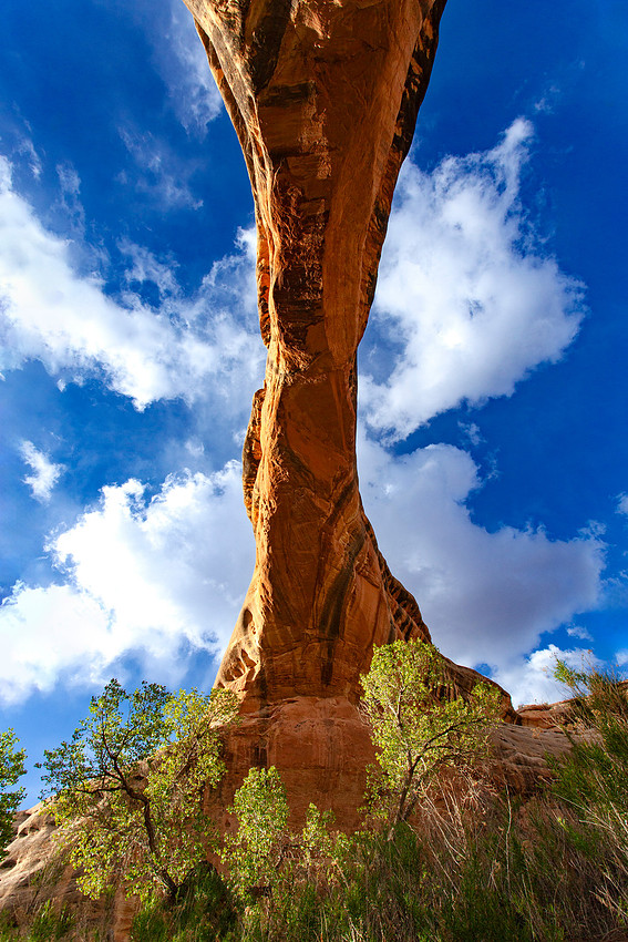
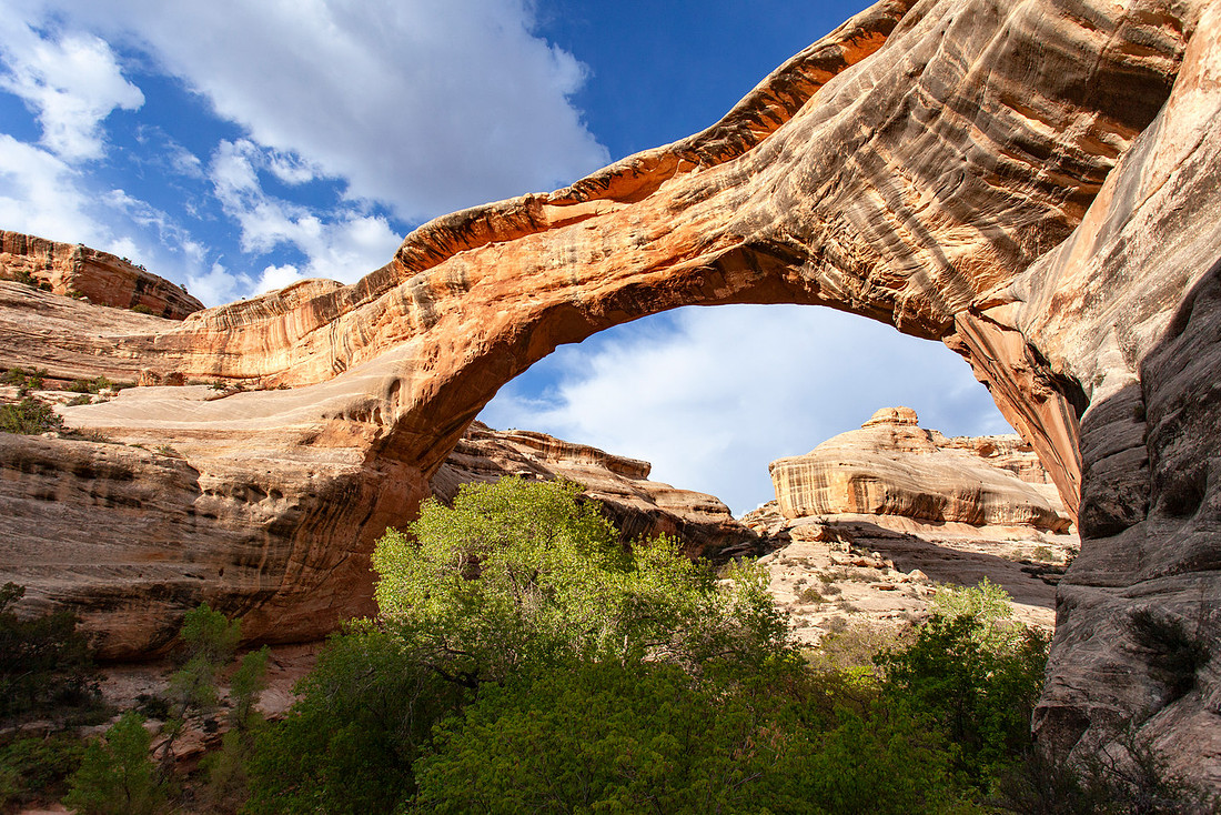
As we climbed out of the canyon, we kept stopping for photos from the different viewpoints.
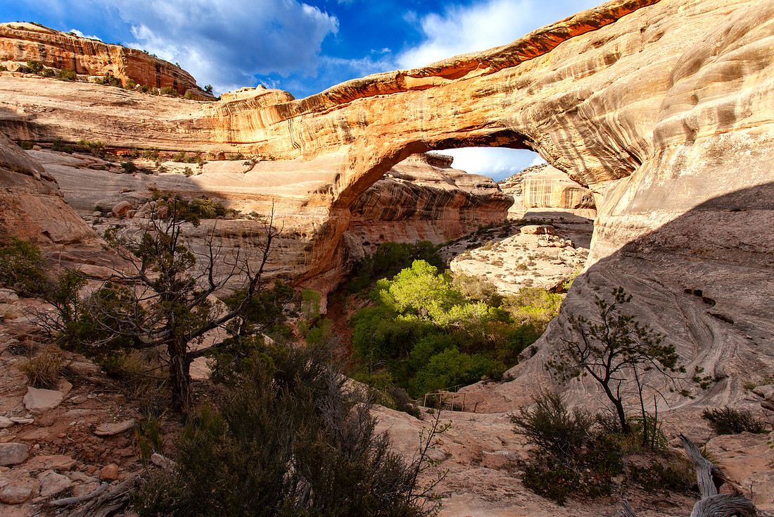
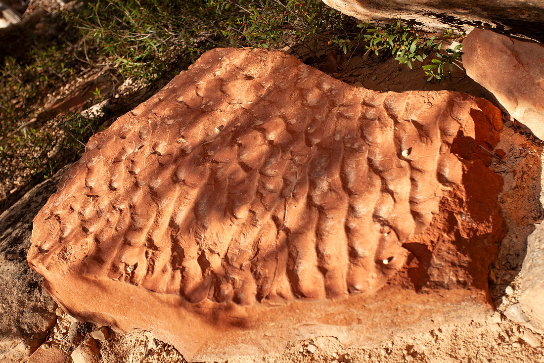
Just before we got back to the trailhead we came across a rock with some really interesting ripple patterns in the rock. I was never really into geology until I got into caving, but now anytime I see a cool rock with interesting patterns I can't help but take photos and think about the fact that the area used to be a giant inland sea.
Just before we got back to the top I saw one last wildflower. After all the shit that happened to us on the first trip, I sorta felt like this was the park's way of making amends with me. It's a great park and totally worth your time if you're in the area and like to hike. If you made it this far in the blog, thanks for sticking with me!