Bridger & Popo Agie Wildernesses: Big Sandy to Grave Lake Loop

Hey everyone!
We just got back from a SPECTACULAR five days in the Wind River Range in the Bridger-Teton and Shoshone National Forests. This was a trip that had been a long time coming. We were supposed to make the trek last year, but just a week before we were set to leave, the Dollar Lake Fire broke out and exploded to more than 13,000 acres in just a few days. Needless to say, our plans went up in smoke—literally.
So this year was our redemption trip. We spent the summer holding our breath, waiting to see what this season would bring. Would it be smoky? Would another fire shut us down? Would the weather decide to throw a wrench into our plans? After last year's disappointment, I wasn't counting on anything until we were actually standing at the trailhead.
But somehow, the stars finally aligned. Five of us (Jess, Sarah, Will, Corrie and myself) converged on Pinedale, Wyoming, coming from Alaska, Montana, and Utah. We’ve all worked together in various capacities over the years, and Will and Jess also joined us in Peru for my 40th birthday. So, in a lot of ways, this trip felt like getting the gang back together—only this time we were headed into the heart of the Wind River Range.
The drive to Pinedale was beautiful, taking us through Yellowstone and Grand Teton National Parks before turning south toward the Winds. Wyoming was looking particularly good, and we were feeling pretty optimistic about the week ahead.
We made it to Pinedale, checked into the hotel, and not long after, the rest of the crew started rolling in. We did a final gear check, made sure everyone had what they needed, grabbed some dinner, and then hit the sack.
The next morning came early. We had roughly a 90-minute drive from Pinedale to the Big Sandy Trailhead, followed by a full day of hiking to get over Jackass Pass and down to Lonesome Lake. There wasn't much room for sleeping in.
The drive out to Big Sandy is beautiful. It starts out as classic Wyoming—wide-open sagebrush flats stretching toward the horizon—but the Wind River Range rises dramatically in the distance. The farther we drove, the more imposing the mountains became.
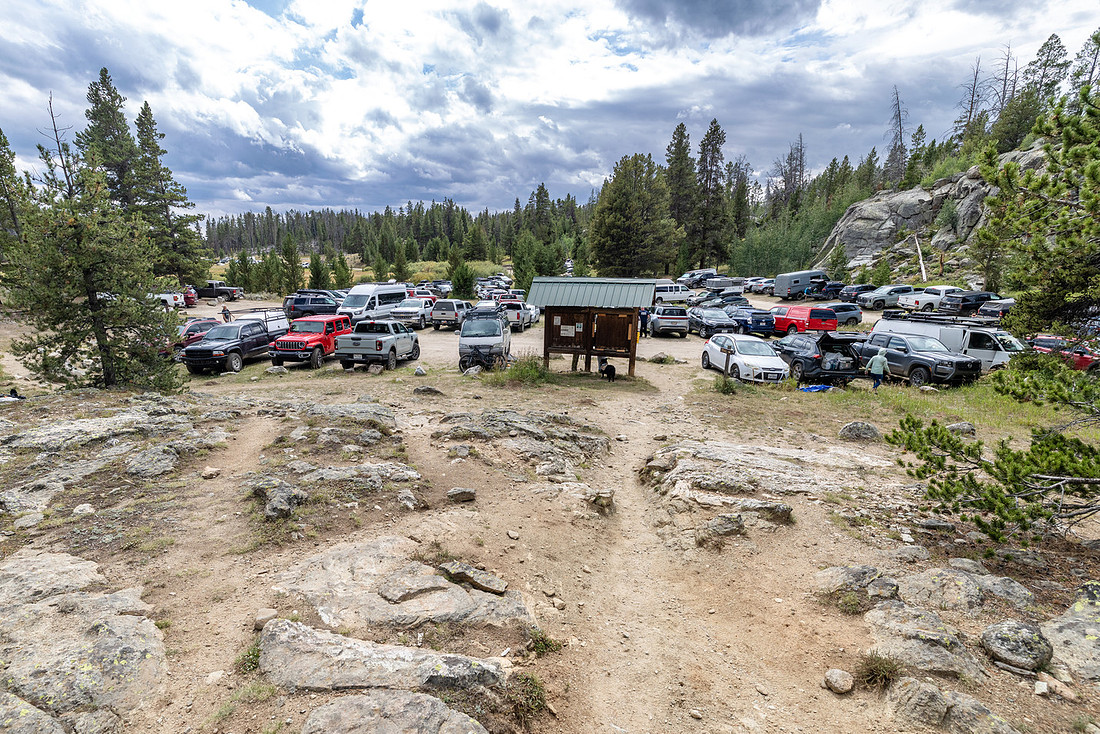
We had read that the Big Sandy Trailhead can get extremely busy, so we wanted to get an early start. And holy moly, were we glad we did.
Even relatively early in the morning, the place was hopping. We managed to snag two parking spots in the main lot, while the much larger overflow lot was already starting to fill. It was a good reminder that while the Winds can feel wonderfully remote once you're deep in the backcountry, you're definitely not the only person who has figured out how spectacular this place is.
We shouldered our packs, made a final check of our gear, and finally started walking. The redemption trip was officially underway.
Day 1: Big Sandy TH to Lonesome Lake | 9.3 mi | +2076’ -698’
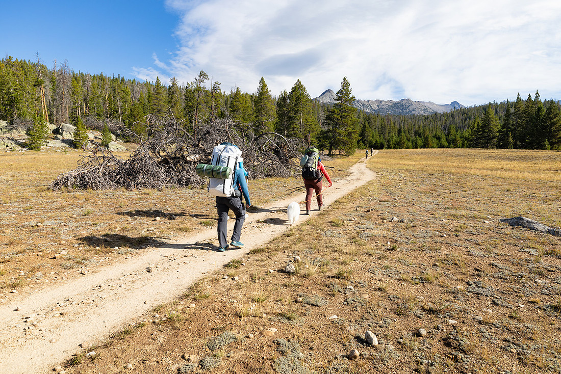
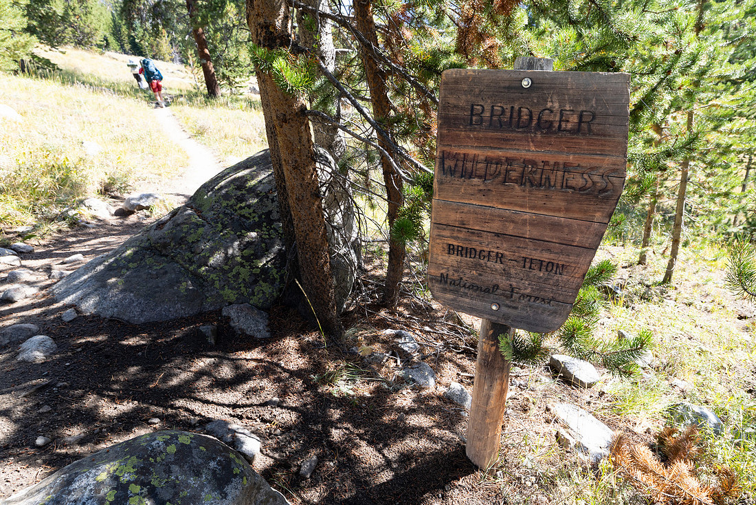
We set off about 9:30 a.m. with nice and heavy packs. Thankfully, the trail started out nice and easy. After a short while, we entered the Bridger Wilderness.

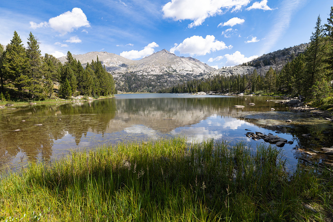
Not long after that, we came across the first of many lakes we’d see on the trip: Big Sandy Lake. We stopped for lunch since we’d start climbing on the far side of the lake, eventually making our way up to Jackass Pass.
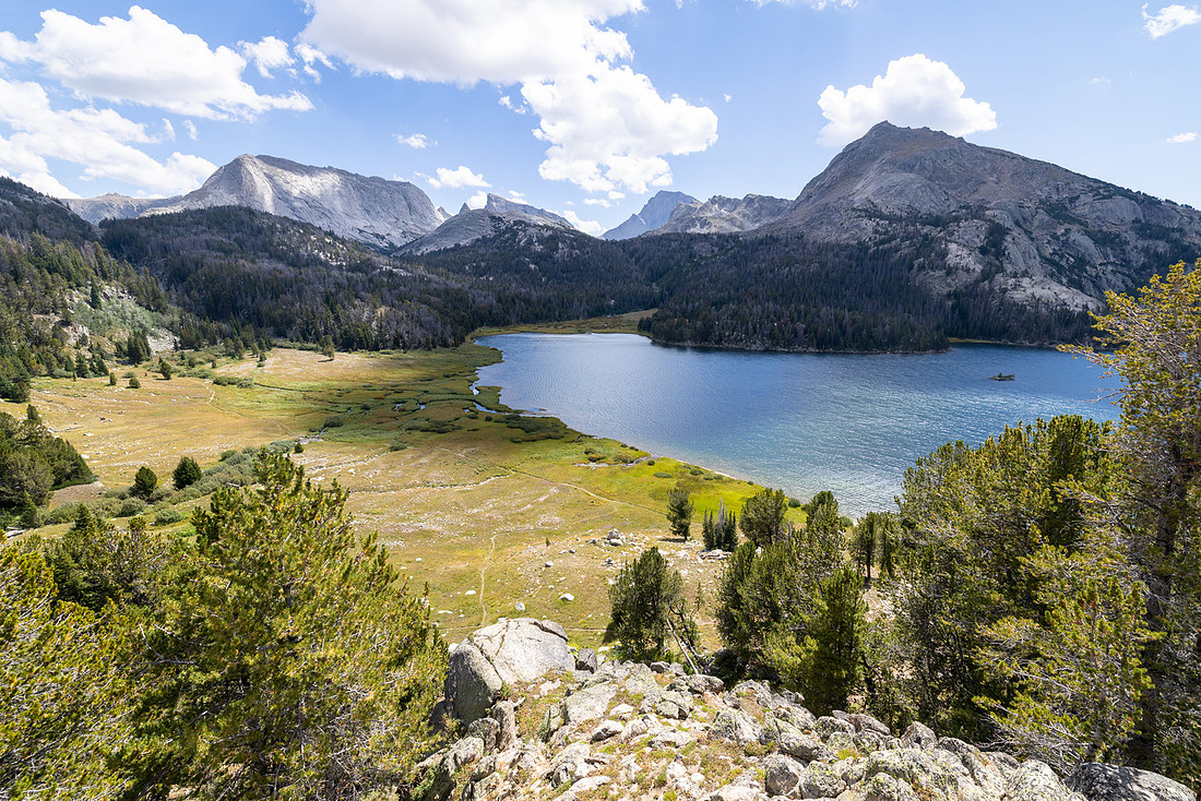
On the climb, the mountains in the distance started to come into view.
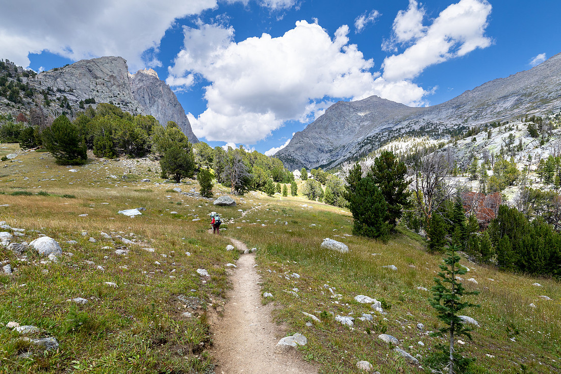
About halfway up, we stopped and filtered water at a creek crossing.
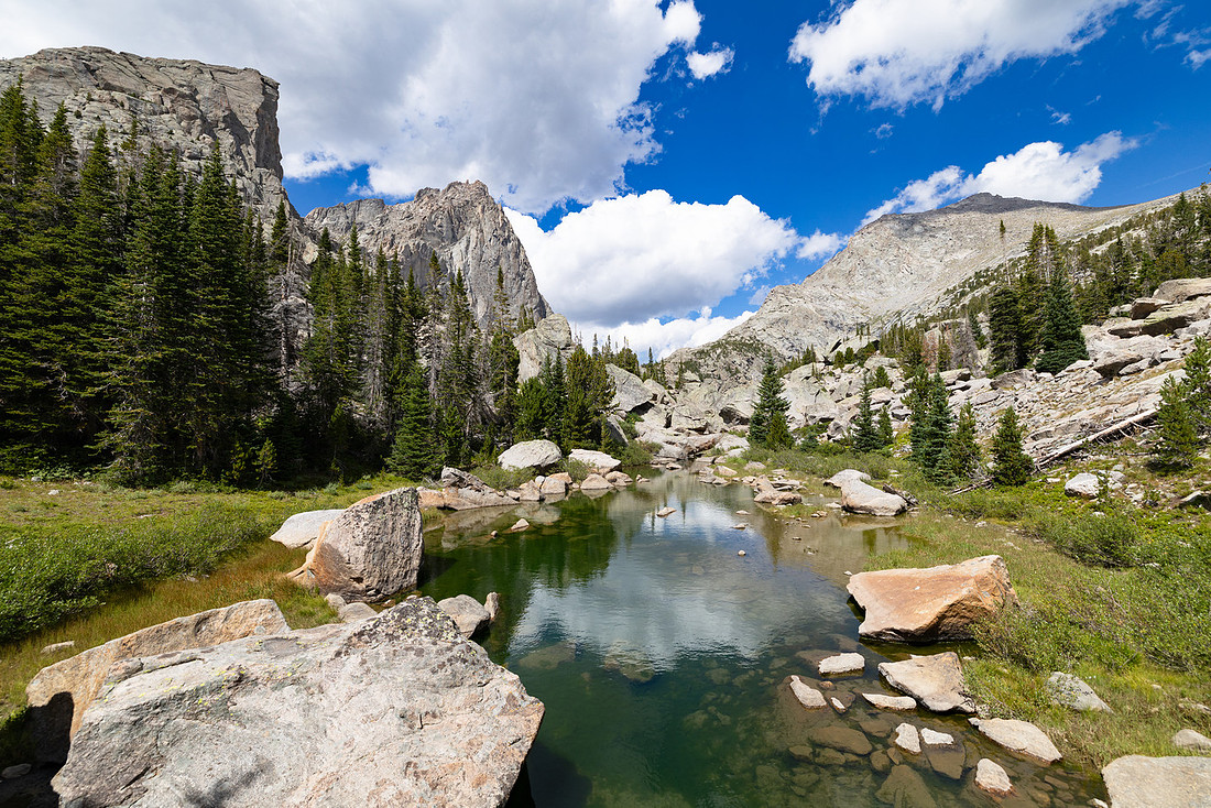
From there, the trail crossed over some large granite boulders and steps until North Lake came into view. The trail wrapped around the lake and continued uphill.
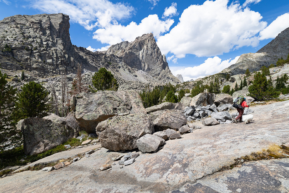
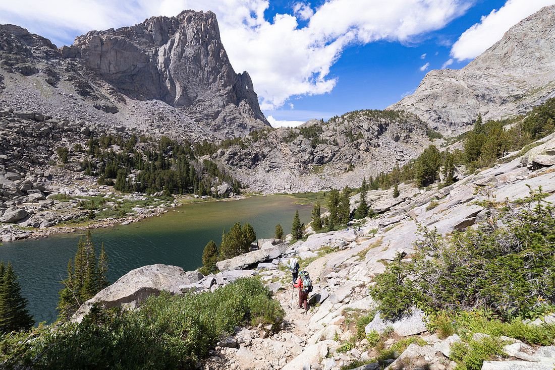
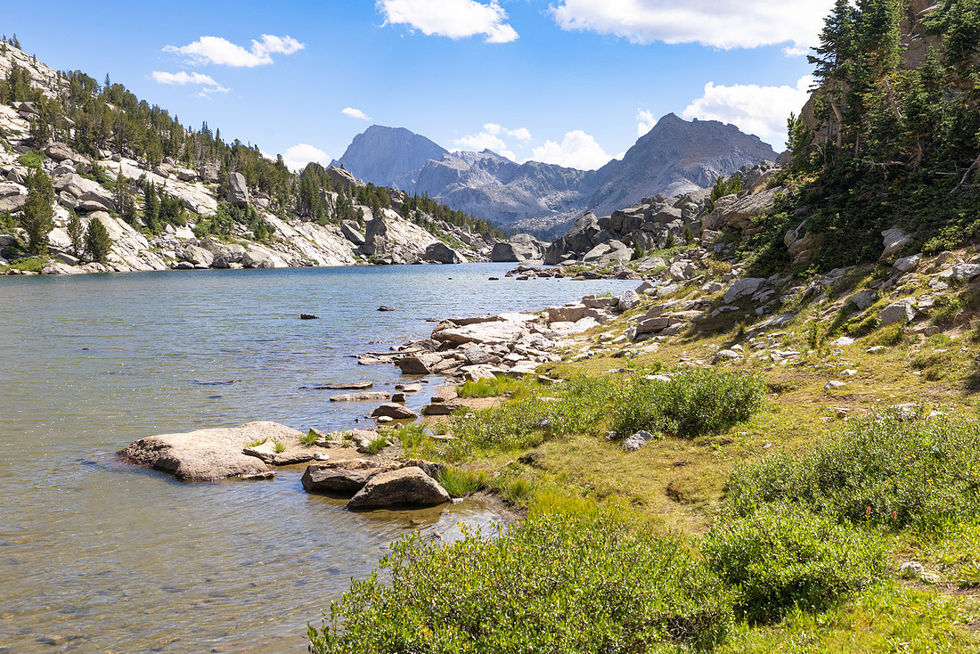
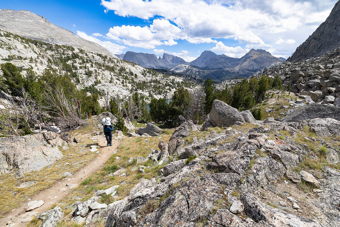
After a quick snack, we kept moving, only for lightning to start striking just before we began climbing above treeline. We made the decision to duck into the trees and sit on our packs to wait out the storm. When we finally got back on the trail, we arrived at Arrowhead Lake and could see the storm blowing past us and off into the distance.
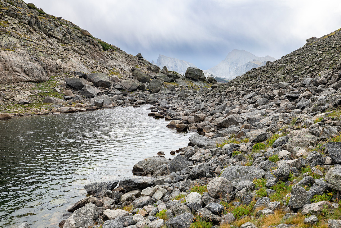
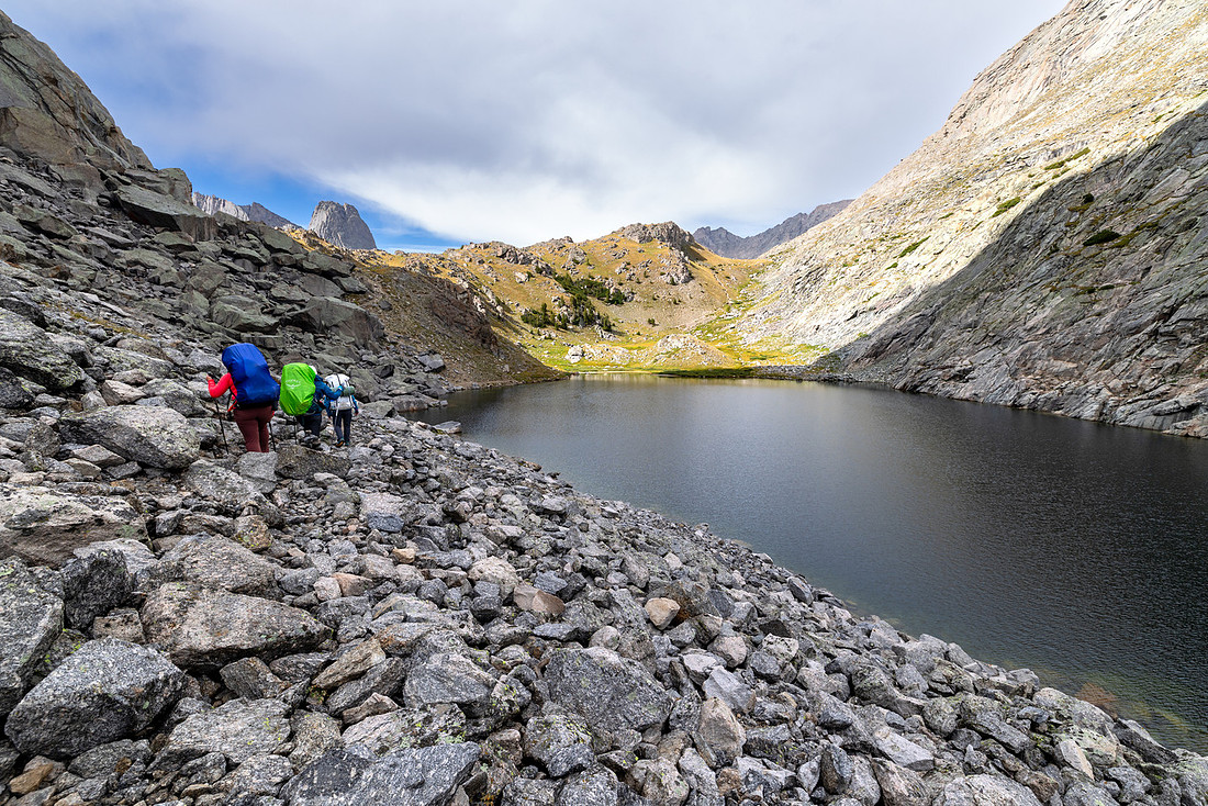
The “trail” around Arrowhead Lake was less of a trail and more of a route. We had to take off our packs in a few spots to do some downclimbing. On the north side of the lake, we bumped into a group who had camped in the Cirque of the Towers basin the night before, so we took the opportunity to ask them for some campsite beta.
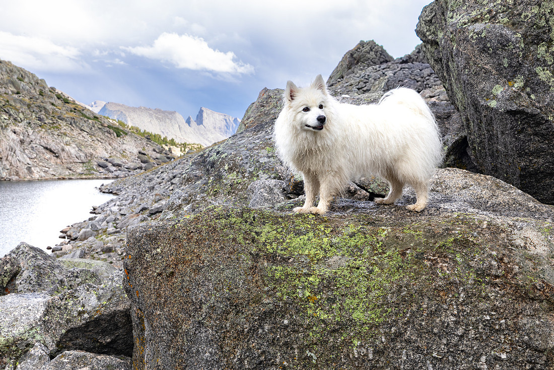
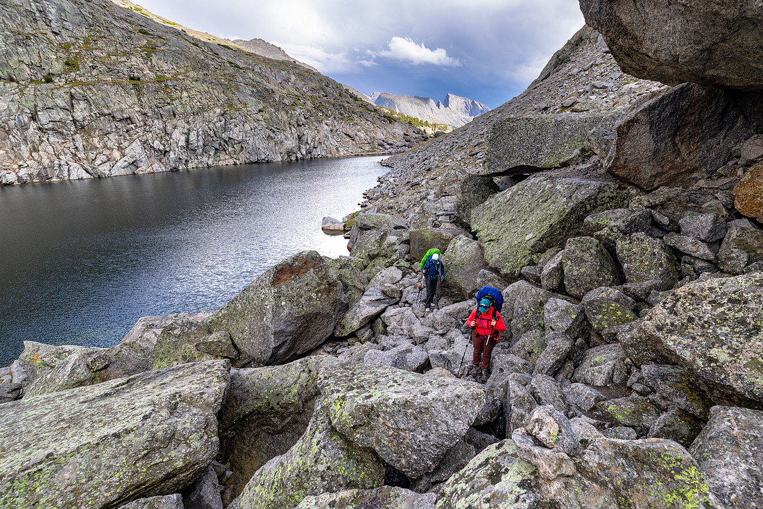
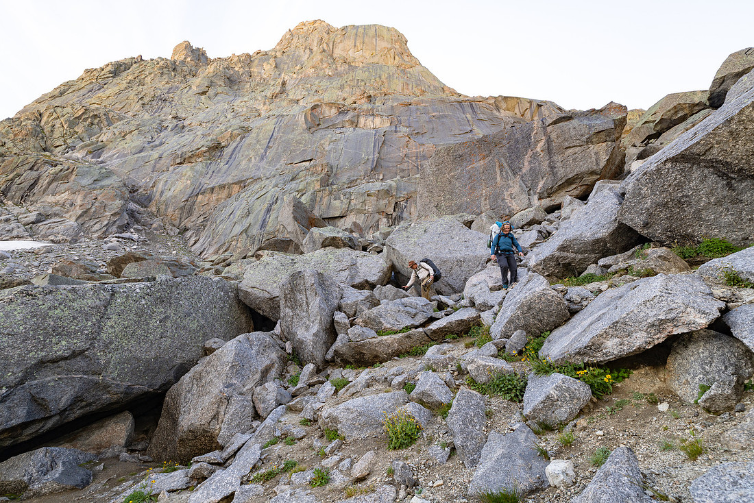
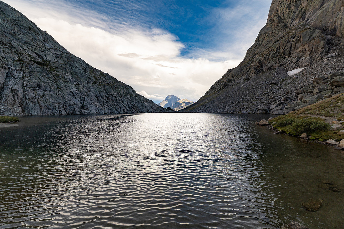
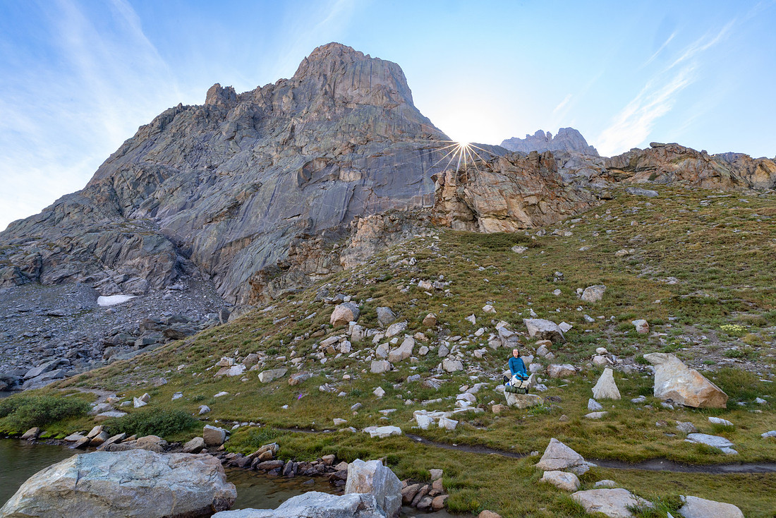
From Arrowhead Lake, it was one last push to the pass.
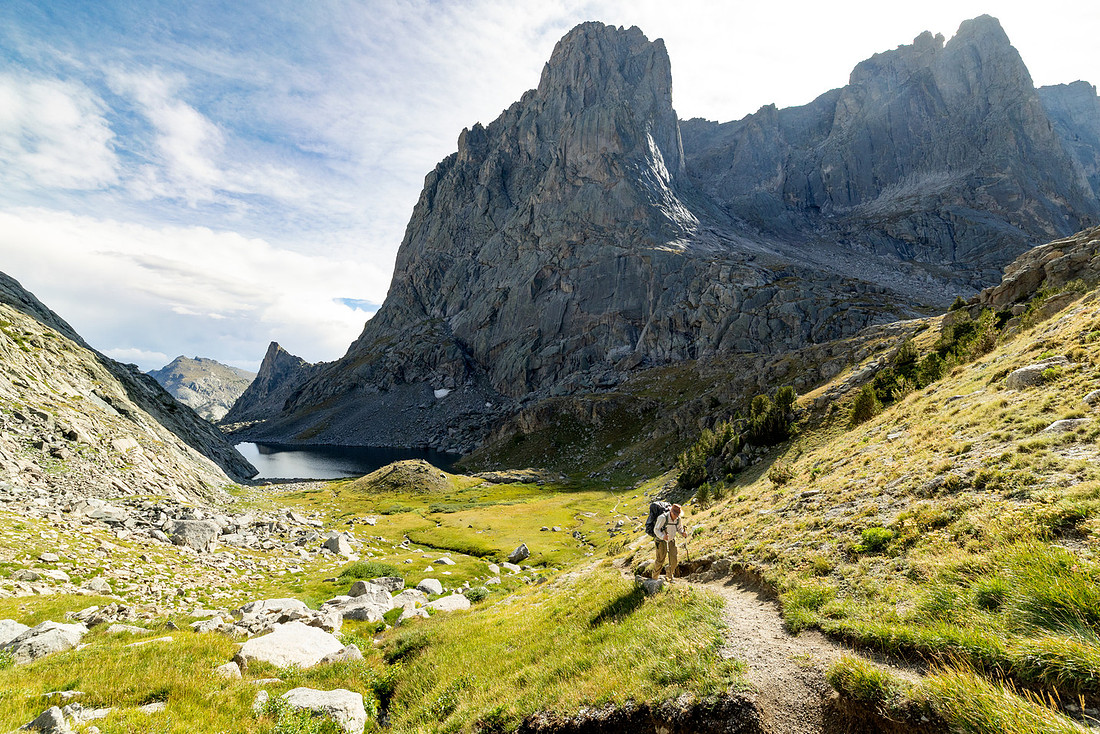
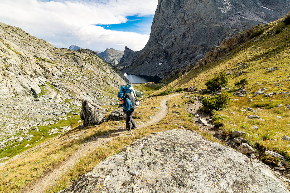
At the pass we got our first view of the Cirque of the Towers as we crossed into the Popo Agie (poh-POH-zhə) Wilderness. UNREAL!
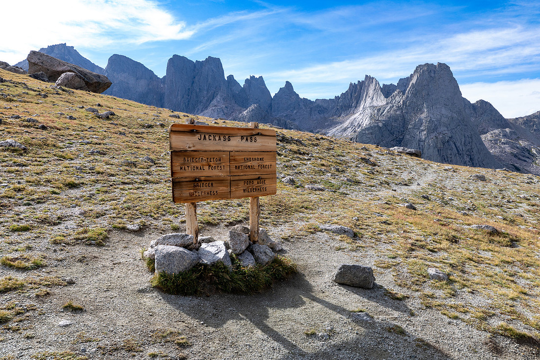
As we dropped down into the bowl, the views of the mountains kept getting better and better, and eventually we could see Lonesome Lake.
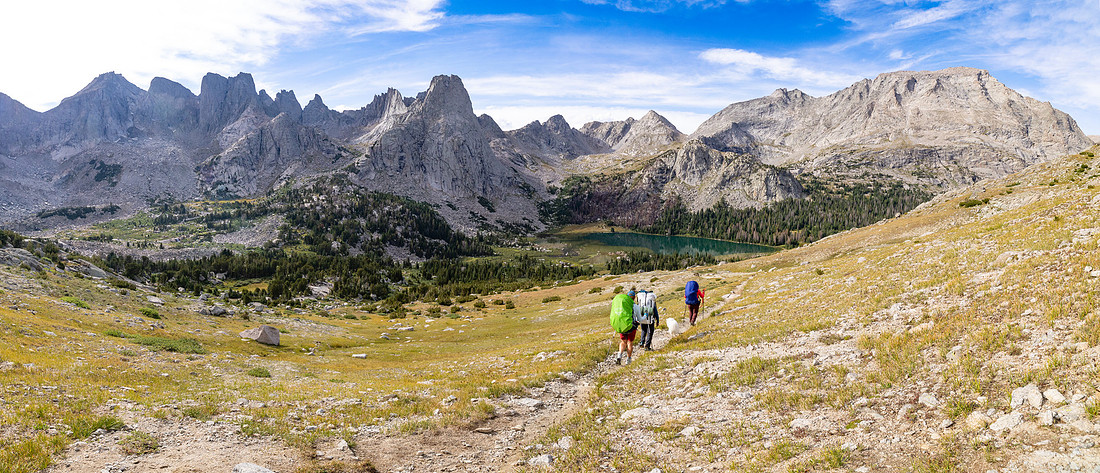
Once we found our campsite, we realized we weren’t particulary close to water, so we had to go on a mission to find the creek. Sarah and I could see a small waterfall in the distance, so we decided to aim for that. More ridiculous scenery…
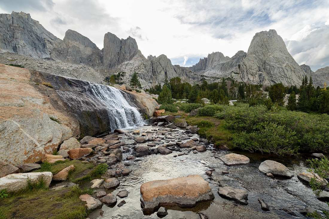
After filtering, we headed back to camp to make hot drinks and dinner. About halfway through dinner, the clouds rolled in over the mountains and the lightning started again. It forced us into our tents for the night, where we laid there listening to the thunder crash and echo throughout the basin.
About 90 minutes after we laid down, I noticed that my mattress was getting pretty low on air. At first, we thought it might have been the cooler temperatures, but unfortunately, we had a hole in the mattress.
Day 2: Lonesome Lake to Valentine Lake | 11 mi | +2201’ -2265’
After terrible sleep all night, with it being cold and wet, I was lying in the tent contemplating whether I was going to be able to deal with no sleep and being wet all trip. I needed a turnaround. So when I crawled out of the tent and saw that the sky was clear, it felt like a birthday miracle. The cherry on top was finding the hole in our sleeping pad. It was in an easy place to patch, too. So hopefully sleeping on the cold, hard ground was a one-time thing.
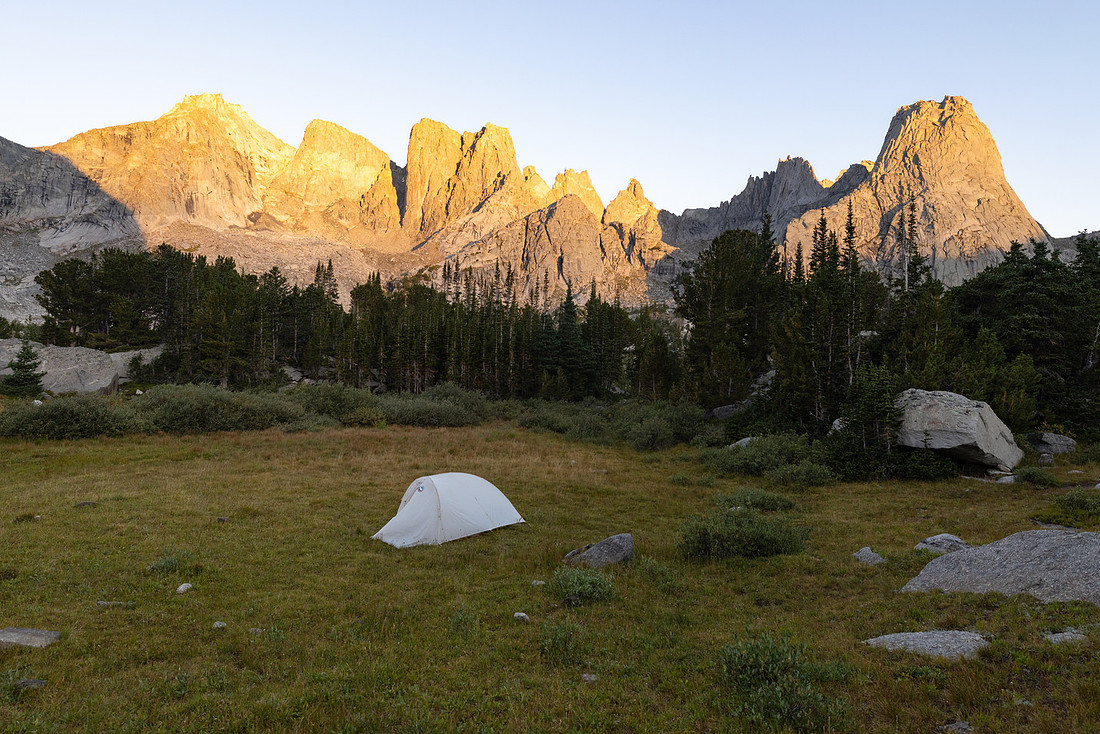
Today was going to be the biggest day of the trip and would take us up close to 12,000 feet. With possible afternoon thunderstorms in the forecast, it was important that we get rolling early.
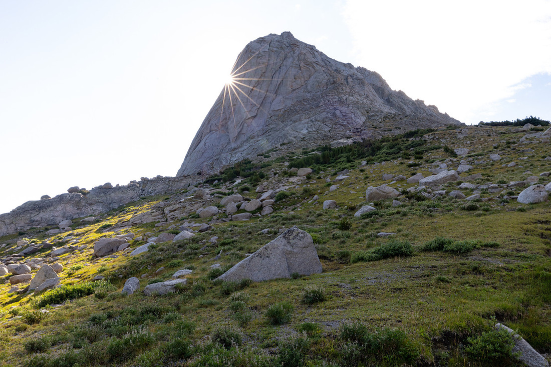
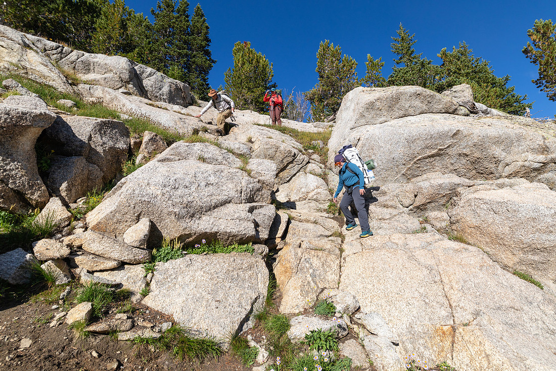
Shortly after we left camp, we descended down to the lake, although the “trail” was more like boulder climbing in places.
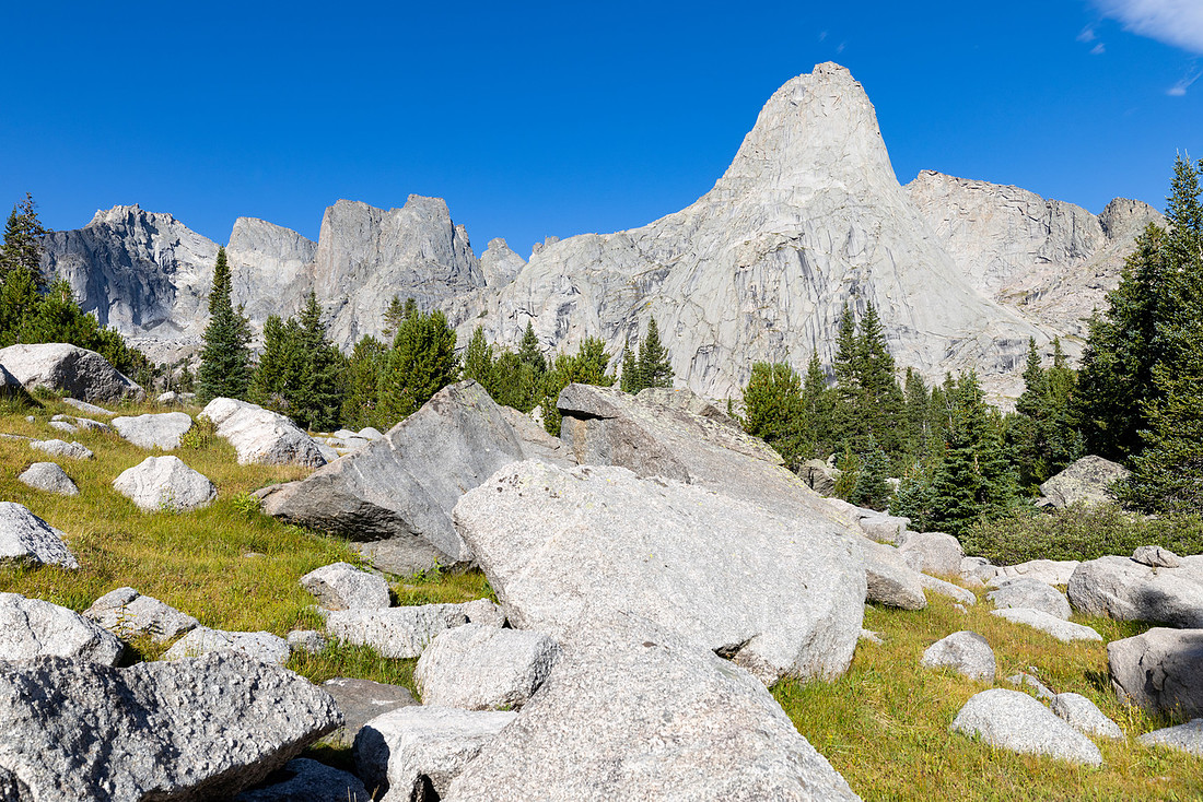
The views at the outlet of the lake were beautiful. We grabbed some photos and headed downstream.
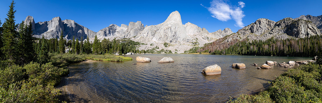
Since there wasn’t any guaranteed water for the climb ahead, we filtered water in the valley, had some snacks, and started the climb up the Lizard Head Plateau.
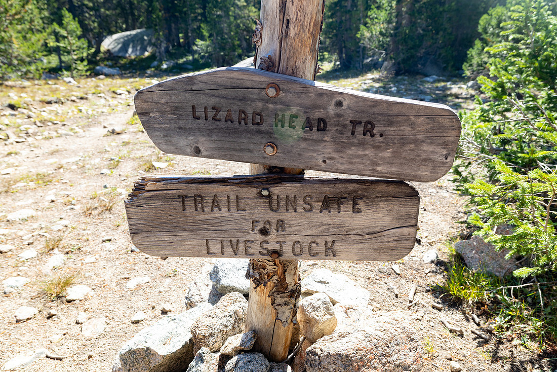
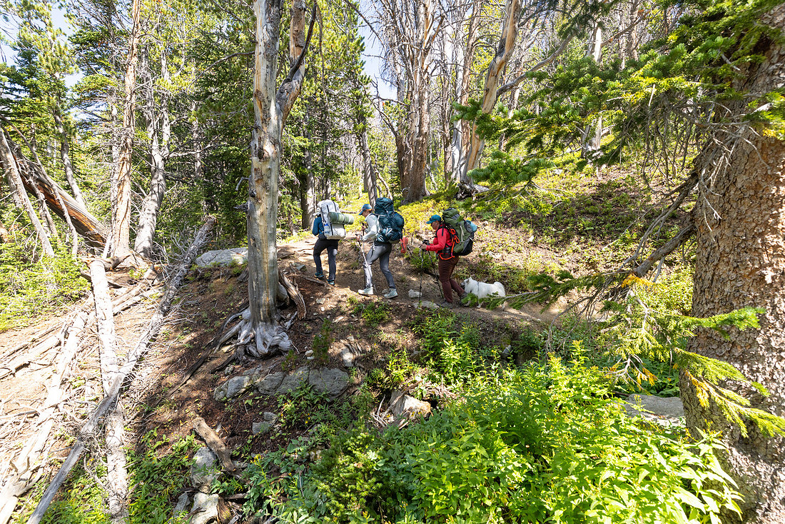
After a bit of climbing through the trees, the Bear Lakes started to come into view as we climbed above treeline. WOW! Views everywhere.
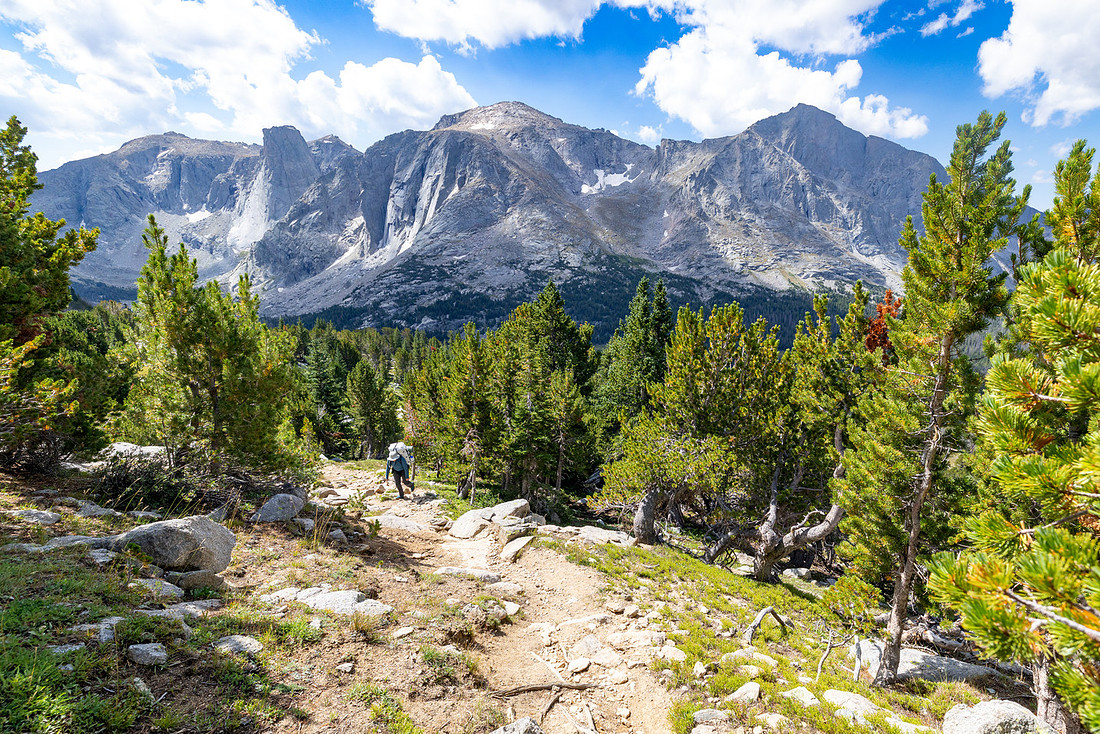
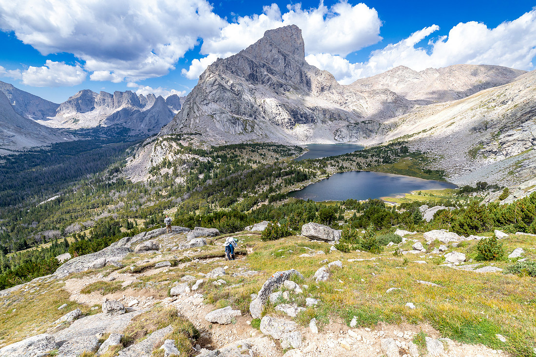
The clouds were holding, and we were getting tired, so we stopped for lunch with views of the Cirque. It was a good reset before tackling the last bit of climbing to the plateau. The trail continued up, but there were stretches where it leveled out a bit, allowing us to keep pace.
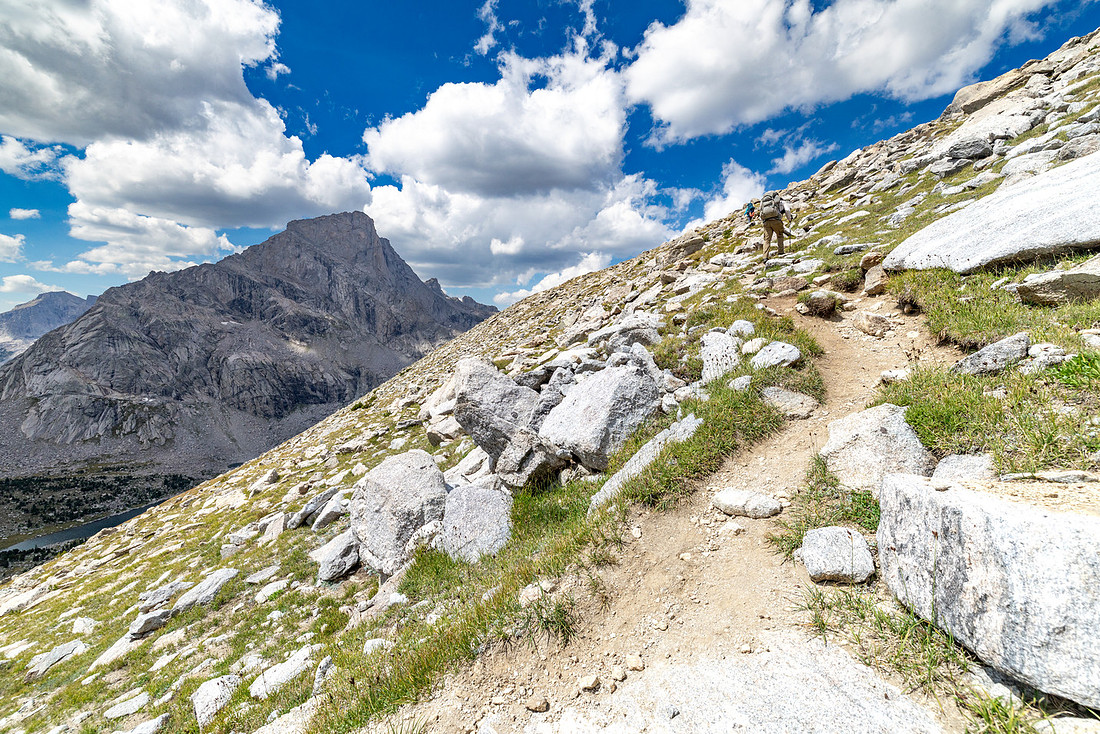
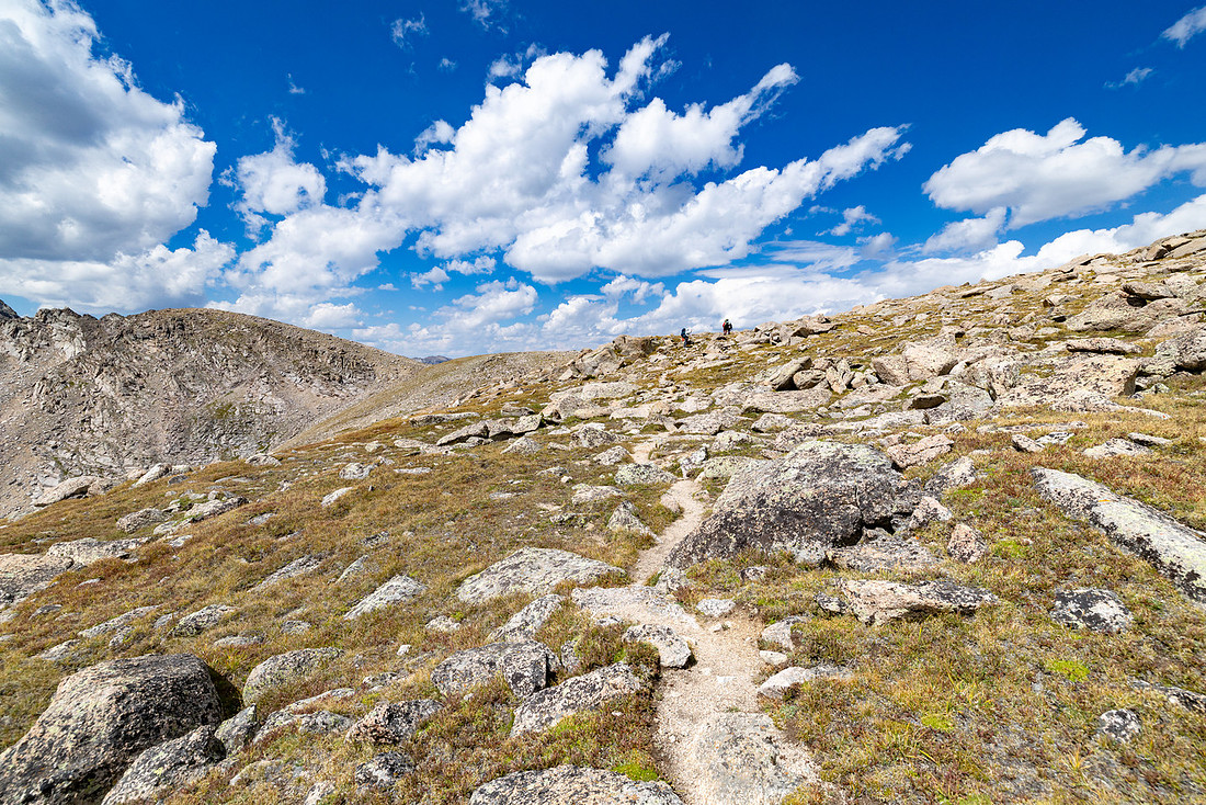
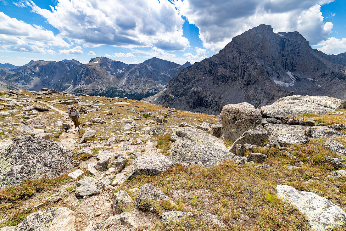
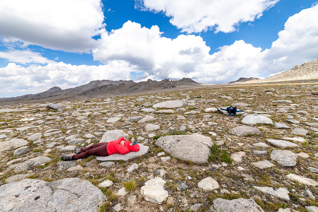
When we made it to the plateau—the highest point of our trip—we dropped our packs and found some flat rocks to lie down on and watch the clouds float just over our heads. Weather still holding!
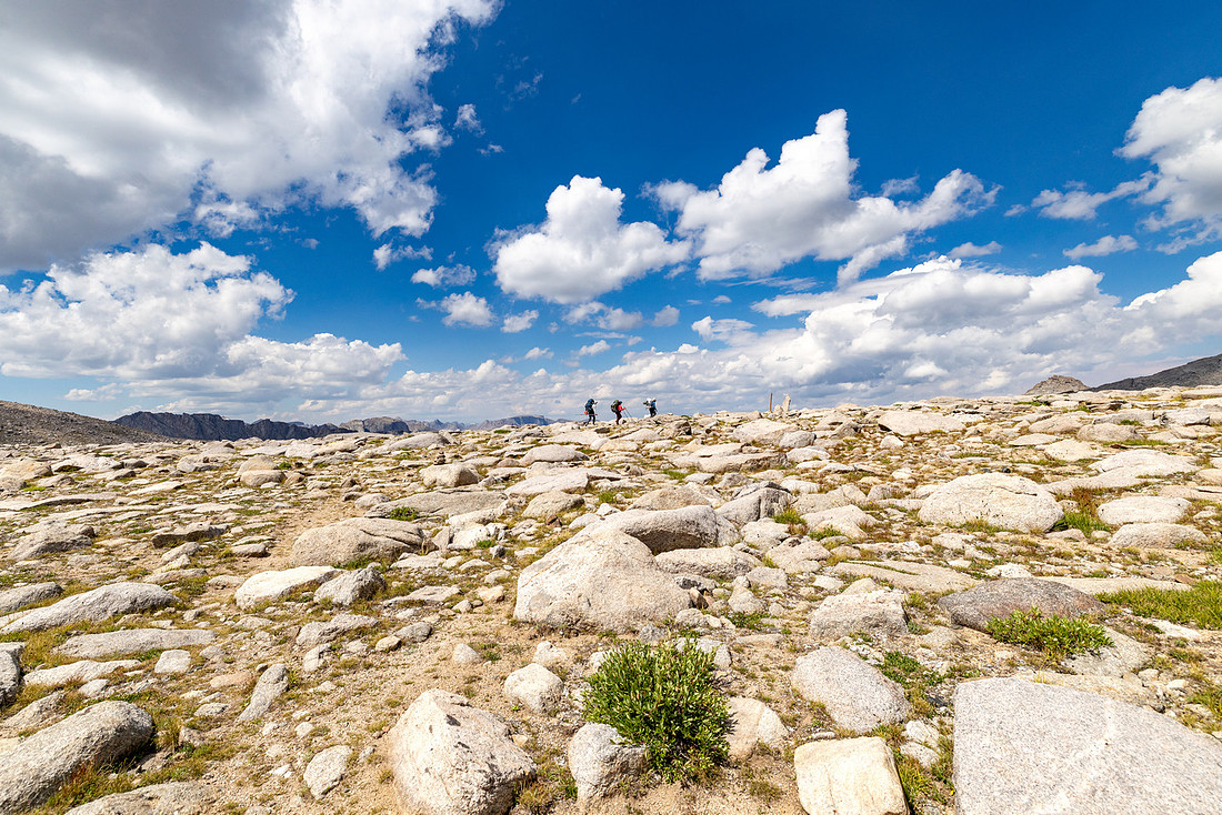
We had one final high point on the day after a couple miles of traversing the plateau, so we loaded up and kept moving.
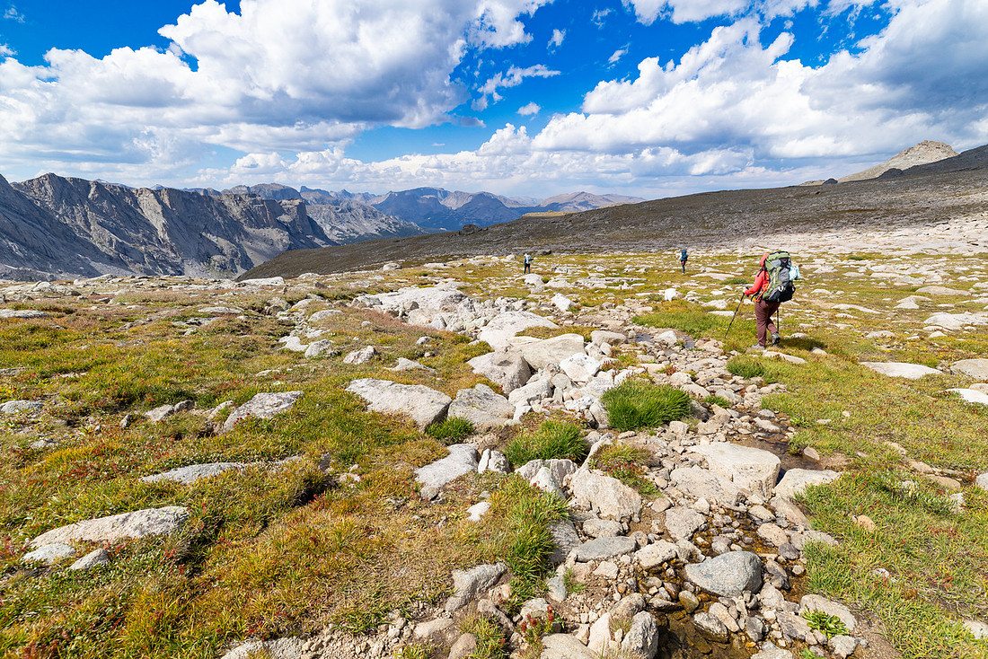
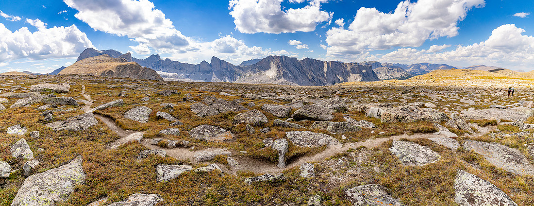
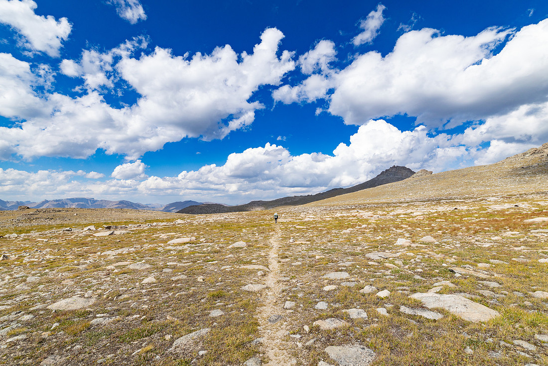
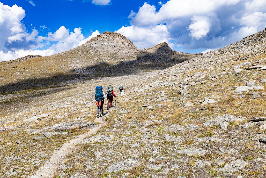
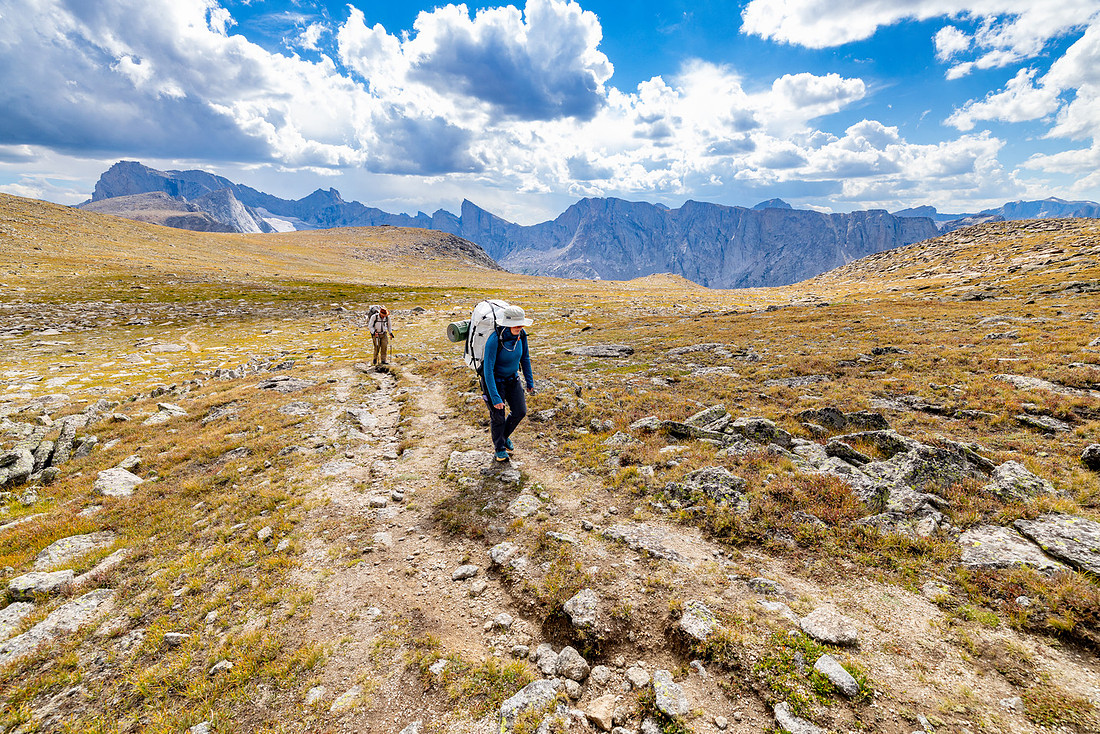
At the base of the final uphill of the day, we stopped for snacks and water and came across a lost hiker. We were headed to the same place for the night, so she decided to follow us, even though she was certain we weren’t where we thought we were—even after we showed her our location on GPS.
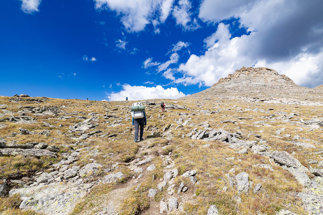
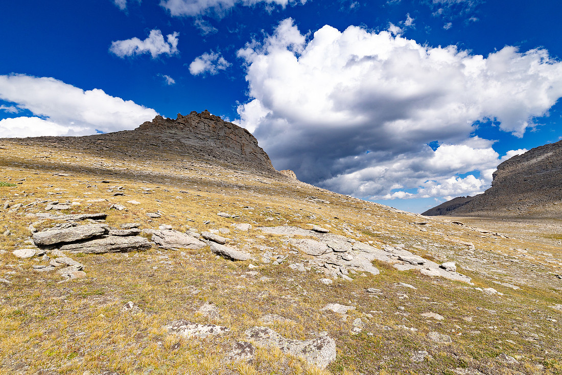
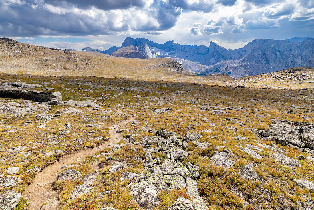
Last push over the pass near Cathedral Mountain, and it was all downhill for the rest of the day.
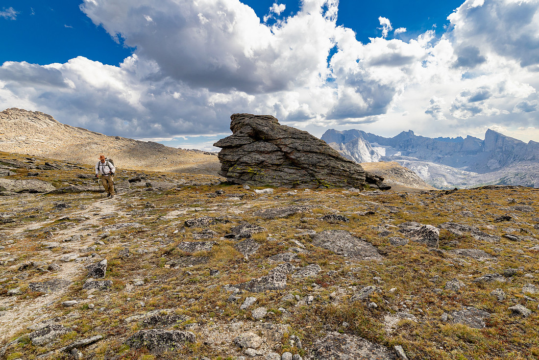
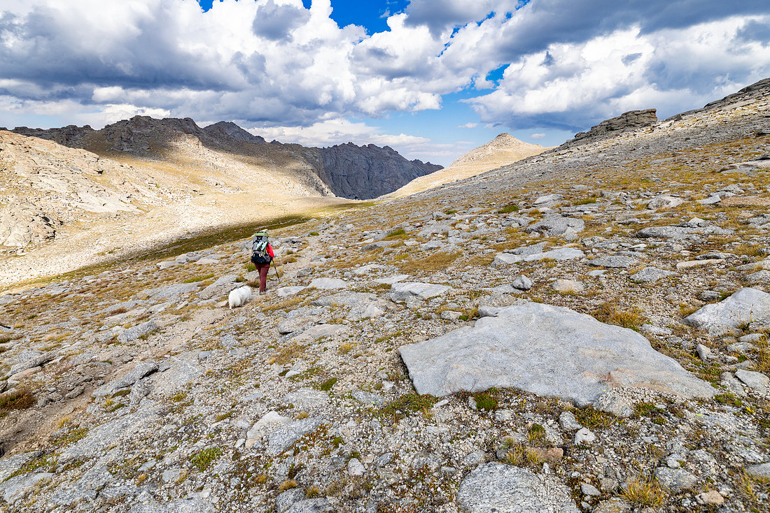
We came across our first water in a few hours, so we stopped to filter. The clouds started to build not long after, and we finally got the rain we had been anticipating all day. It was only enough that we had to debate whether or not to put on rain gear, but eventually, we gave in and put it on. All the lightning and thunder we could see stayed away from us, so that was a win.
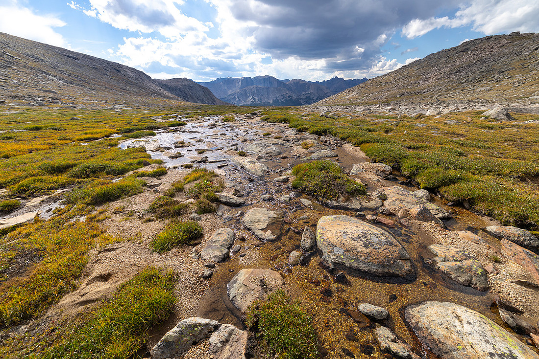
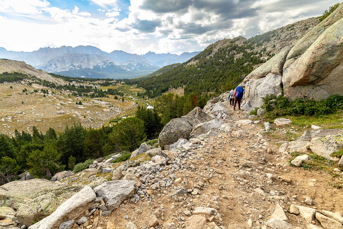
Our initial plan for this night was to stay at Dutch Oven Lake, but that would mean the following day’s hike would be about eight miles with some significant elevation. At our stop on the plateau, we pulled out the map and realized there was another way to get to Grave Lake if we stayed at the more popular Valentine Lake. It would make the next day closer to five miles, keep us near water most of the day, and cut down on the elevation.
After the big day we had just put in, we decided we needed a shorter day to give ourselves some time to relax at the lake and, hopefully, go for a swim and bask in the sun.
The only hiccup to the plan was that we rolled into Valentine Lake at about 6 p.m., and every campsite we walked by was occupied. After circumnavigating the lake for about 15 minutes, we arrived at the outlet and came across a great site.
Water was much closer, and we even had a nice rocky outcrop behind our campsite where we could sit and look out over the terrain we would be heading into the following day and watch a fleeting sunset.
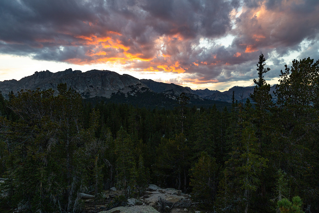
Day 3: Valentine Lake to Grave Lake | 4.8 mi | +457’ -872’
When we woke up the following morning and the sleeping pad was still holding air, I knew the worst was behind us. I was able to get some solid sleep, and hiking with a full pack for seven hours on no sleep the night before probably didn’t hurt.
I went back up to the camp overlook to watch the sunrise with a cup of coffee. Another spectacular morning.
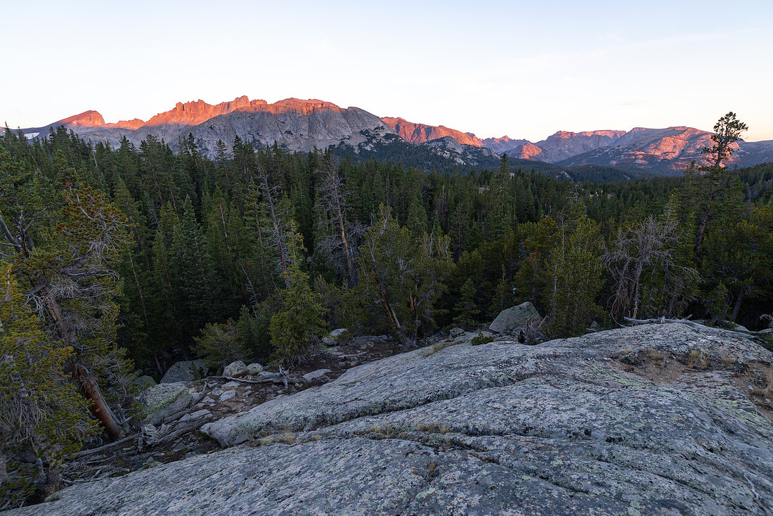
After breakfast and packing up, I went down to explore the lake since we hadn’t had a chance to the night before. It was easy to see why Valentine Lake is so popular.
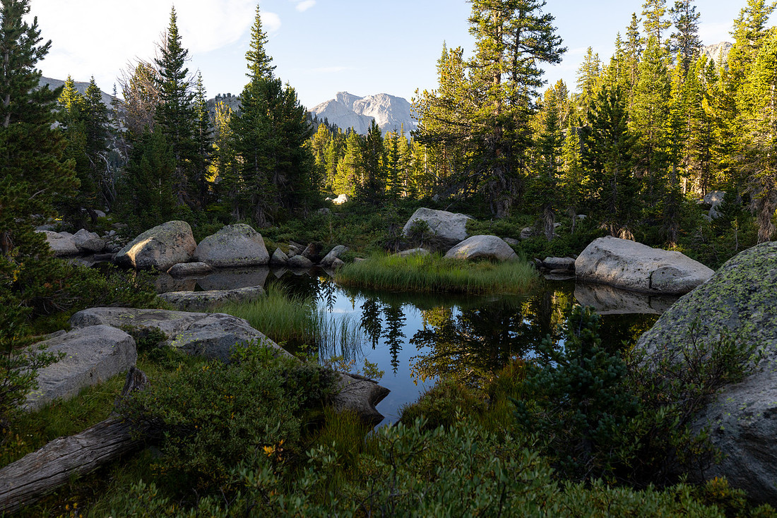
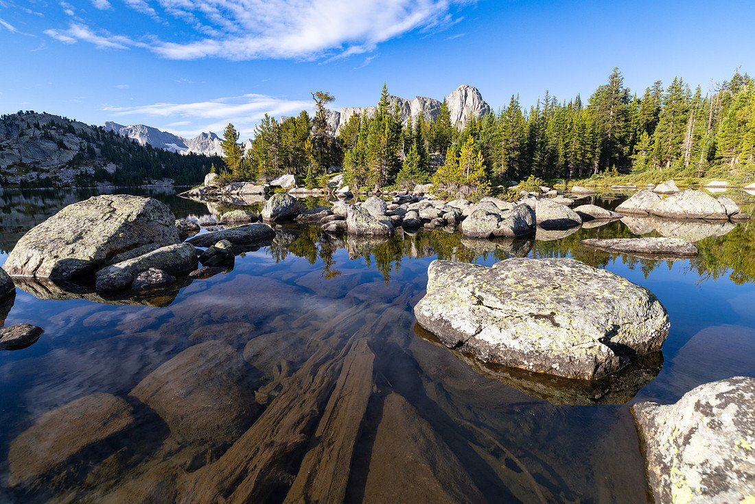
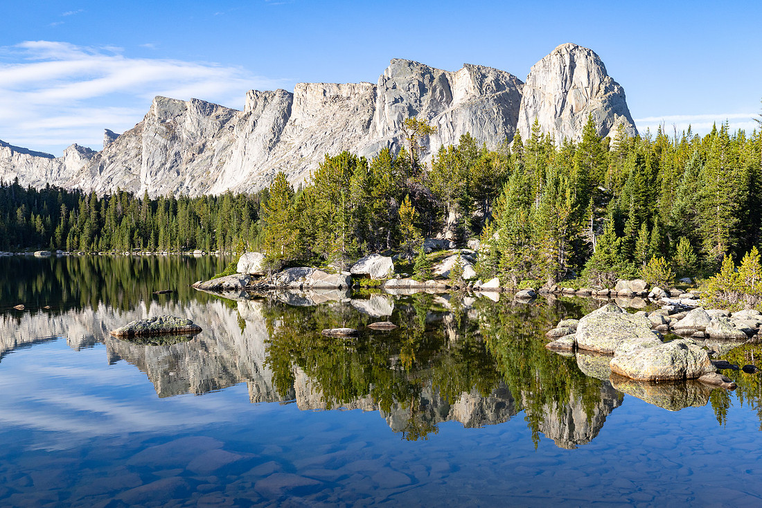
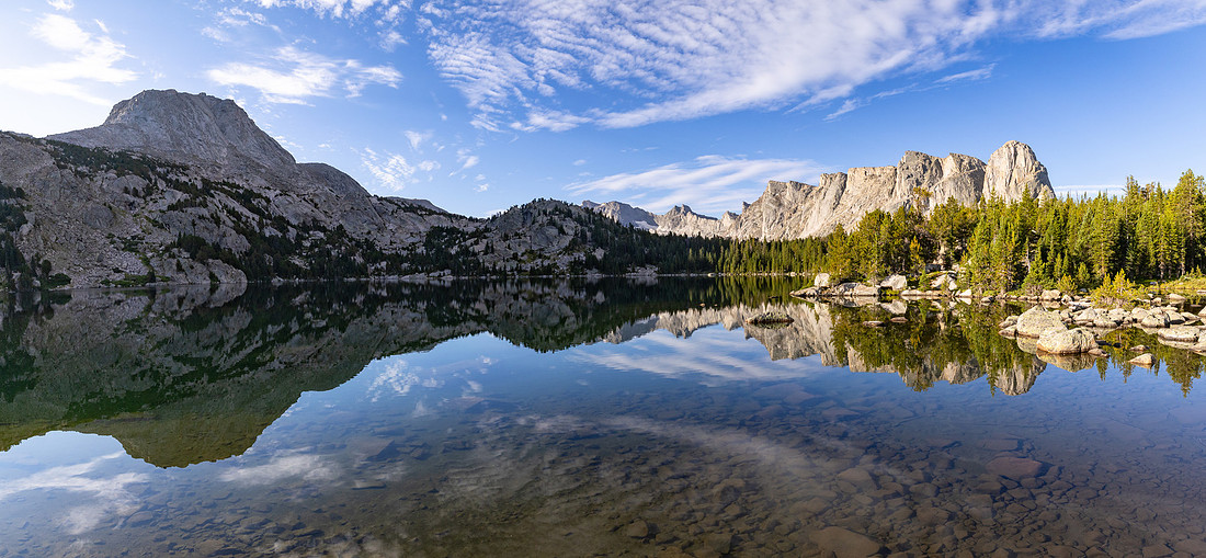
Our route today would take us through an area called Ranger Park. The name itself seemed like another sign that changing plans the previous day had been a good idea.
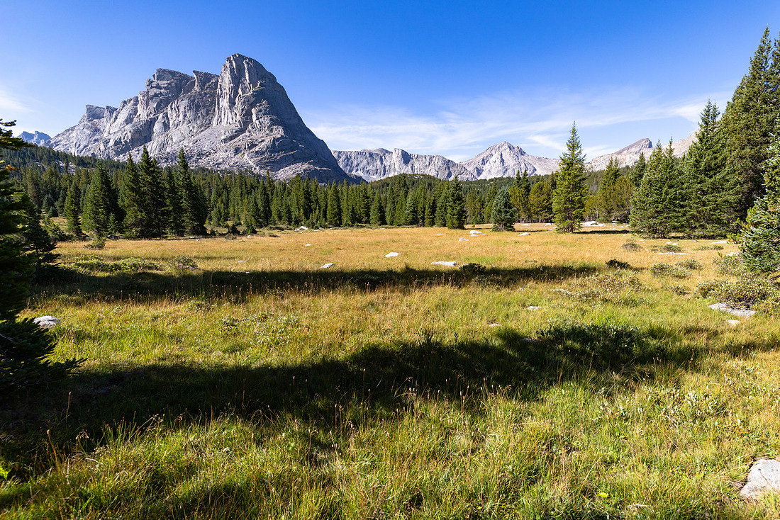
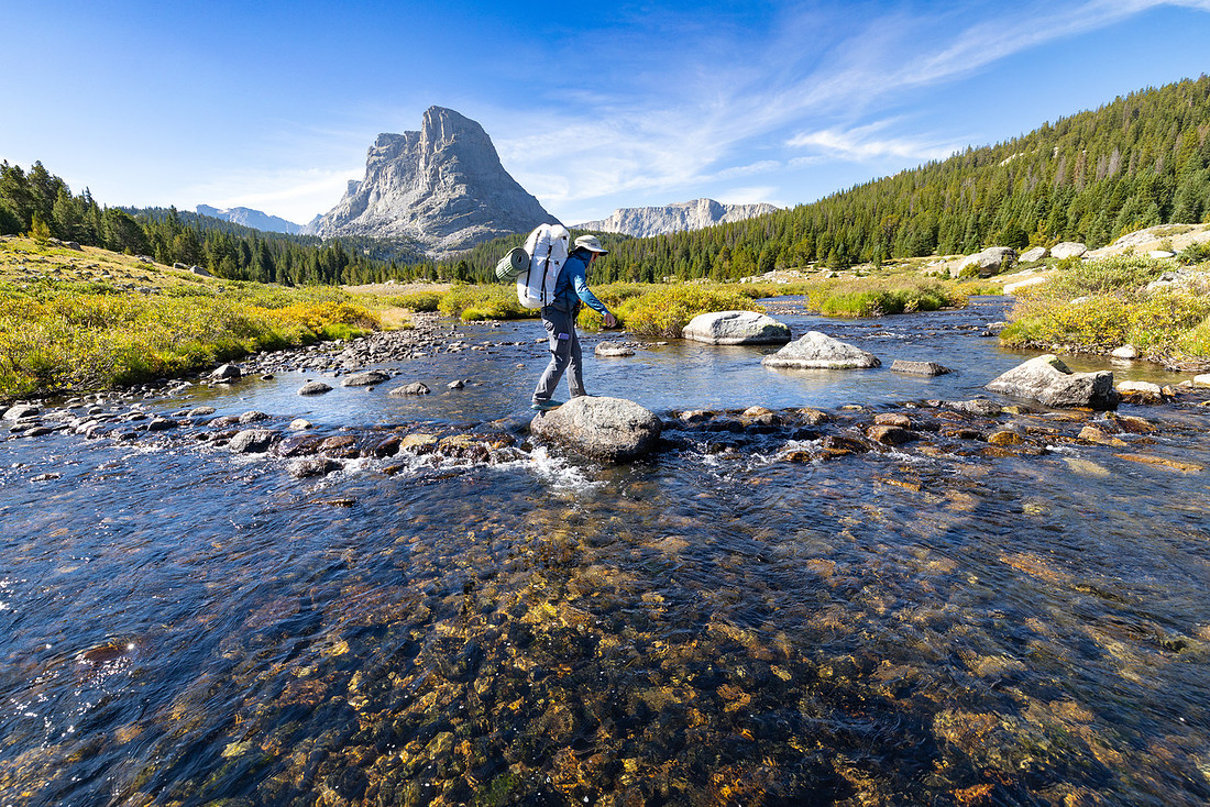
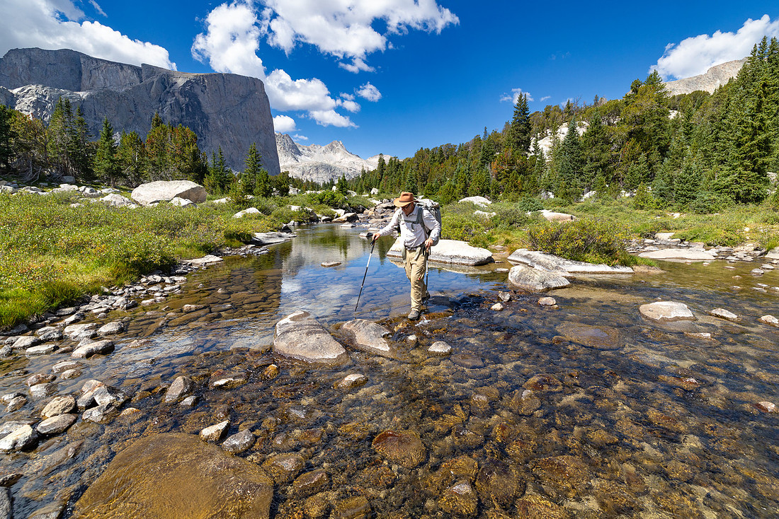
After a quick crossing of the South Fork of the Little Wind River, we had a nice, flat stretch on the Bears Ears Trail for a couple of miles.
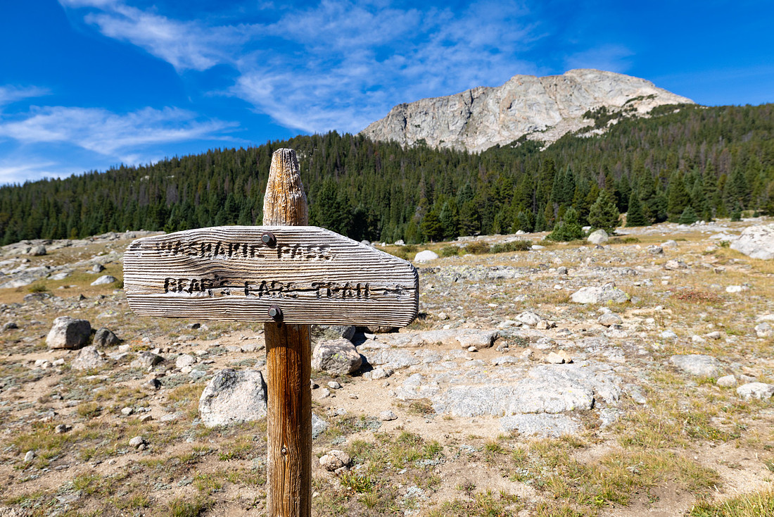
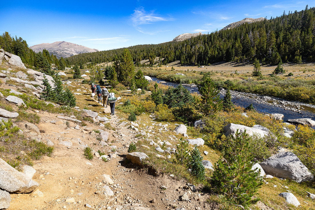
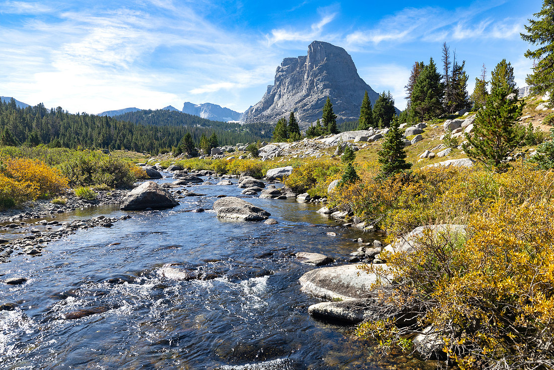
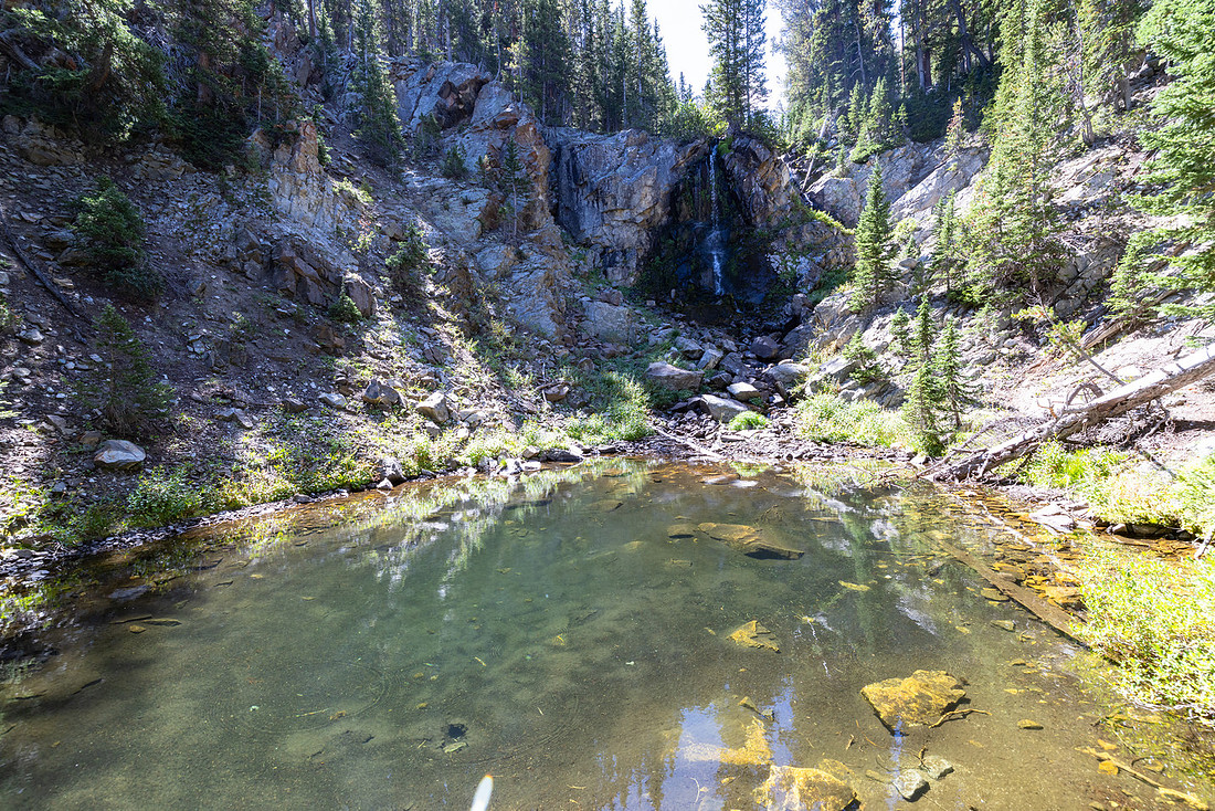
When we started the climb out of the valley toward Grave Lake, the trail wound mostly through the trees, but we did catch glimpses of a nice little lake and a waterfall along the way.
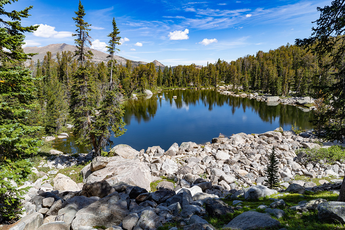
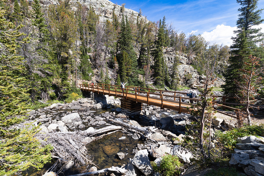
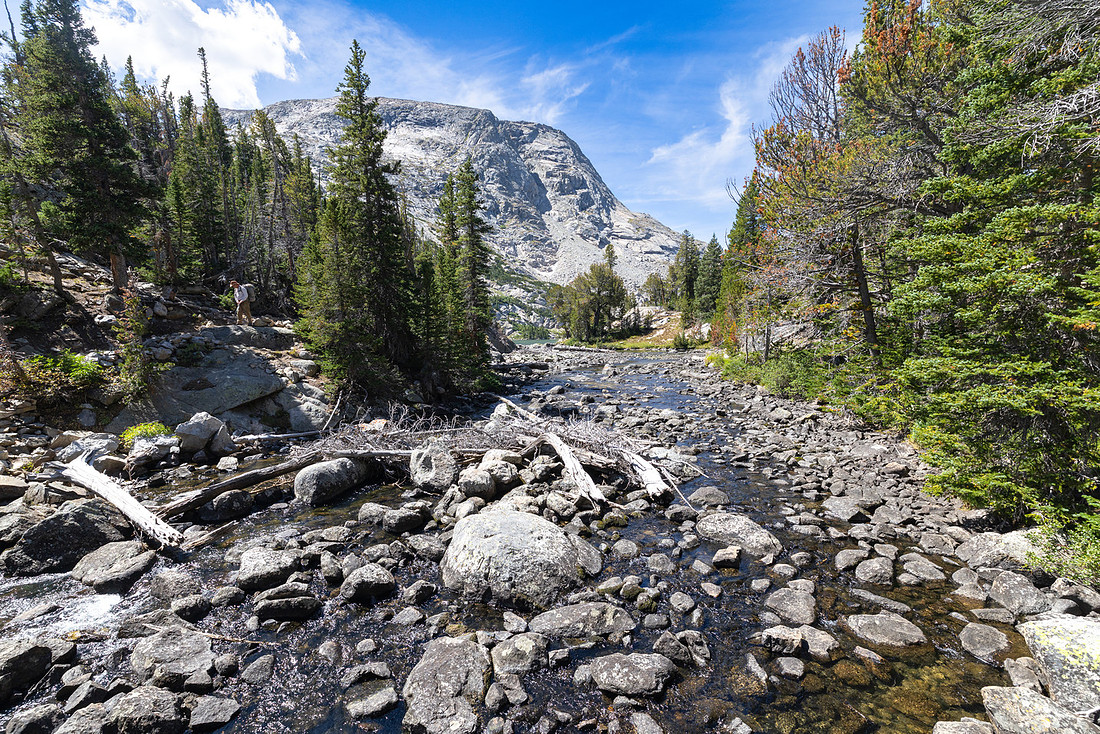
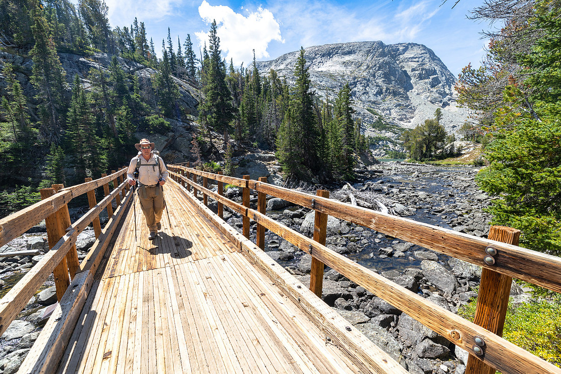
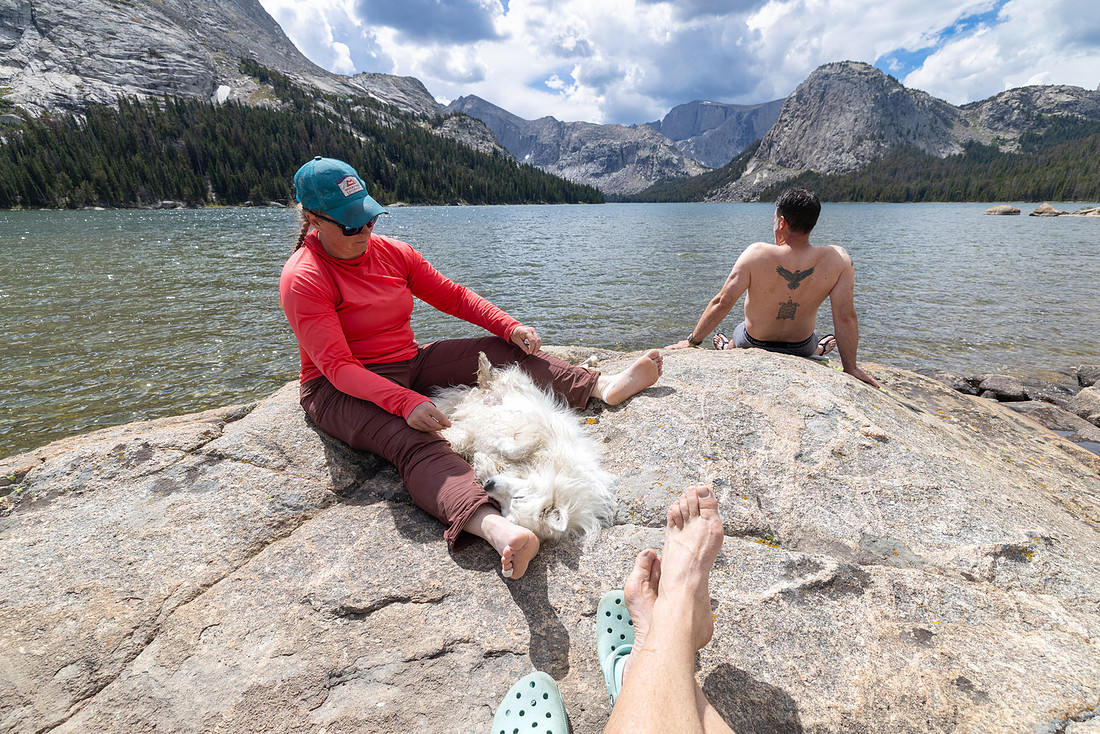
We arrived at Grave Lake around noon and crossed the bridge over the outlet. Since we were so early, we had our pick of campsites and found a prime spot with a great swimming shelf and a sunny rock overlooking the lake.
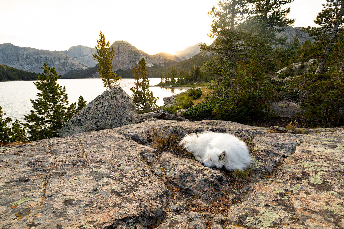
We all took the opportunity to cool off in the water—including Toklat—and then sit in the sun, enjoying the views before the expected afternoon weather rolled in and sent us into our tents for afternoon naps.
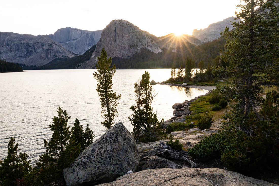
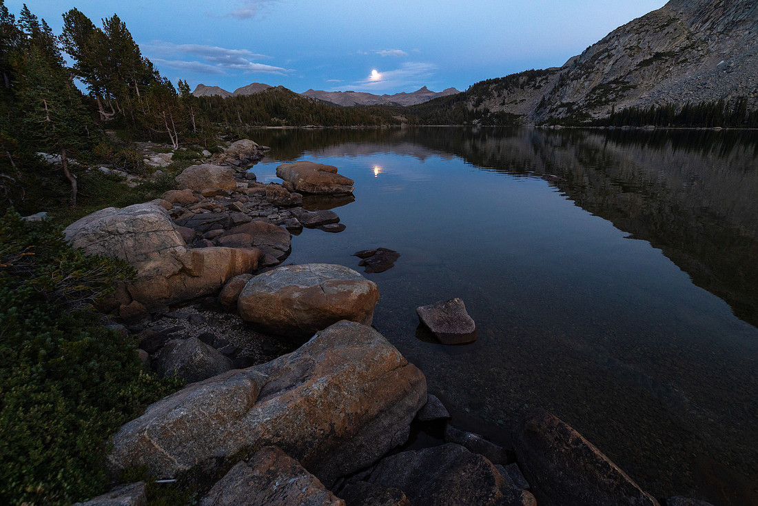
When we got back up, we made dinner on the shore and watched the sunset over the mountains as the full moon rose over the lake. It was a much-needed relaxing day.
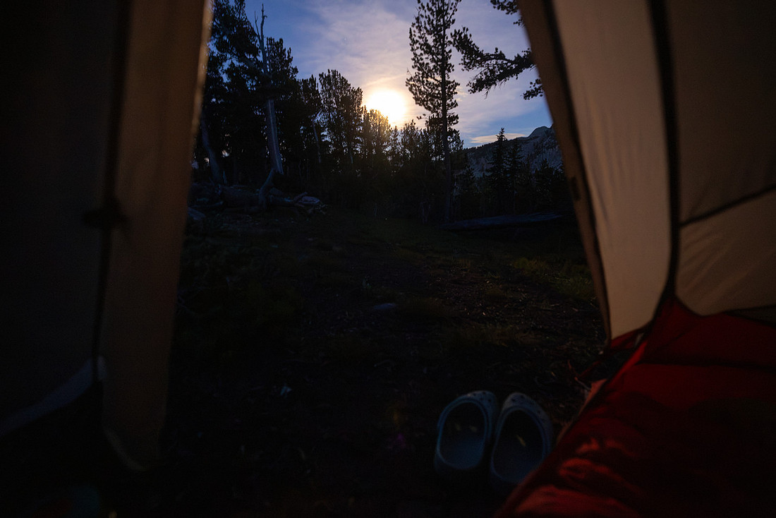
Day 4: Grave Lake to Skull Lake | 9.4 mi | +2098' -1775’
When my alarm went off at 6, it was harder to get out of the bag this morning. It seemed colder than the previous nights. But I got the water on and made coffee for folks out on the rocks so we could watch the sunrise.
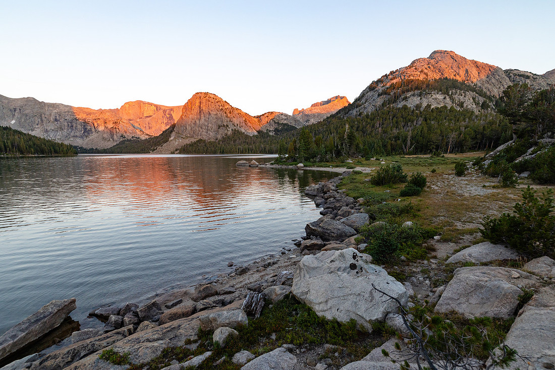
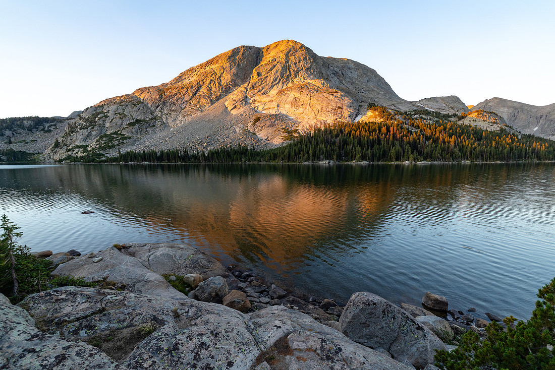
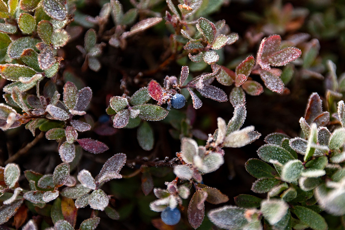
After a while, I started walking around to get some different views of the lake. There was a bit of wind, so there were no glassy reflections like the morning before, but it was still beautiful. I came across a large patch of blueberries covered in frost, which explained why it was so hard getting out of the bag. Eventually, the sun came over the ridge and the morning chill lifted.
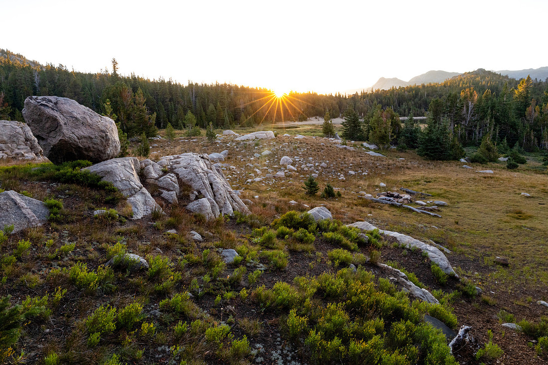
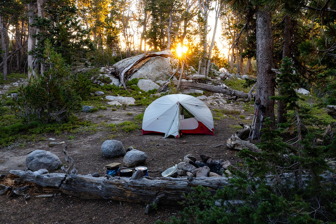
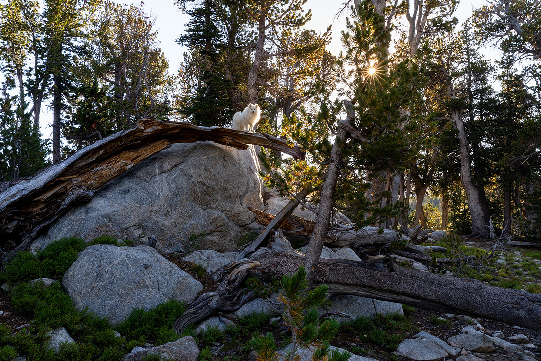
The trail along Grave Lake stayed in the trees until it climbed to the base of Pilot Knob. The granite wall forced you to look straight up if you wanted to see the whole thing, and the views of the lake were spectacular.
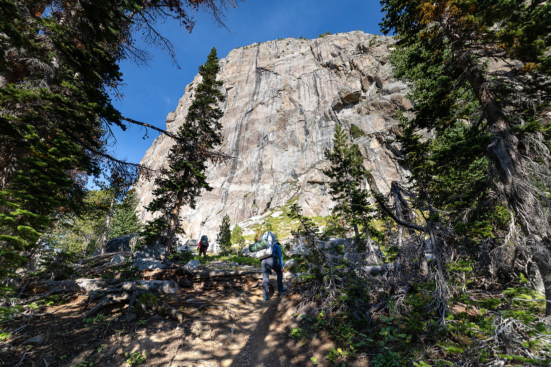
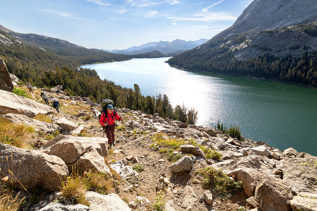
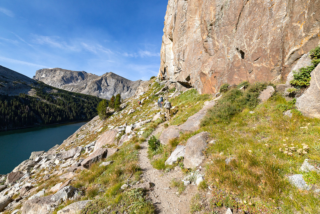
As the trail climbed toward the junction with Baptiste Lake, it passed a view of the namesake creek cascading down the draw.
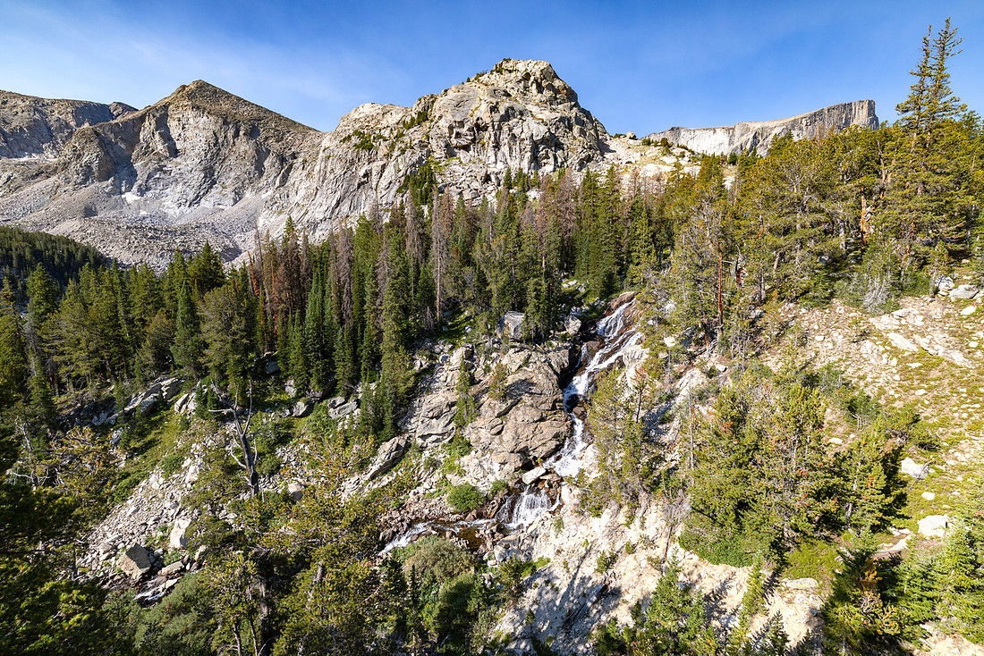
At the junction, the group decided to split up. I was still on the fence about adding miles and elevation to the day, but when Sarah offered to hang with the packs and read a book, I thought it would be smart to take her up on the offer.
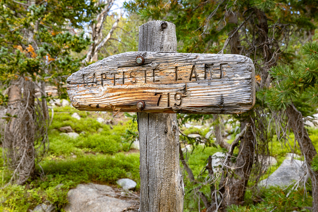
The trail climbed quickly to the first bench, and the tops of the surrounding mountains came into view.
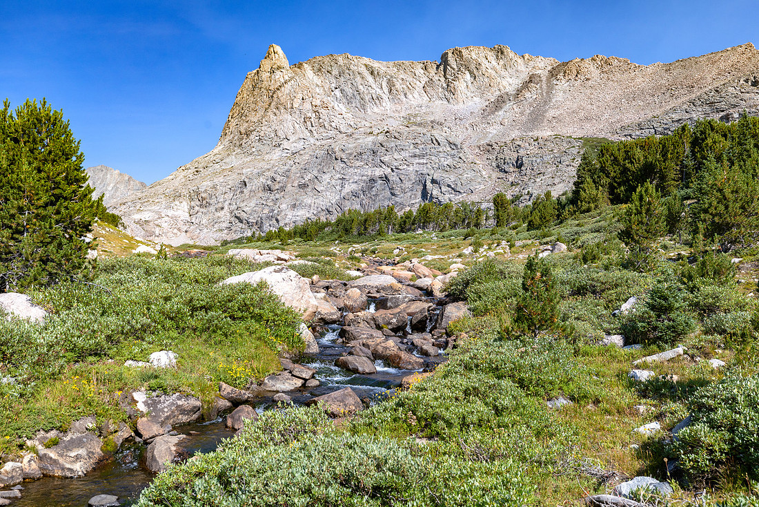
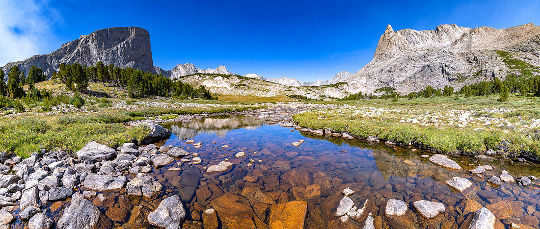
It wasn’t until we climbed up to the second bench that the lake finally came into view, along with a nearly 360-degree panorama of the surrounding mountains.
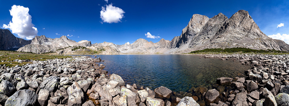
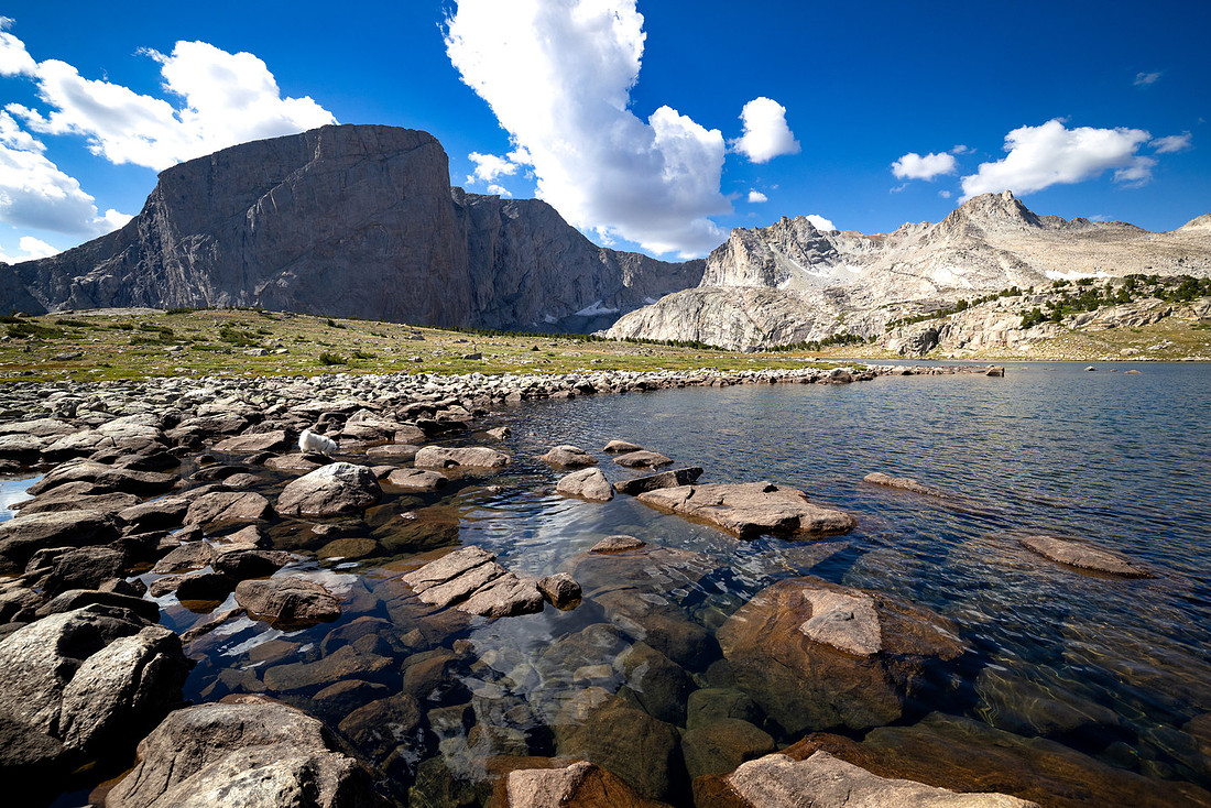
We found a rock near the lake to take in the views for a short while before turning around and heading back to meet up with Sarah at the junction.
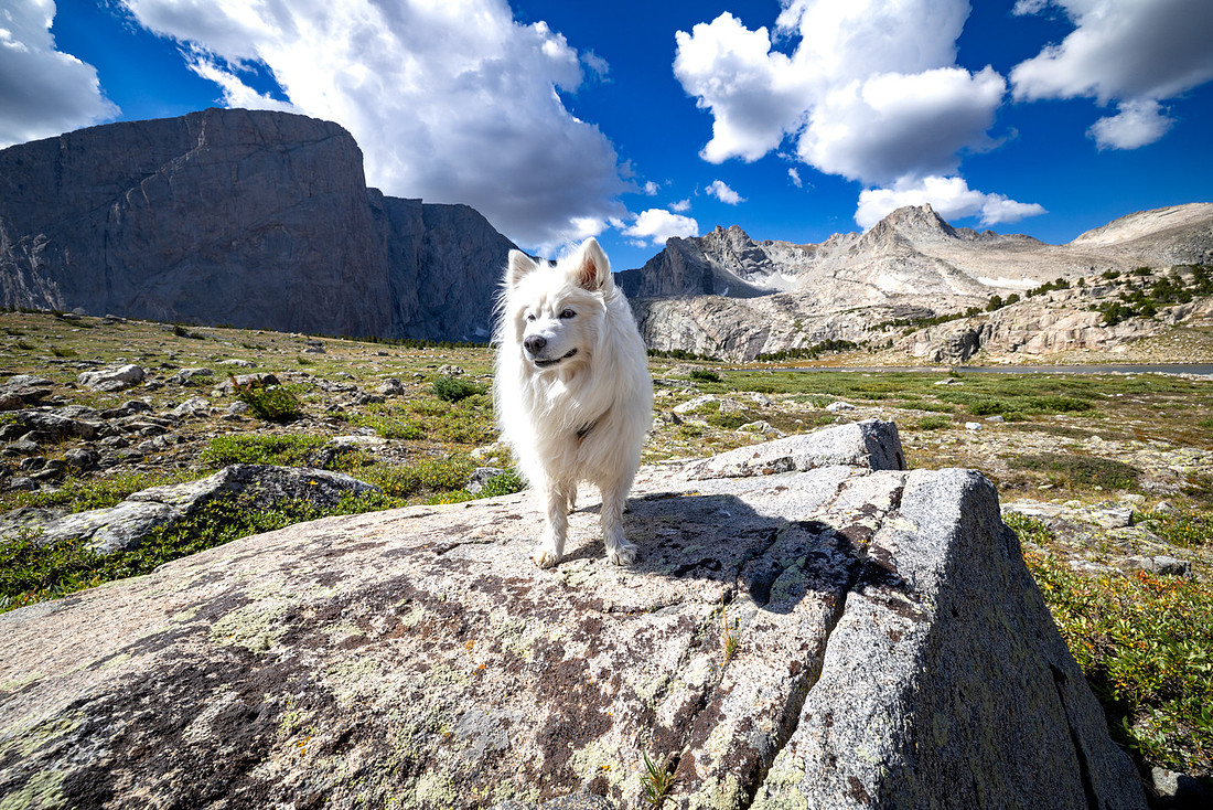
The views along the trail on the way back were just as scenic. It was a good reminder to stop and look around when you’re doing a one-way hike. It’s easy to focus on what’s ahead and miss some of the best views behind you.
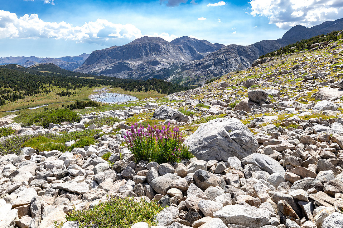
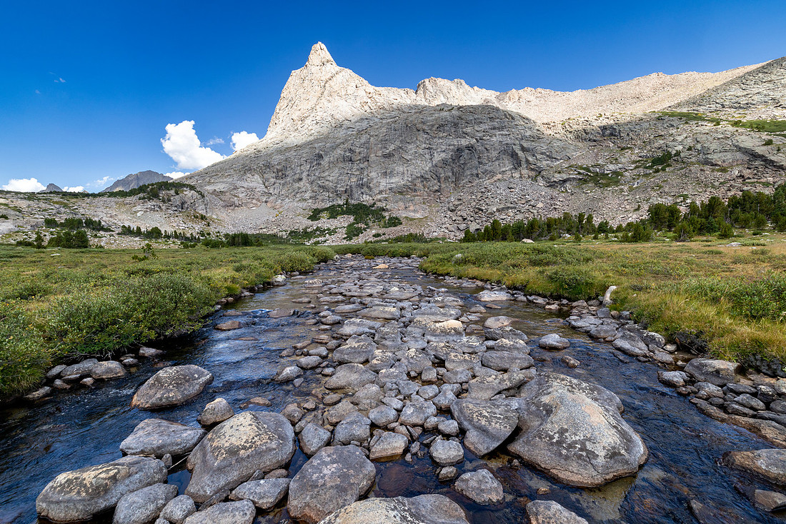
We could also see Hailey Pass in the distance. From this angle, the trail looked practically vertical. We knew that wasn’t actually the case, but it was still cool to have our target in sight.
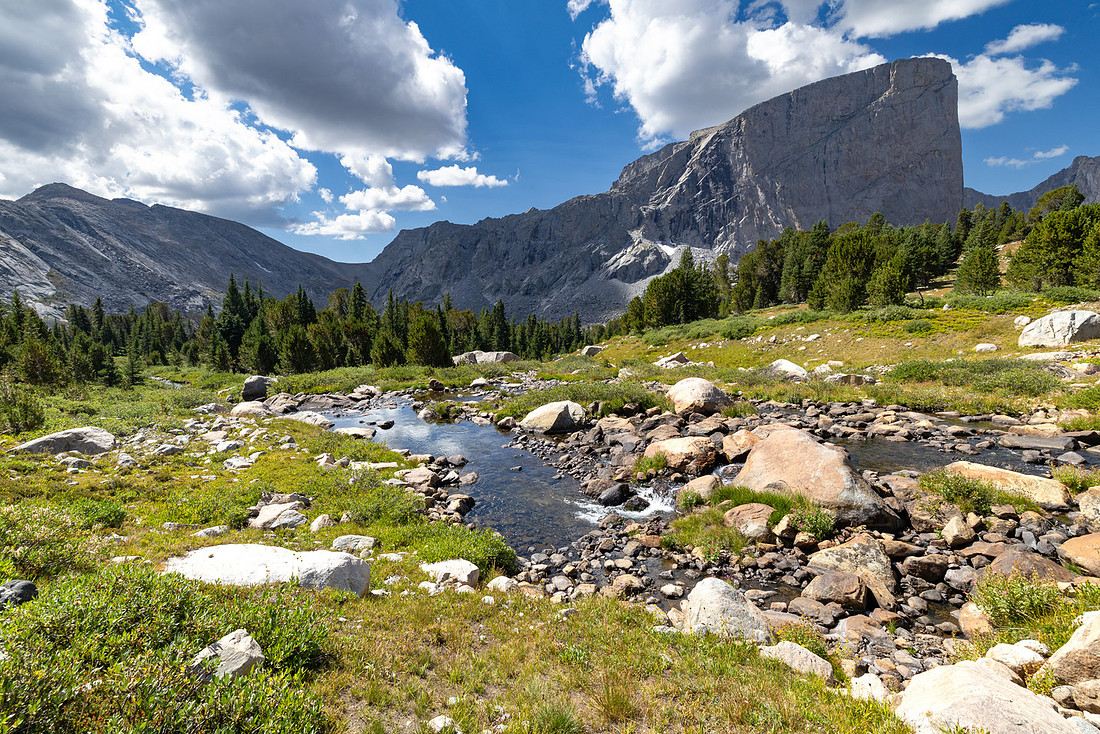
Back at the junction, we shouldered our packs and continued along the trail, crossing the creek and slowly climbing toward the pass.
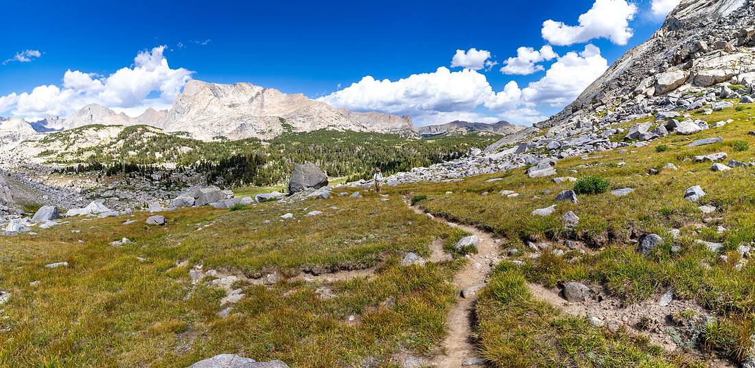
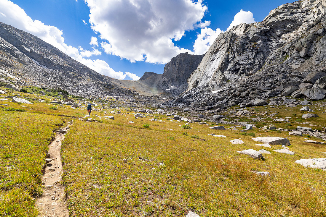
As we climbed out of the tundra and into the rocks, the trail became increasingly steep. It was probably around a 40% grade or more in places. You had to make sure you had secure footing before taking the next step to make sure you had good purchase.
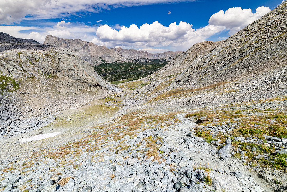
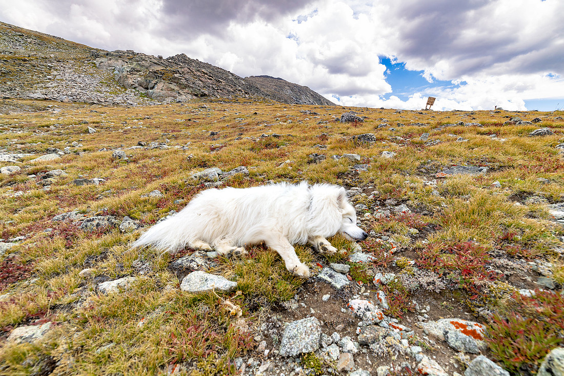
After a steep but relatively brief climb, we reached the pass and stopped for lunch while taking in the views below. Toklat was able to sneak in a little tundra nap.
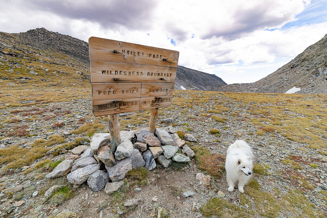
The pass was also the delineation between the wilderness areas, and we would be heading back into the Bridger Wilderness. Shortly after the pass, we came across Twin Lakes, where the trail takes you right between the two lakes.
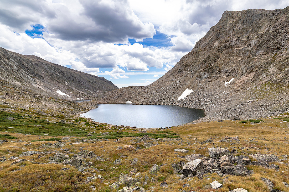
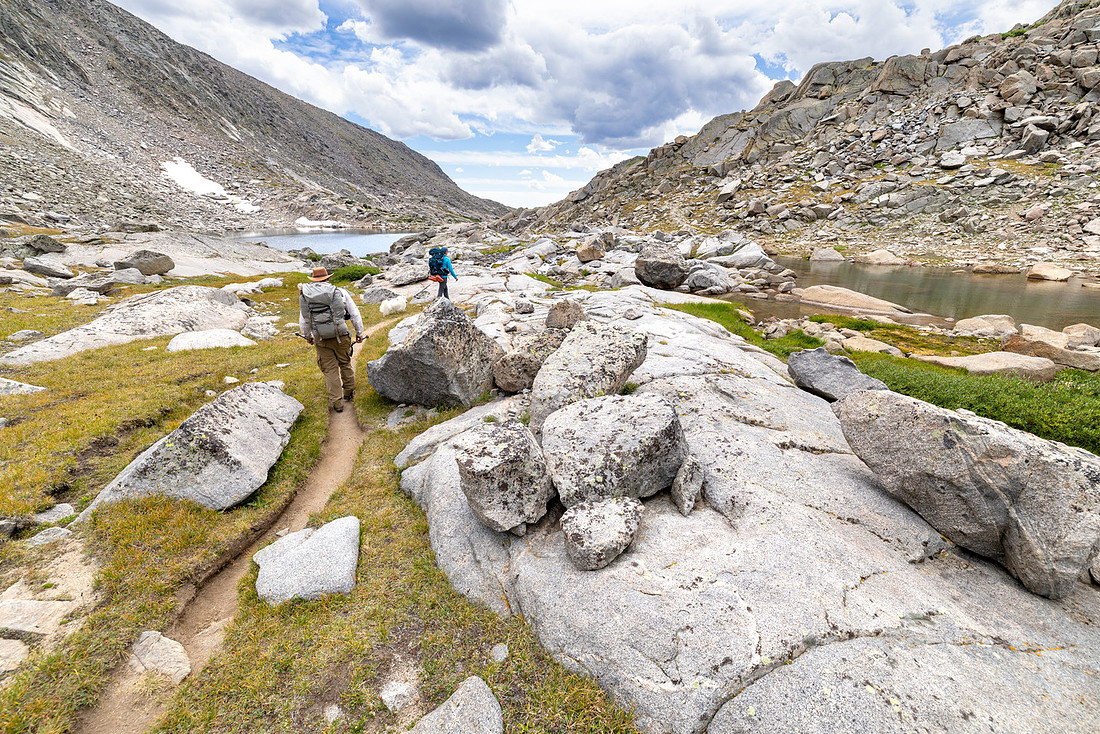
From there, the trail descends toward Mays Lake, with the triangular Mount Geikie towering above.
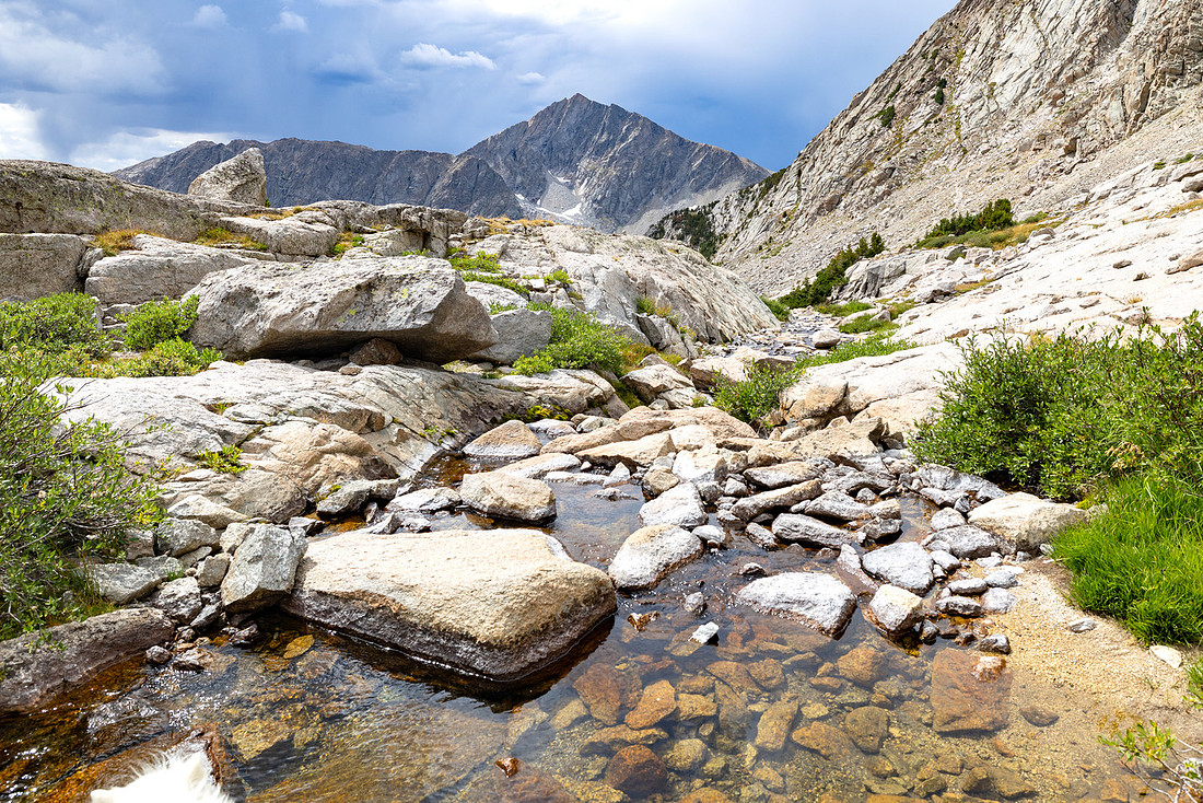
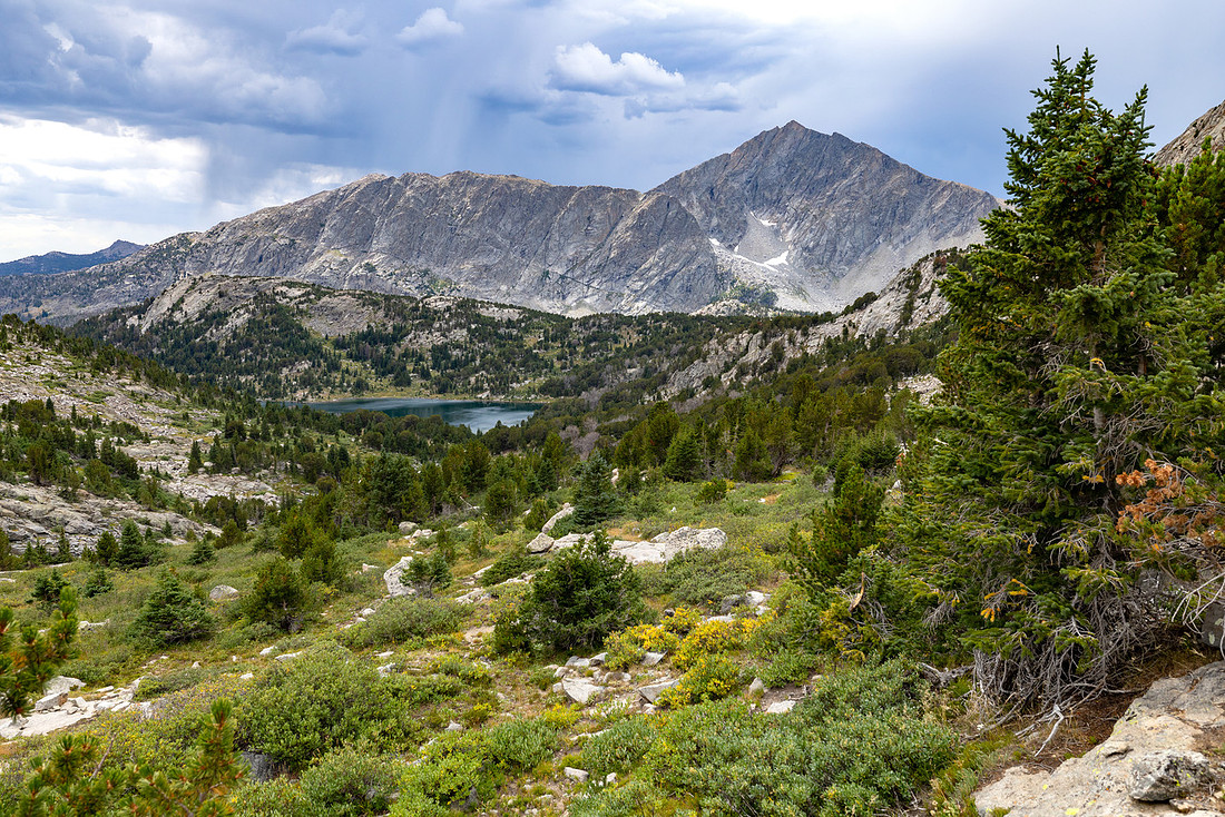
Just after the Mays Lake trail junction, we found our group waiting for us, and it started raining. We ducked into a patch of trees for a short rest. The trees provided enough shelter that we didn’t need our rain gear, and the rain was over in about 10 minutes. By that point in the trip and the day, my feet were starting to ache—the kind of tired they feel before I start to experience plantar fasciitis. I made sure to slow down and focus on each step.
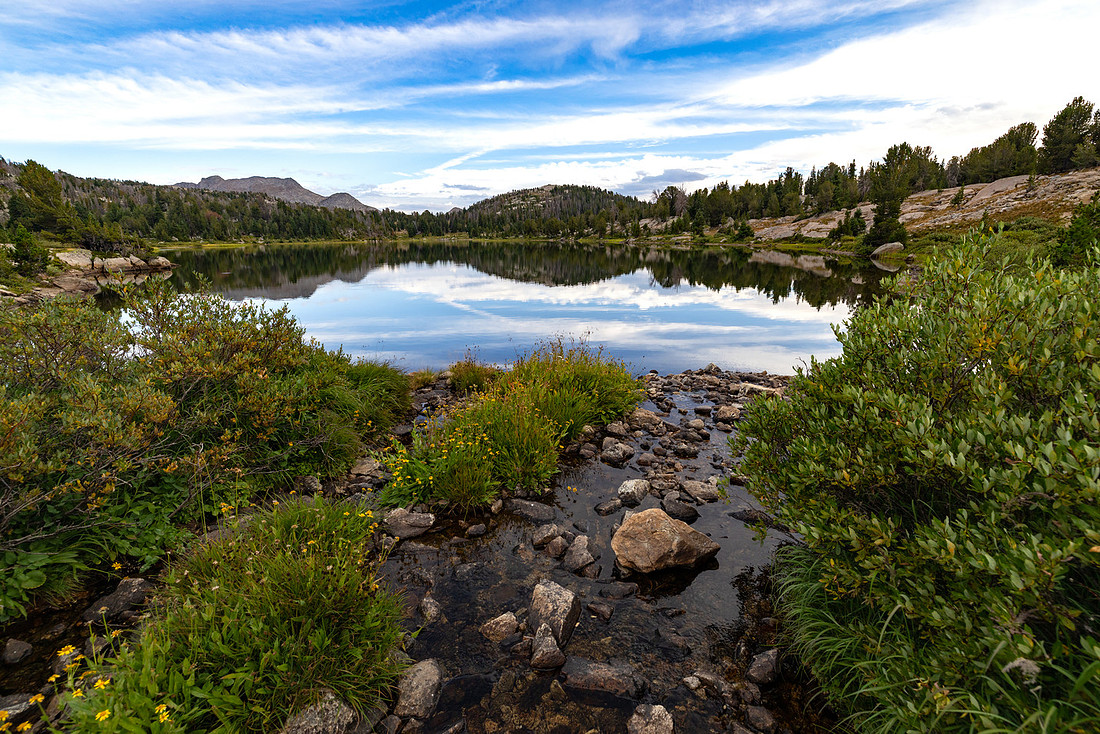
We had planned to camp on the south side of Skull Lake, but when we saw a social trail on the north side, we scoped it out and found a nice, secluded spot near the creek. There was a nice rock outcrop where we could enjoy the views again, along with decent access to the lake for swimming.
We finished dinner around 6, about an hour or more earlier than every other day, so we hung out and visited since it was our last night on the trip.
We were finally getting the hang of things just as it was time to head home.
Day 5: Skull Lake to Big Sandy TH | 10.9 mi | +739' -1950'
We woke up to another beautiful morning, just in time for a nice sunrise over the lake.
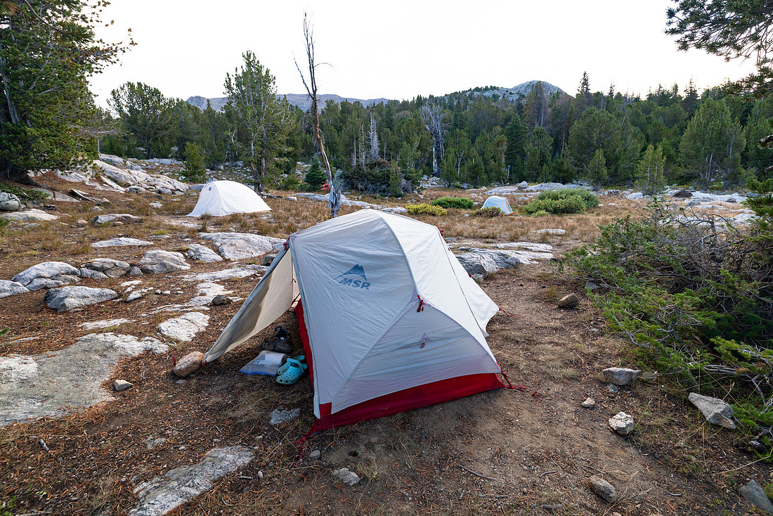
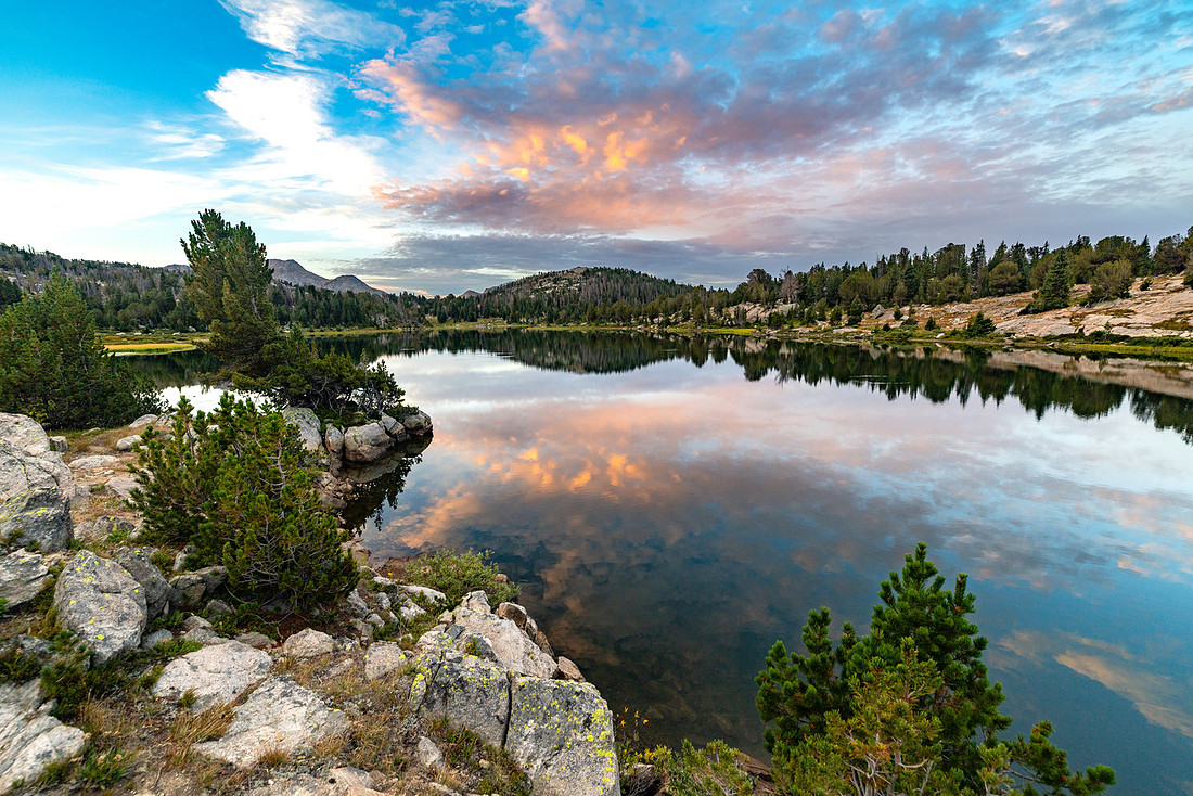
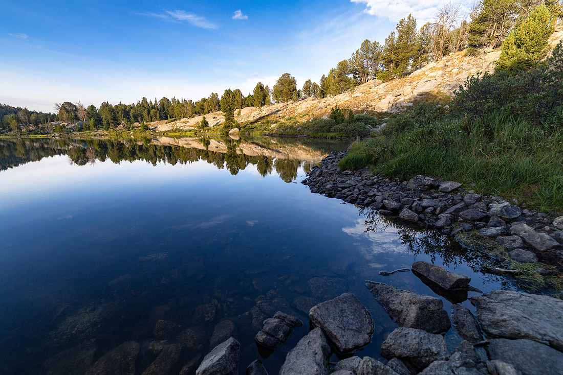
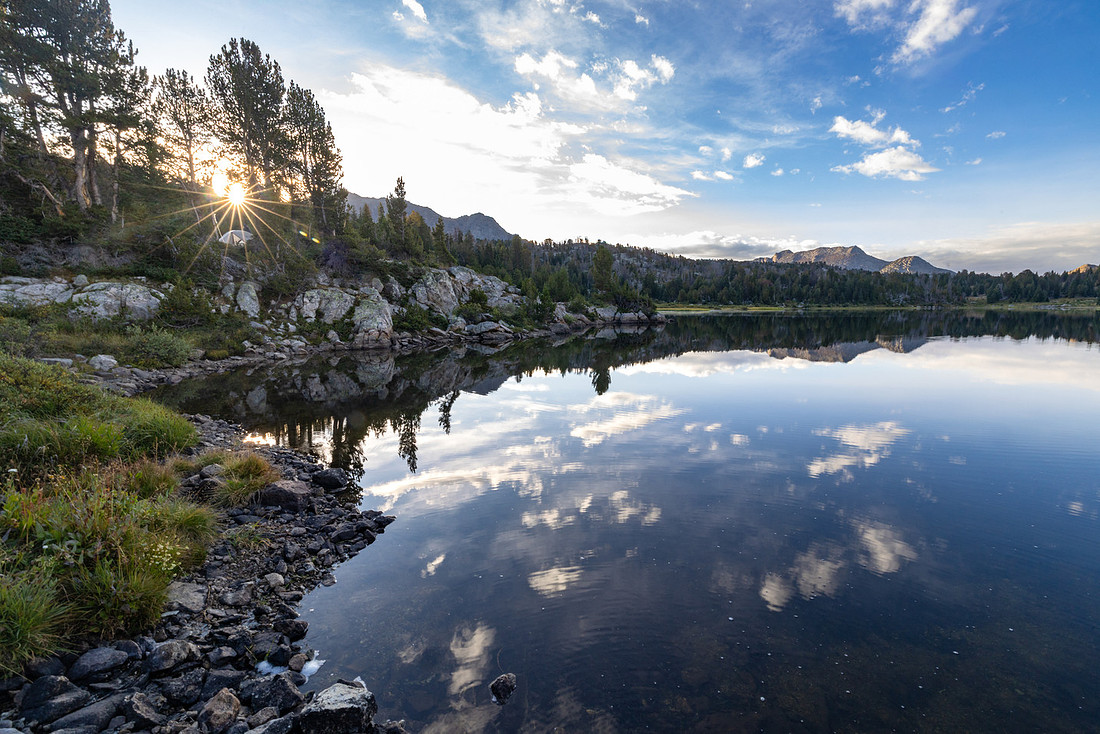
After breakfast, we hit the trail. We had a long day of hiking ahead of us, followed by the 90-minute drive back to Pinedale for the night.
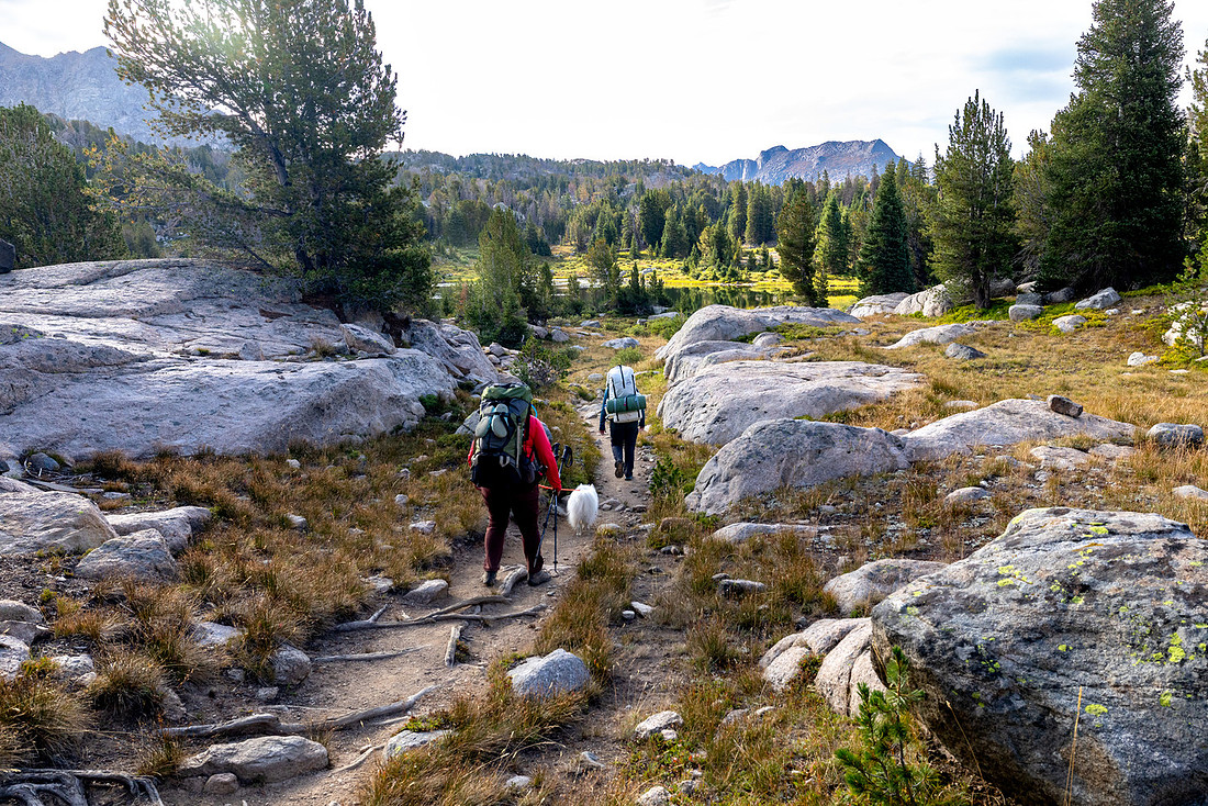
The views along the lake were beautiful, and I could definitely see the benefit of camping on the south shore.
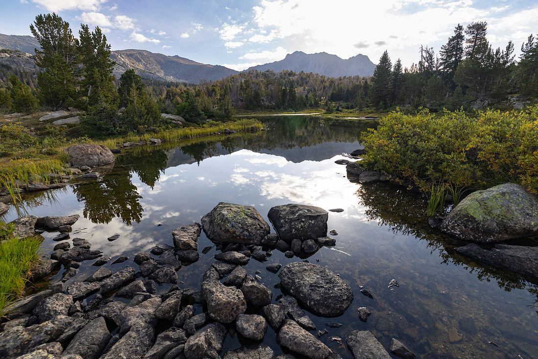
As we hiked south, the towering mountains that had surrounded us for the entire trip were now mostly to the east and behind us. Ahead of us was the flat, open range, which meant I had to stop and turn around often to take in the views. It’s also a good argument for hiking this route in reverse. We decided to do it the way we did so we would be at Lonesome Lake on Monday rather than Friday. We figured it would be less crowded that way.
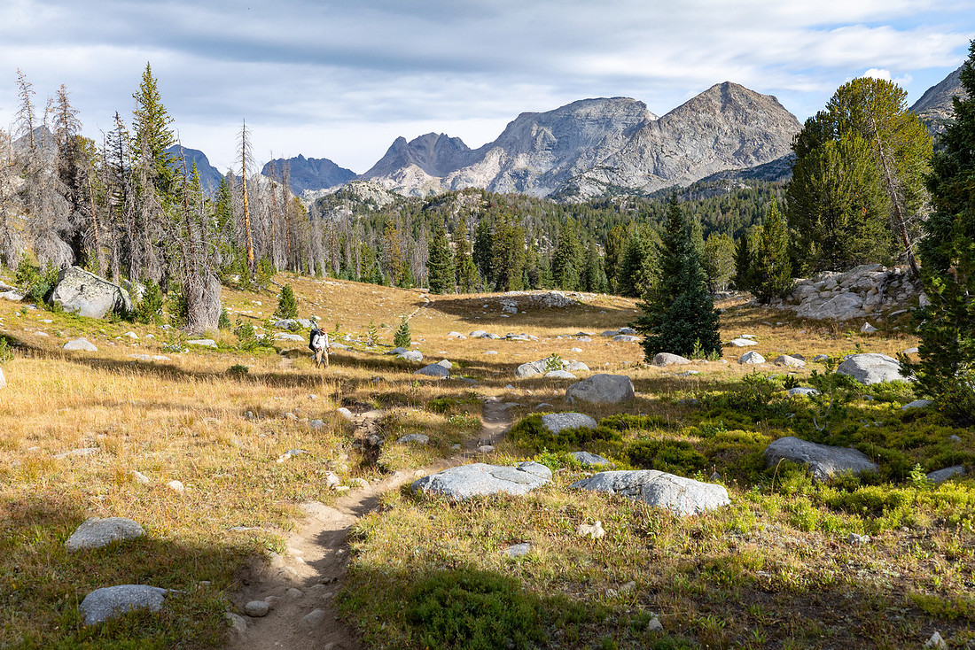
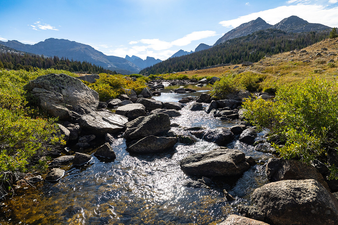
As we made our way south, we came across a number of open meadows with meandering streams. It felt nice to stretch our legs and walk through the open country rather than constantly having to watch our foot placement through the typical slow-going rocky terrain.
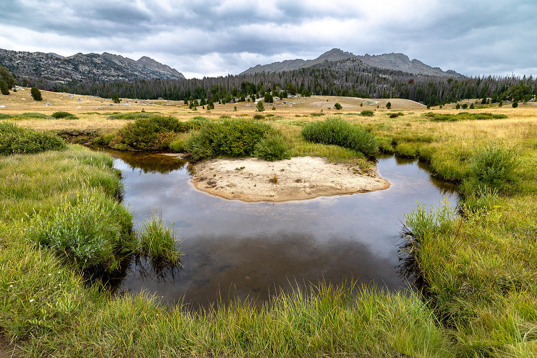
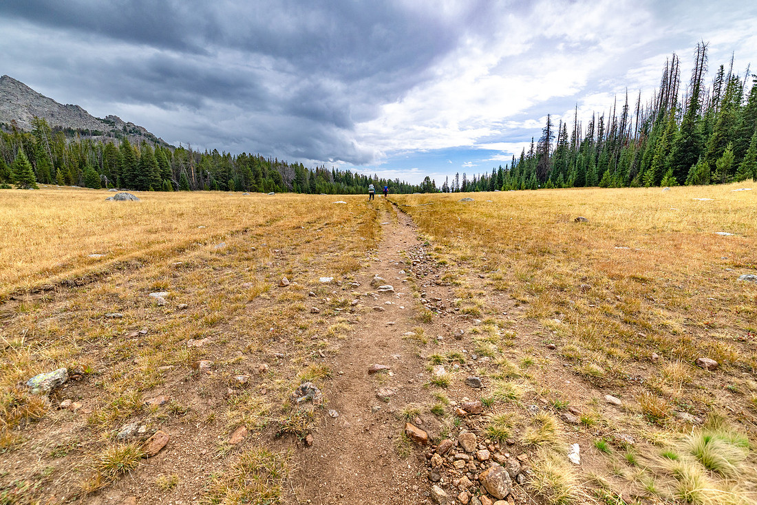
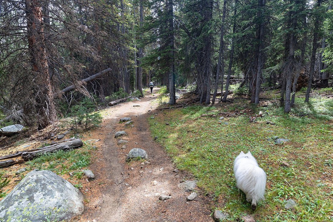
Eventually, we made our way back into the forest until we finished the loop and had only a half-mile of level ground left between us and the sea of cars and people at the trailhead.
Trip Review
Overall, we did about 45 miles with roughly 7,600 feet of elevation gain and loss. This was easily one of my favorite trips I’ve done in the Lower 48 and absolutely competes with some of the big trips we’ve done in Glacier.
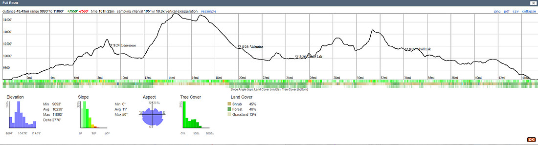
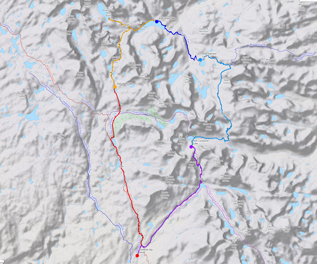
My favorite stretches of the trail were on day two, the Lizard Head Trail, and the section between Grave Lake and Mays Lake, including the spur trail to Baptiste Lake. It would be awesome to do a layover day in some of these areas and spend more time exploring off trail. There seems to be an almost infinite number of possibilities.
As I mentioned, the trail is not always easy. I used my hands a lot and had to pay close attention to where I was putting my feet, but that was also part of what made the trip so rewarding. I’m excited to explore some other trips in the Wind River Range and see what else is out there.
The Wind River Range had been on my radar for a long time. It lives up to the hype.
Sometimes the trips you wait the longest for end up being the ones that are worth the wait.
-Jake